We welcomed 2023 with this bucket-list trip that consisted of 10 days in Hawaii (plus two traveling to and from) – and we packed as much as possible into that time, visiting four islands and having so many firsts along the way. Including:
✔️ Swimming in a volcanic crater in a sea filled with humpback whales
✔️ Seeing the sun rise above the clouds on top of the world’s largest dormant volcano
✔️ Driving an iconic route (known to be challenging under good conditions) in a downpour
✔️ Trekking slick and muddy waterfall trails through rain forests
✔️ Walking along a lava-formed black beach
✔️ Visiting the so-called “Grand Canyon of the Pacific”
✔️ Finding a famous film location
✔️ Crossing a volcanic crater on foot
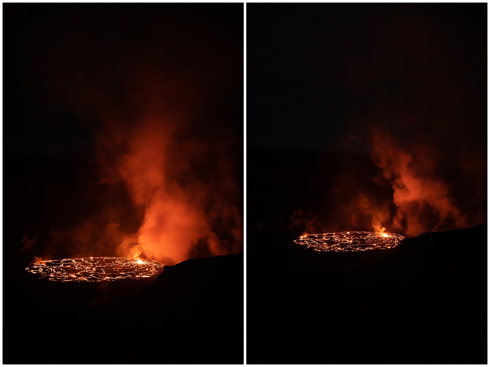
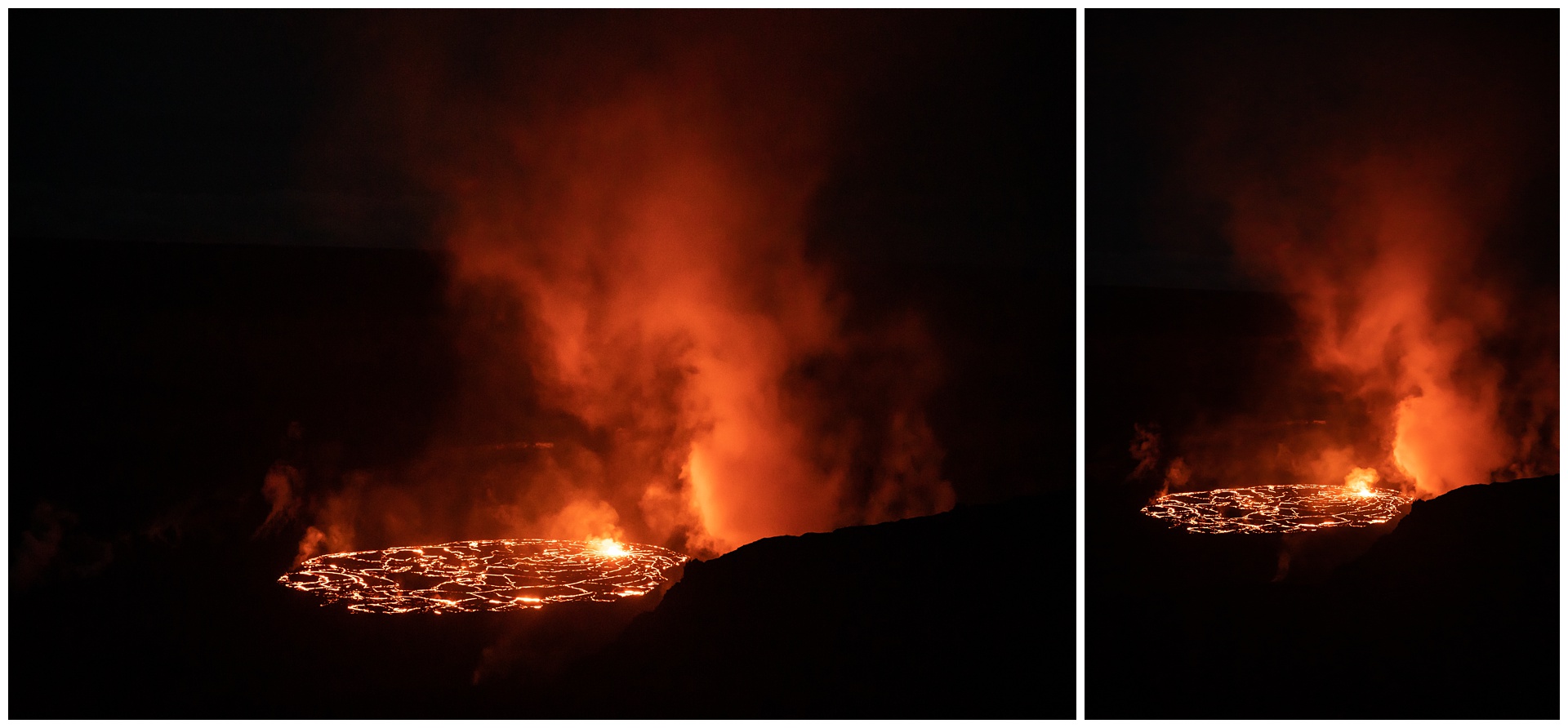
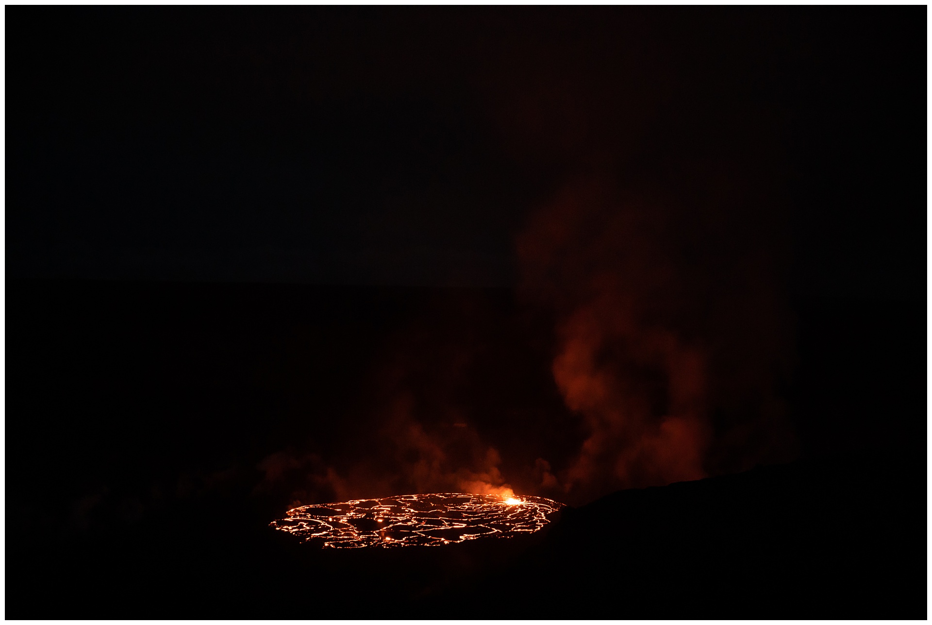
✔️ Witnessing lava bubble up and fill the sky with smoke
✔️ Hiking to a remote green beach (one of only four in the world)
✔️ Standing amidst crashing waves at the southernmost point of the United States
✔️ Night-snorkeling with massive manta rays
✔️ Traveling from sun and sand at sea level to snow on top of Hawaii’s tallest peak
✔️ Taking in history and culture in Honolulu
… And more! It wasn’t the lazy beach vacation that often comes to mind in regard to a tropical getaway – and in what seems to be somewhat of a trend for us, our trip coincided with an unusually rainy stretch, so it also wasn’t all stereotypical sunshine. But it was an experience and exploration that was perfect for us, and I’m excited to finally have it curated here:
– feature film –
See the occasion come alive in these video highlights!
day 1 • 01.24.23
Missouri >>> Maui
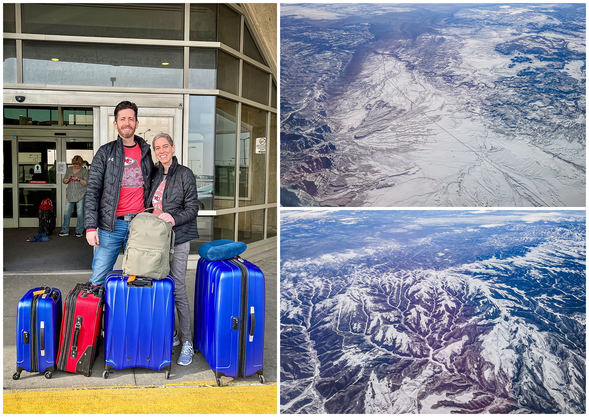
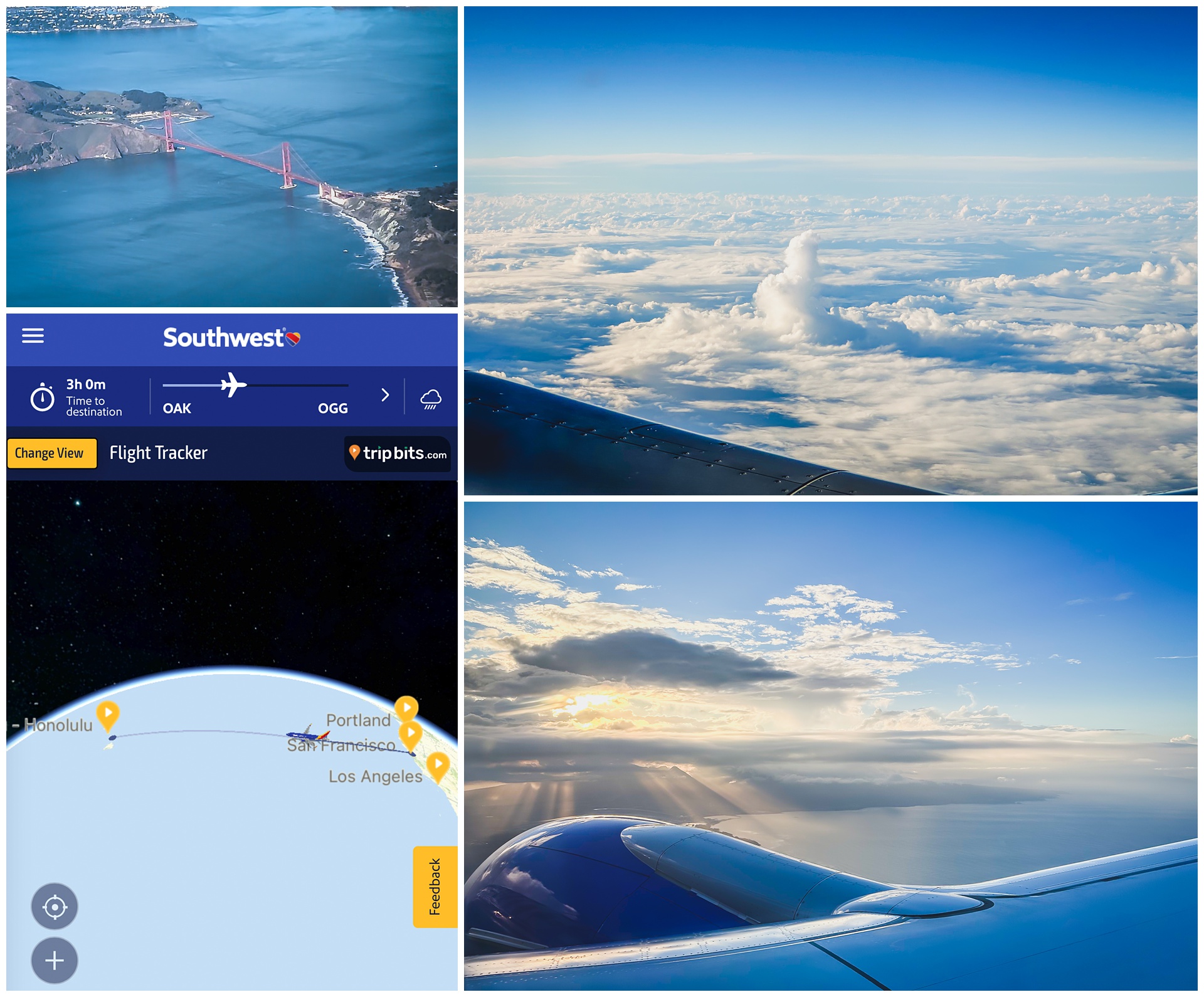
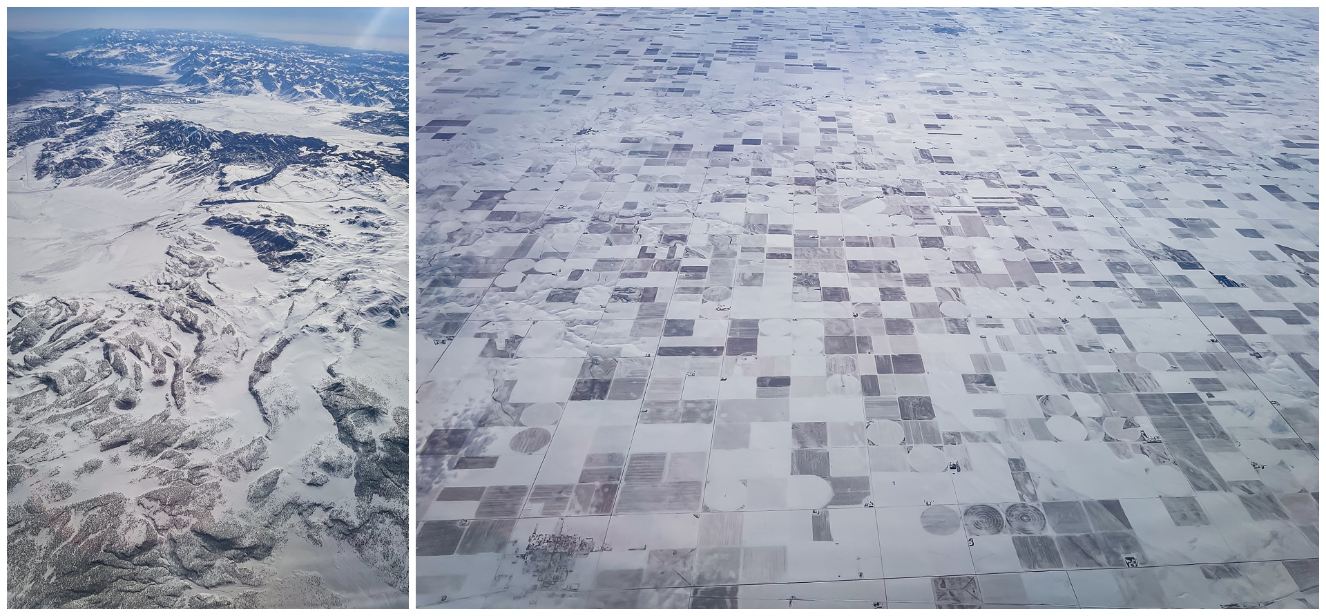 We flew across snowy countryside to California, having a layover in Oakland and then getting an aerial view of the Golden Gate Bridge as we continued on to Kahului. Our flight landed shortly before sunset, giving us a great golden-hour welcome.
day 2 • 01.25.23 • maui
snorkeling & a sea town
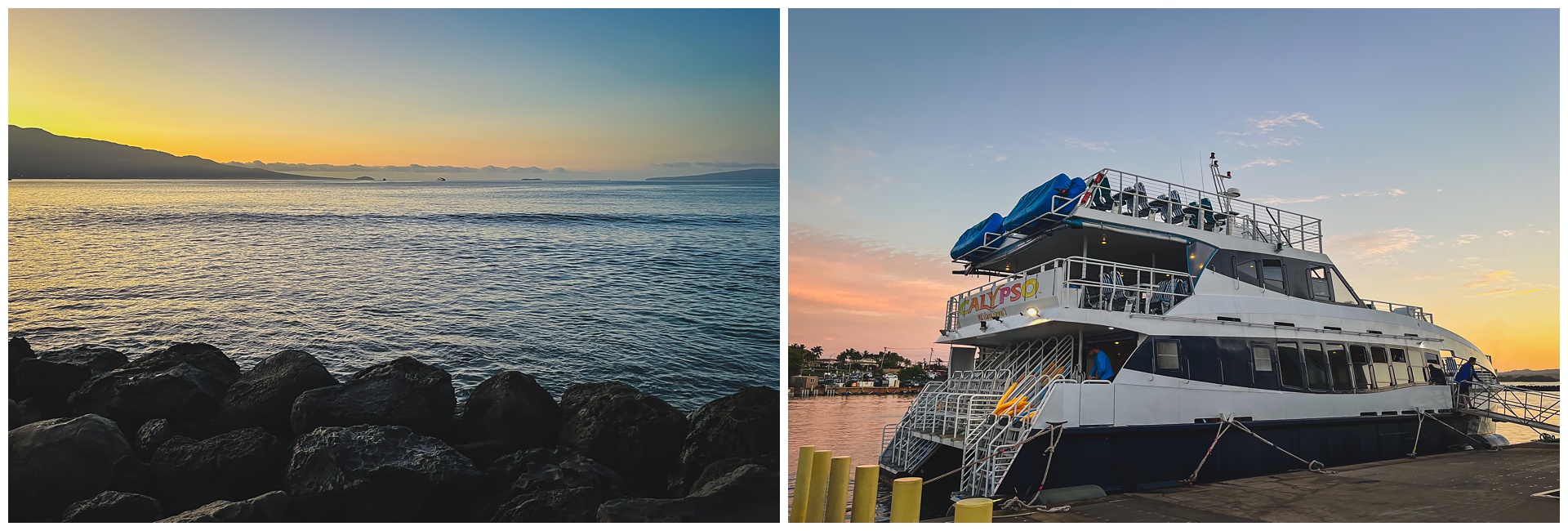
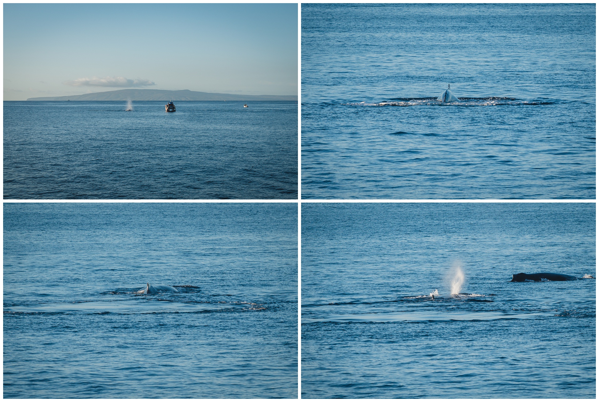
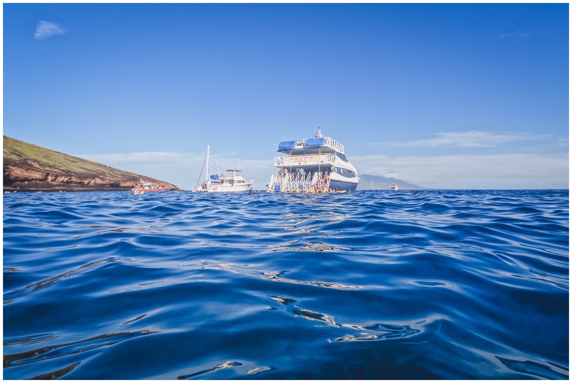
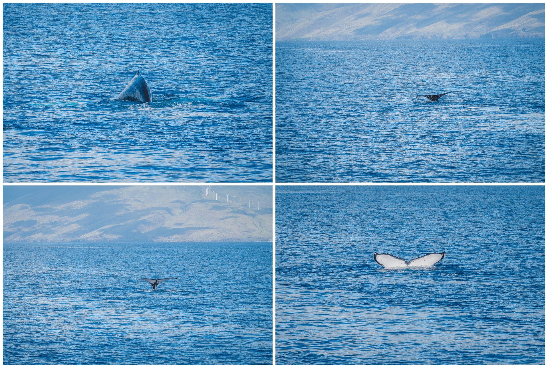
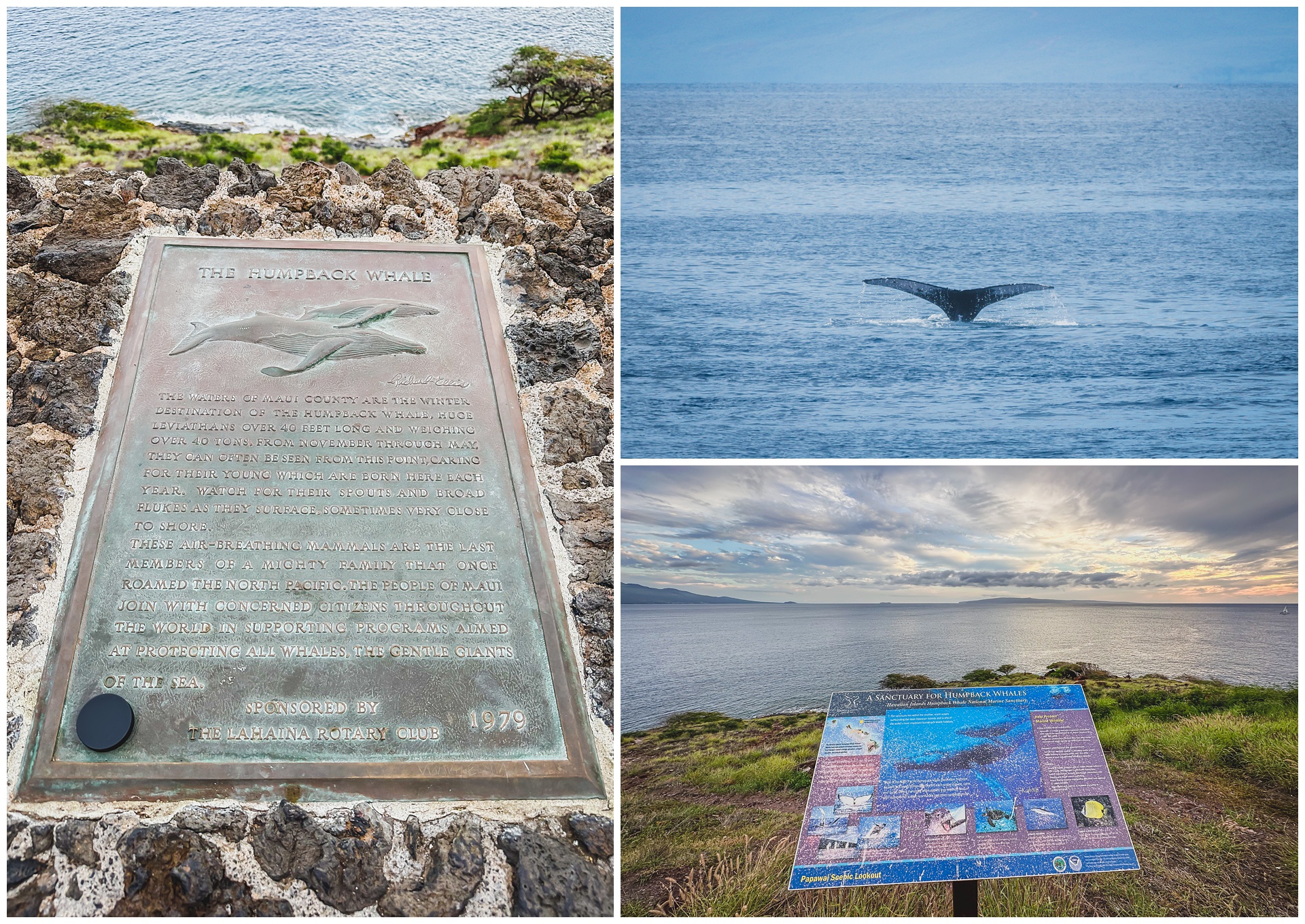
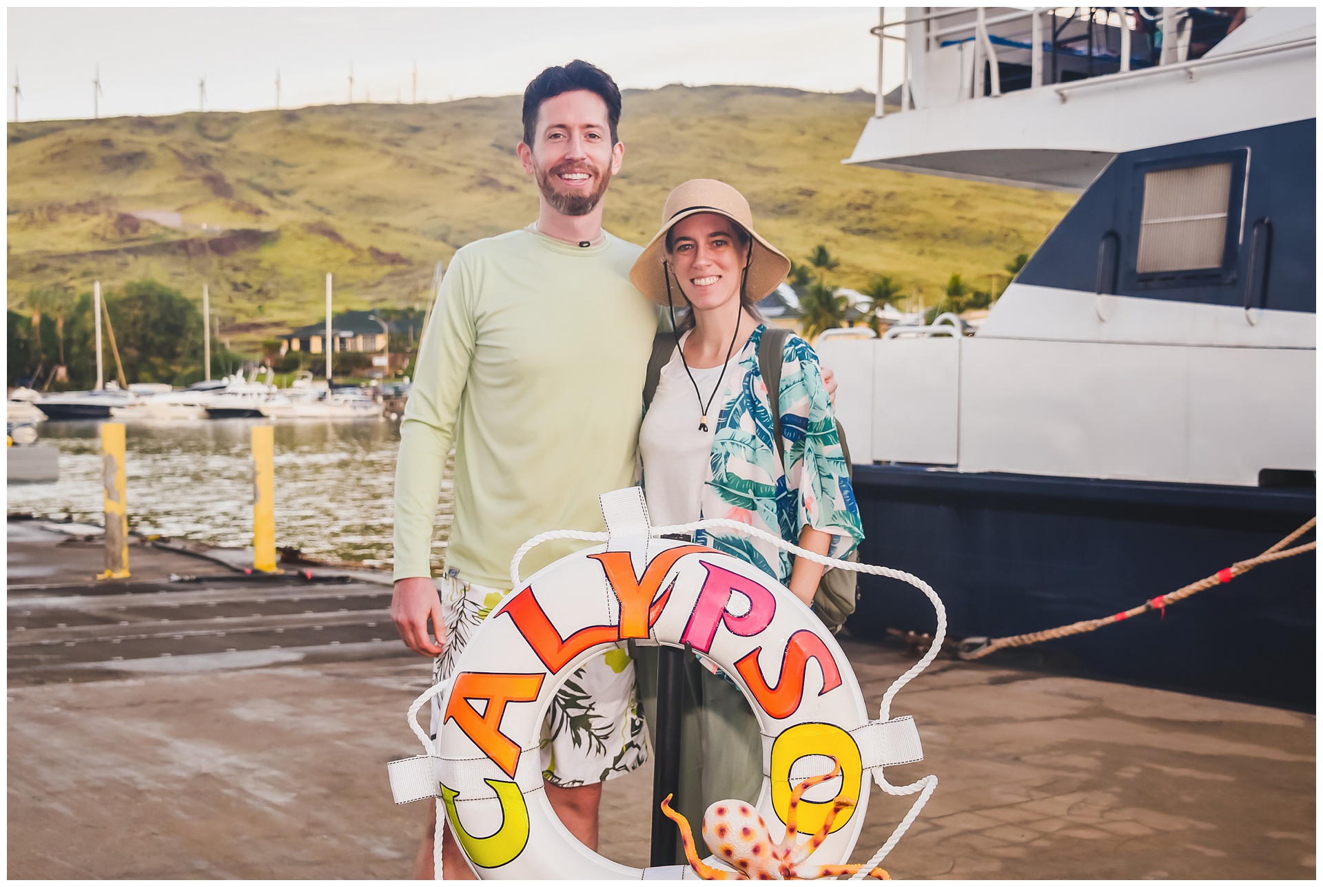 We were up before the sun for our first full day in Hawaii, setting out on a snorkeling excursion that ended up doubling as a whale-watching cruise. This was peak season for humpback whales, with the waters around Maui hosting the world’s densest population during the winter months. We’d whale-watched in San Diego five years earlier but saw many more this time, which was an awesome surprise.
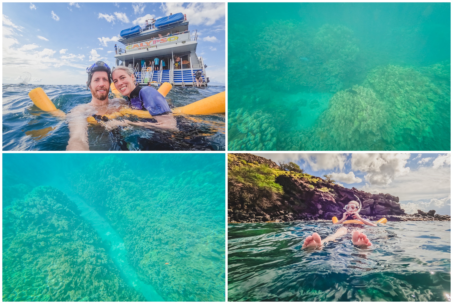
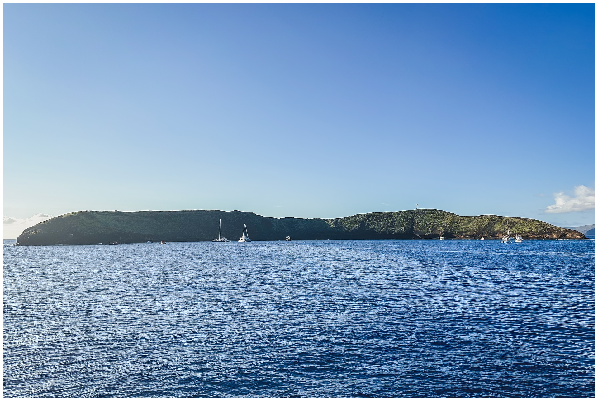 Our first snorkel stop was Molokini Crater, Hawaii’s only island marine sanctuary and one of only three volcanic calderas in the world. The water is so clear, giving great visibility.
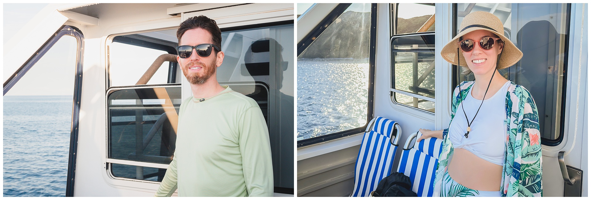
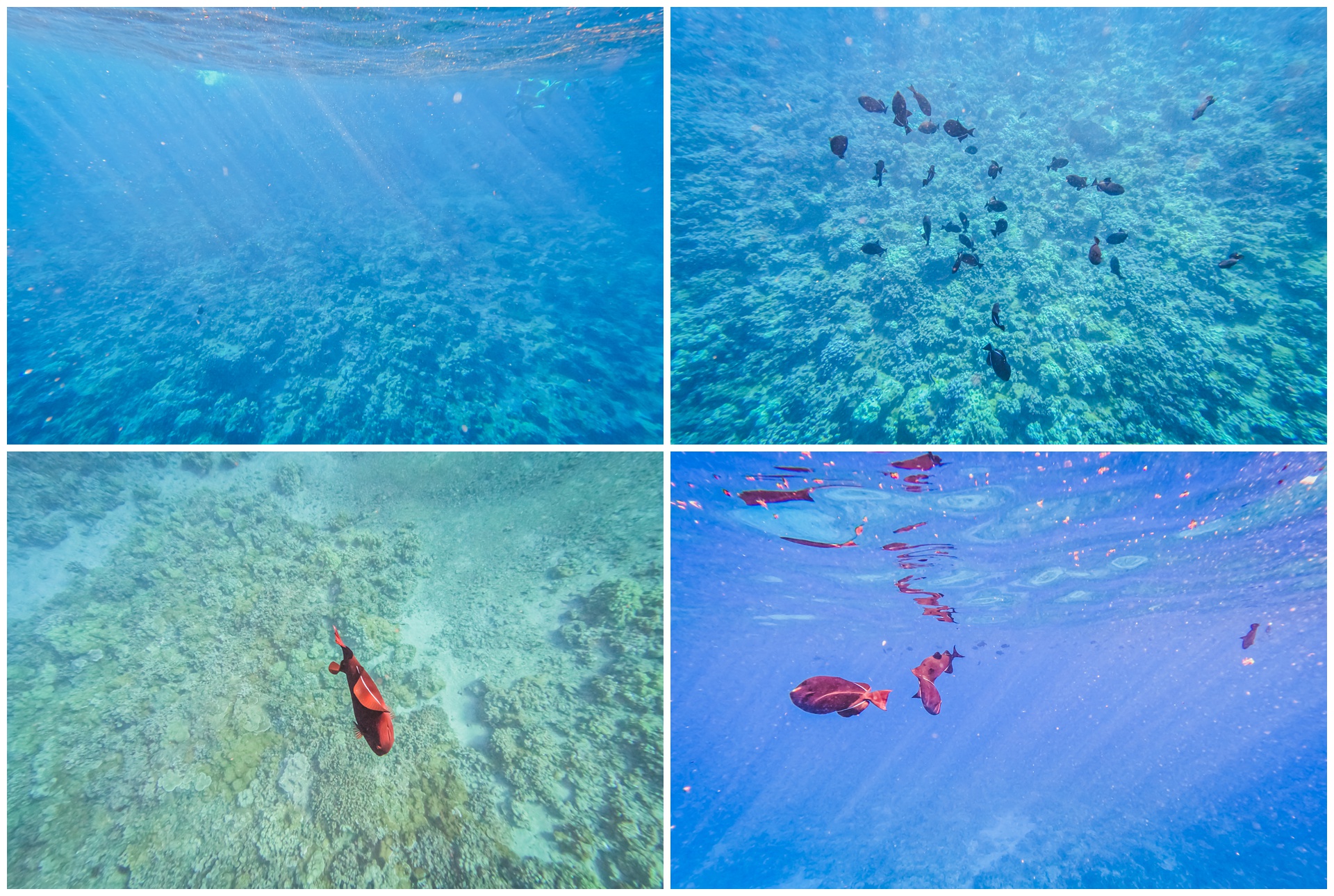

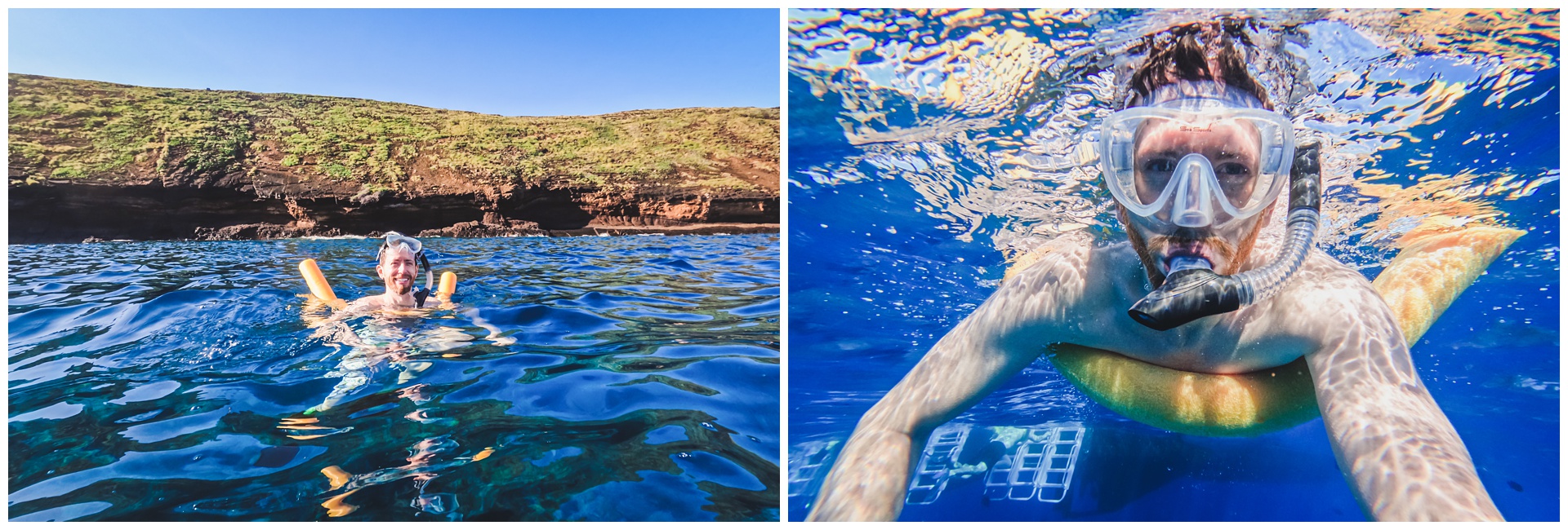
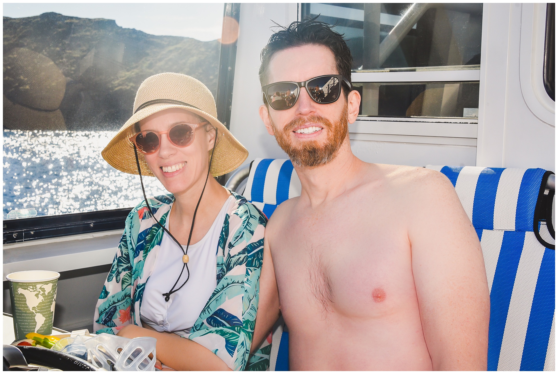
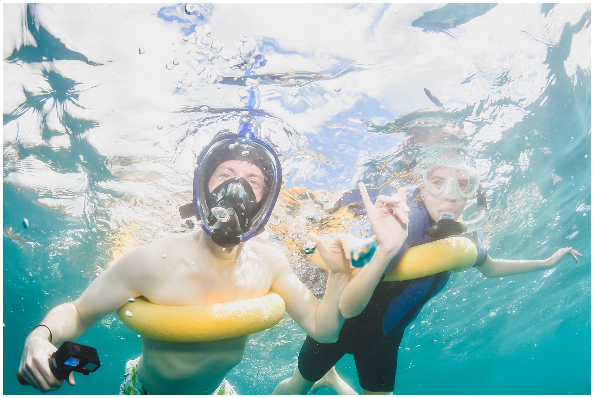
 We saw more whales on the way to our second snorkel spot, and I opted to rent a wetsuit at this point, as I hadn’t really warmed up after my first stint in the ocean. We unfortunately didn’t see an sea turtles here – despite being at a location known as Turtle Town – but paddling around exploring coral reef was still a special experience we don’t have too often.
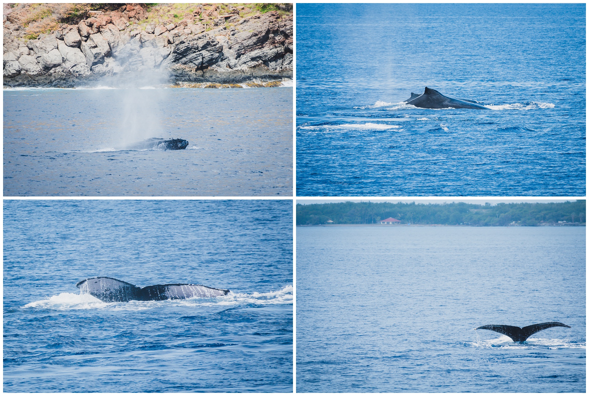
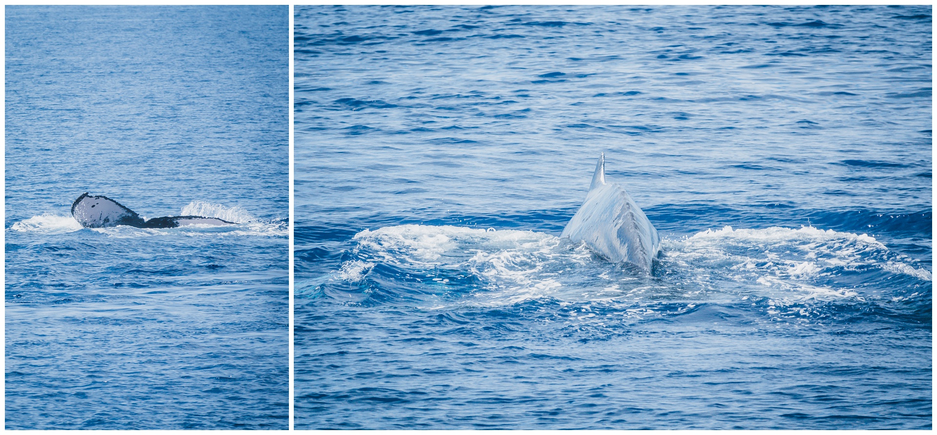
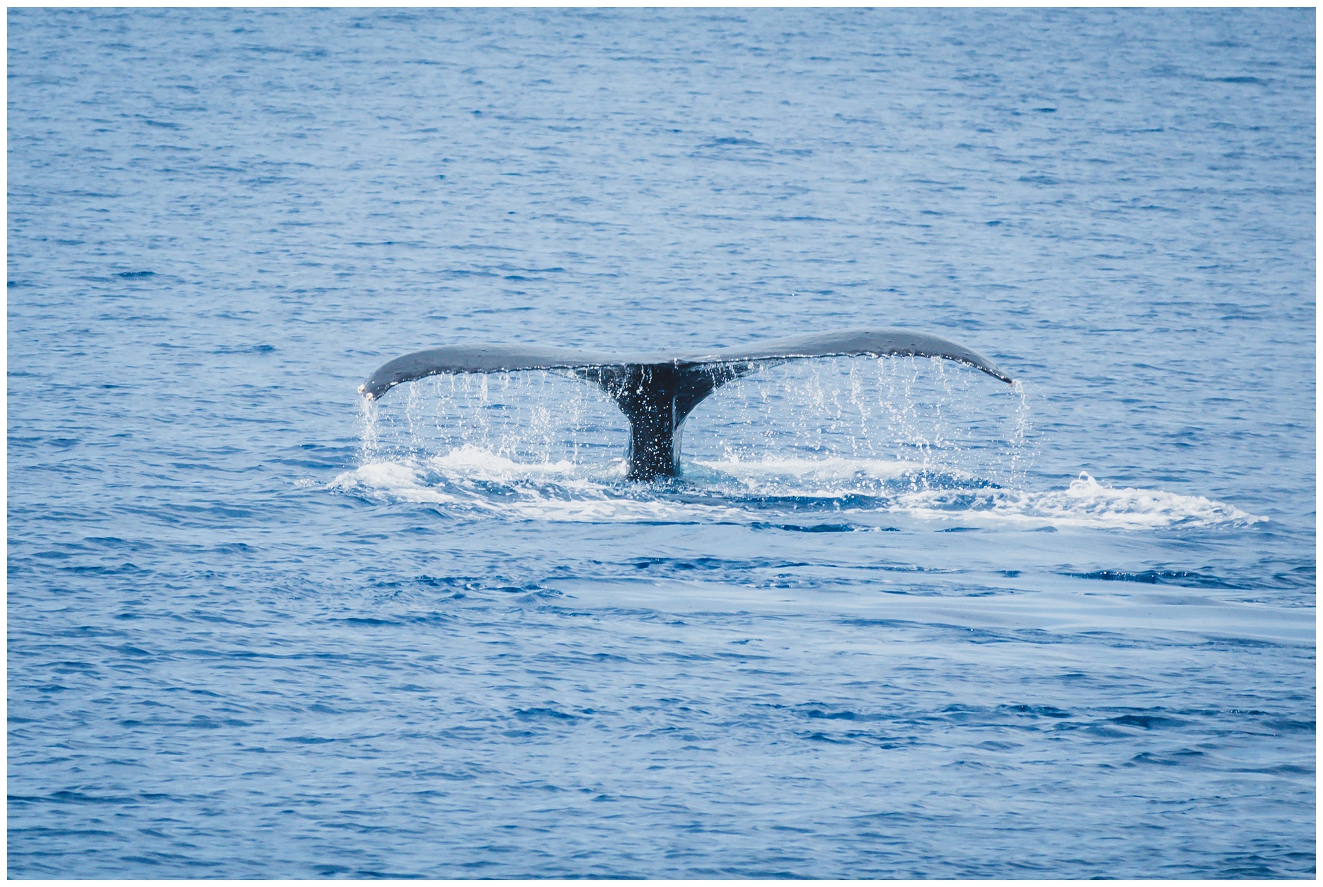 After the snorkeling excursion (with even more whale sightings), we drove to the historic town of Lahaina. Formerly Hawaii’s capital and the center of the global whaling trade, it’s now home to cute shops and art galleries.
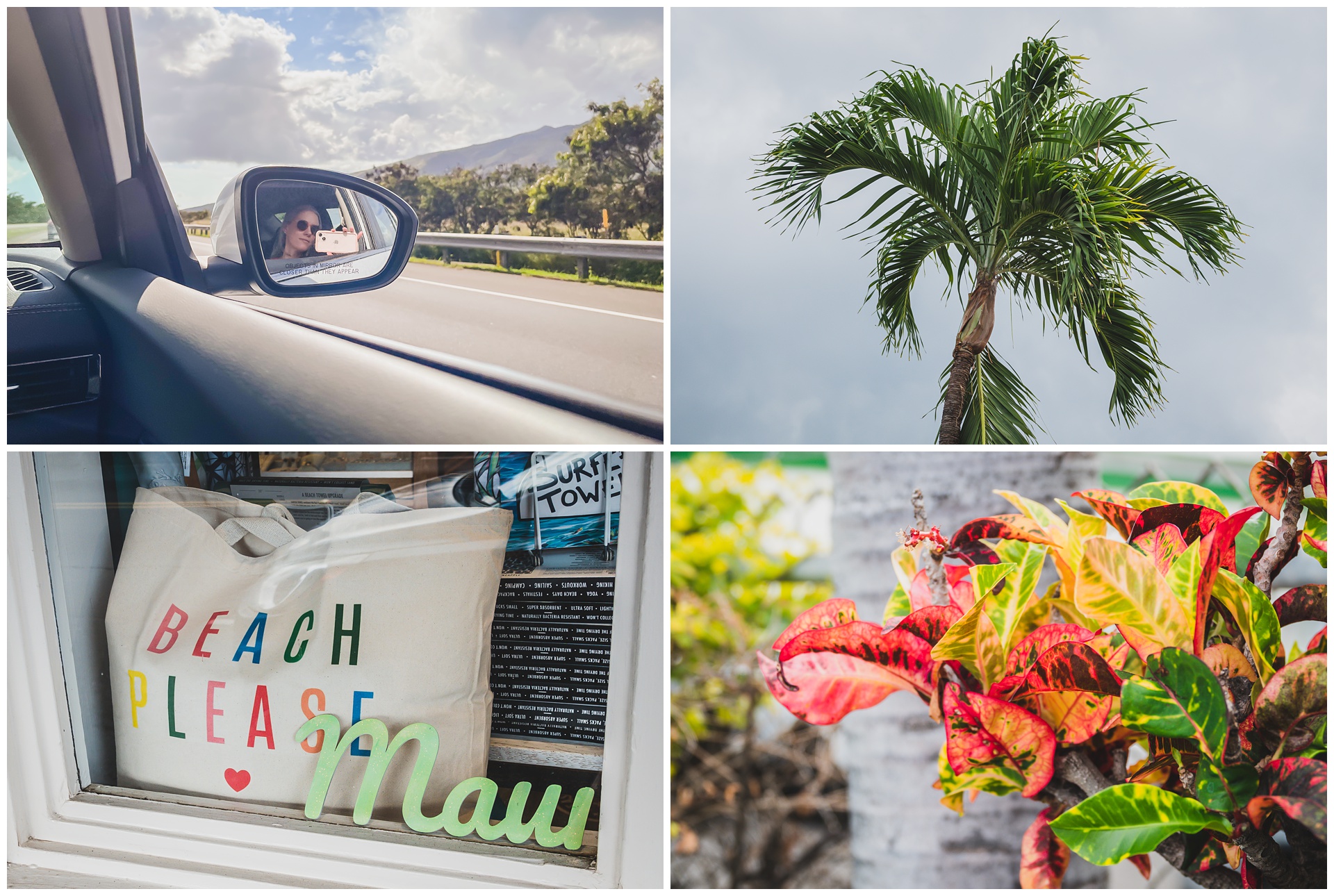
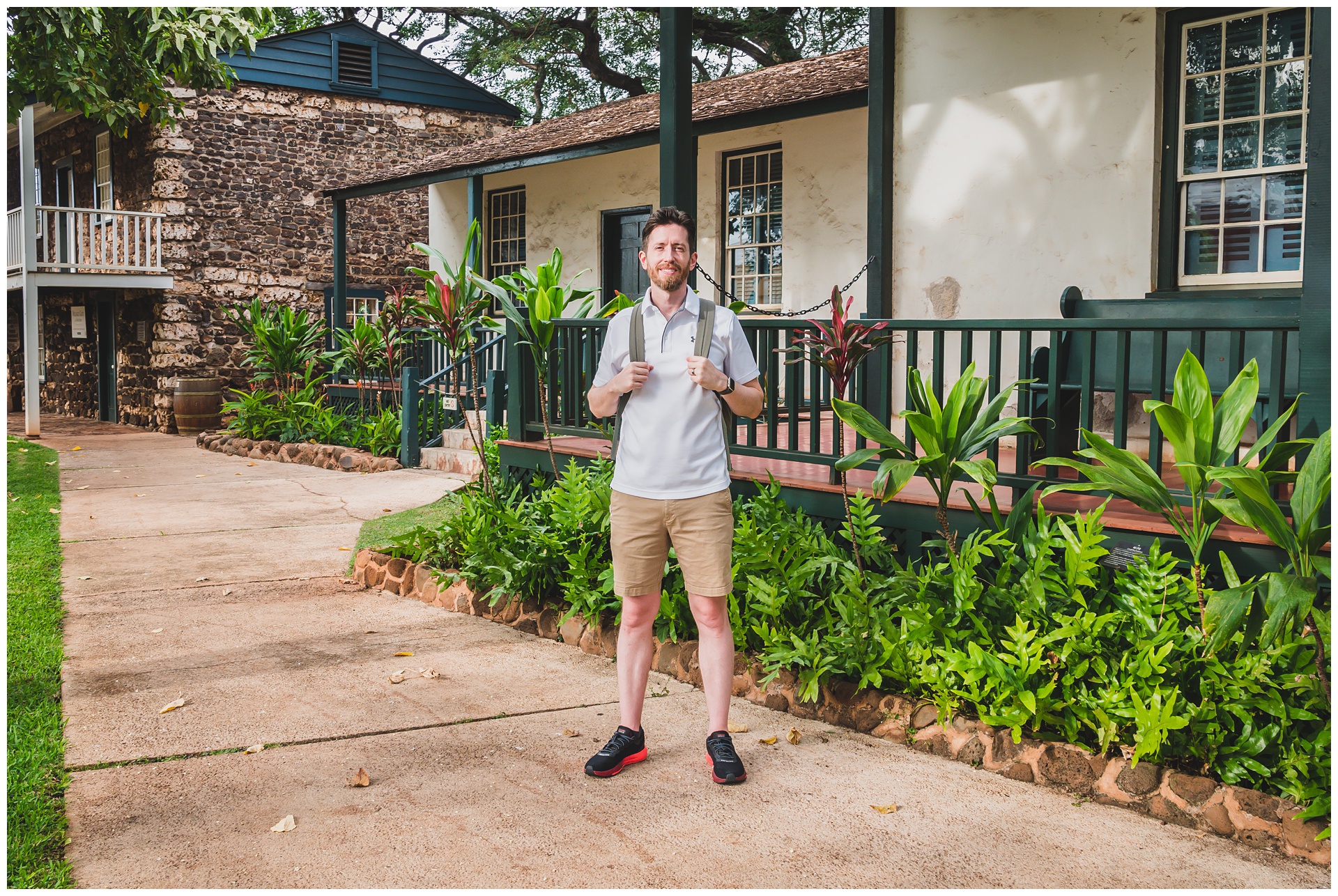
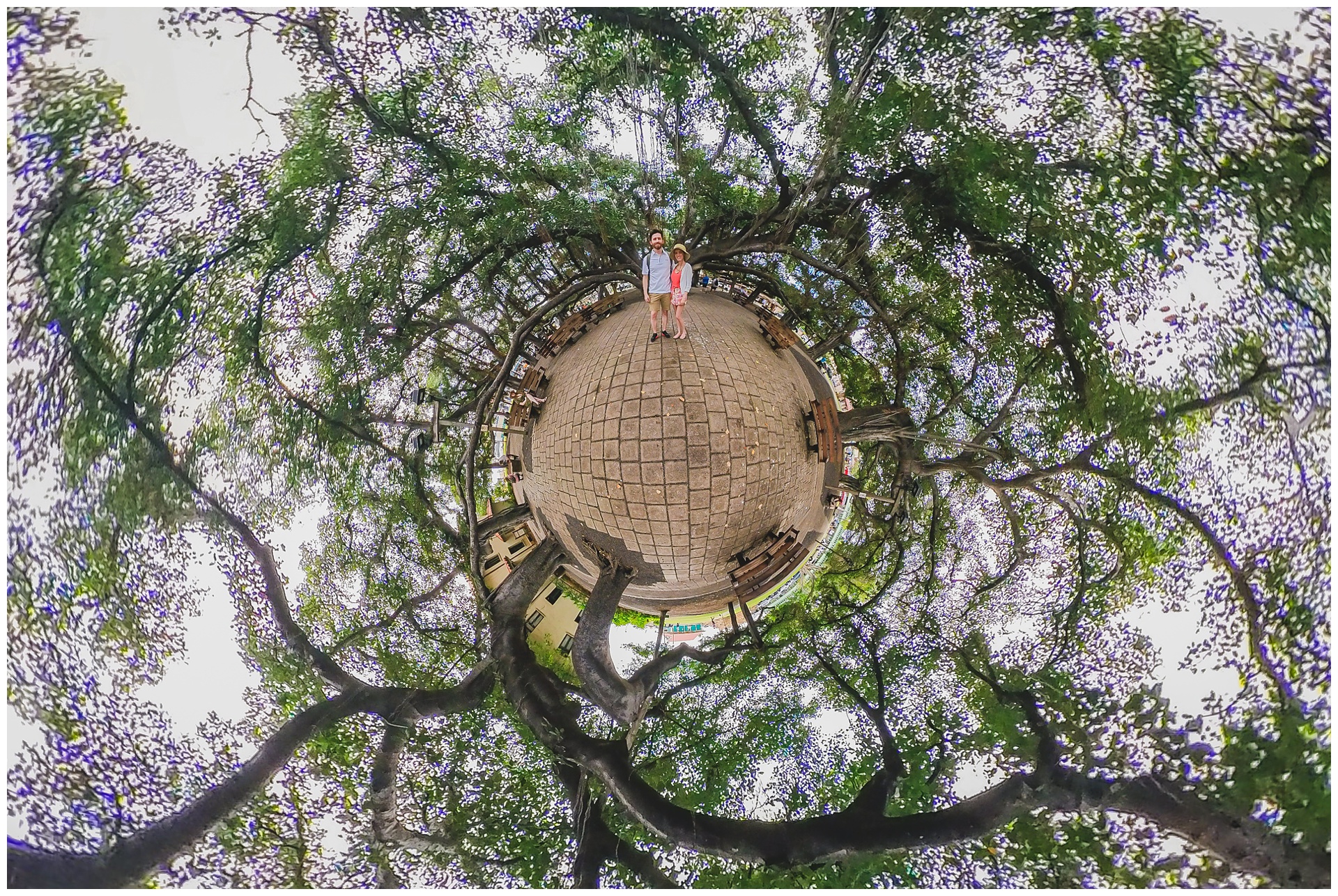
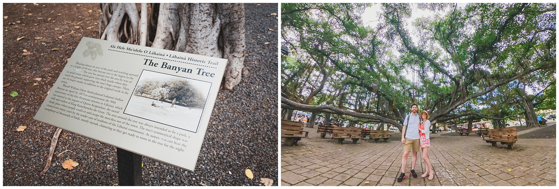 Lahaina also is home to a banyan tree that’s the largest in the United States and one of the most massive in the world. It stands more than 60 feet tall with 16 trunks and spans an entire city block.
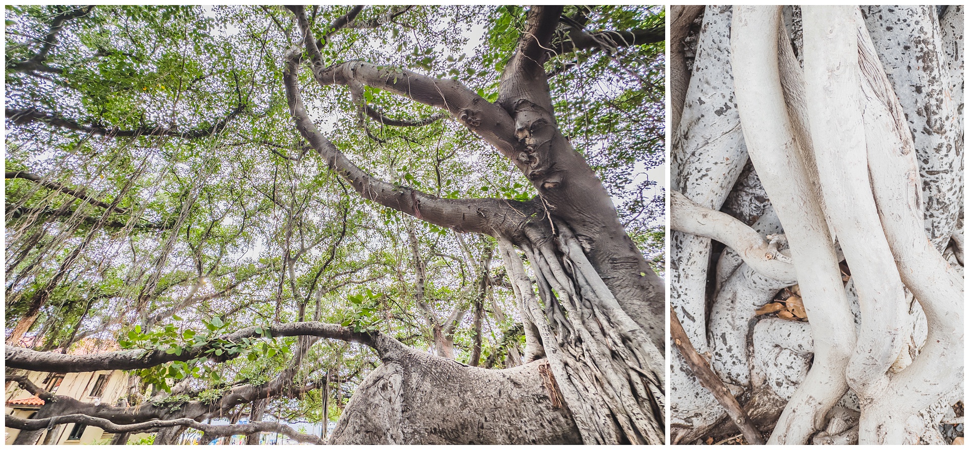
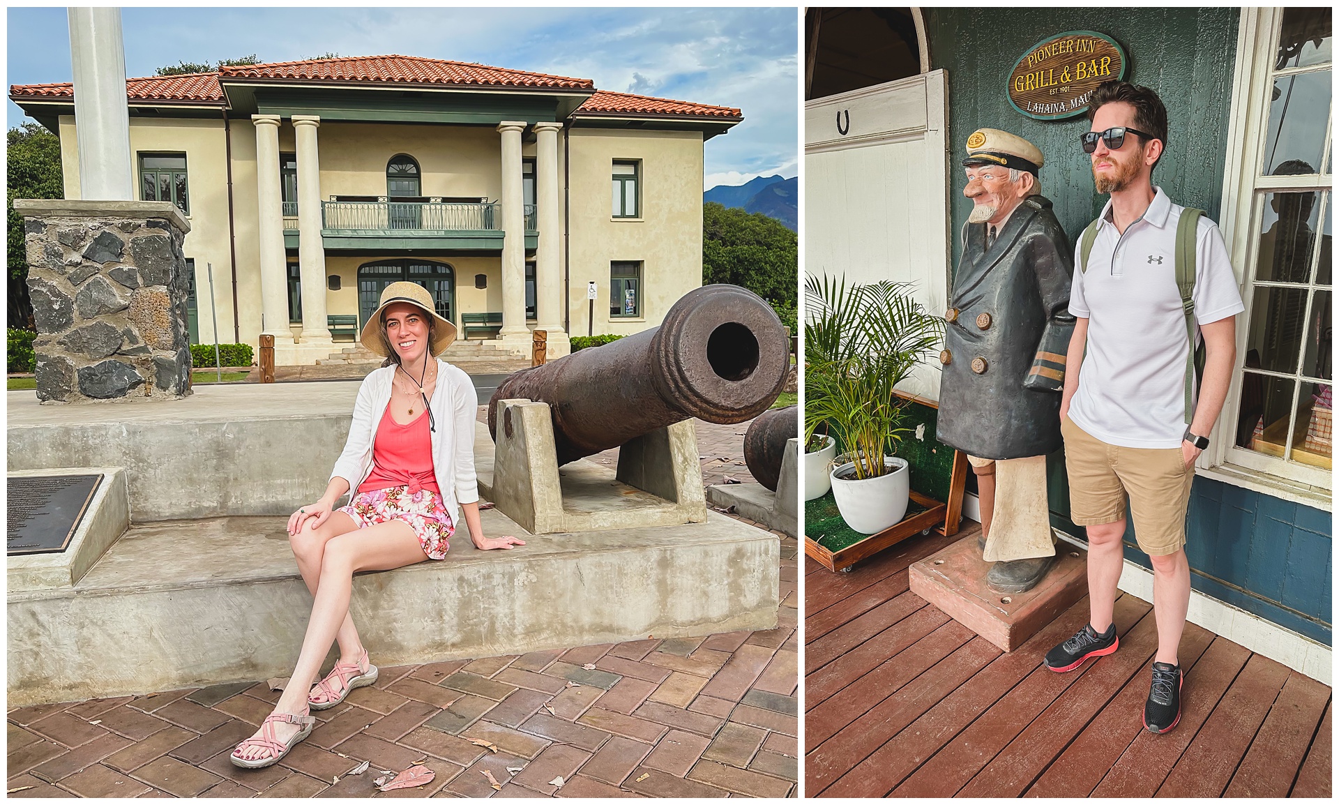
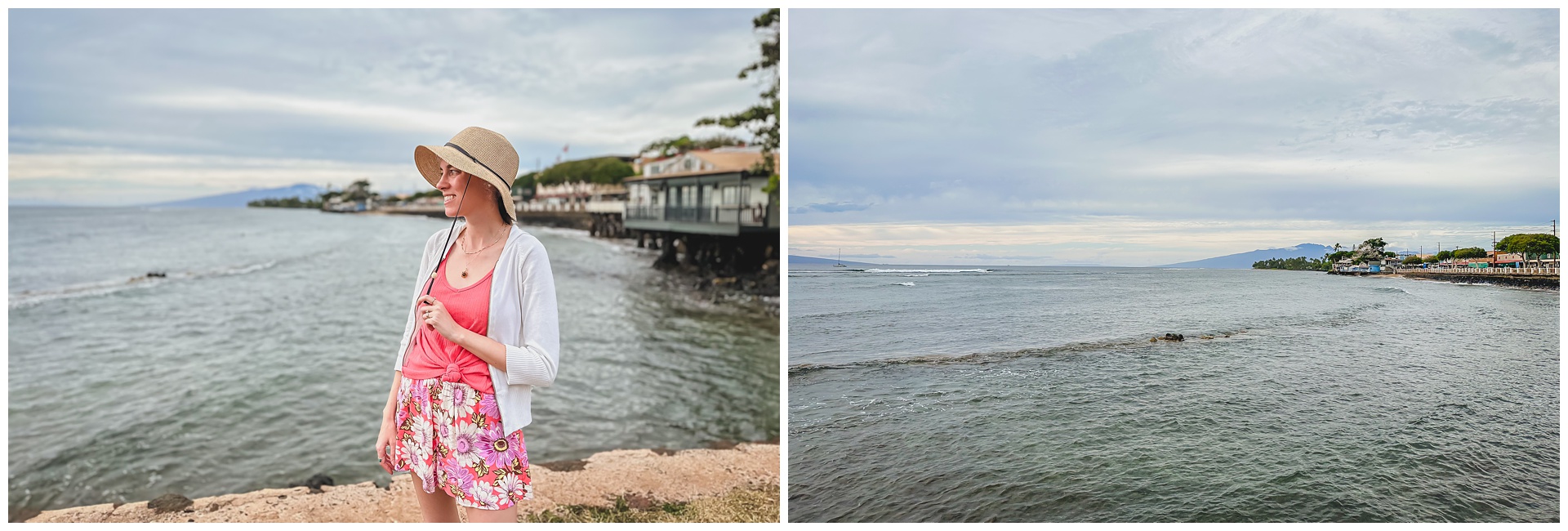
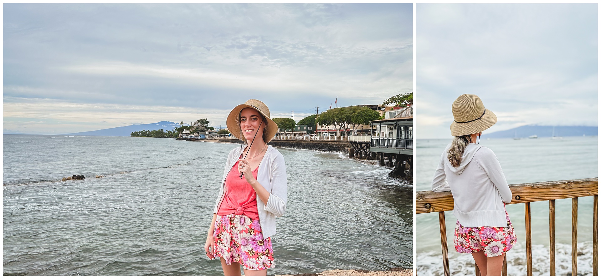
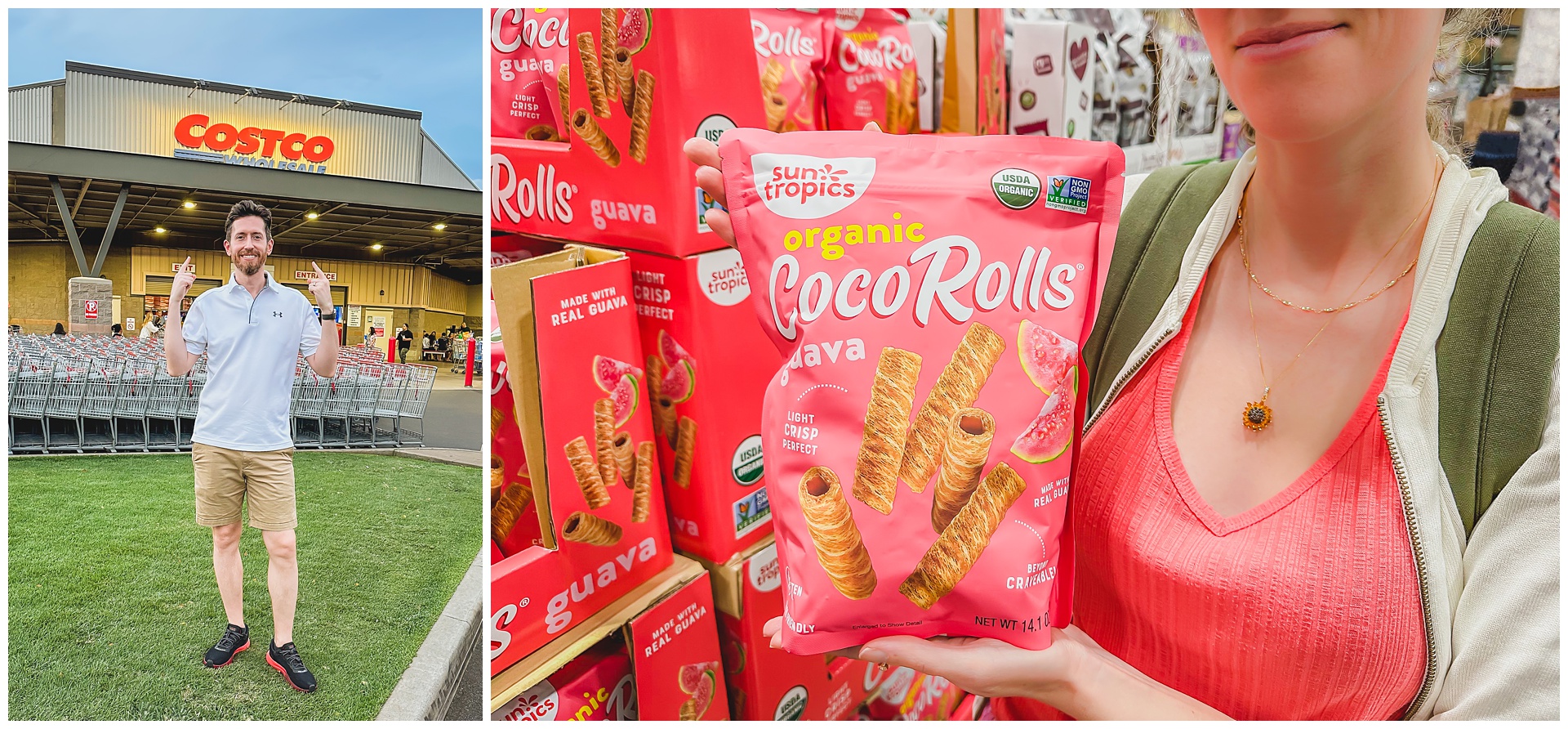
 After leaving Lahaina, we had one more stop to make in Kahului before heading back to our hotel: Costco! We love our home Costco so much we couldn’t pass up the chance to visit a Hawaiian version, and it was fun to find some products there we don’t have here.
day 3 • 01.26.23 • maui
Haleakalā National Park (Summit District)
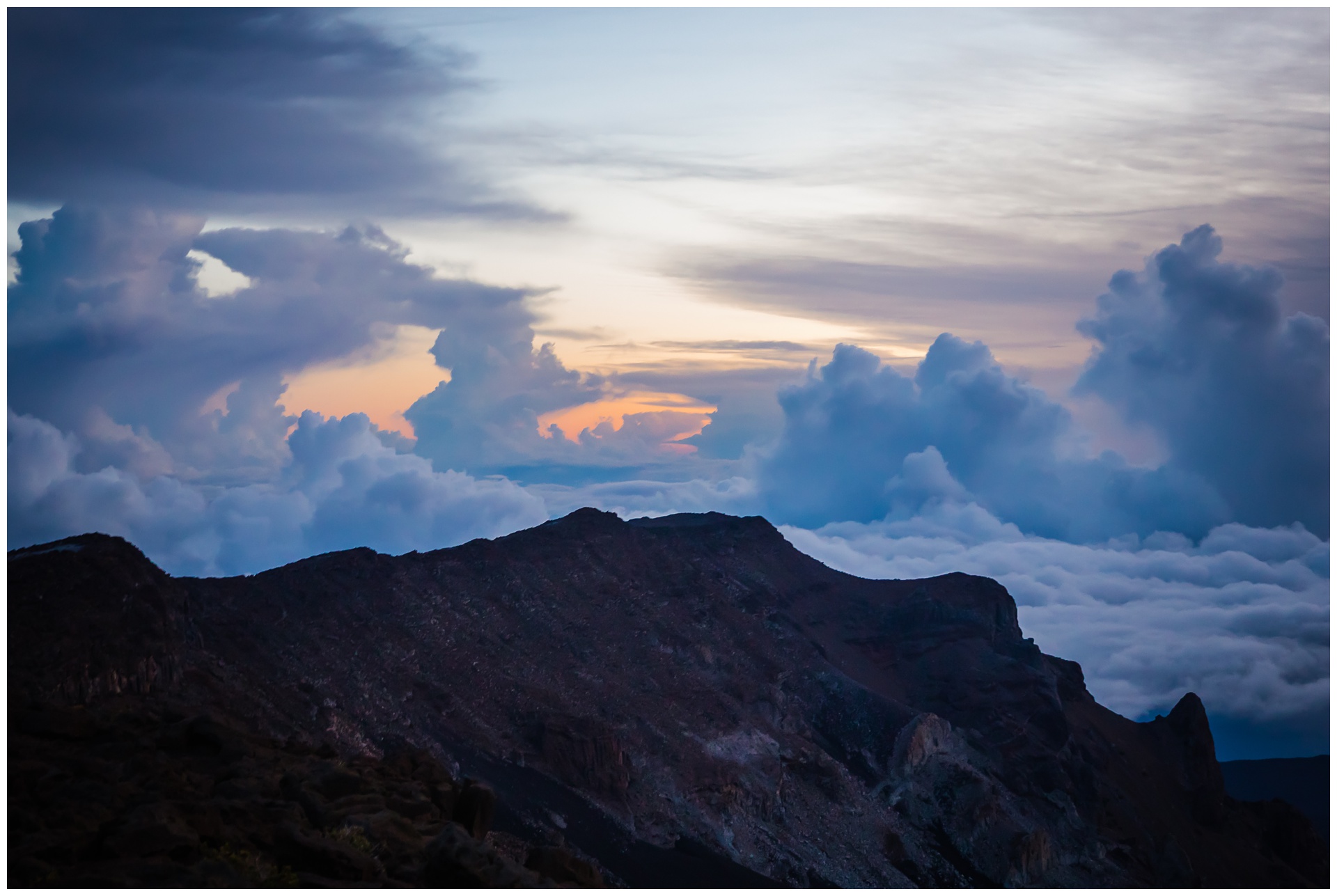
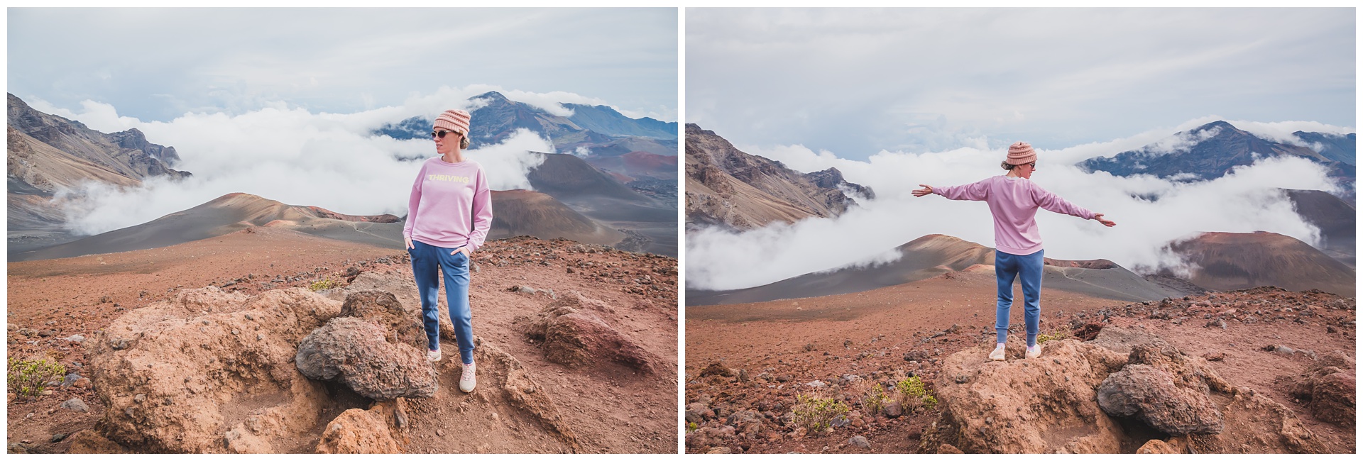
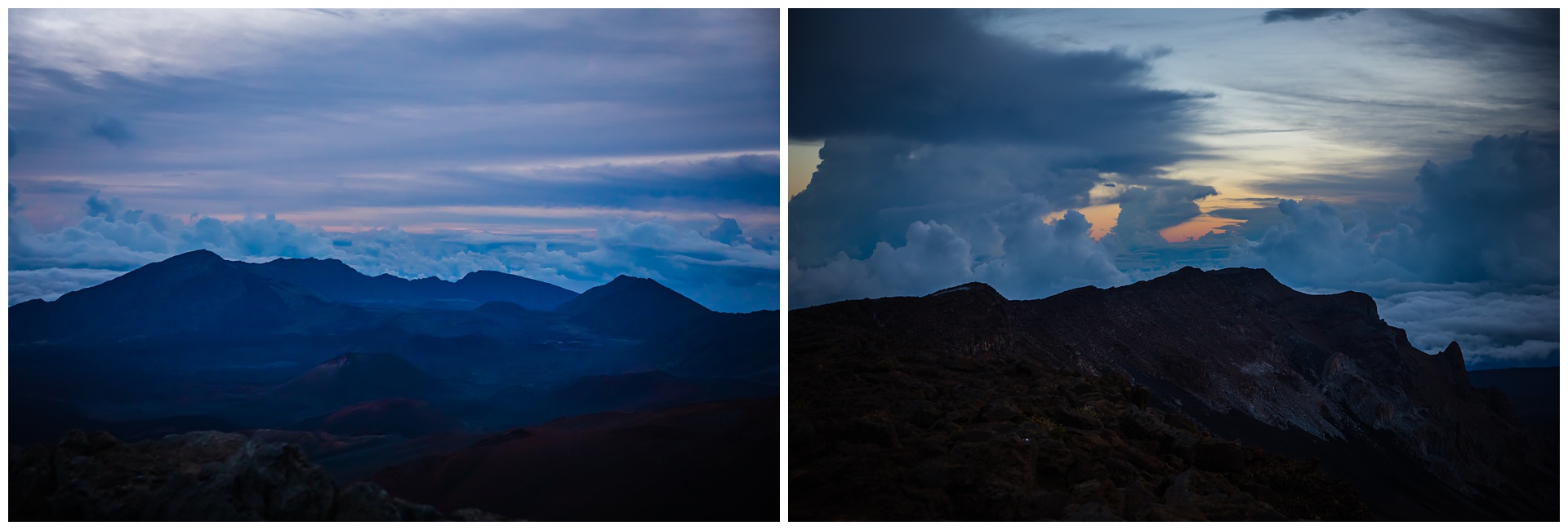 This was another super early morning, as we had reservations to see sunrise from on top of Haleakalā – the massive shield volcano that makes up more than 75 percent of the island of Maui. With the trip to the summit from our hotel taking more than an hour, we had a long and winding drive in the dark before some color and light started coming up over the clouds. Although we didn’t have the clearest day or most vibrant sky, it was still pretty stunning:
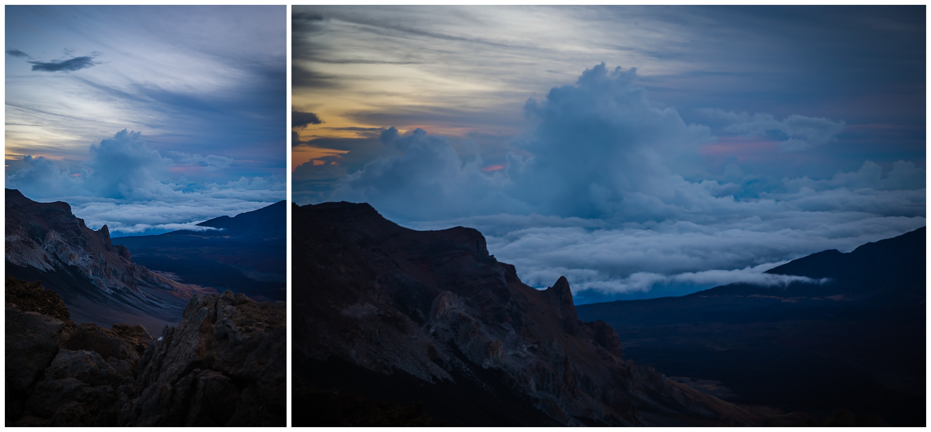
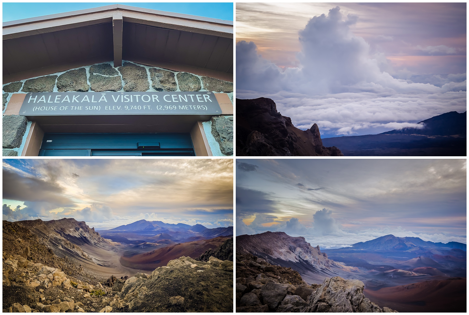
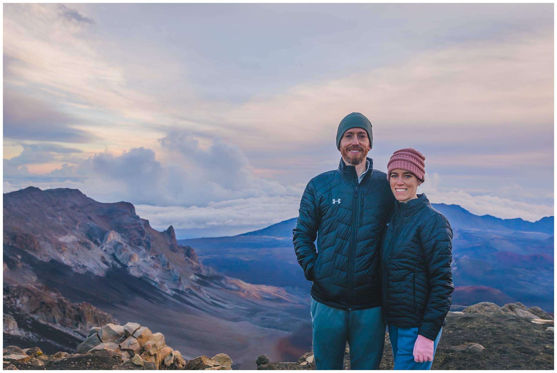
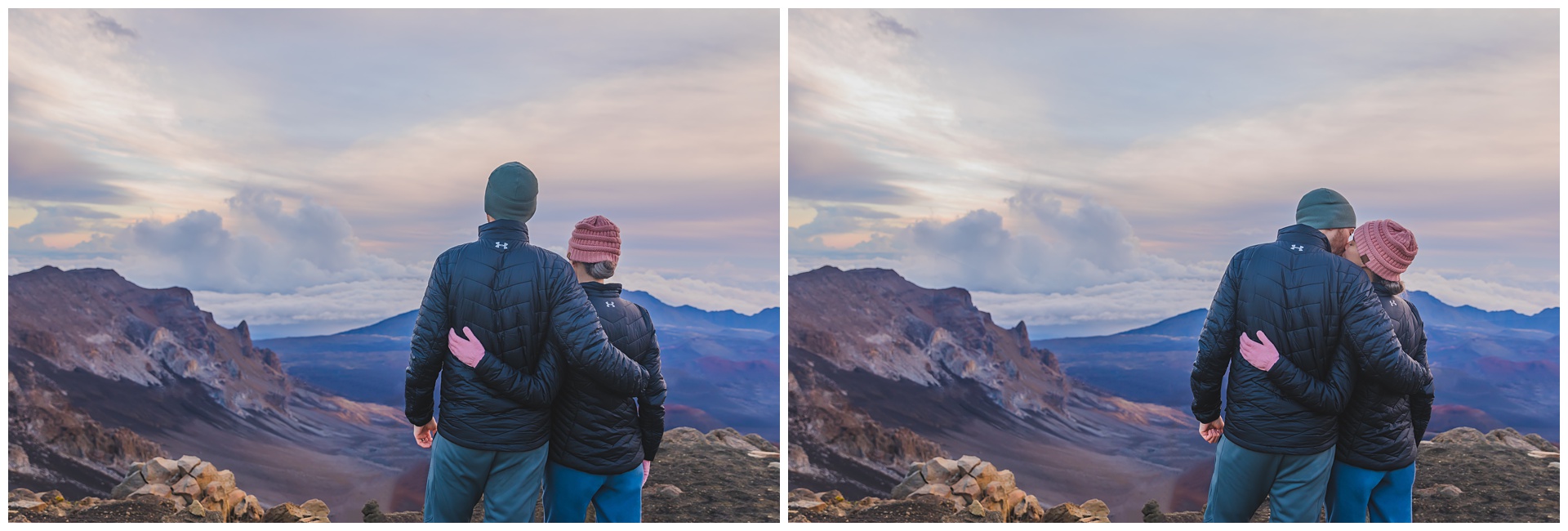
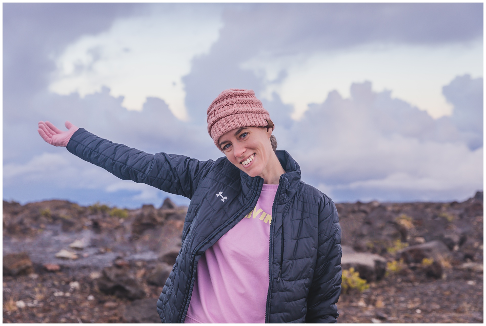
 About 30 minutes after sunrise, the temperature had finally crept a few degrees above freezing! We were prepared for the cold at this 10,000-foot summit but saw several people dressed for warm Hawaii weather, wrapped in towels or blankets instead of coats.
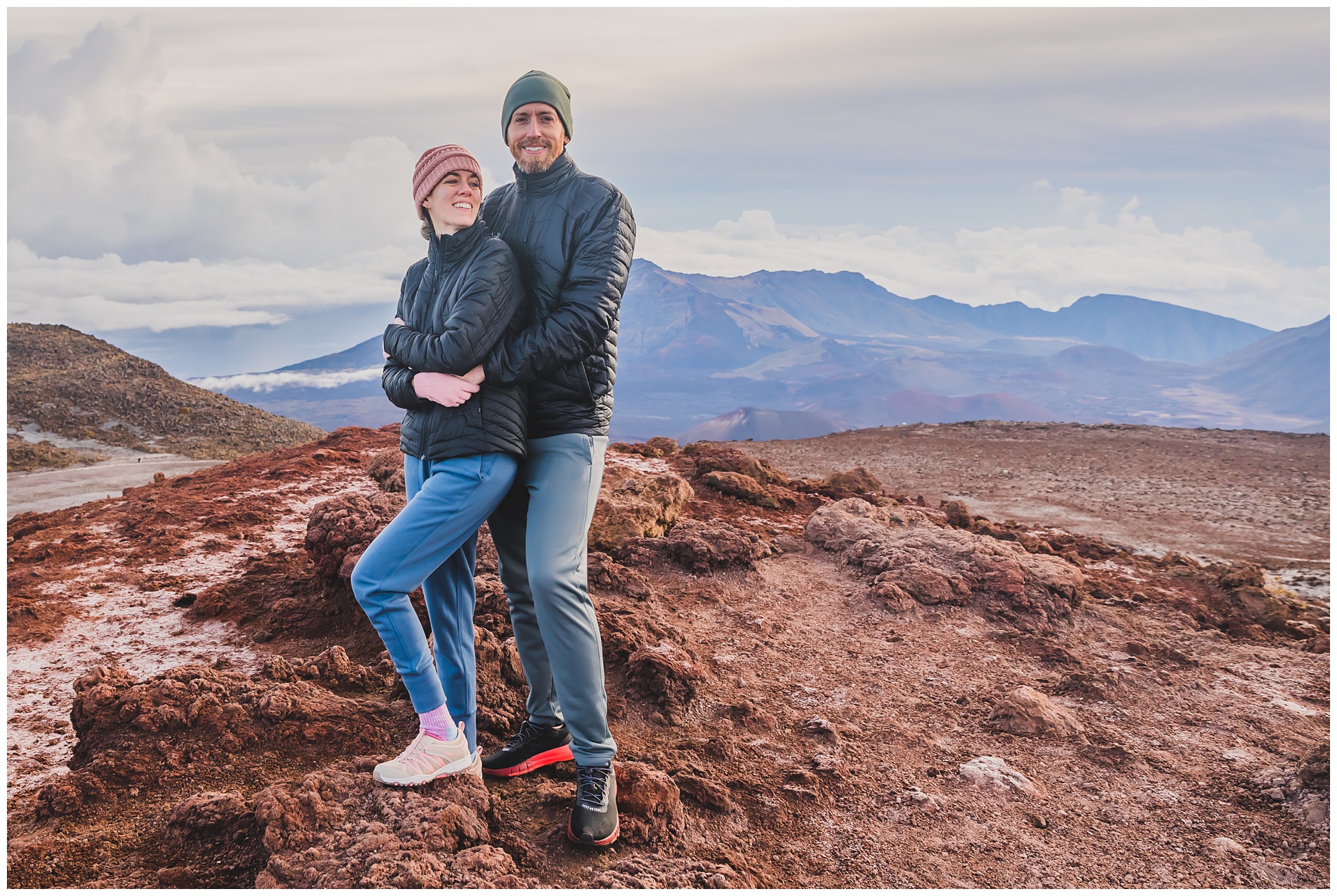
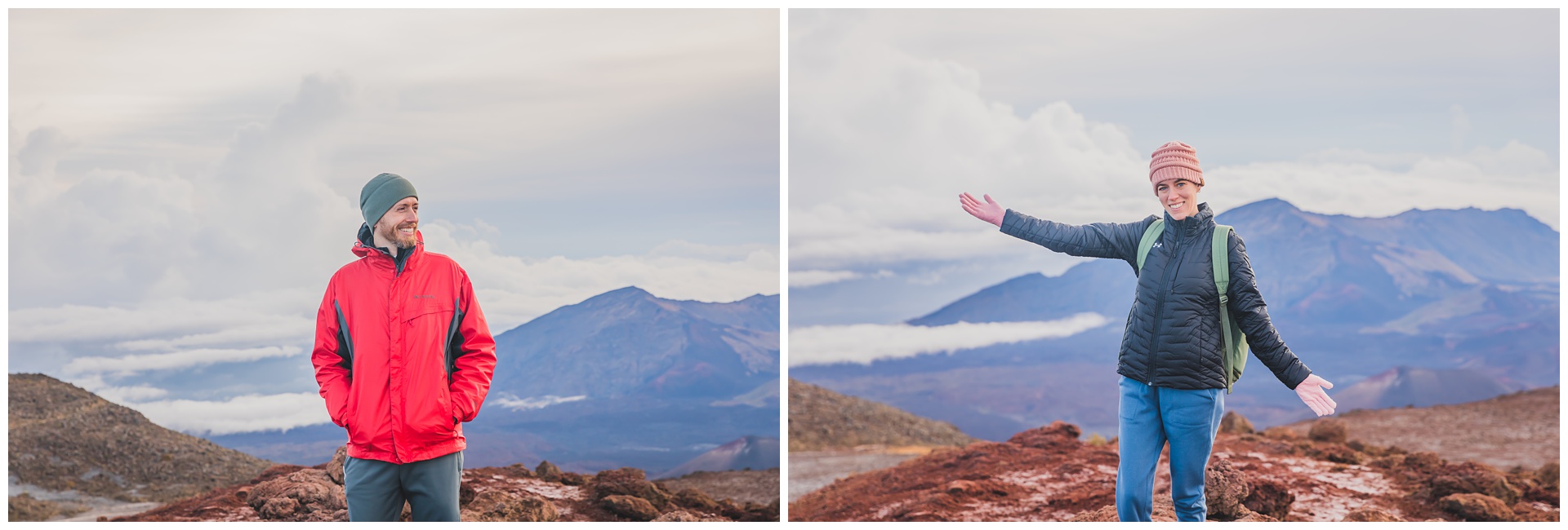
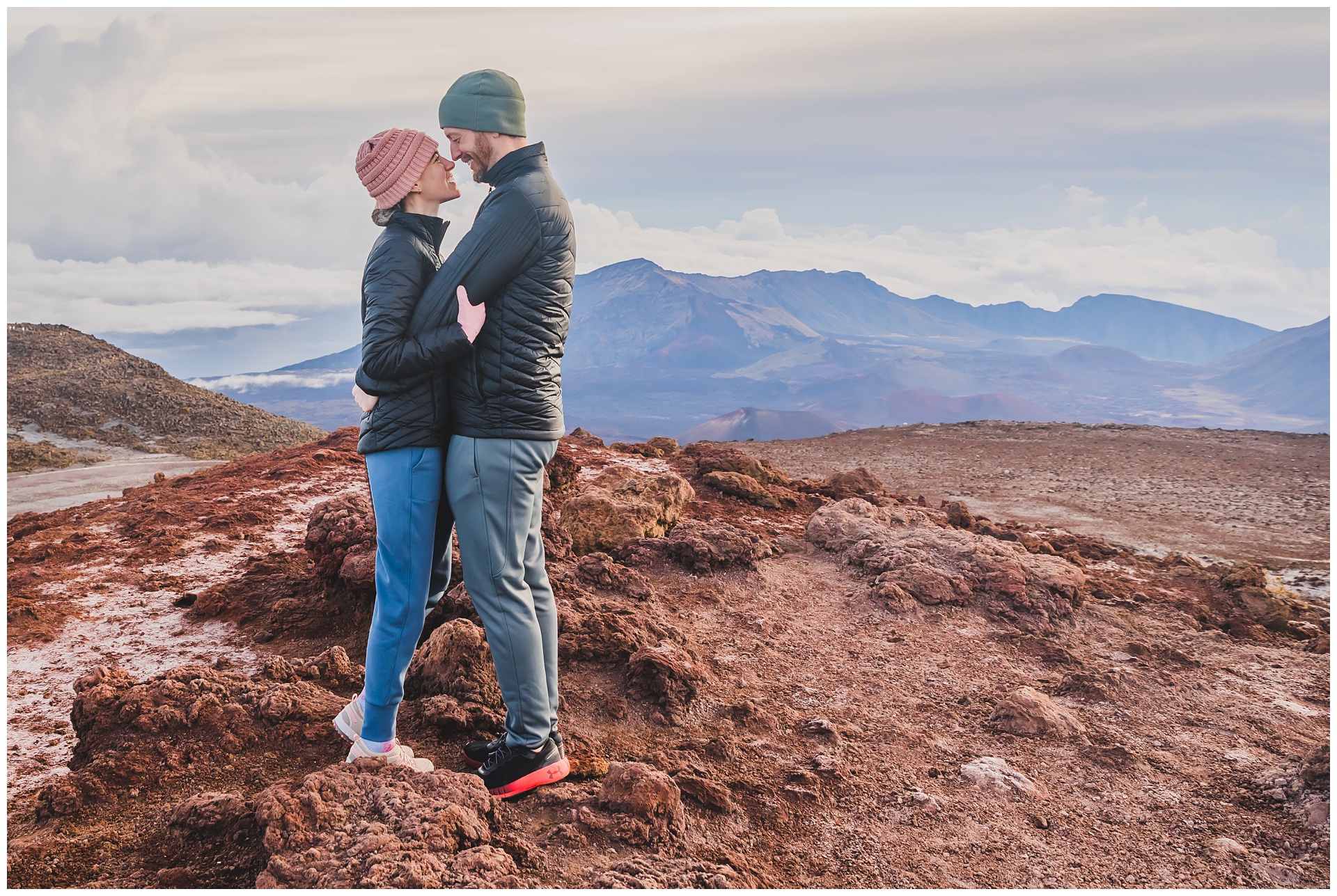
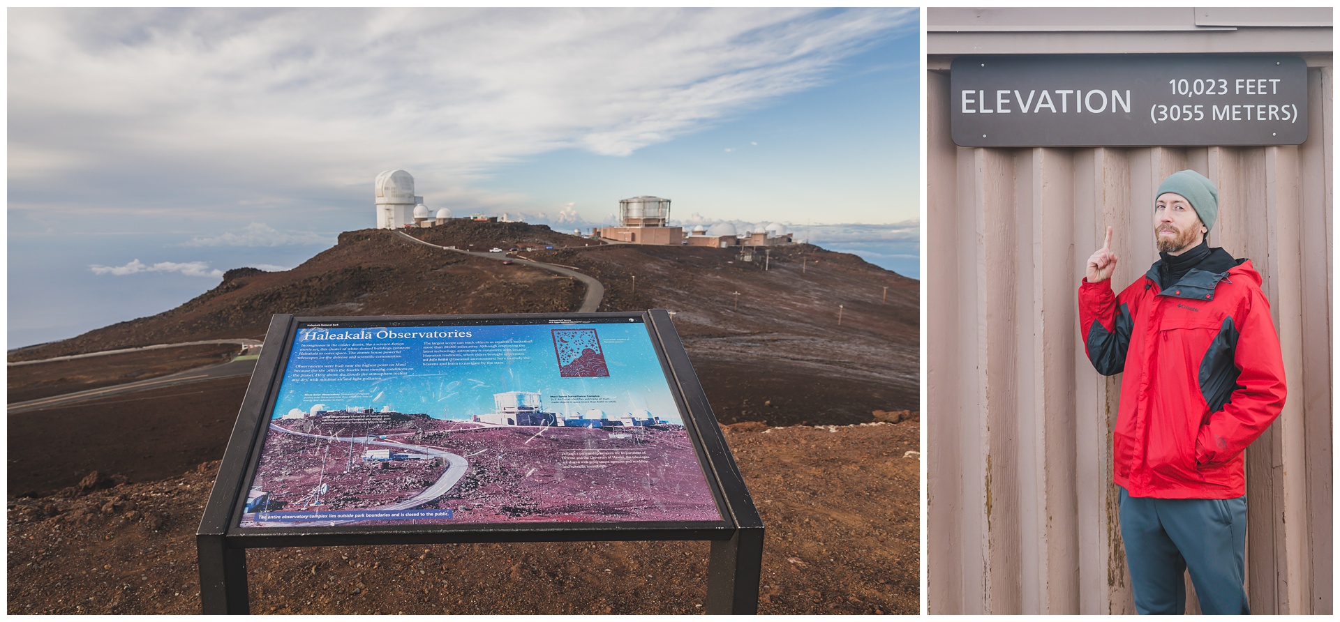
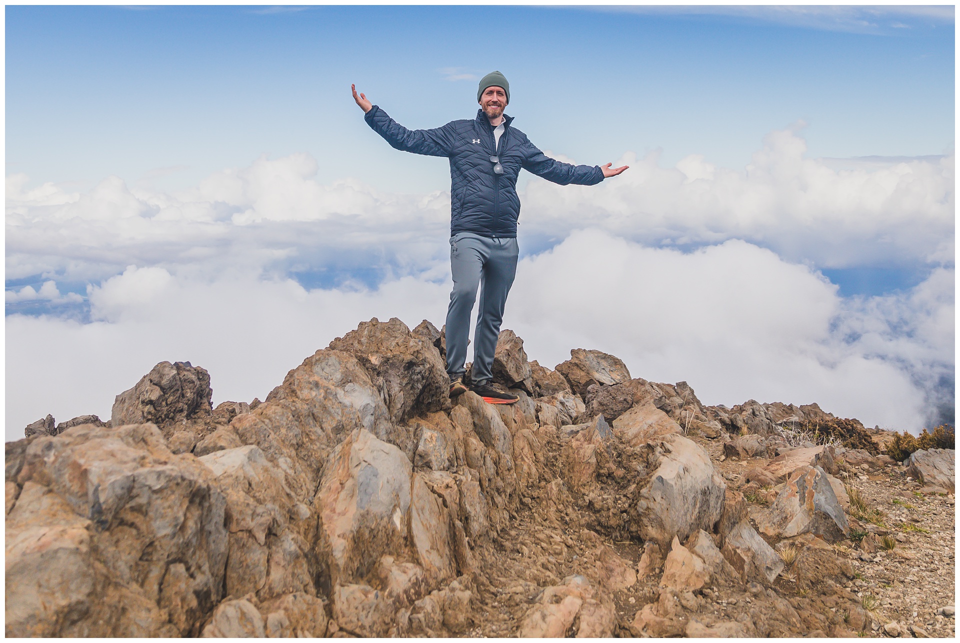
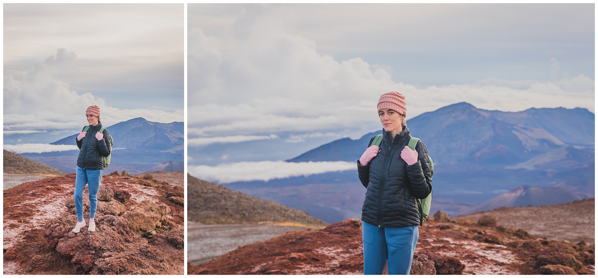 The highest point on Haleakalā is Puʻu ʻUlaʻula (Red Hill), at 10,023 feet. We wandered around there for a while before starting a hike into the volcano’s crater.

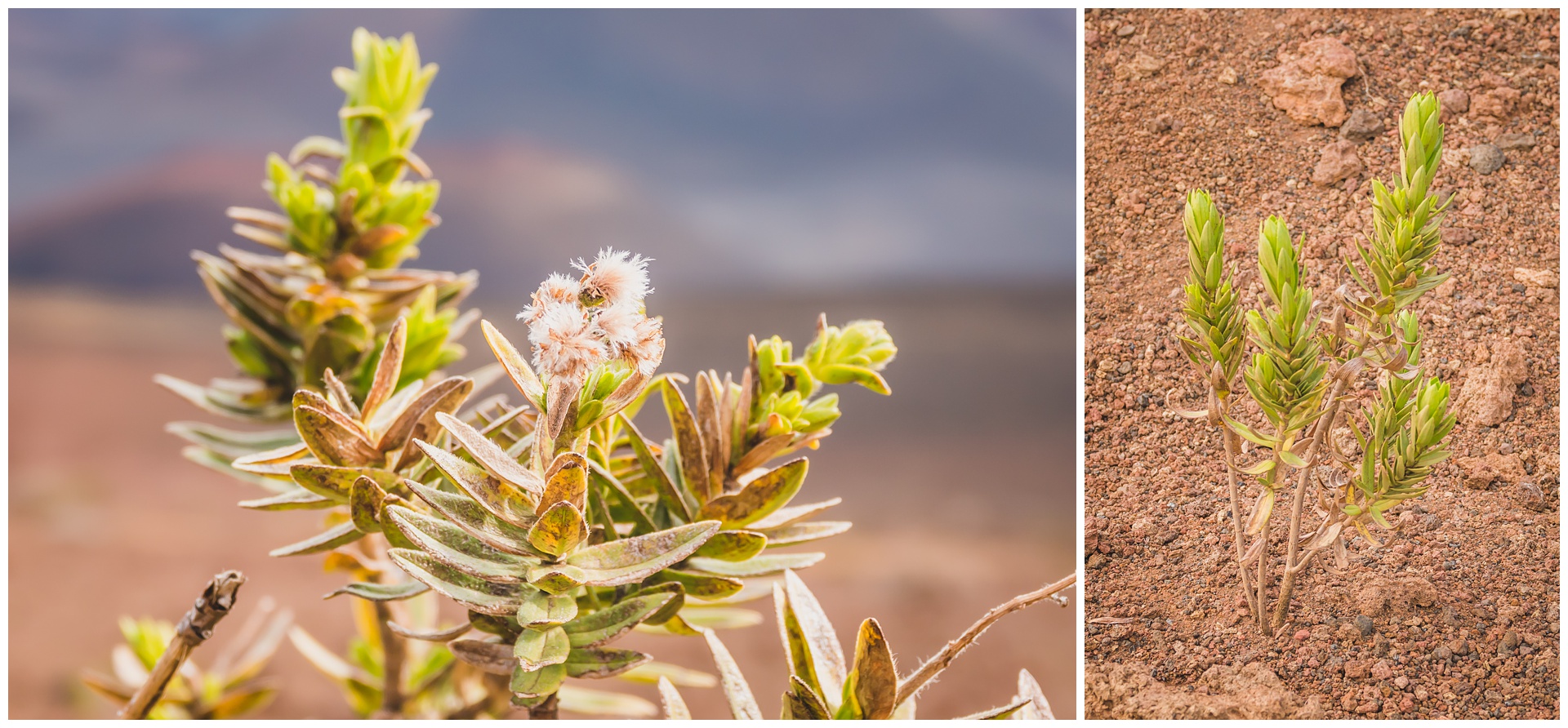
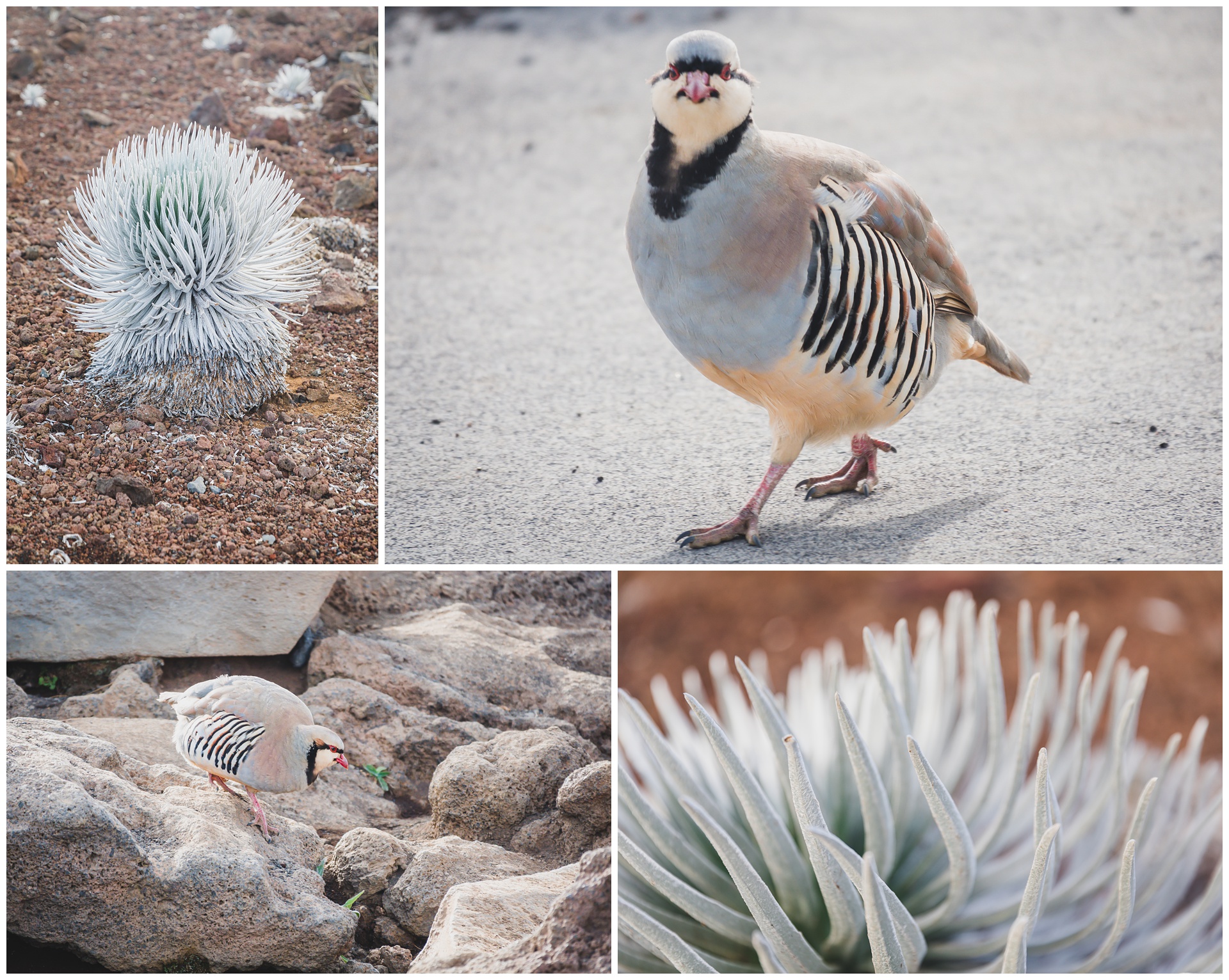 The plants above are Haleakalā silverswords, which grow nowhere else on Earth. The bird is a chukar, which is common at higher elevations in the park.
 Haleakalā is classified as a dormant volcano, thought to have erupted at least 10 times in the past thousand years. The U.S. Geological Survey estimates its last eruption to have been sometime between 1480 and 1600 (although a sign in the park dates is as late as 1790), and another eruption is predicted within the next 500 years.
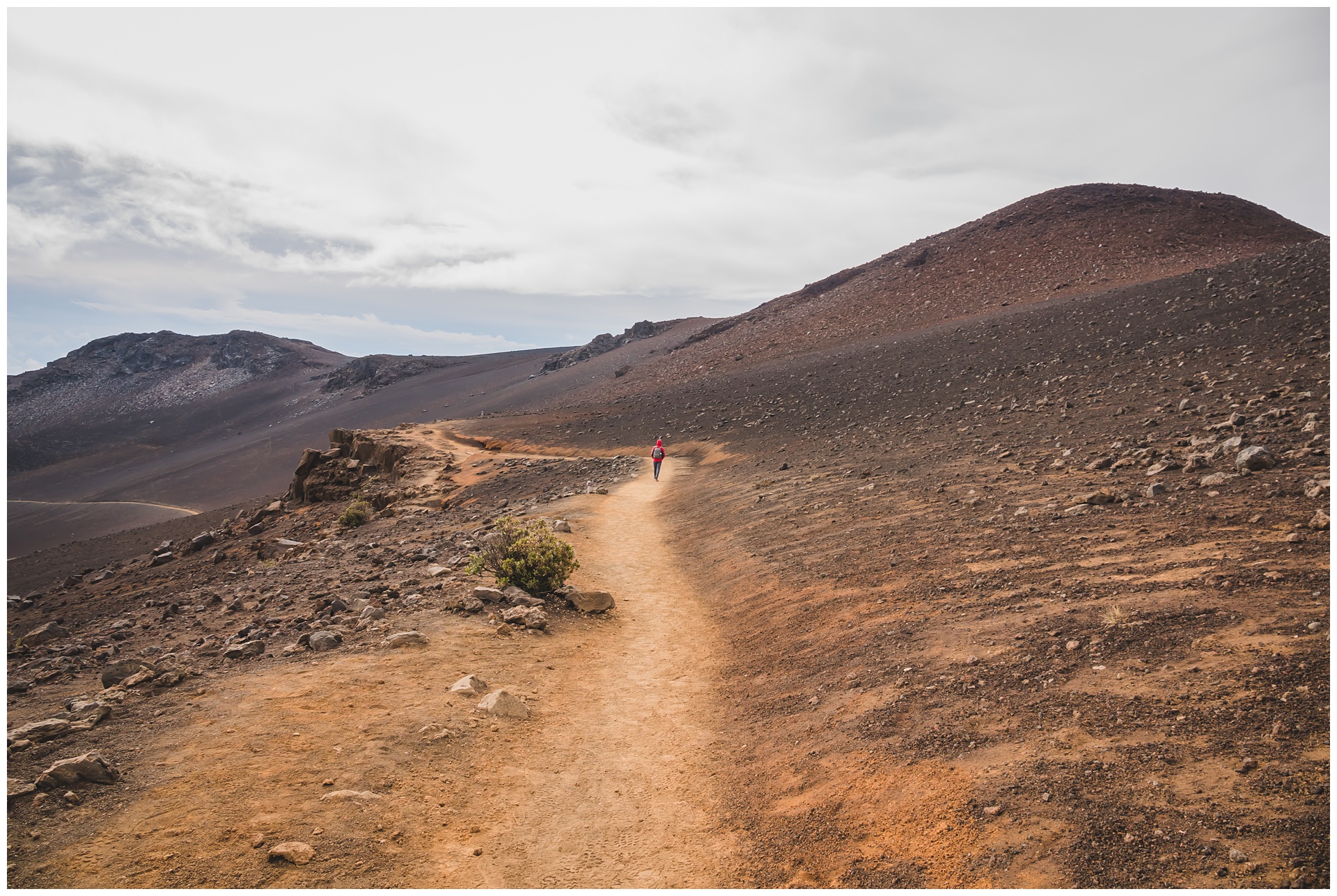
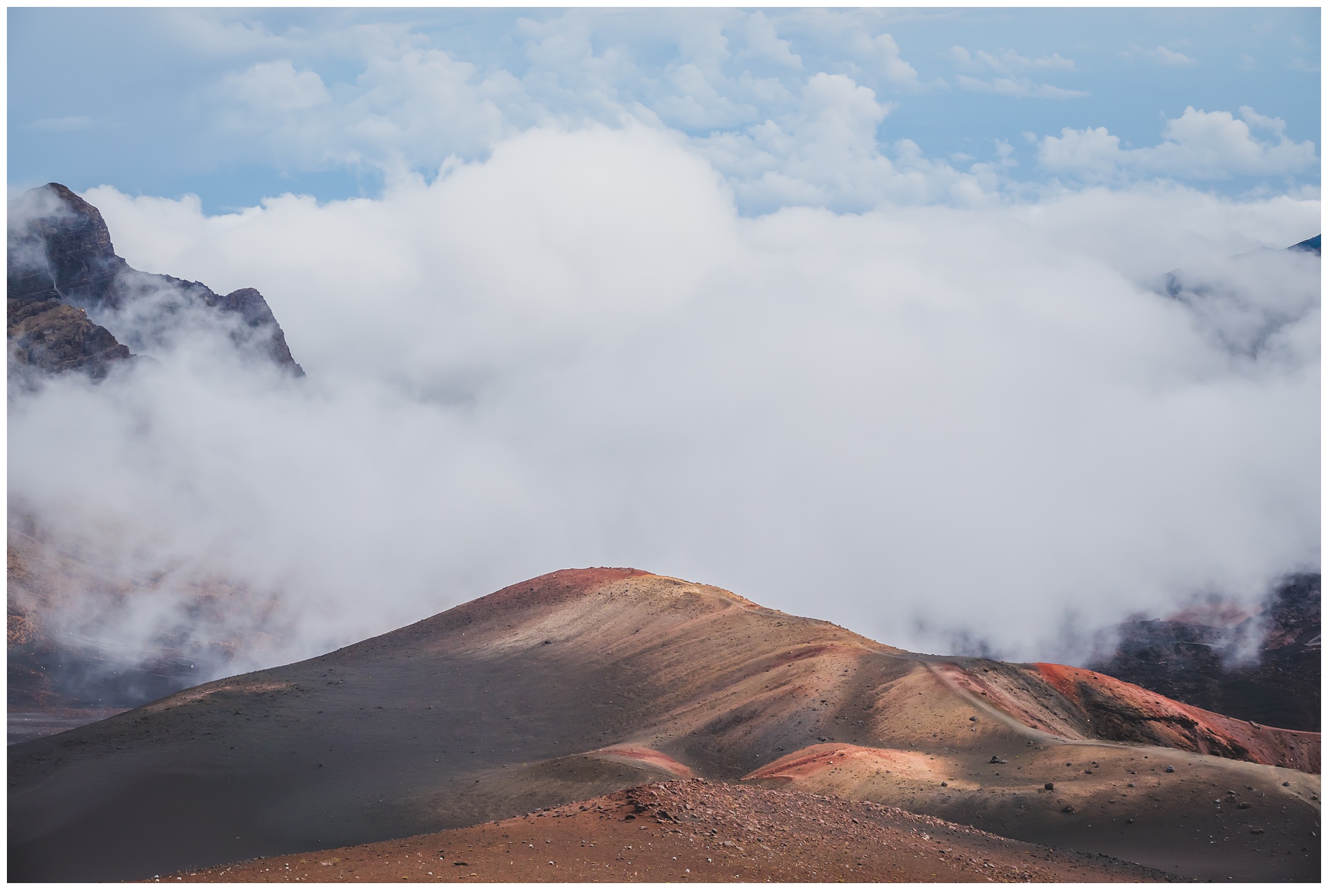
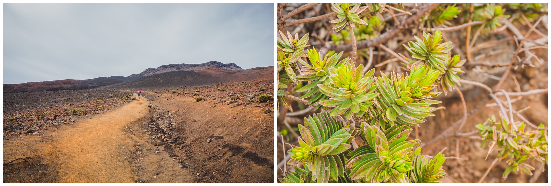
Lava-flow hazards in Hawai’i are rated on a scale of one through nine, with one being the highest hazard and nine being the lowest. Haleakalā is a three – which was higher than I expected given that it’s not classified as an active volcano (one that’s erupted recently). But we still took our chances and started down the Keonehe’ehe’e (Sliding Sands) Trail, which descends several miles into the crater’s otherworldly landscape.
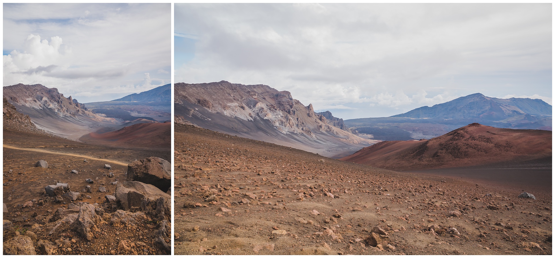
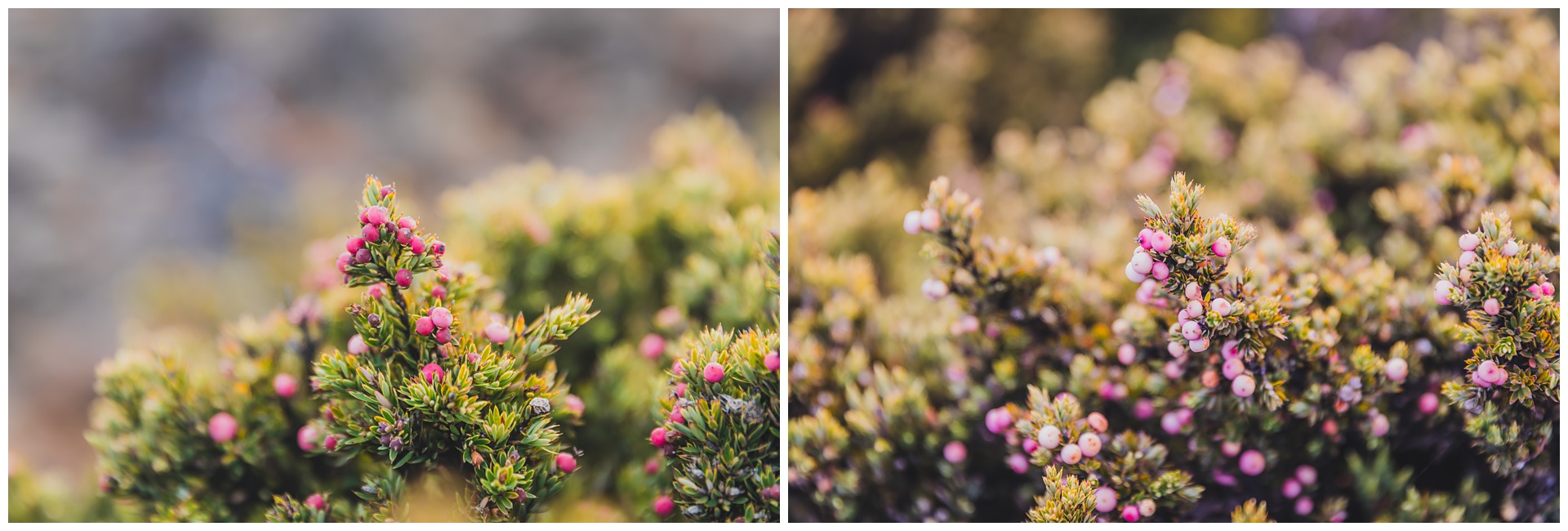
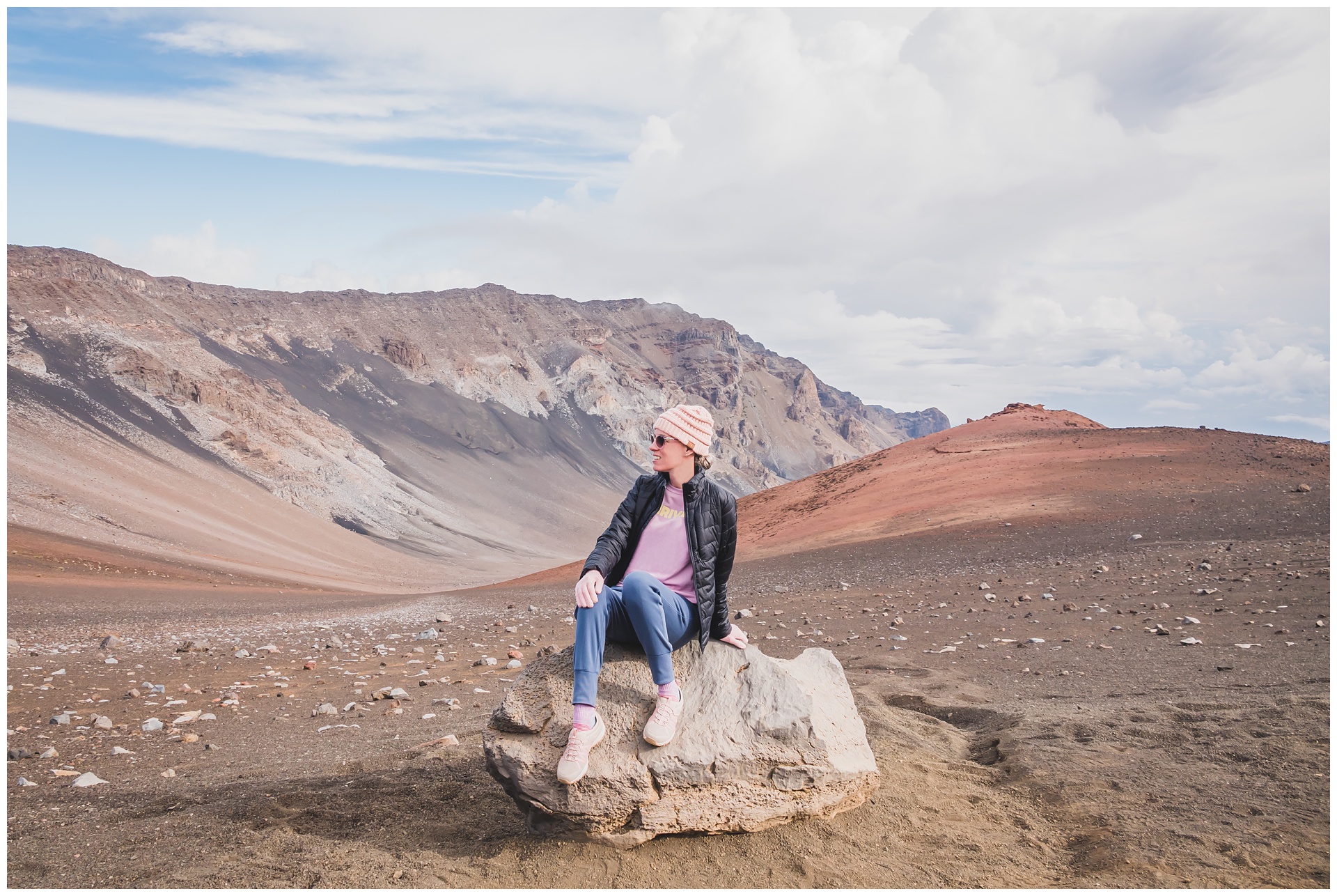 It really was something else to be surrounded by clouds and colorful cinder cones. I also found it amazing to see little specimens of plant life growing from the volcanic rock:
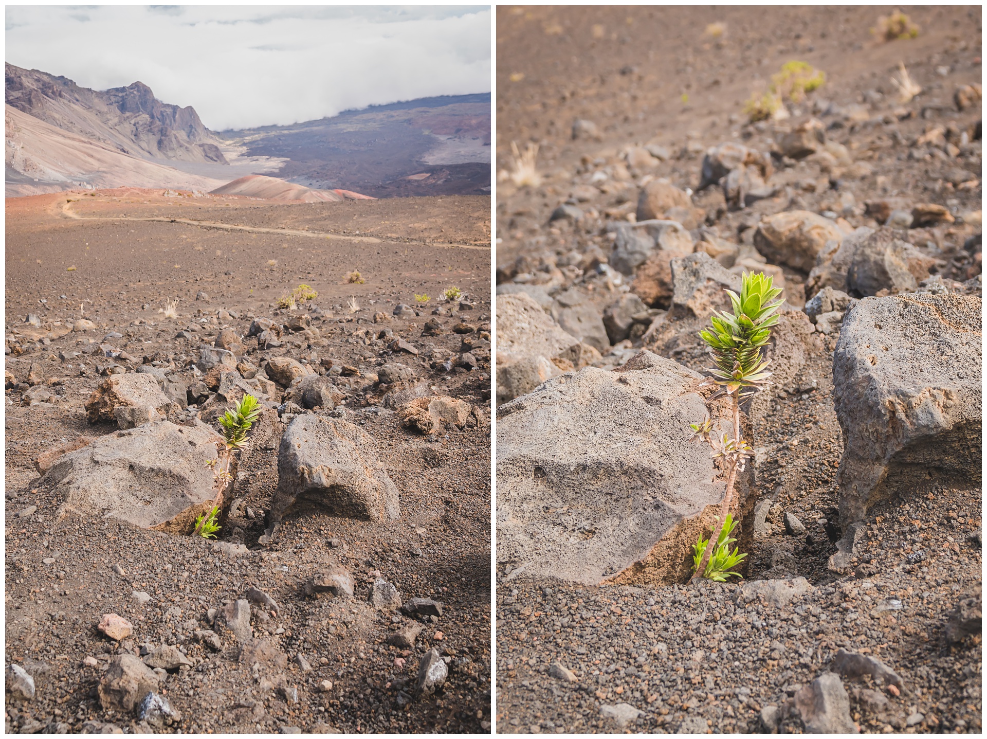
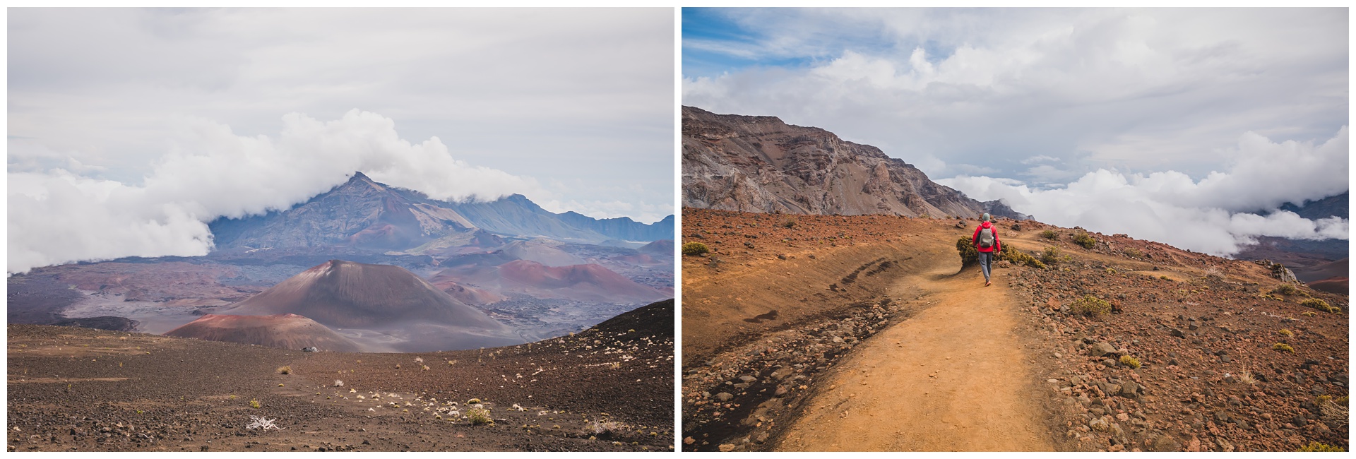
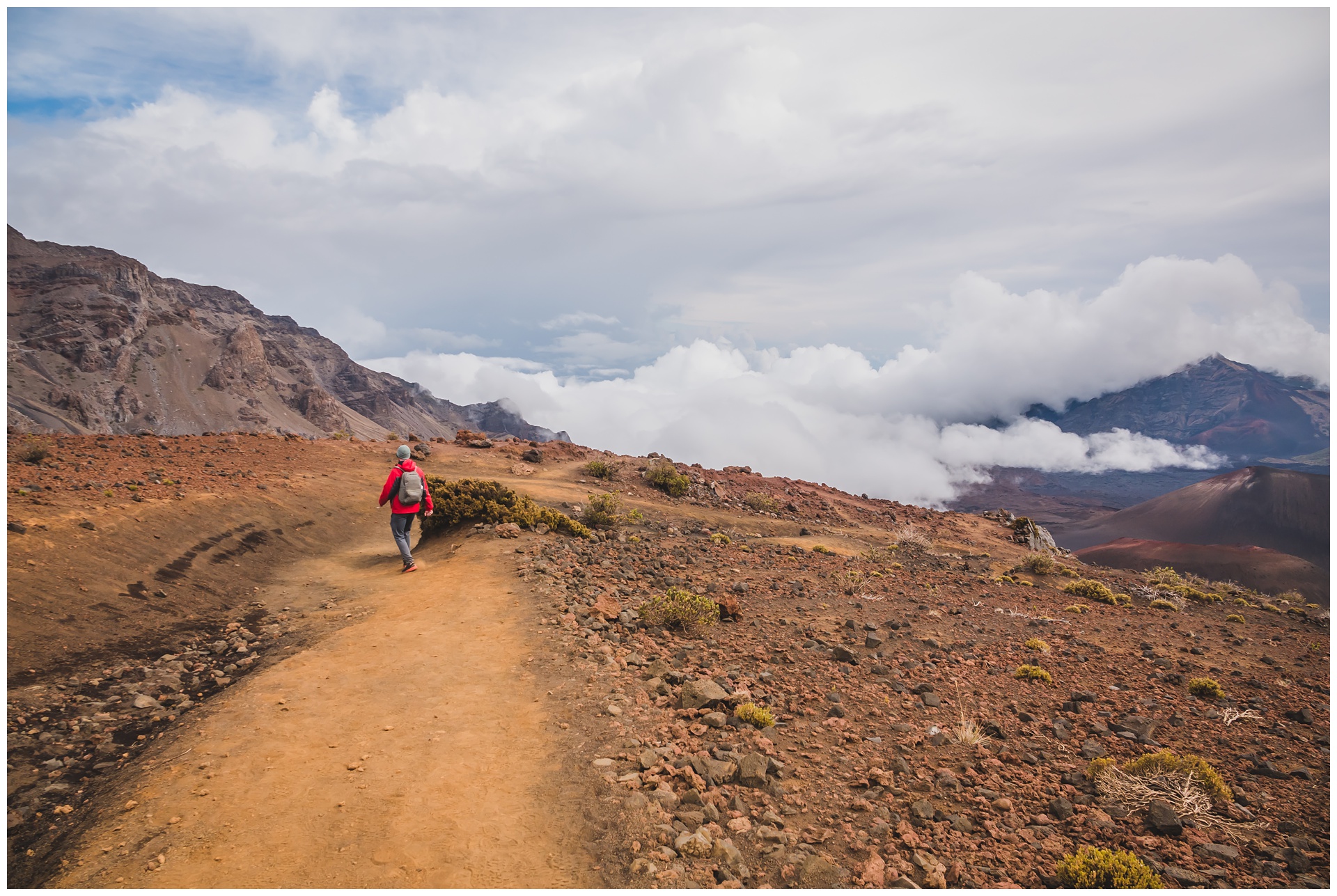
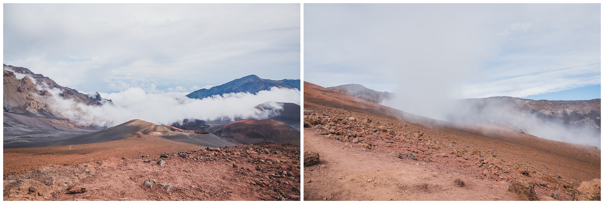
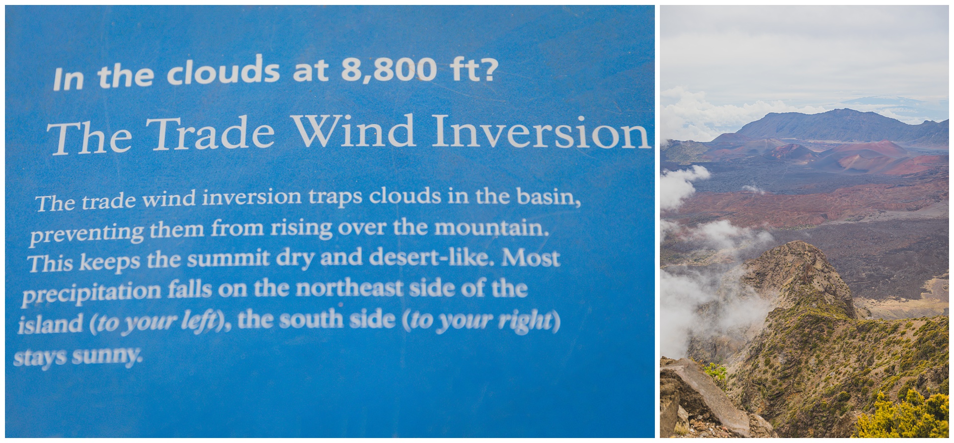
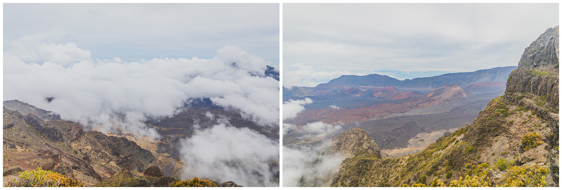
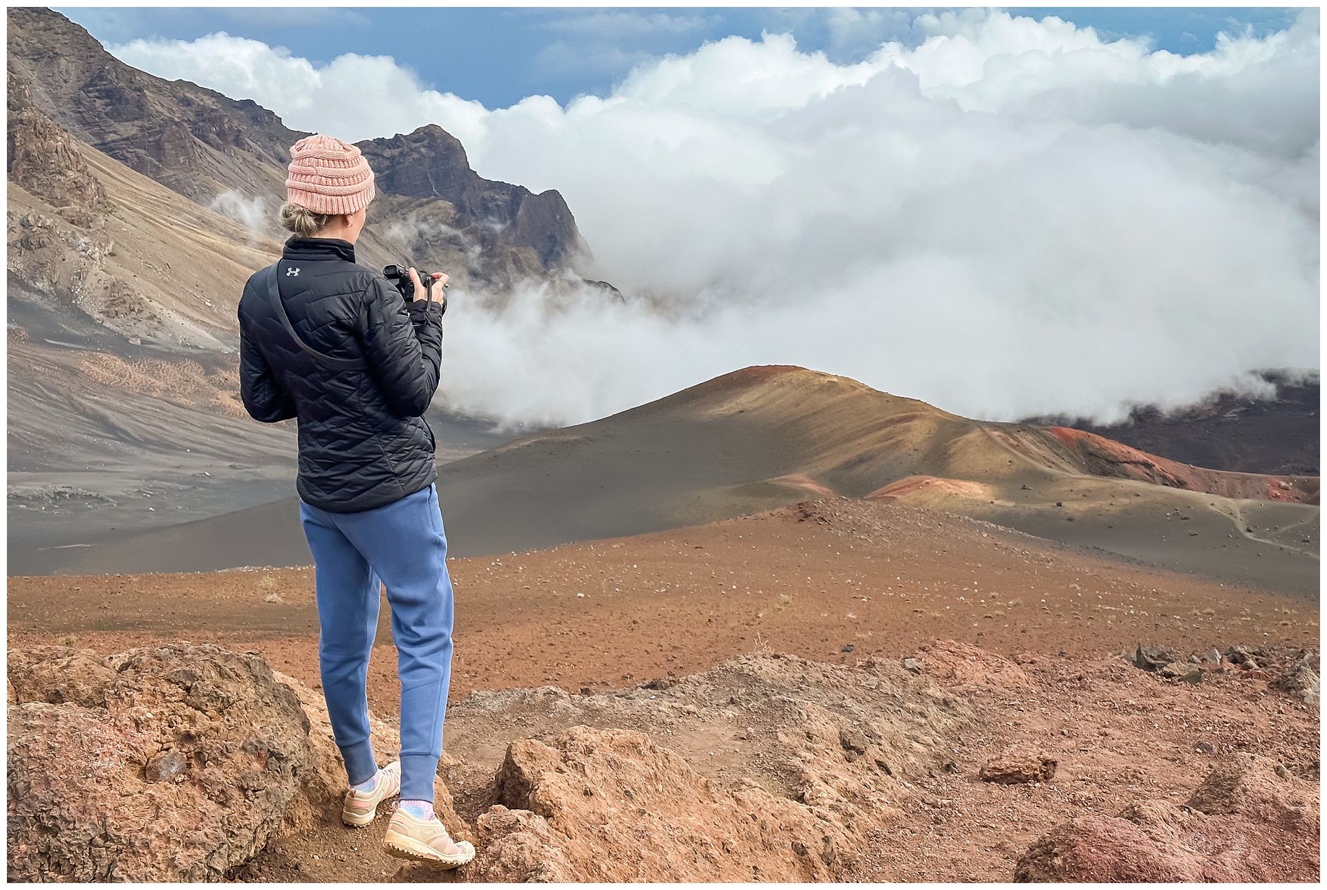 The full hike to the crater floor is 11 miles out-and-back, with an elevation change of almost 3,000 feet. Not wanting to dedicate most of the day to this single trail, we opted for a four-mile abbreviation that took us as far down as the lookout above, where we watched clouds gather in the crater and seep up toward us.
 The hike out of the crater was a decidedly greater cardio workout than the hike down! Once back at the rim, we made stops at a couple more lookouts:
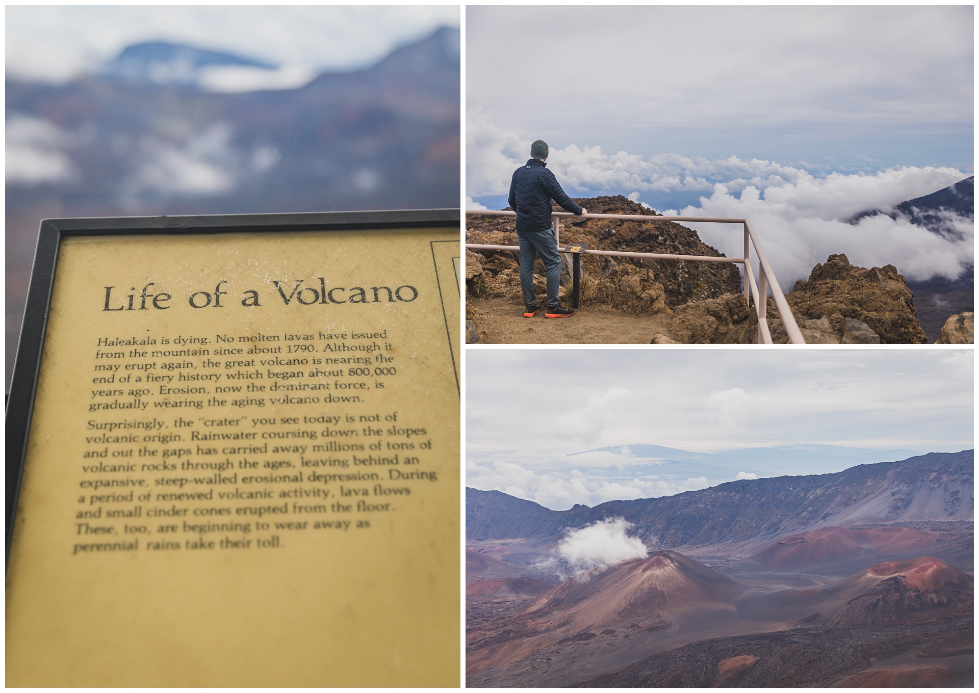
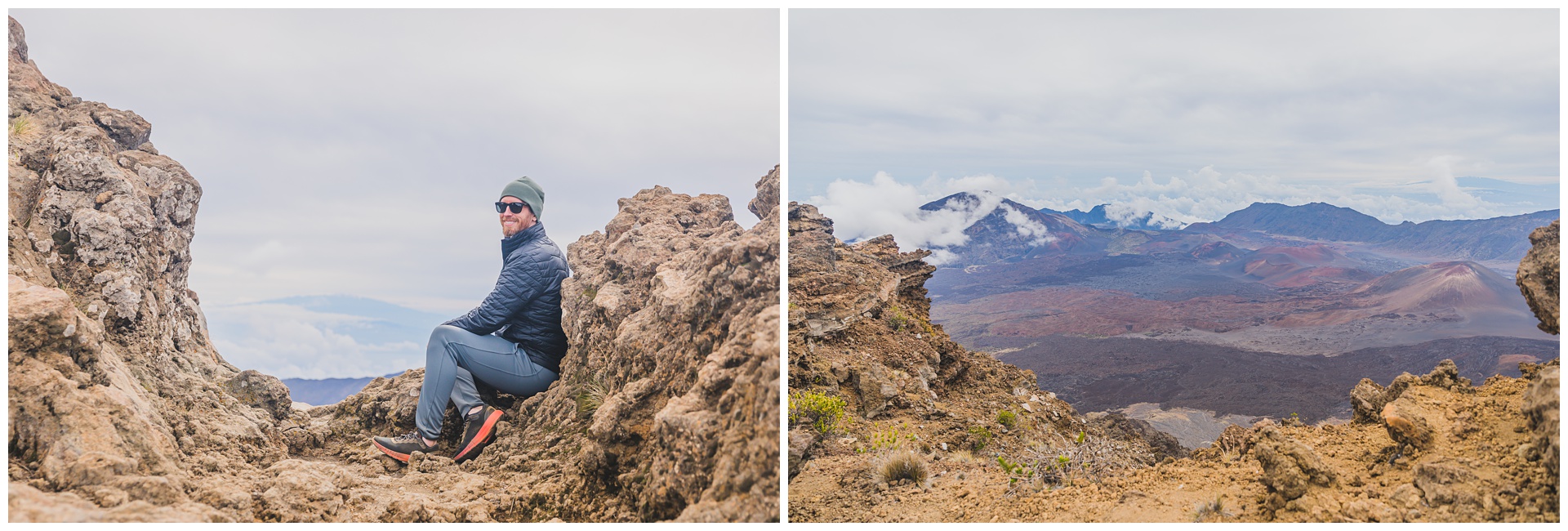
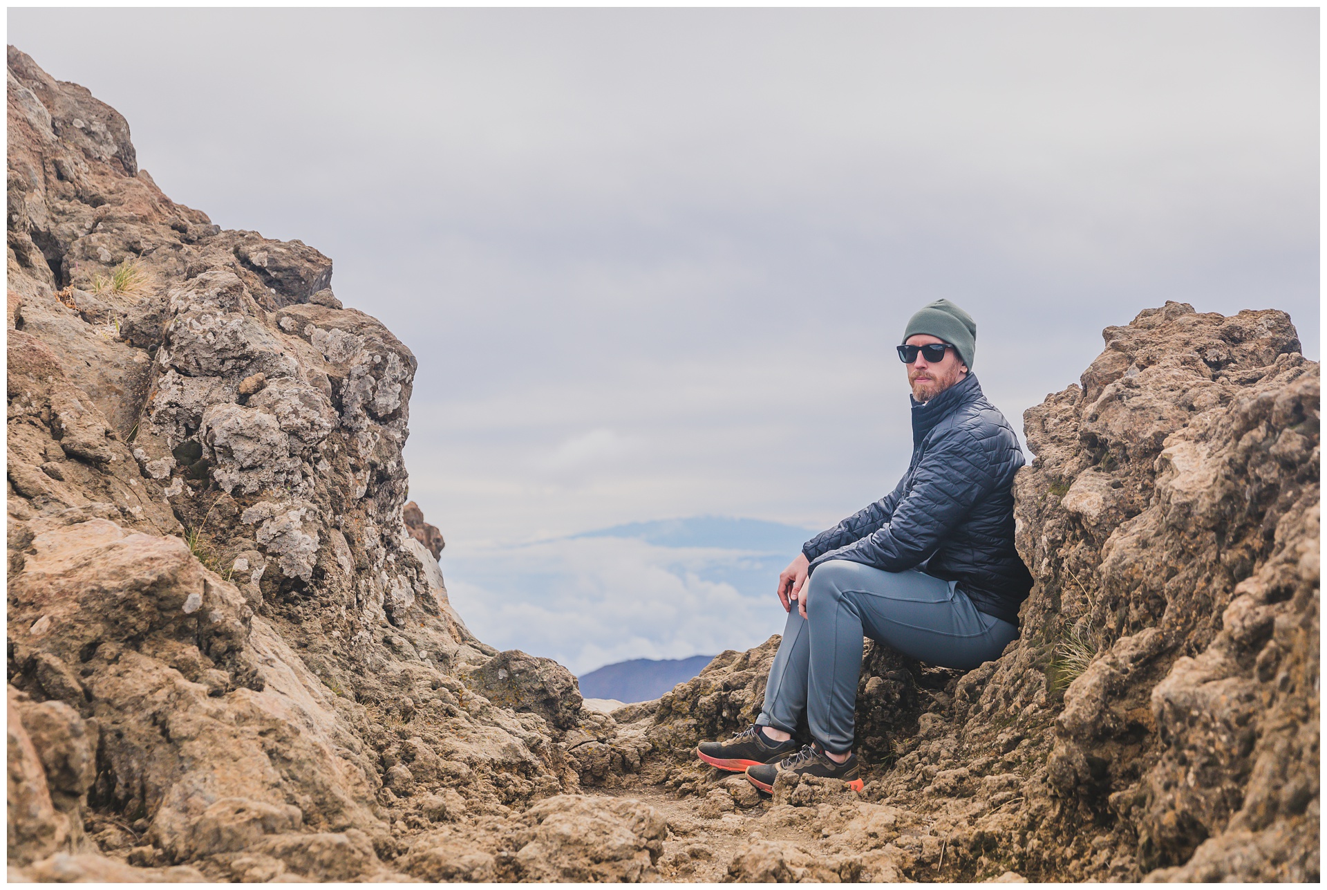
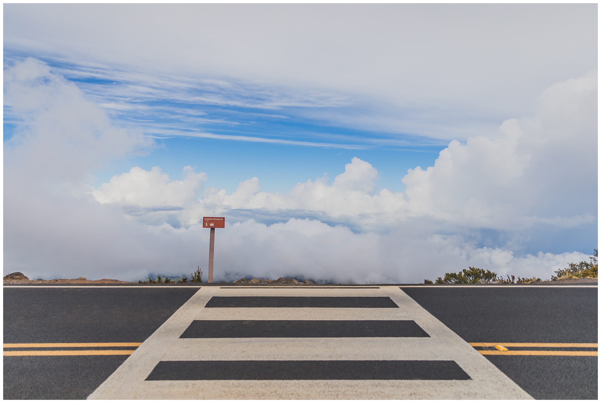
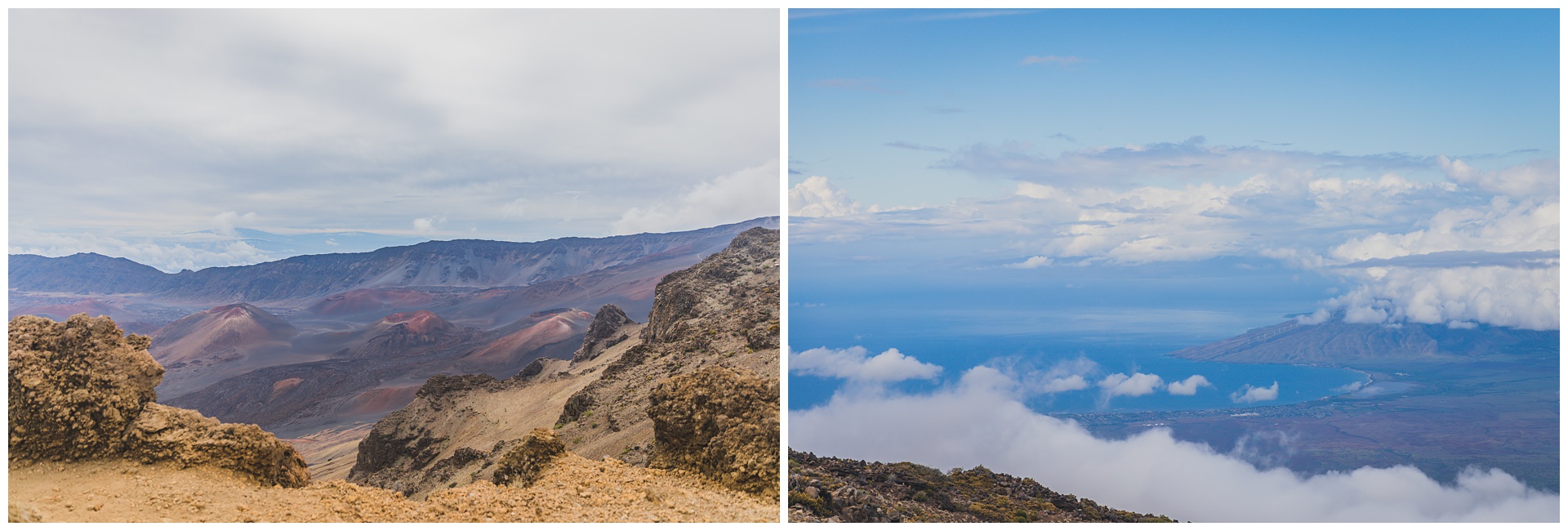 One thing that continually struck me in Hawaii was how we were never far from a coastline. Even from this barren, rocky landscape, we had views of the ocean (above right). It was also really awesome to spend our day in this park seemingly perched up in the sky. And I just love this shot of a crosswalk to the clouds:
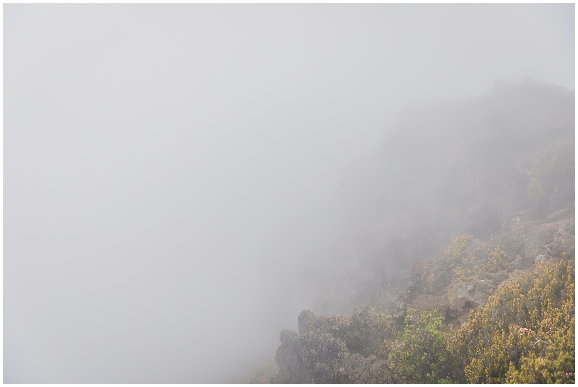
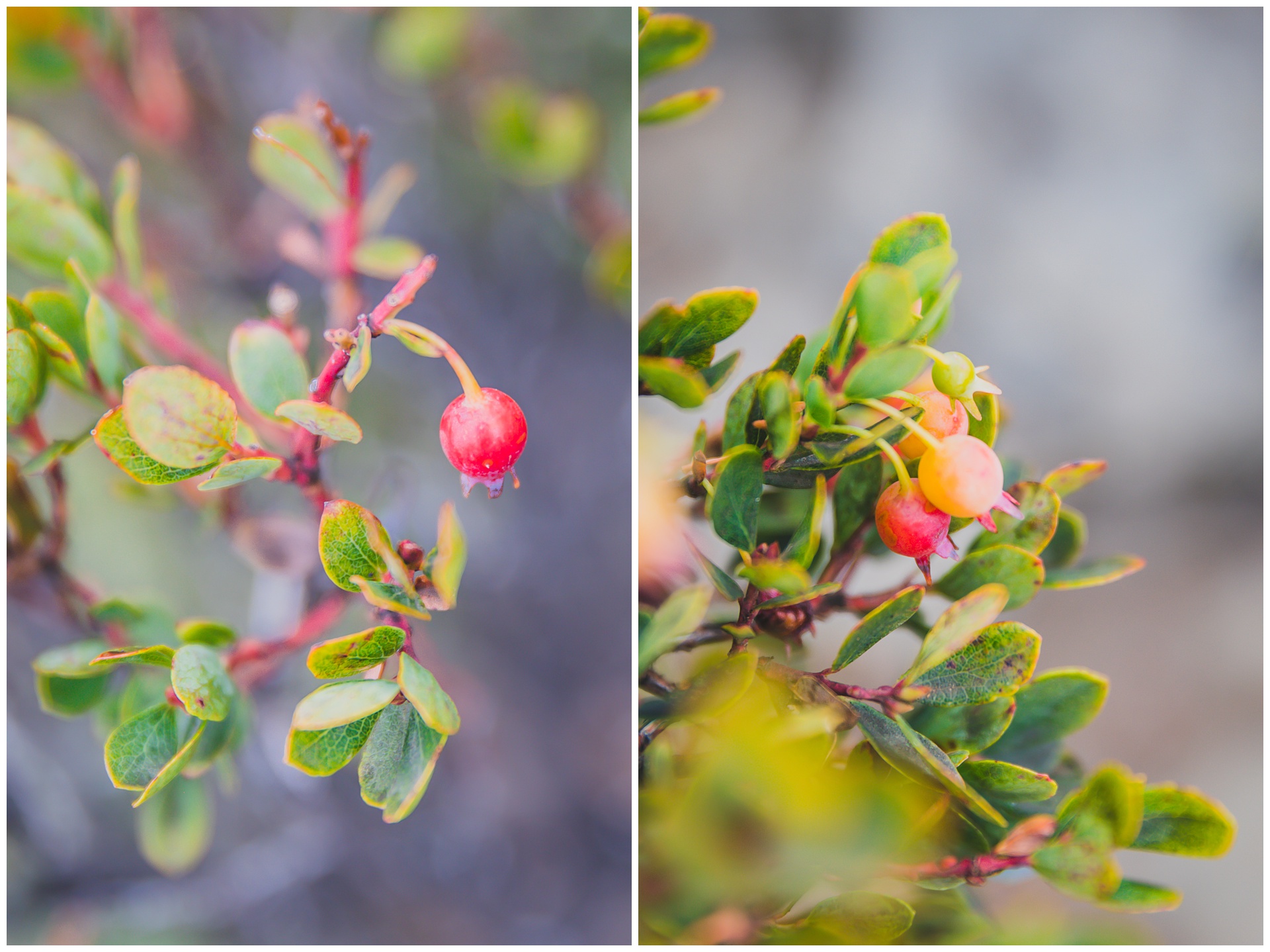

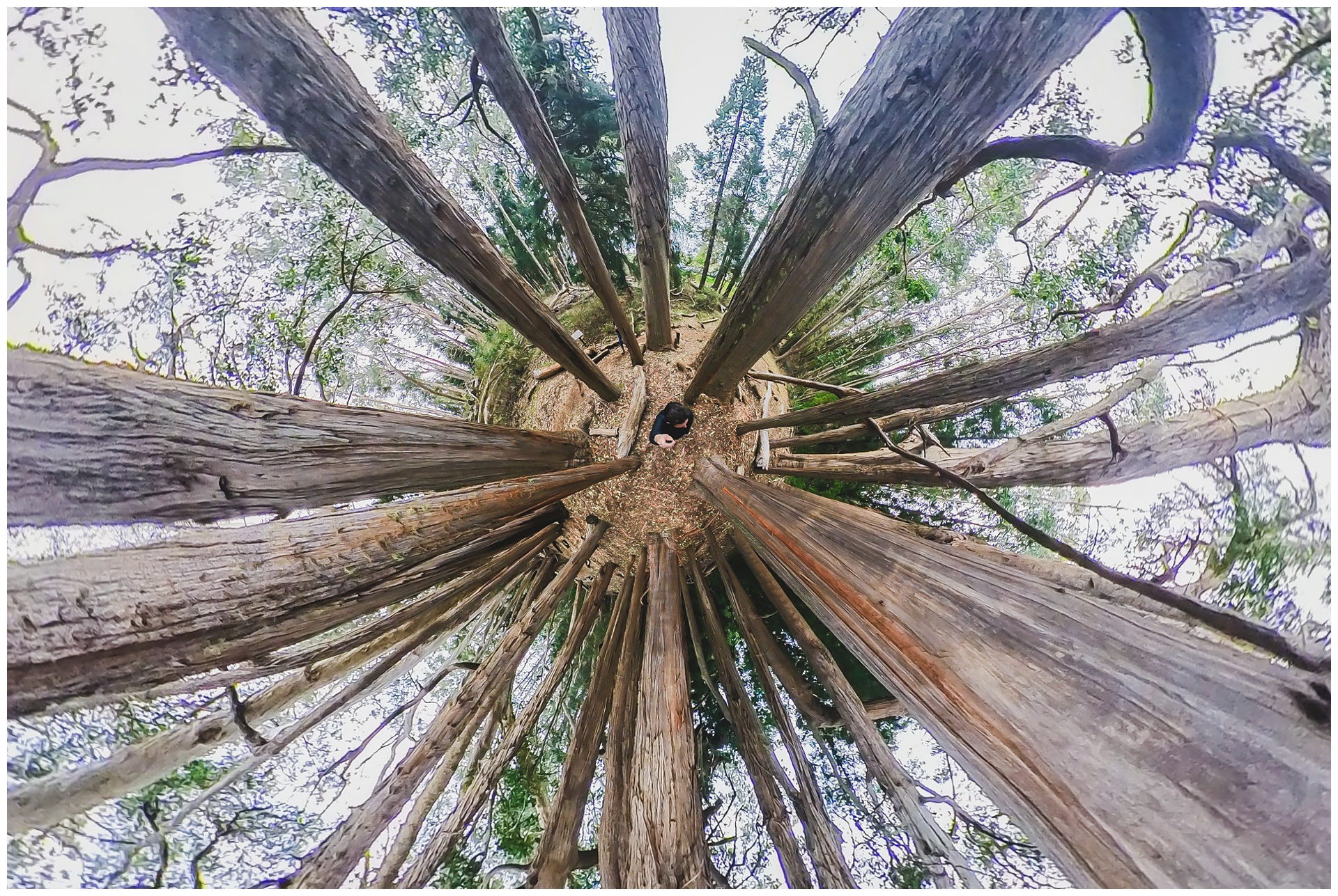
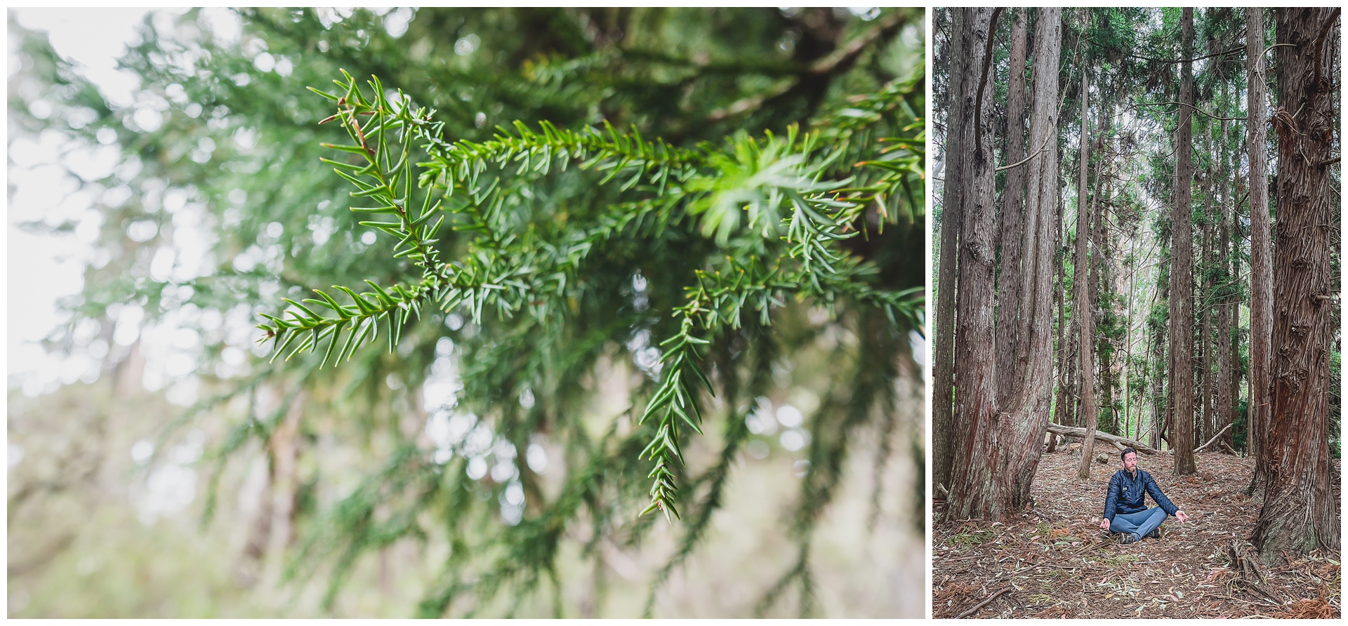
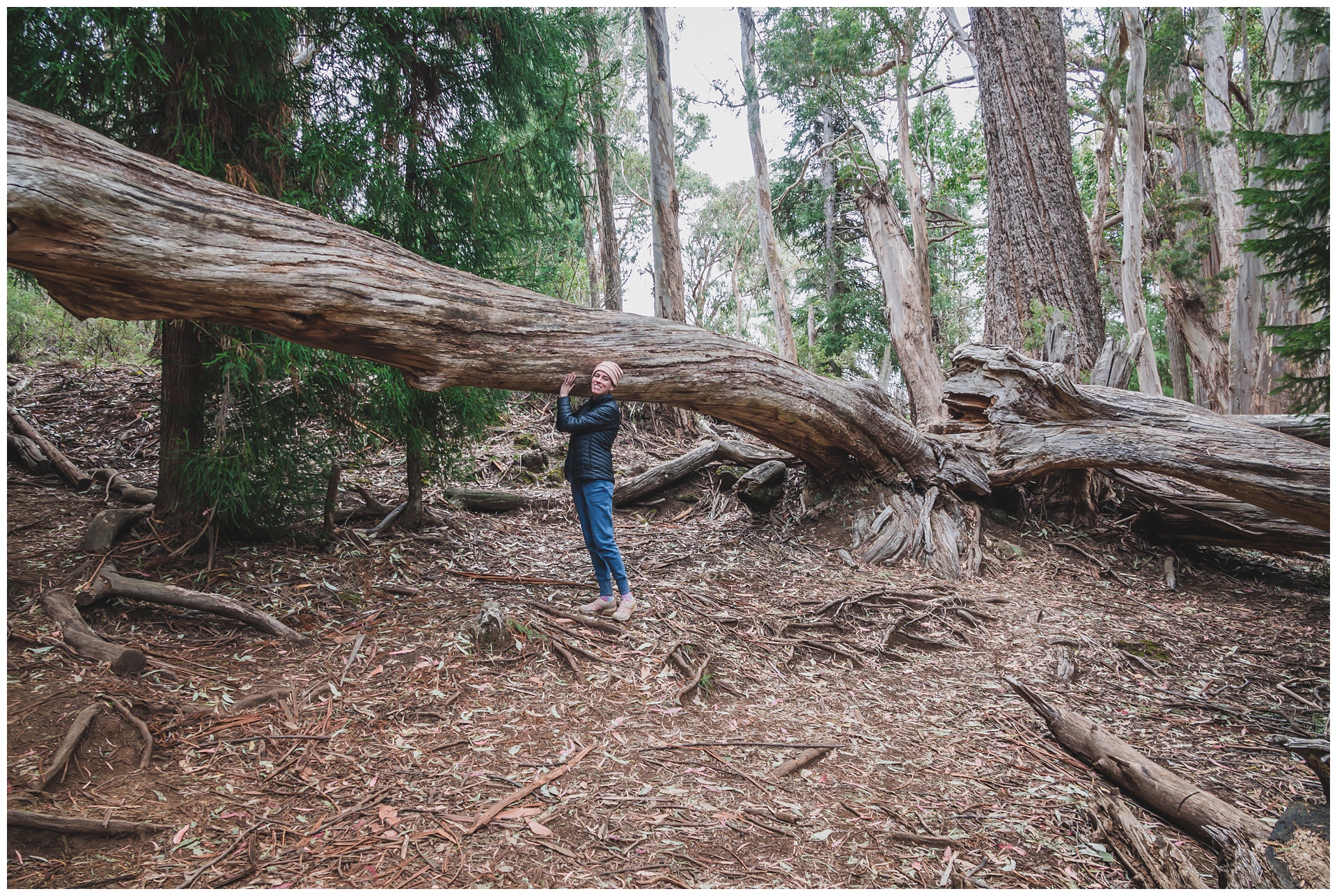
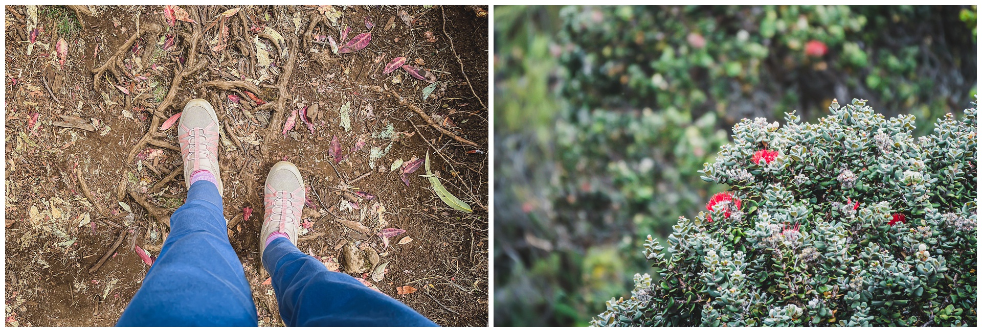
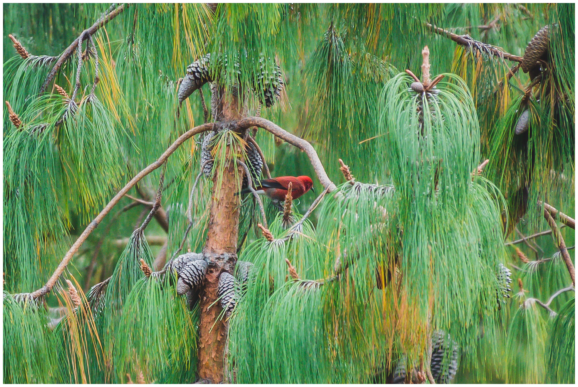
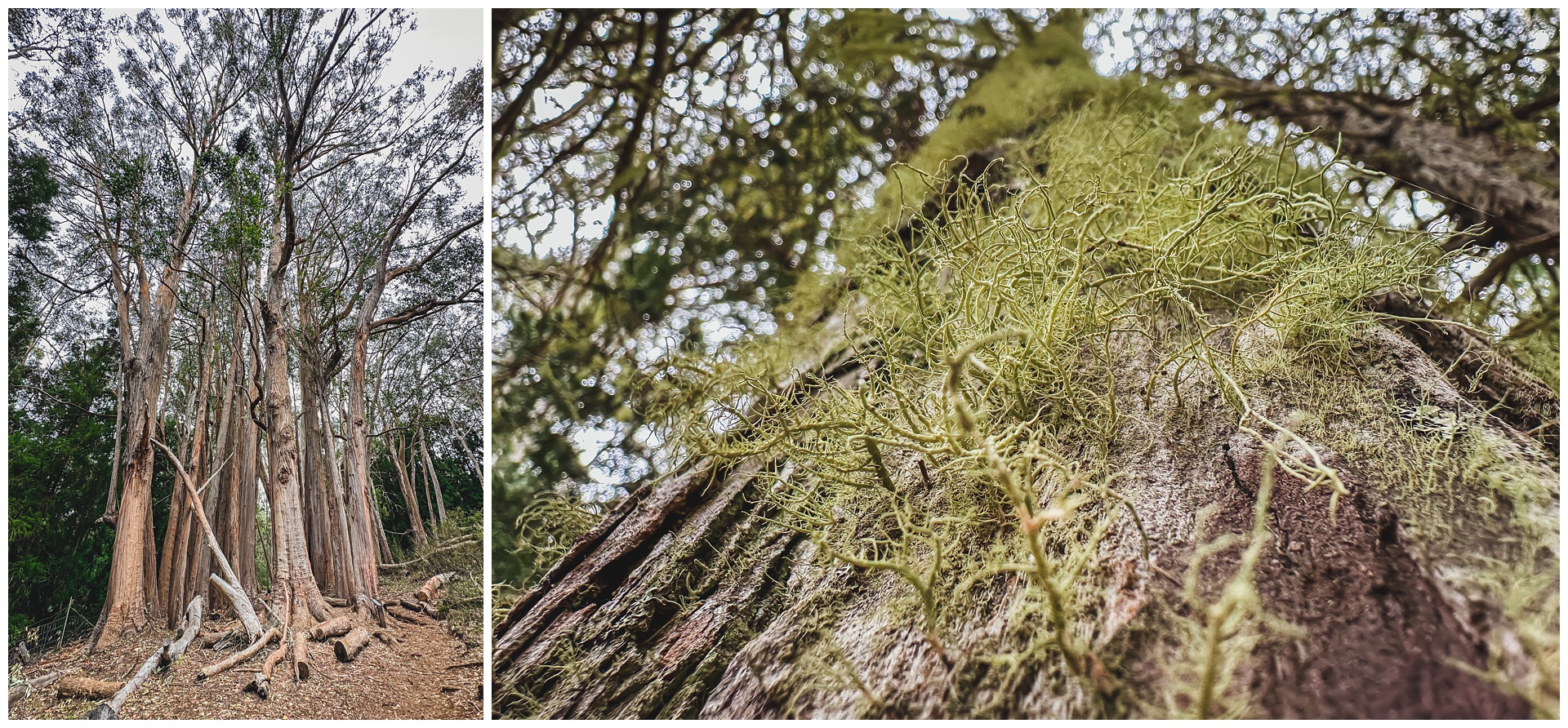 Our last stop was Hosmer Grove, an experimental forestry plot consisting of non-native trees. The loop trail there was way different than what we’d experienced in the rest of the park and really didn’t feel like Hawaii at all!
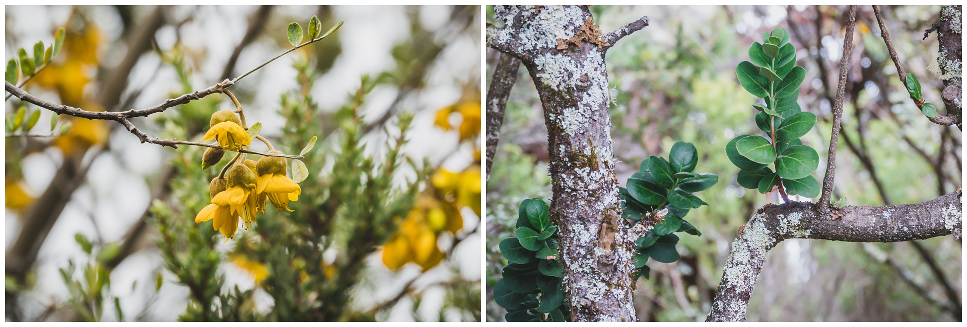
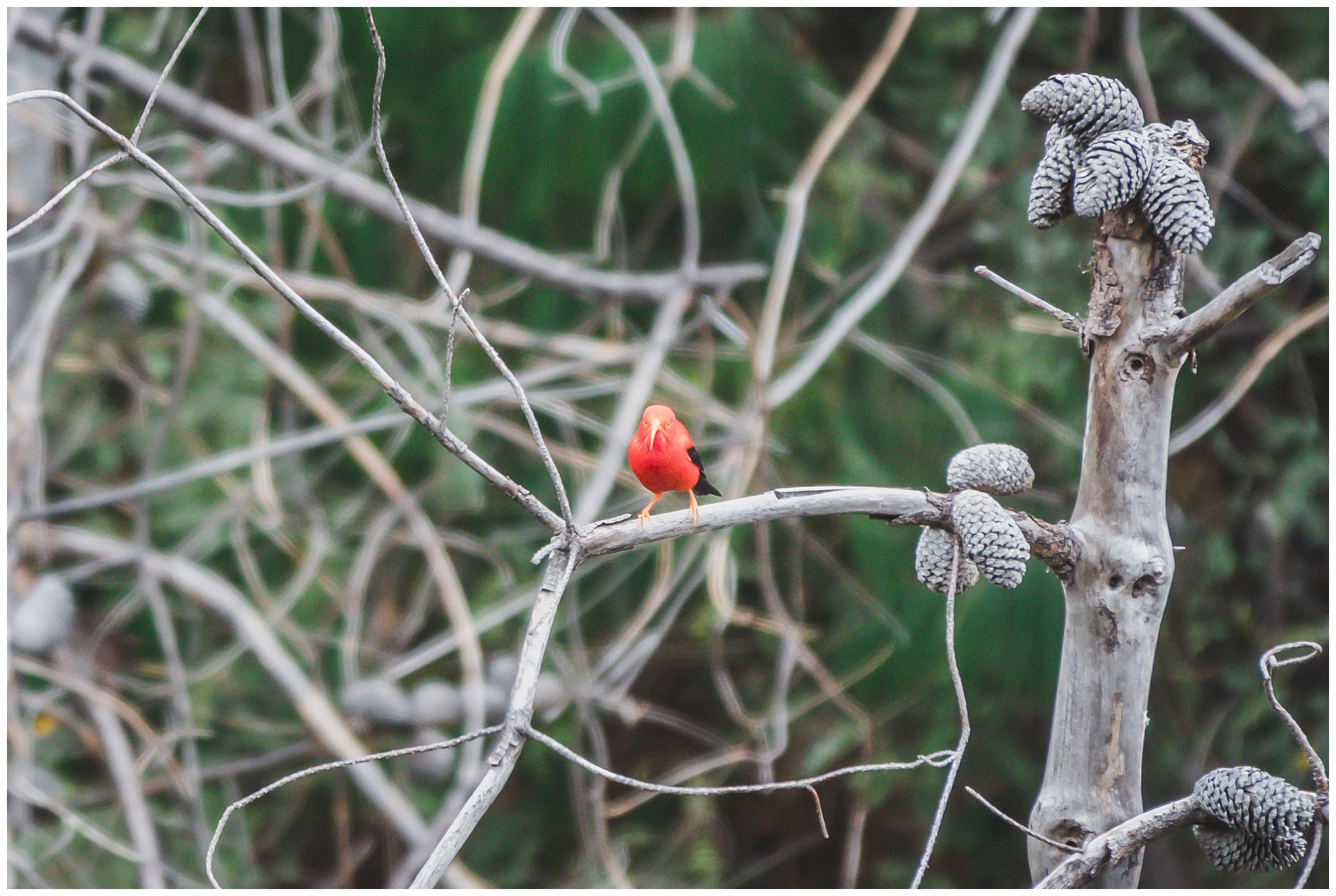
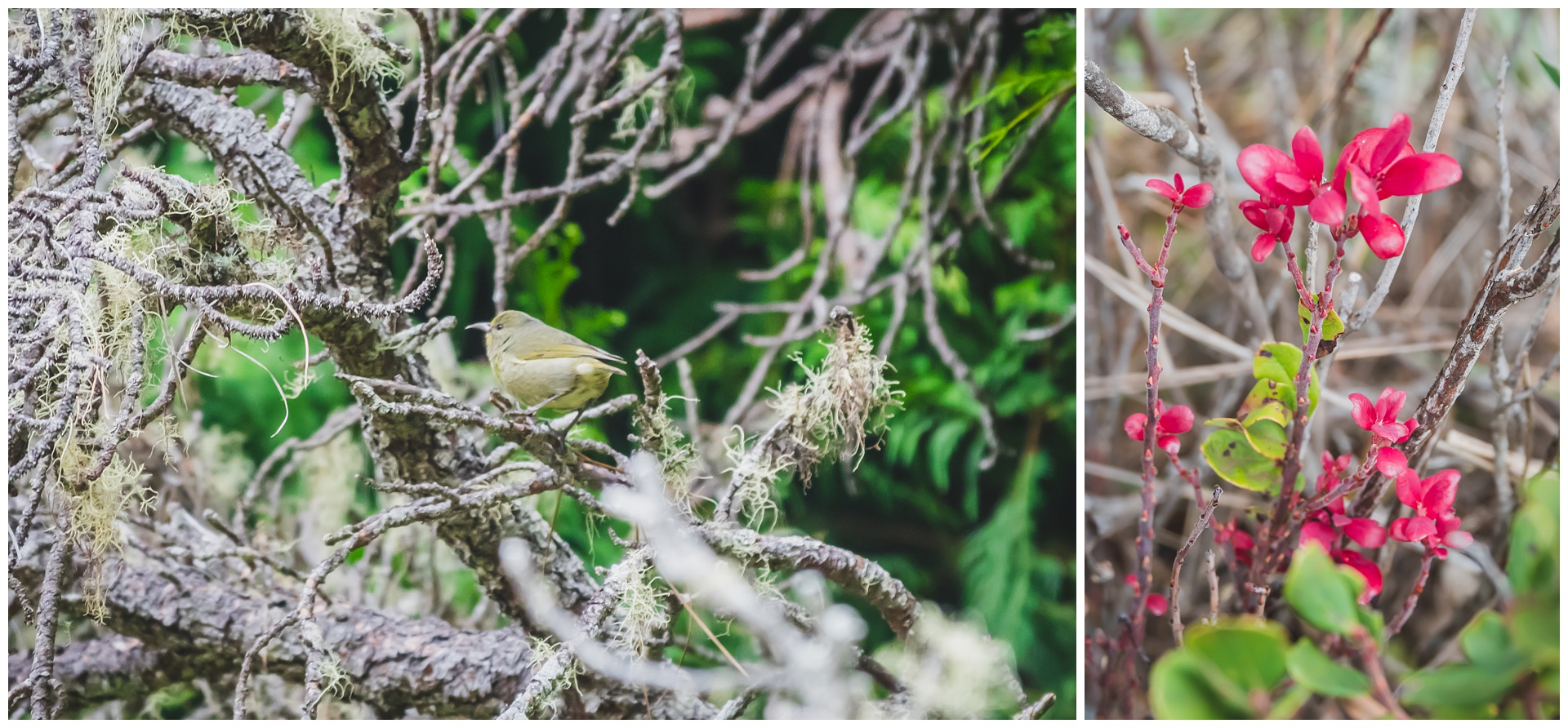
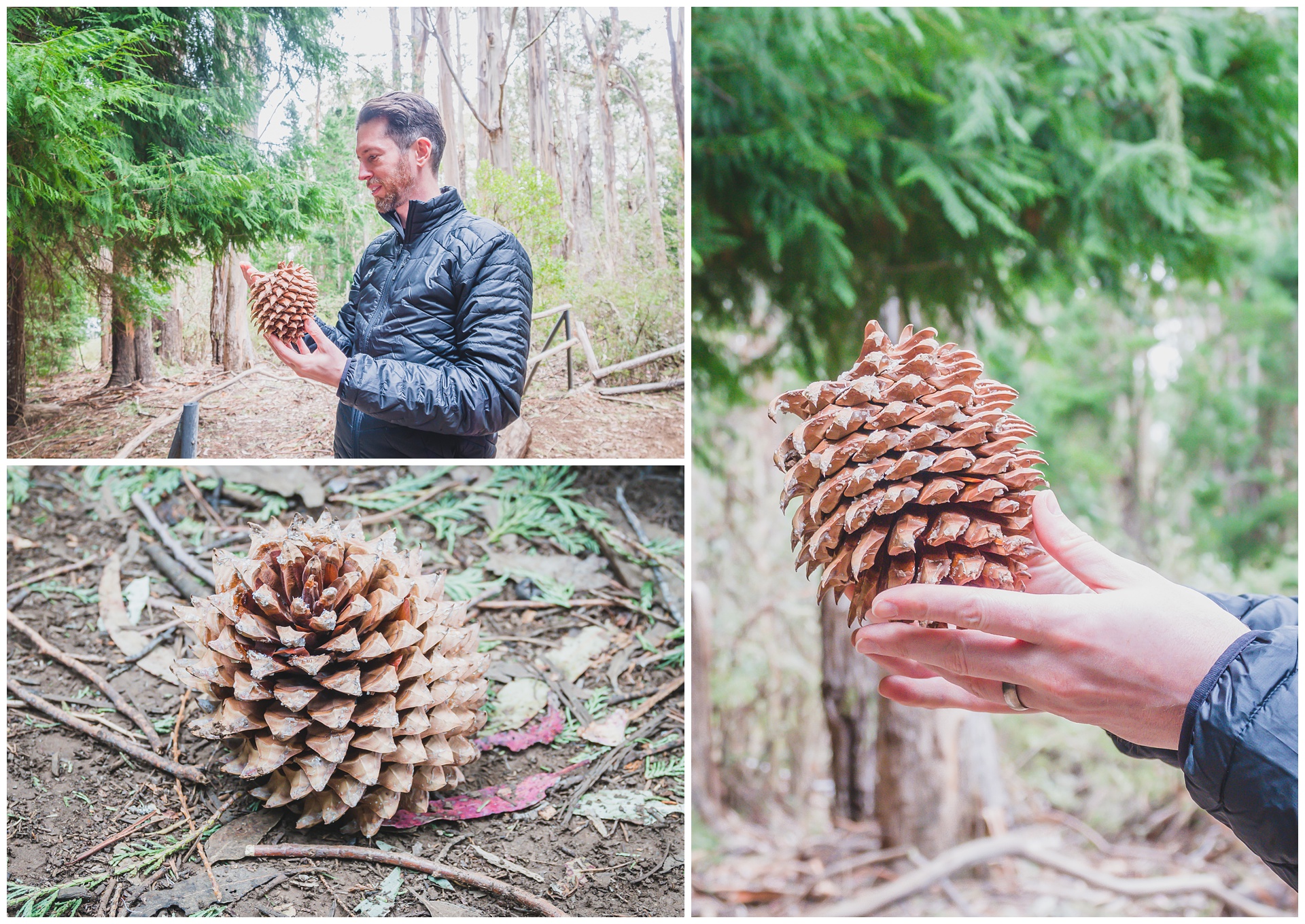
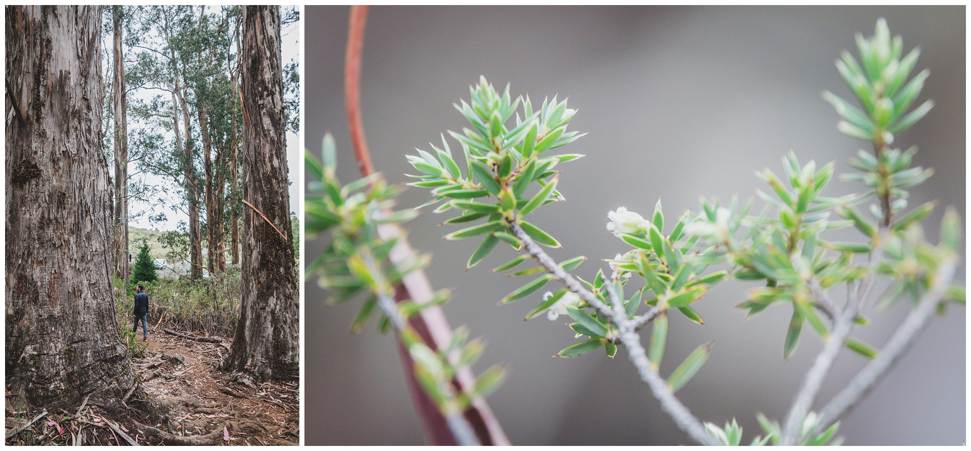
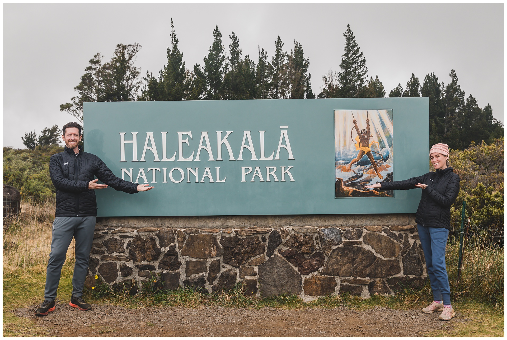
day 4 • 01.27.23 • maui
Road to Hana & Haleakalā National Park (Kīpahulu District)
 We left our hotel in Kahului this morning to drive the storied Hana Highway (colloquially referred to as the Road to Hana) – the 65-mile stretch connecting Kahului to Hana that includes more than 600 hairpin curves and nearly 60 one-lane bridges. This drive through lush rain forest, past thundering waterfalls and ocean views, is known as one of the world’s most challenging … and we happened to travel it both ways in a downpour! Some areas of Maui received more than 23 inches of rain over a few days, beginning on this one. But we braved the conditions and made several stops along the way in spite of them, including outside Aloha Surf Hostel in Paia:
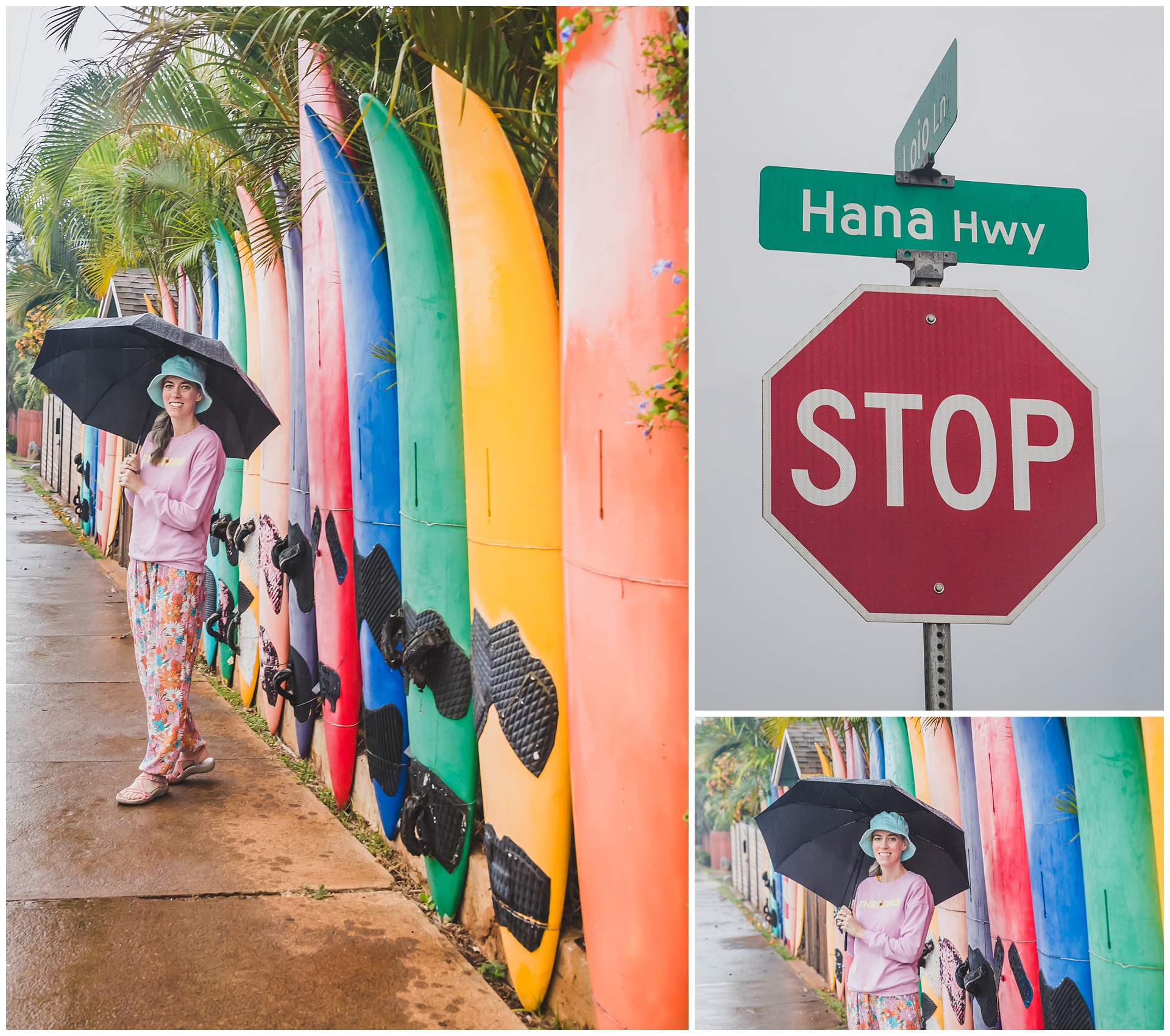
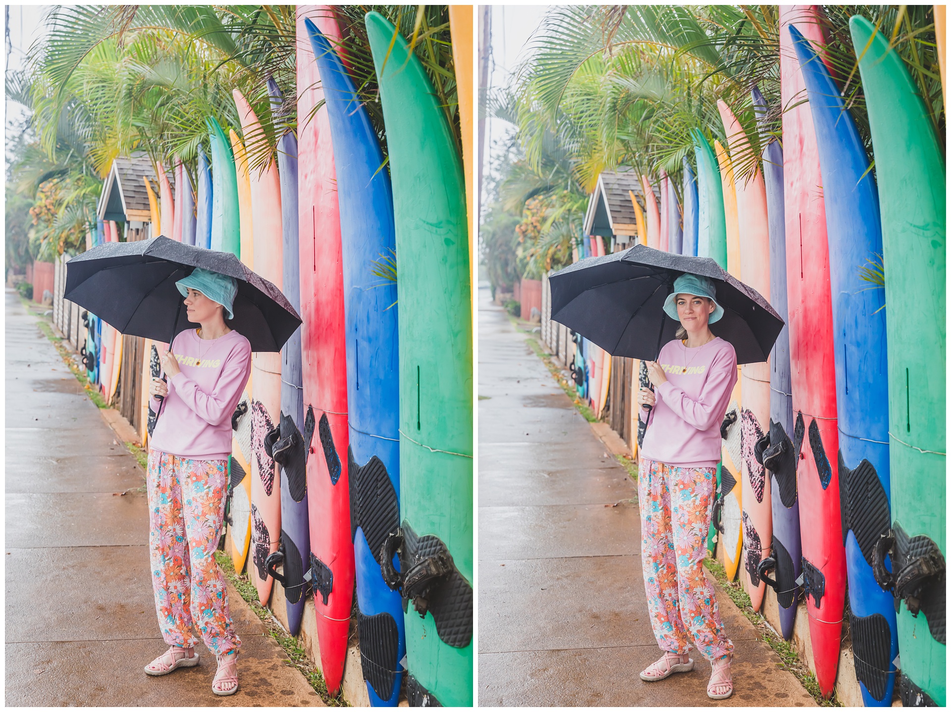
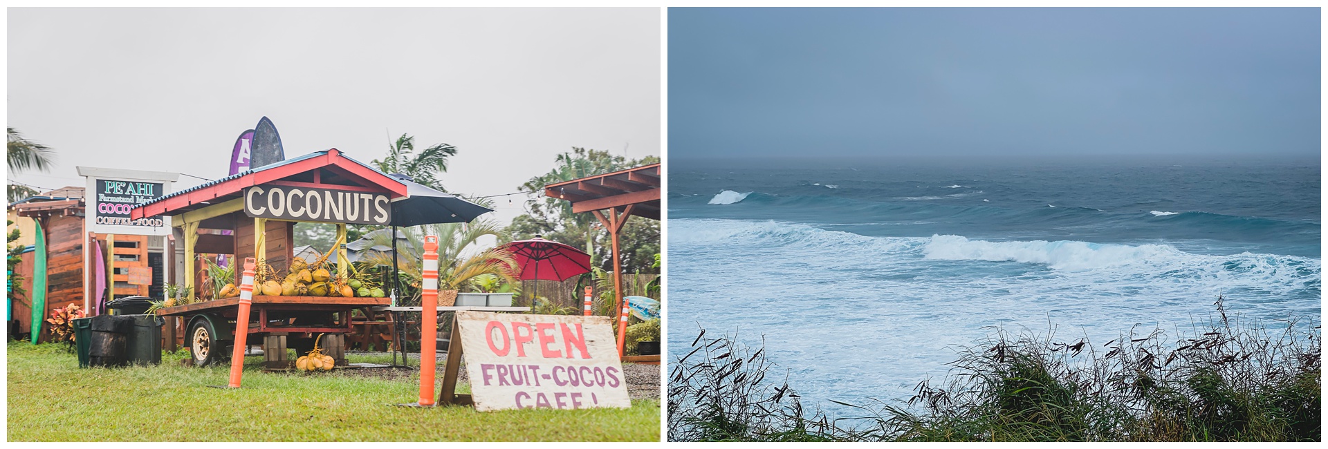 Other stops included Ho’okipa Beach Park (above right) and Huelo Lookout (below).
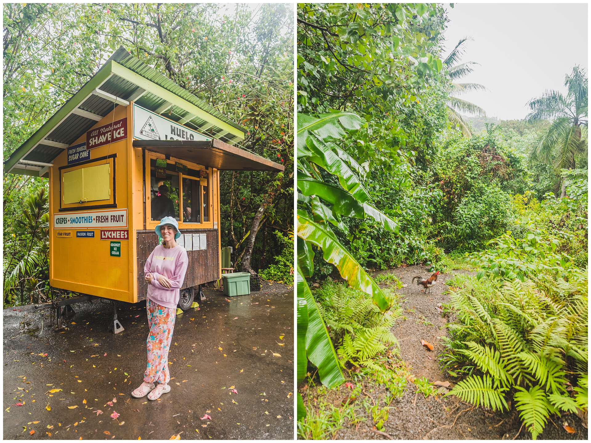
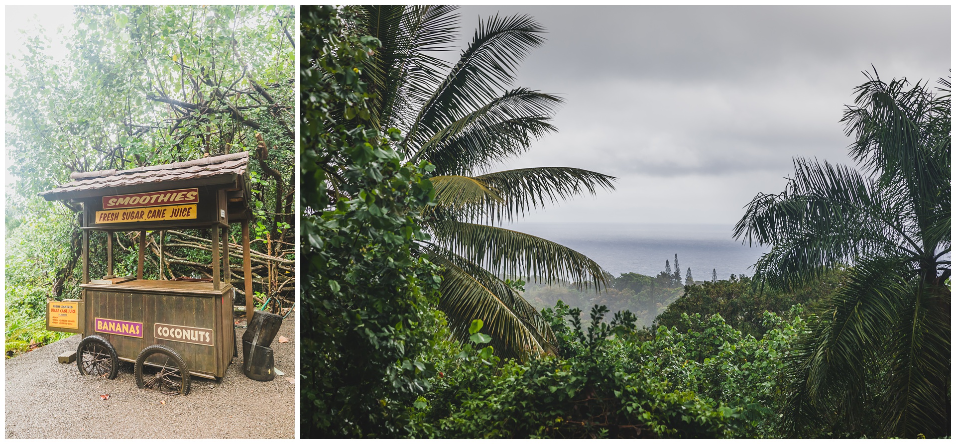
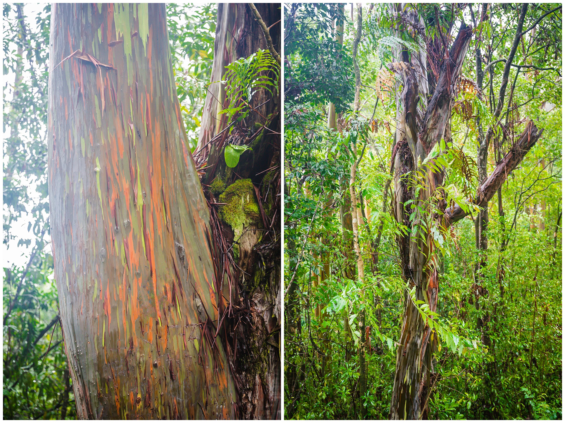 Also along the road are these awesome rainbow eucalyptus trees.
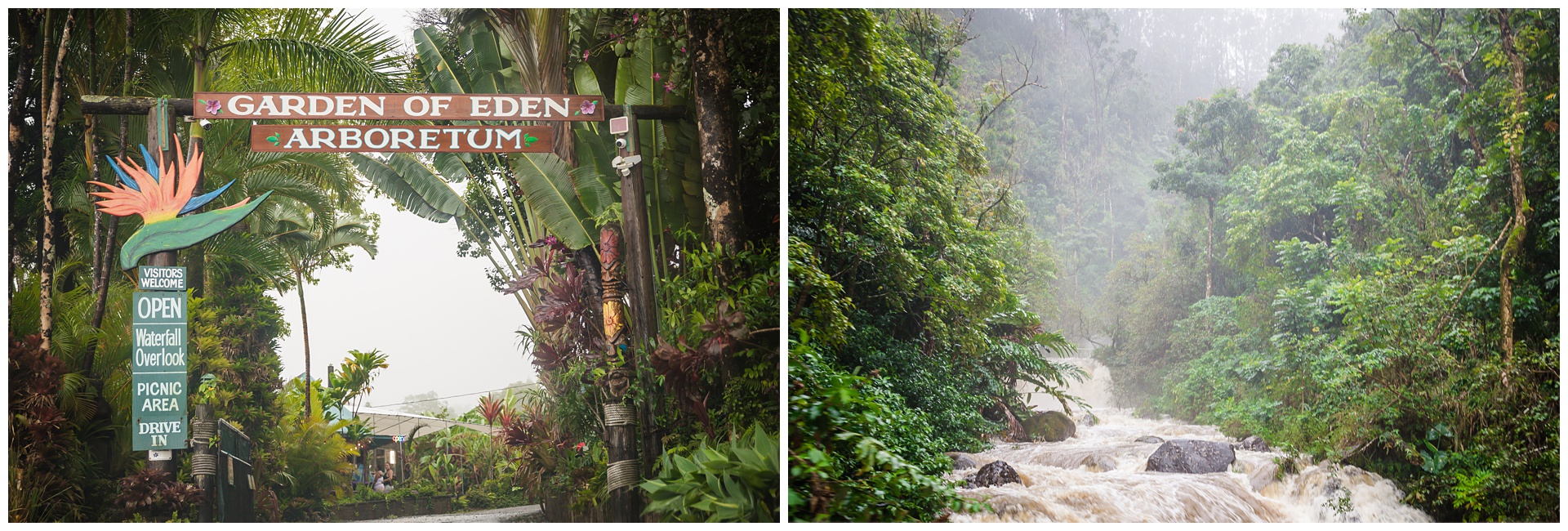
 The Halfway to Hana stand is known for its banana bread made with local bananas, which was still warm from the oven when we stopped there.
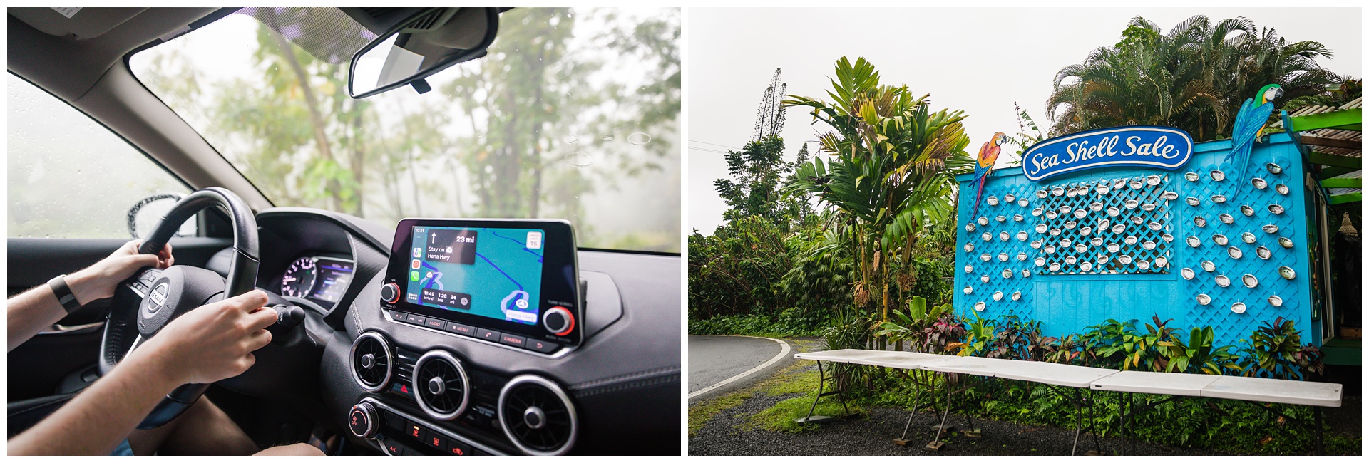
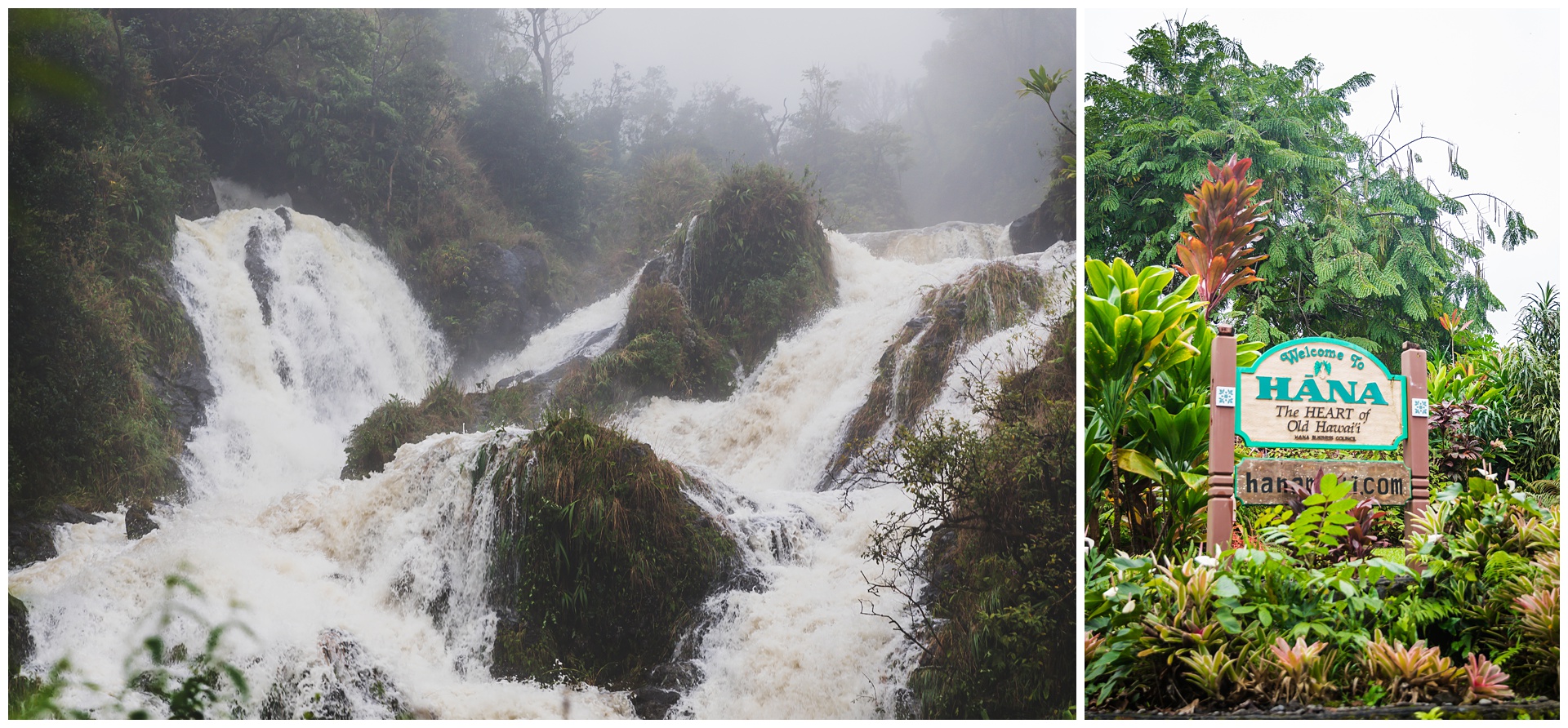 We reached Hana in pretty good time, given that we hadn’t planned many stops with our main objective for the day being to visit the Kīpahulu District of Haleakalā National Park. Hana Highway actually continues past Hana, and the additional 12 miles to the park also took us past Wailua Falls:
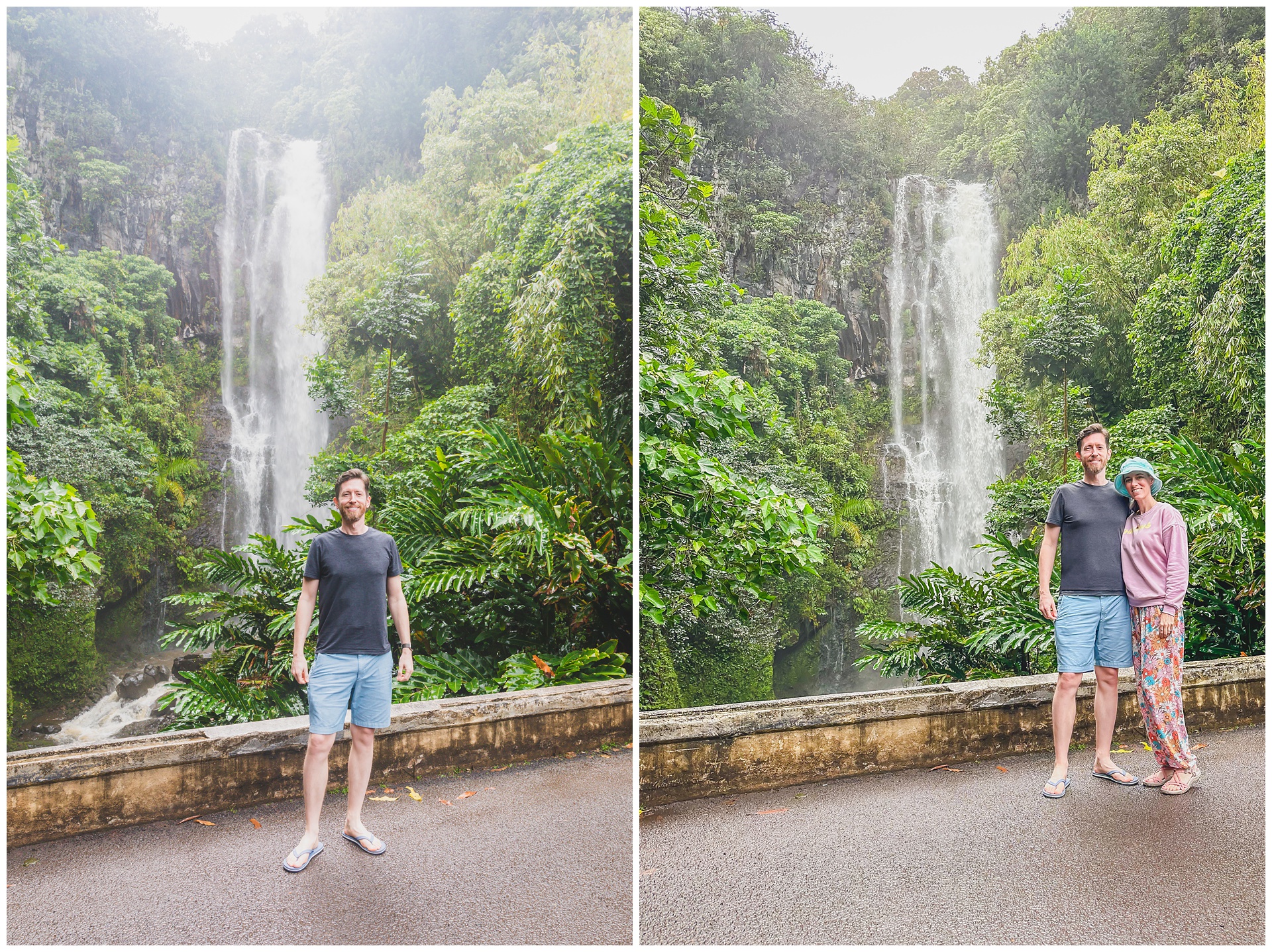
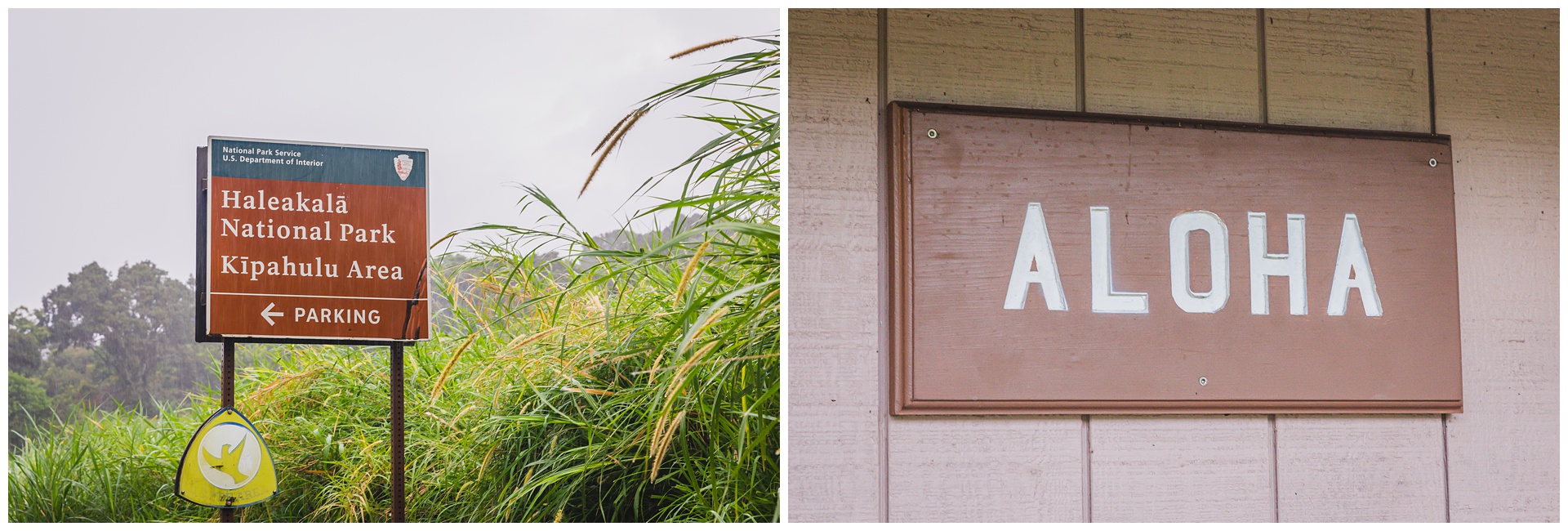 Although they’re part of the same park, Haleakalā’s Kīpahulu District is decidedly different than the Summit District we’d visited the day before. Instead of a rocky and barren volcanic landscape, this area is all lushness – rainforests, streams, waterfalls and coastal areas. And of course, being there in the rain only added to that ambiance!
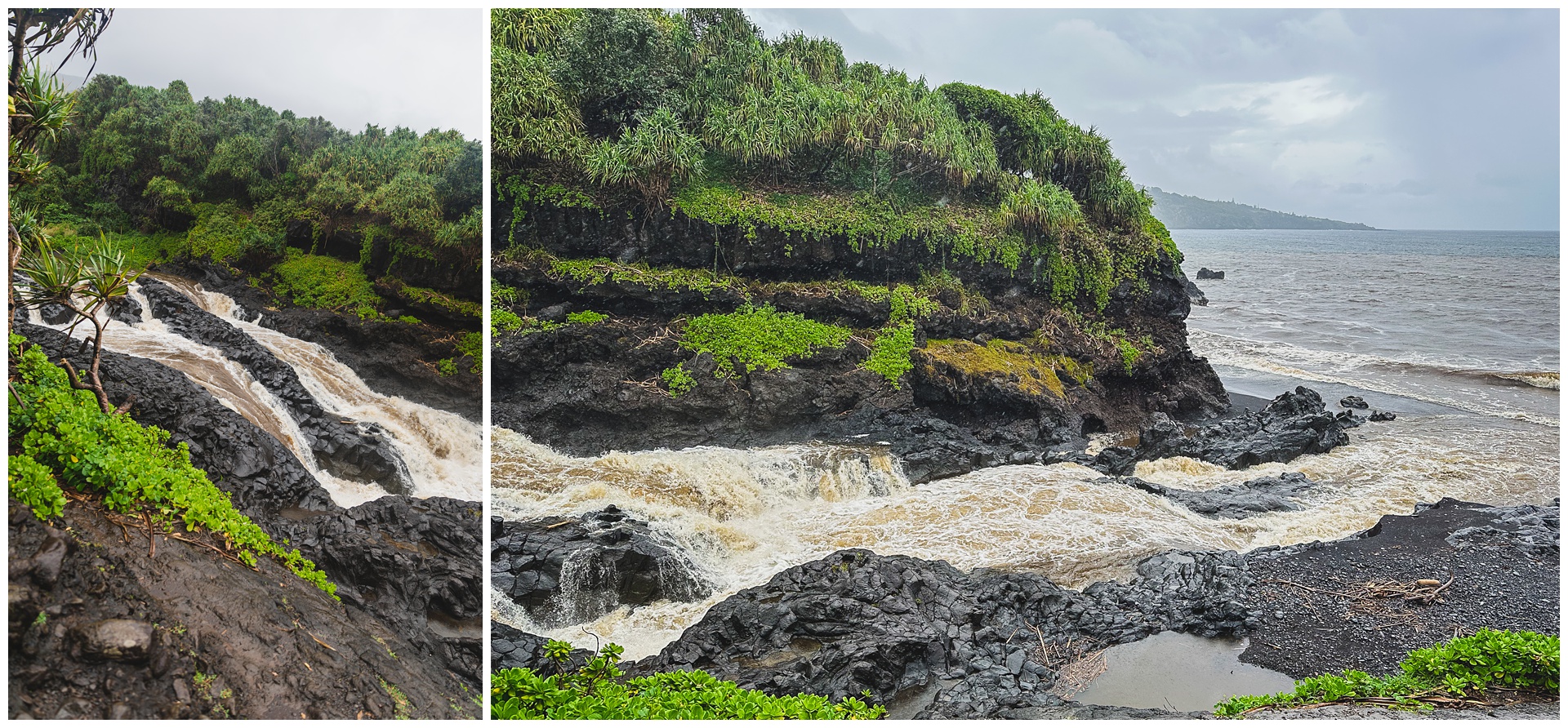
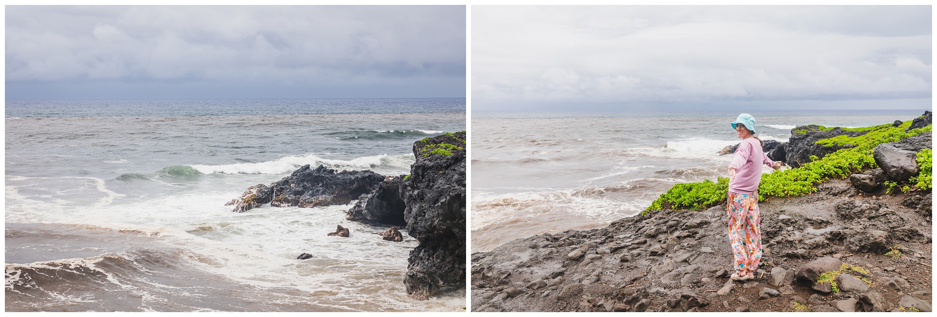
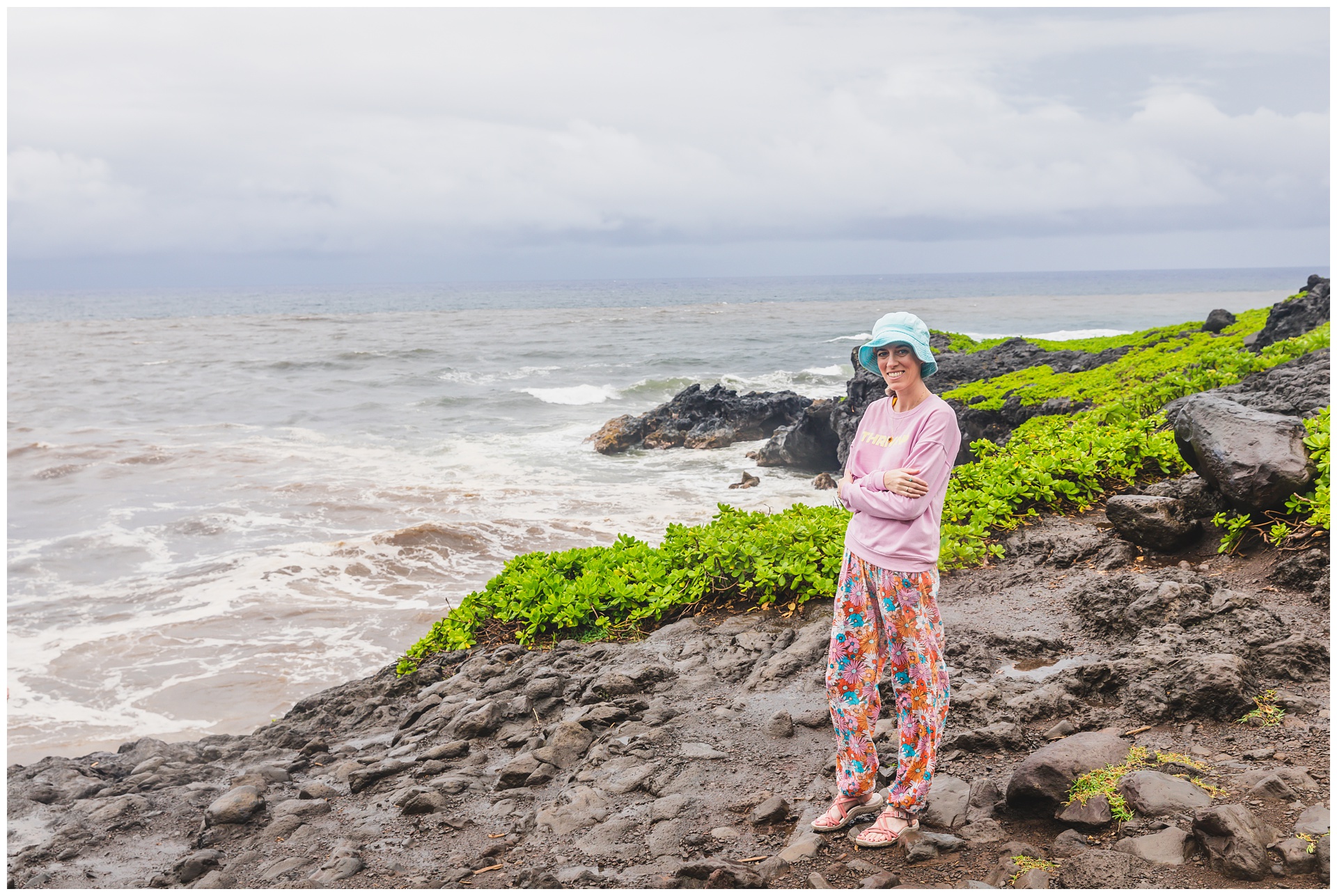
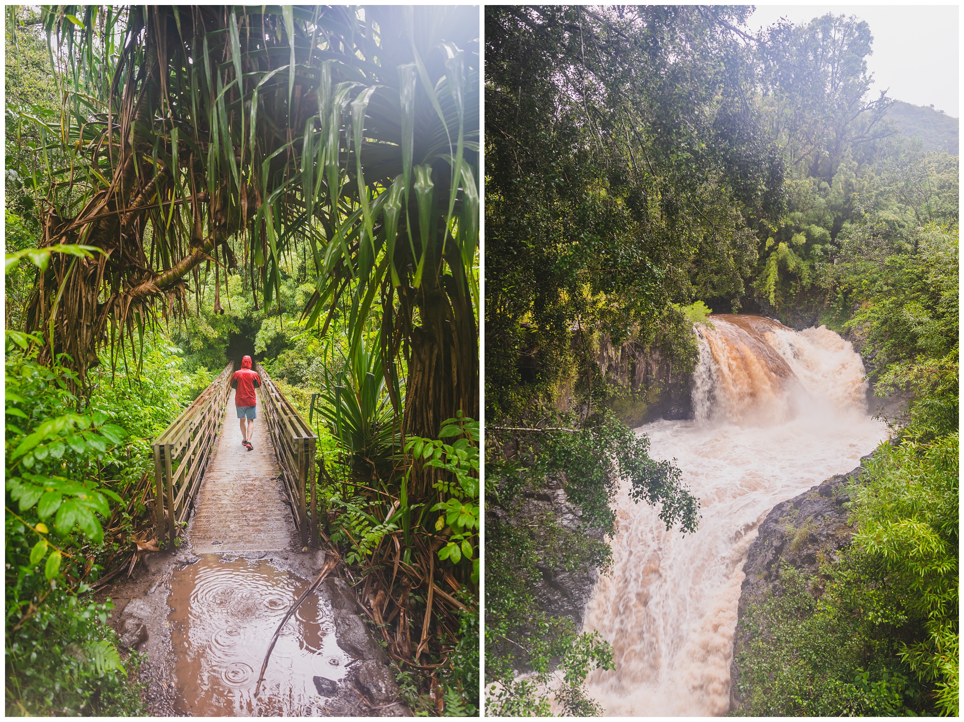
 Our first hike was to the Pools of Ohe’o, also known as the Seven Sacred Pools – although with water levels being as high as they were, it was hard to make out distinct pools in this flow out to the ocean. But it was still awesome to stand beside the rushing water and the sea.
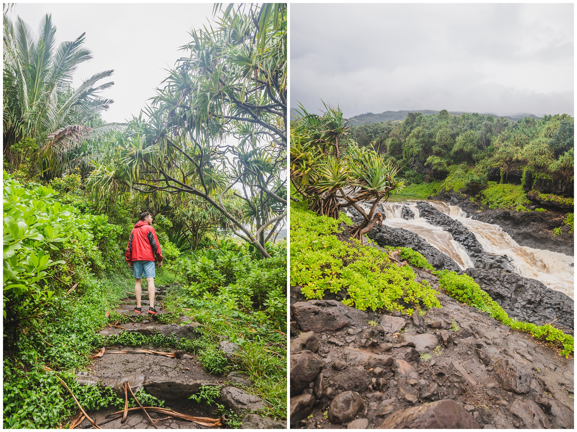
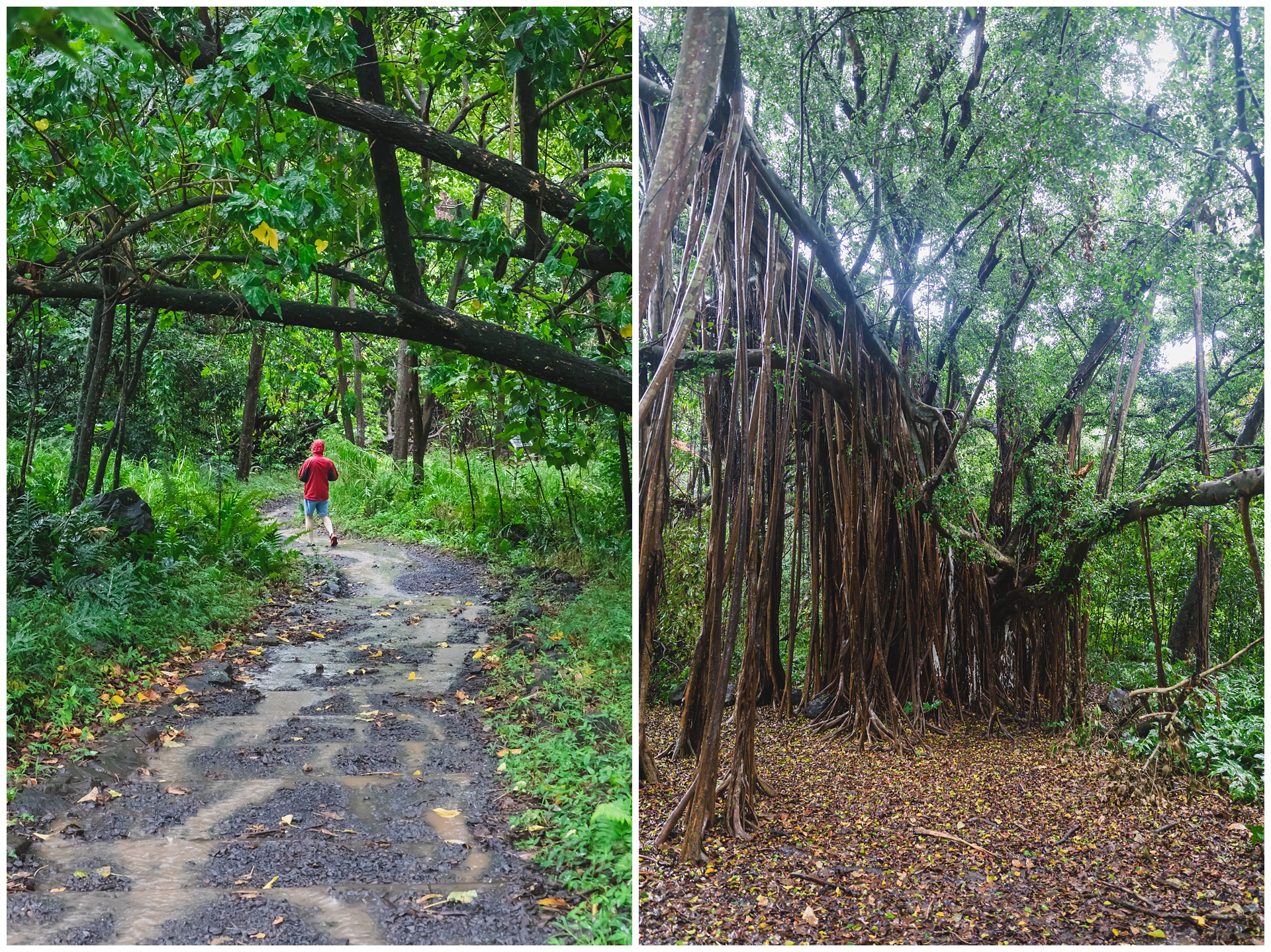
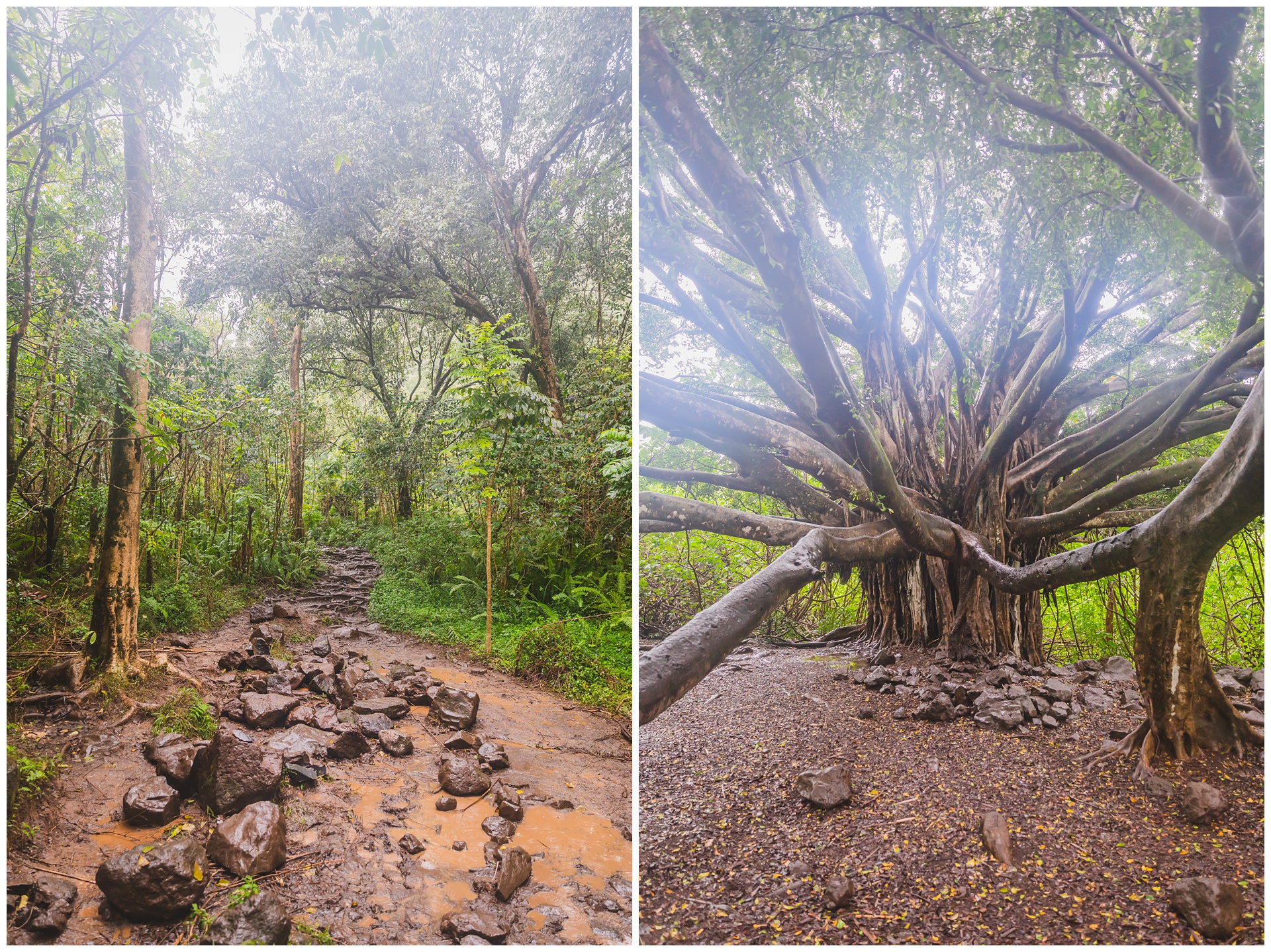
 Next we embarked on a muddy uphill trek on the Pipiwai Trail. The endpoint of the hike is the 400-foot Waimoku Falls, but the trail passes other impressive waterfalls and awesome sights along the way.

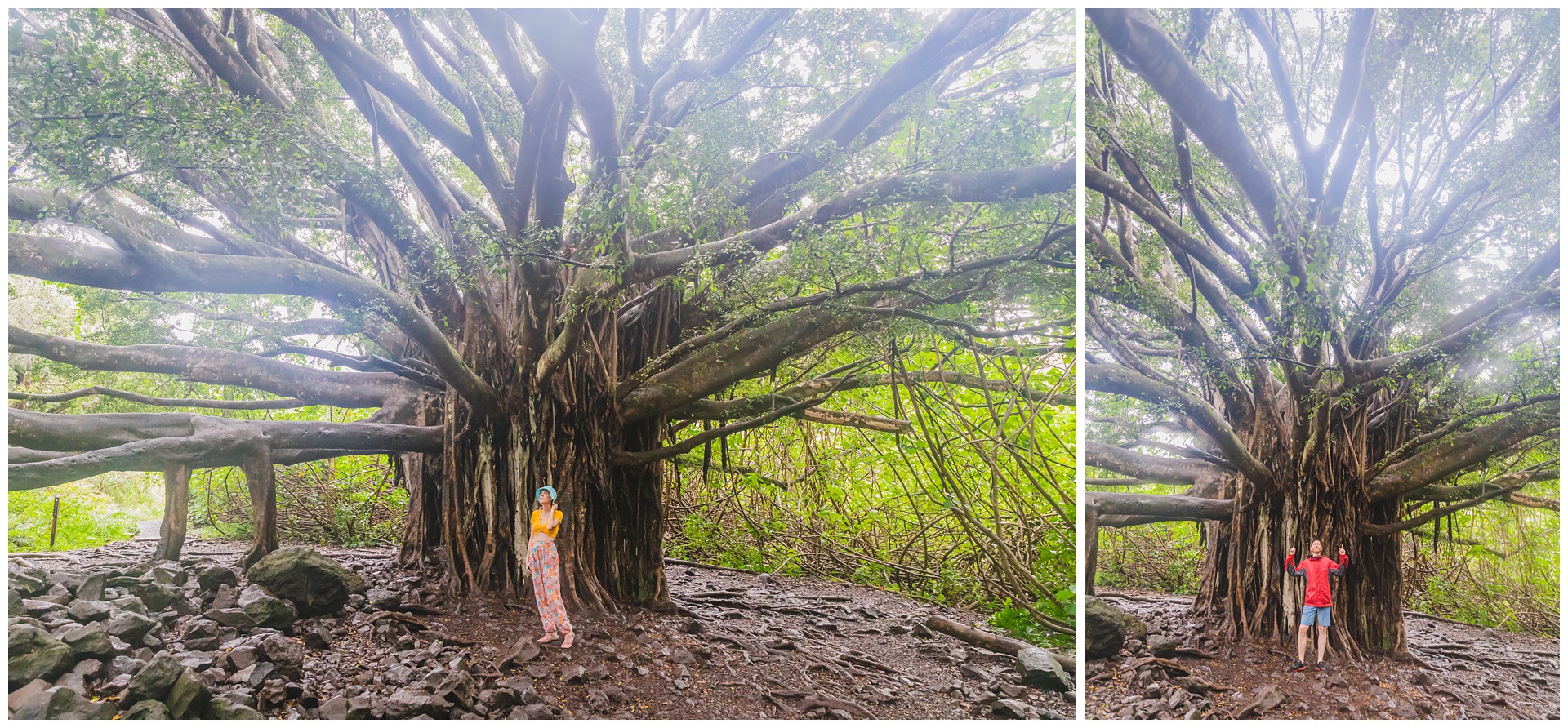
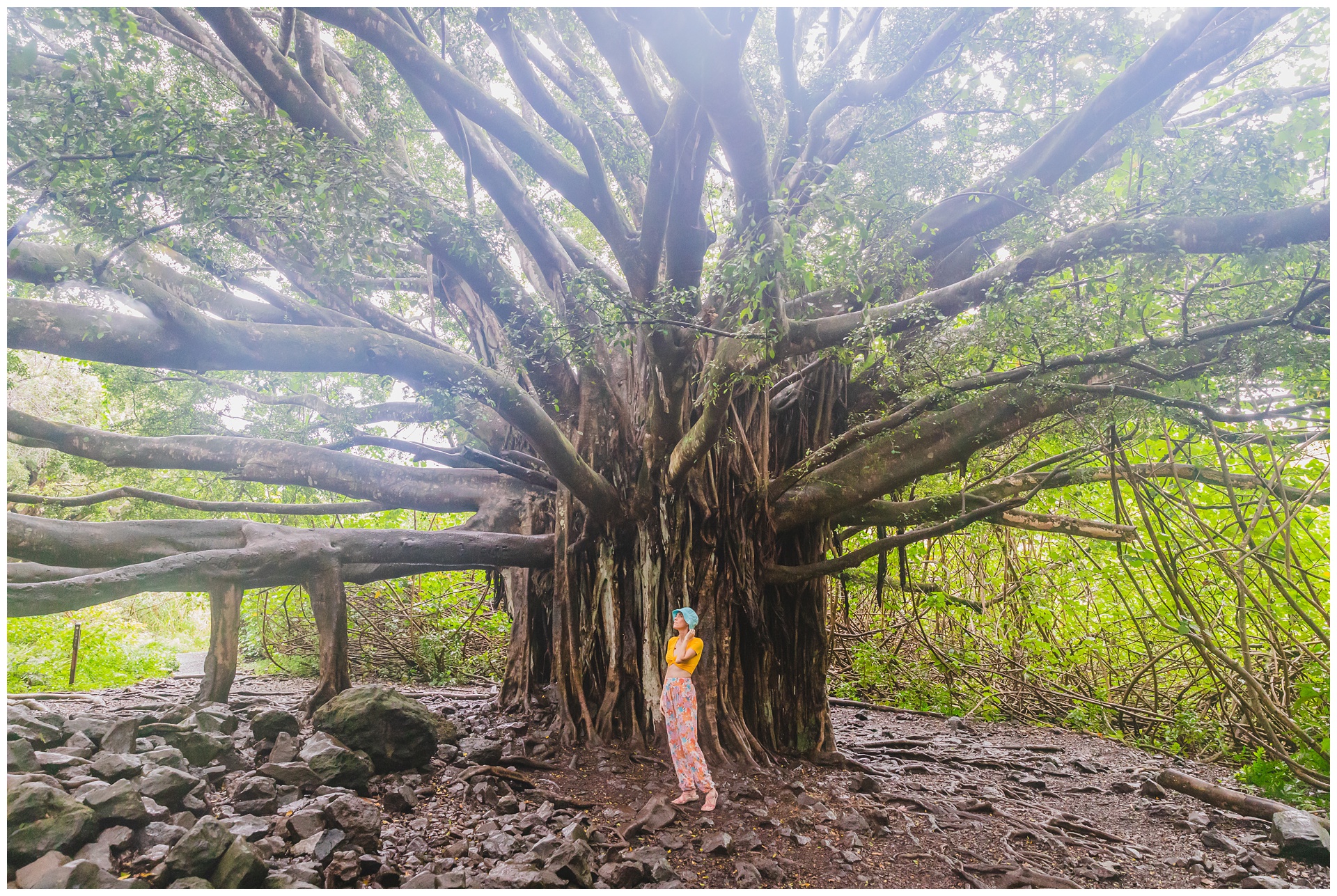 One of Pipiwai’s most picturesque spots is this this massive banyan tree. Although it isn’t as large as the one in Lahaina, there’s something amazing about coming across it during a walk through a rainforest.

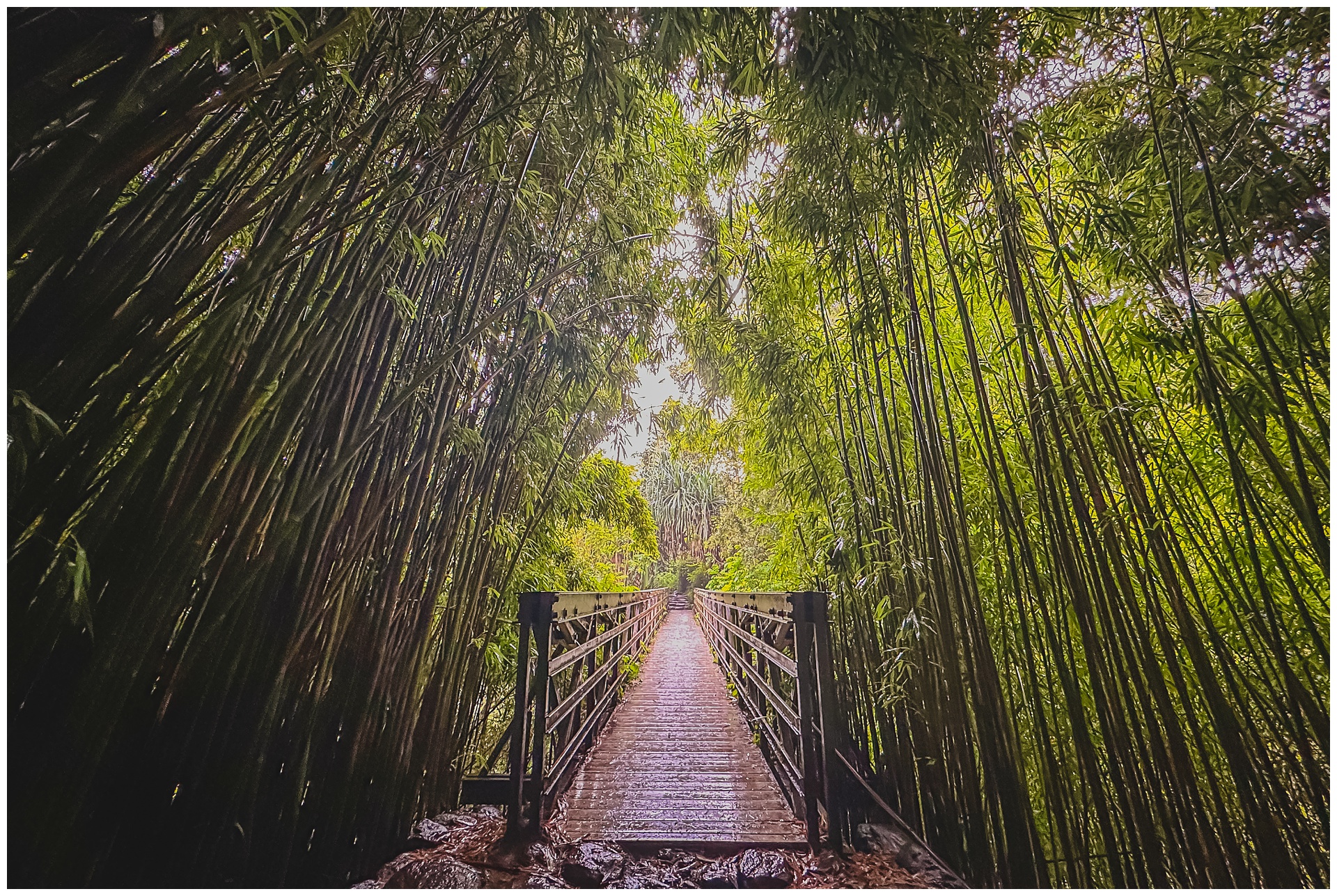 Also amazing on this hike was its section of bamboo forest.
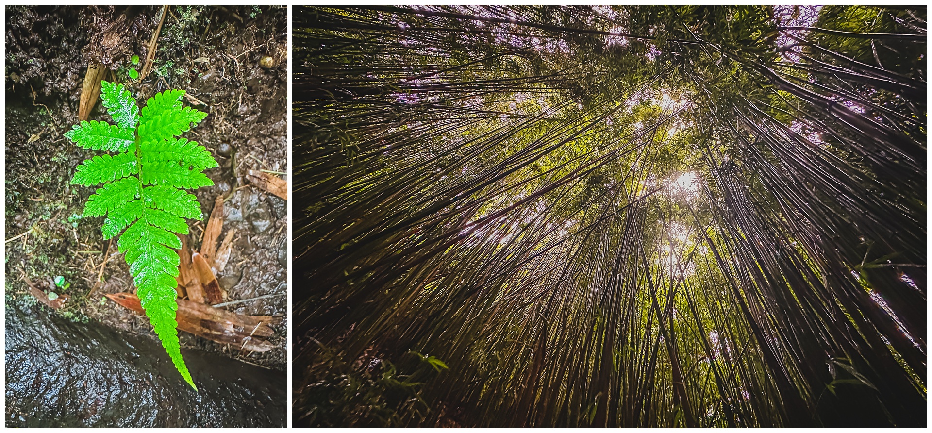
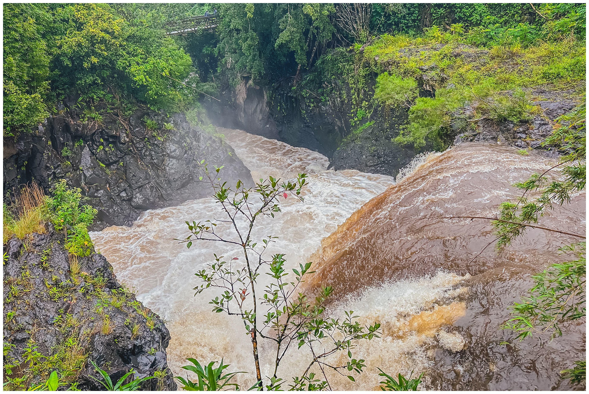
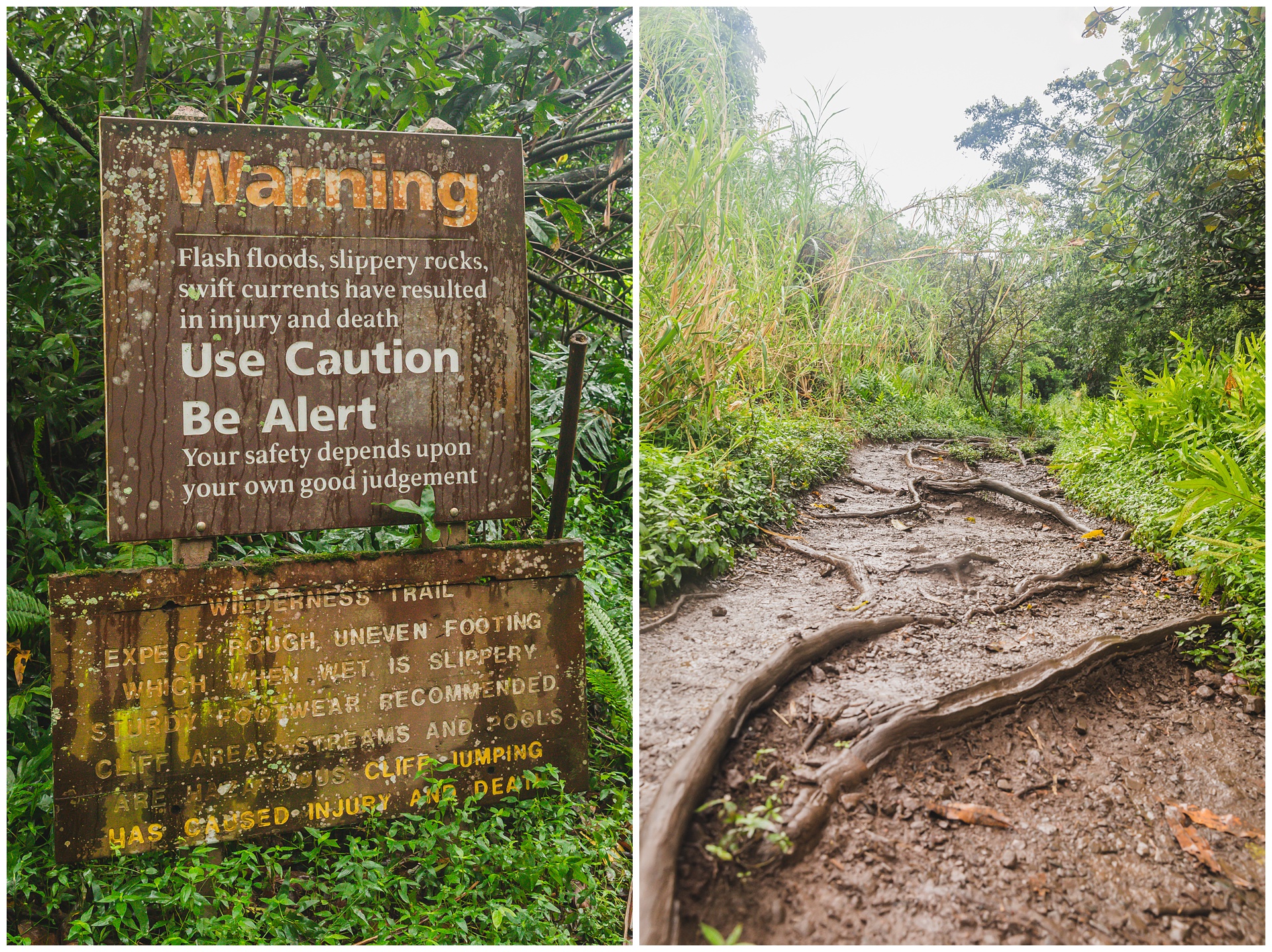
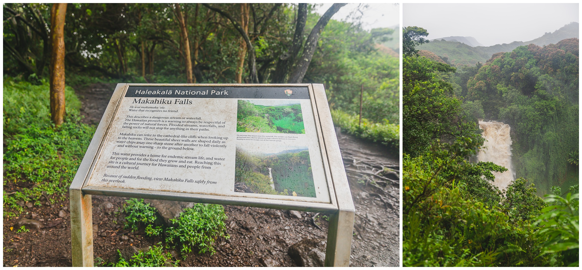
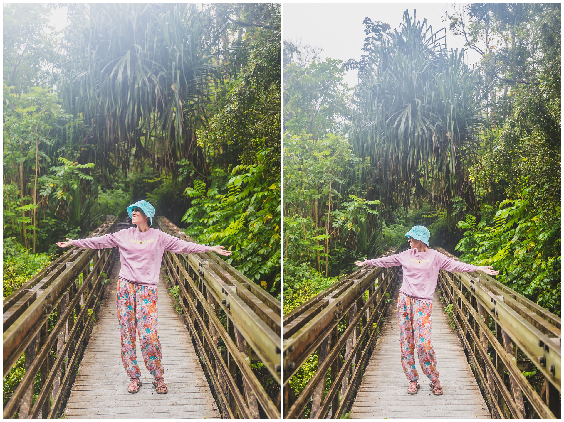 With an impending flight check-in necessitating that we find cell service, plus a 6 p.m. deadline for checking in at our Airbnb, we managed just more than half of this 4-mile hike – thus not making the falls at the end. But this day was certainly not short on waterfalls or falling water in general! And I found this sign that we passed on our way back to Hana especially fitting:
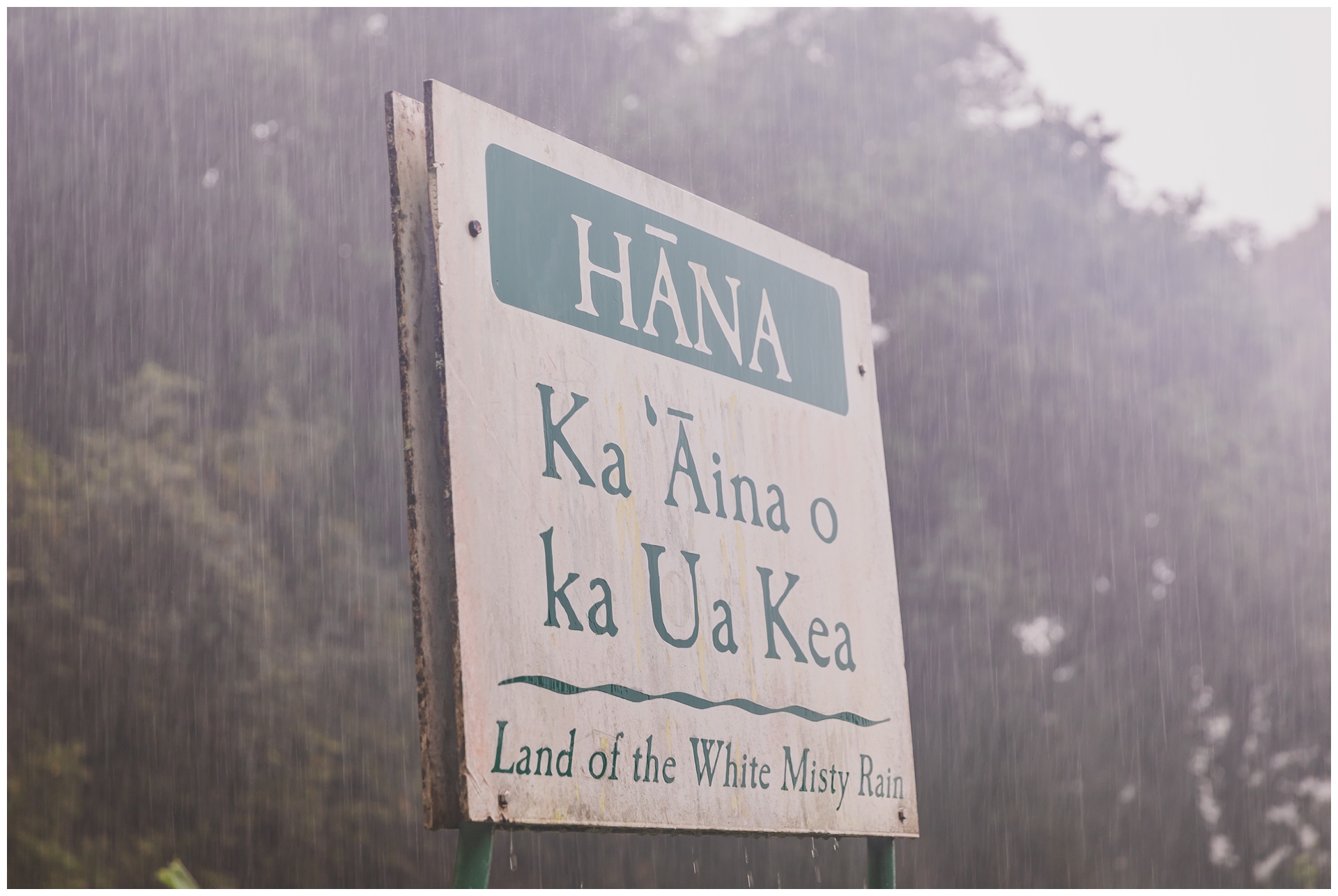
day 5 • 01.28.23 • maui
Wai’anapanapa Black Sand Beach & Road to Hana return trip
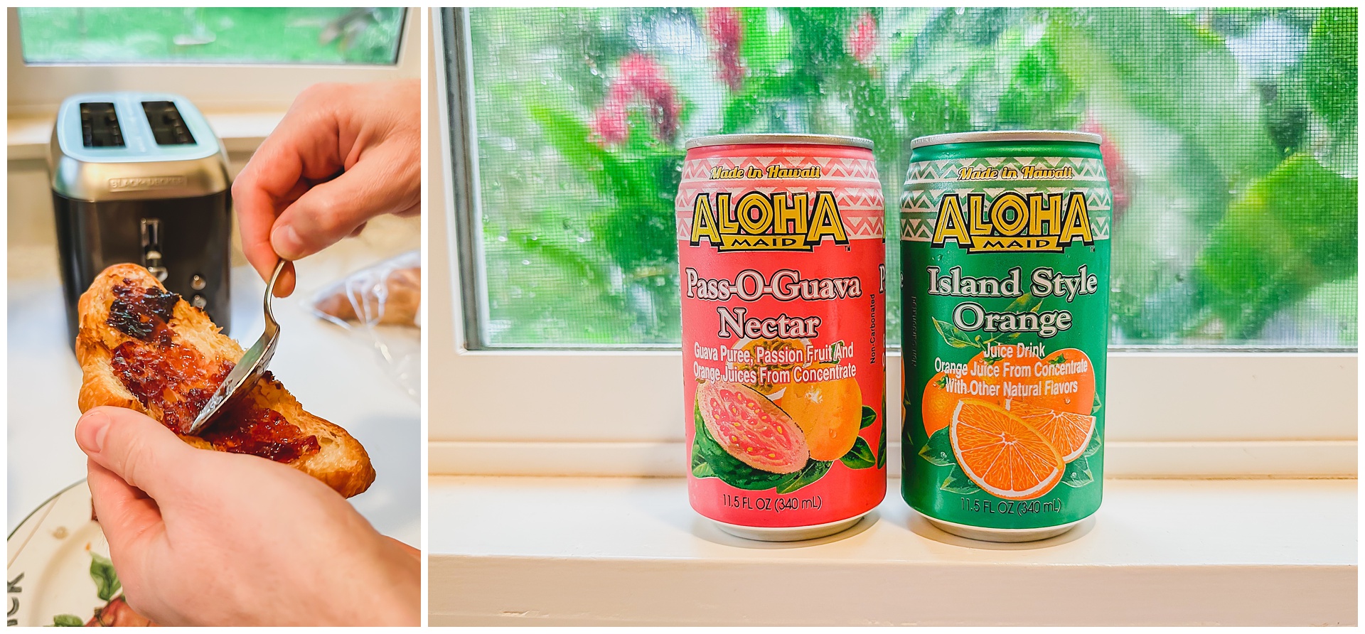
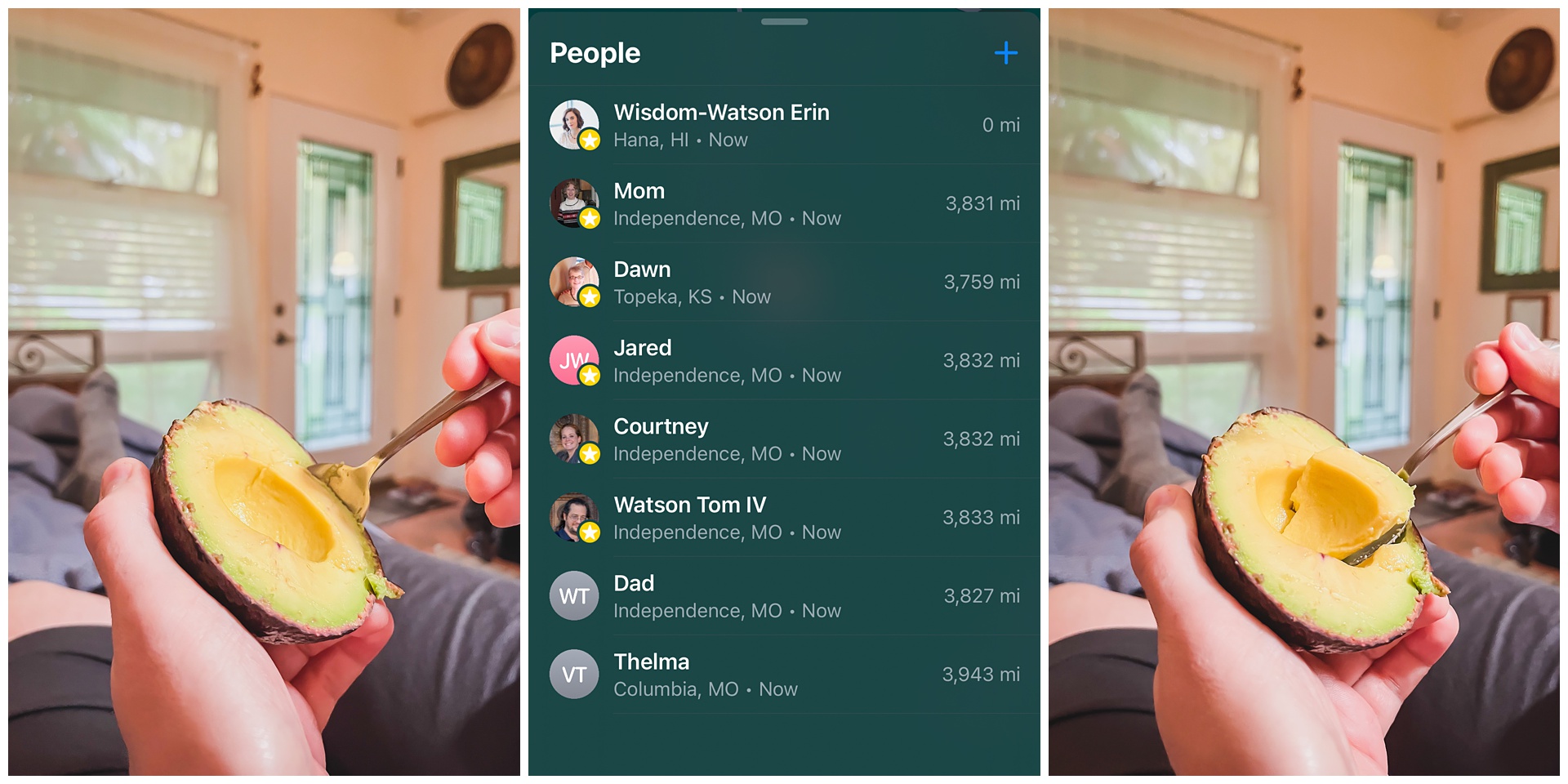 For the first time this trip, we were able to enjoy a bit of a leisurely breakfast and take note of exactly how far we were from family at home (as evidenced by the above screenshot from Seth’s phone!).
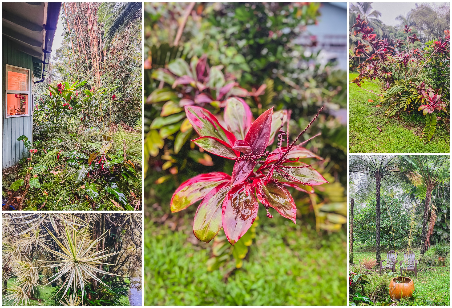
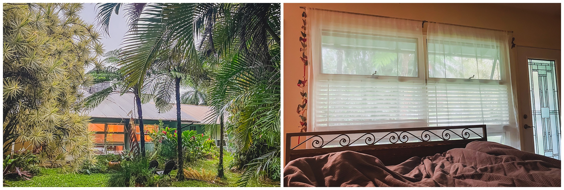
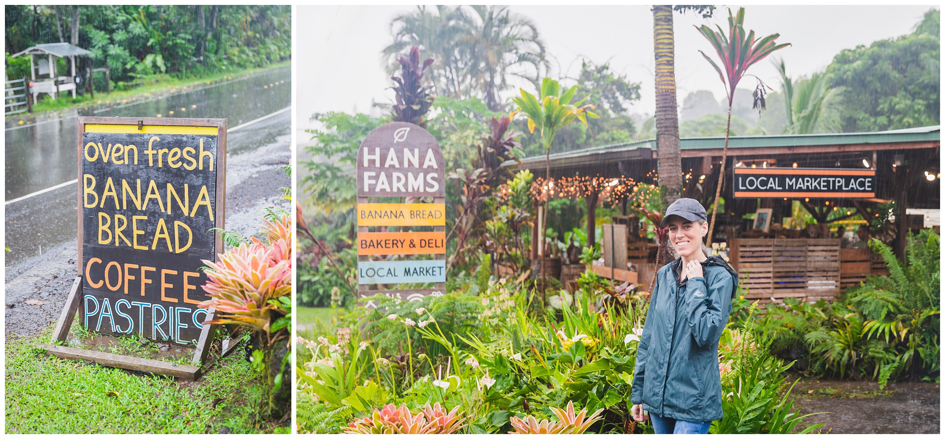
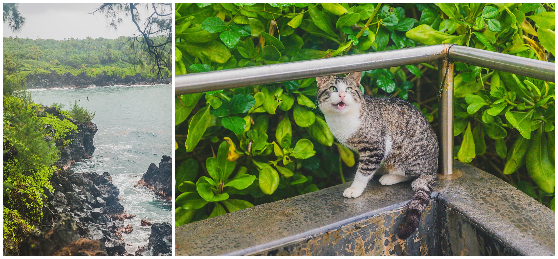
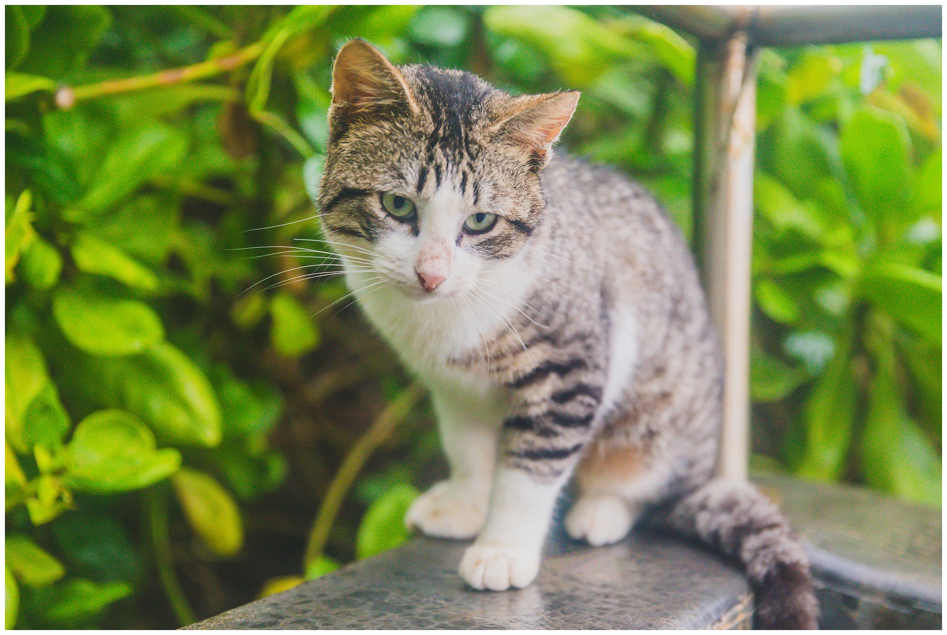
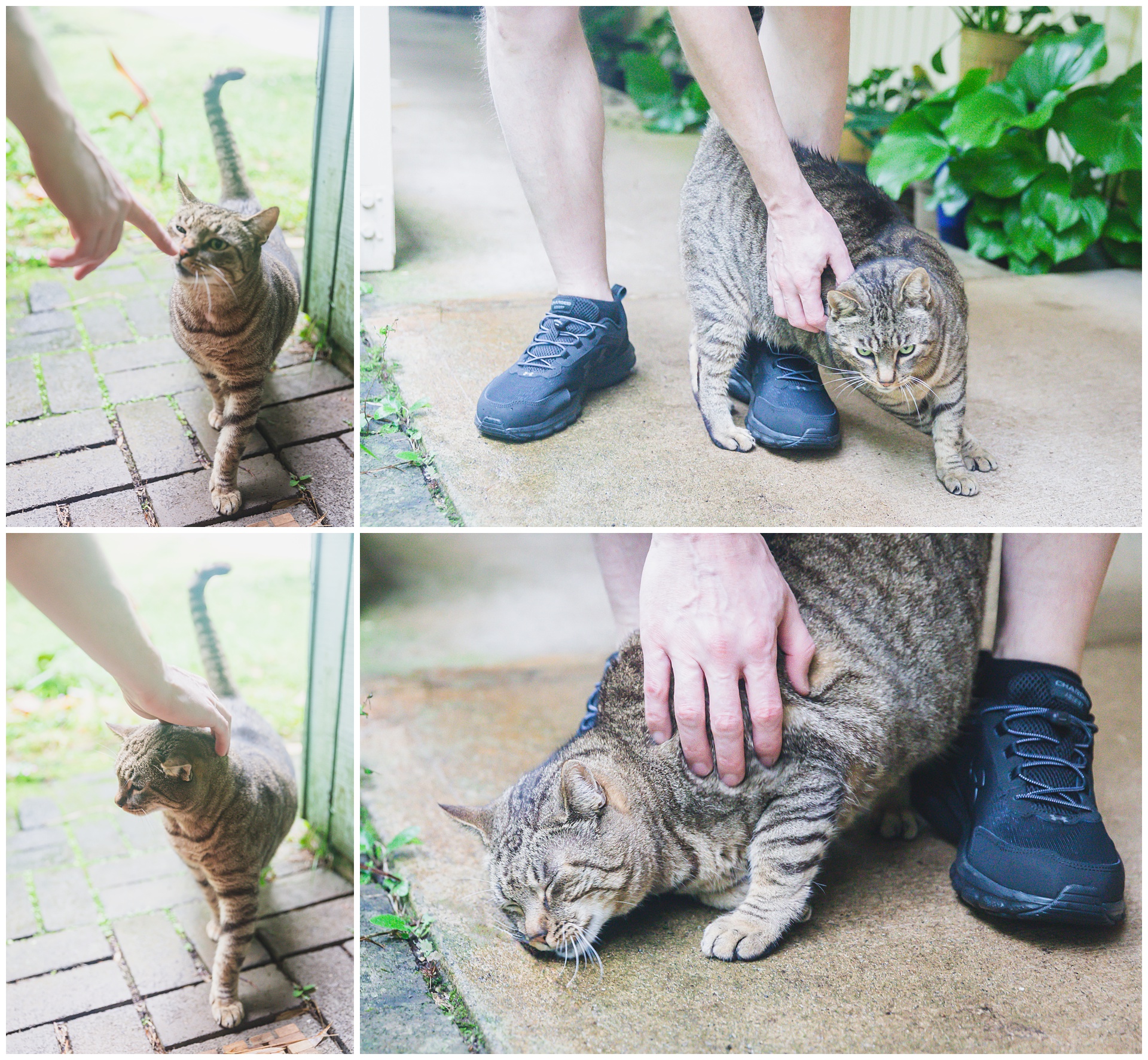 We then left our Airbnb (which came complete with a rather aggressively affectionate cat) and made our way to one last iconic spot along the Road to Hana (or two, if you count the cute roadside stand below).
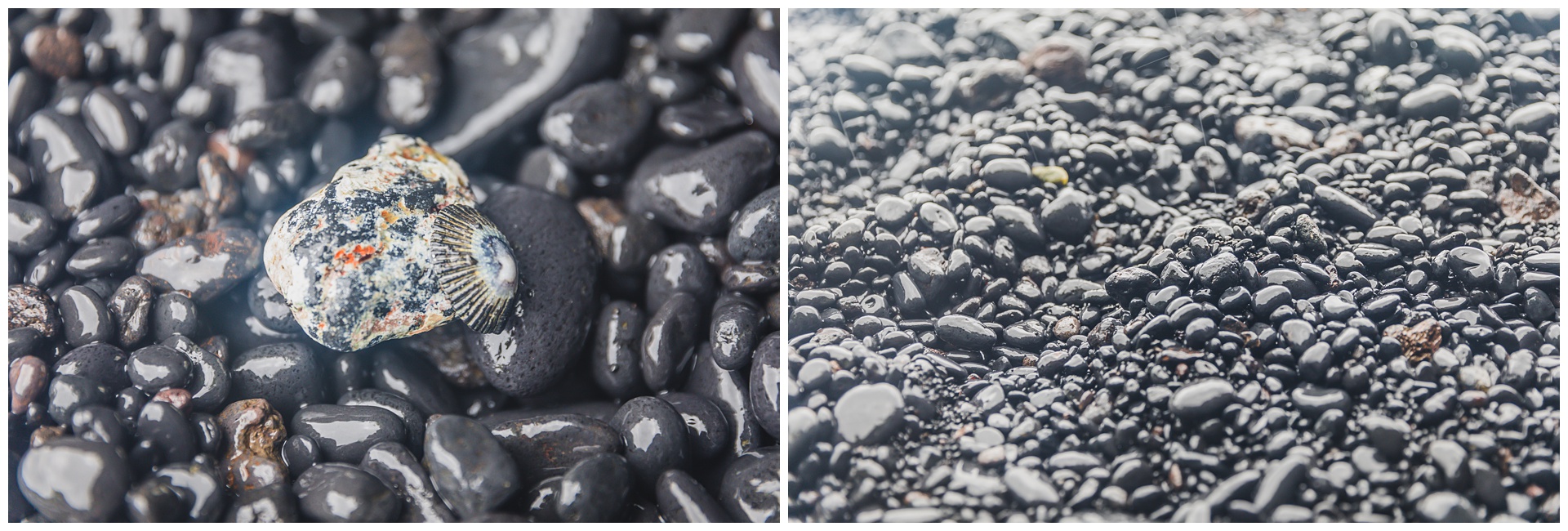
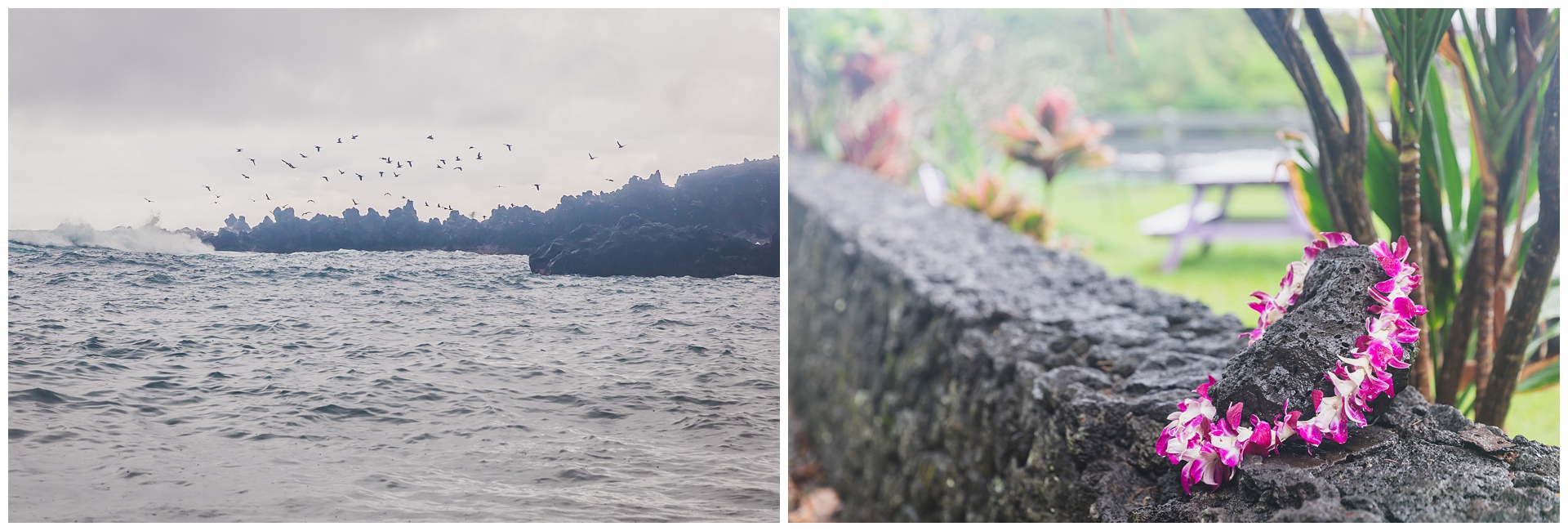
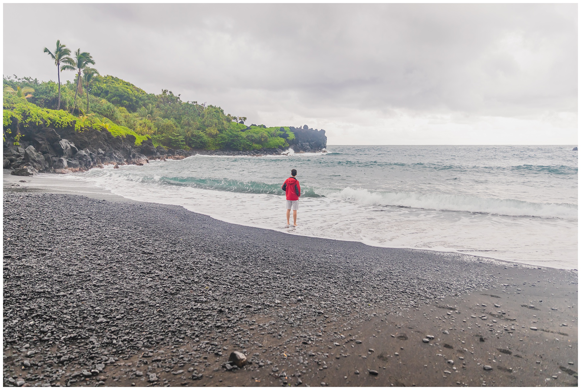 Wai’anapanapa State Park is famous for its volcanic coast, panoramic views and Maui’s only black sand beach, created by Haleakalā. The sand formed from lava that cooled into basalt – a dark, fine volcanic rock.
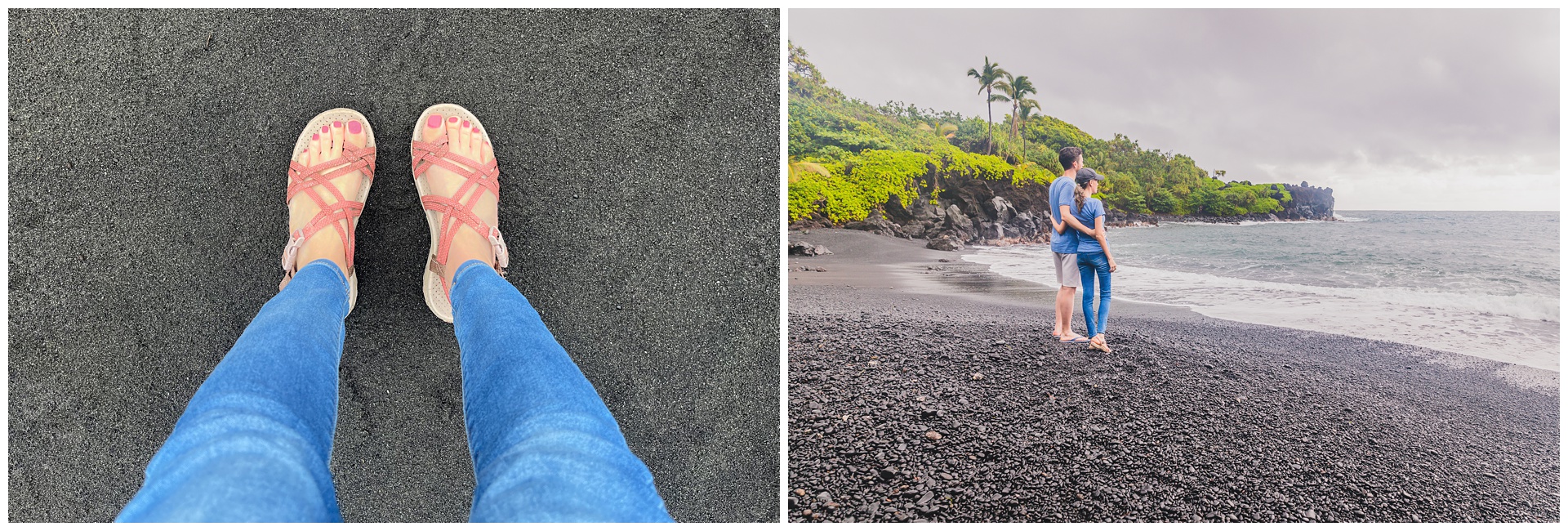
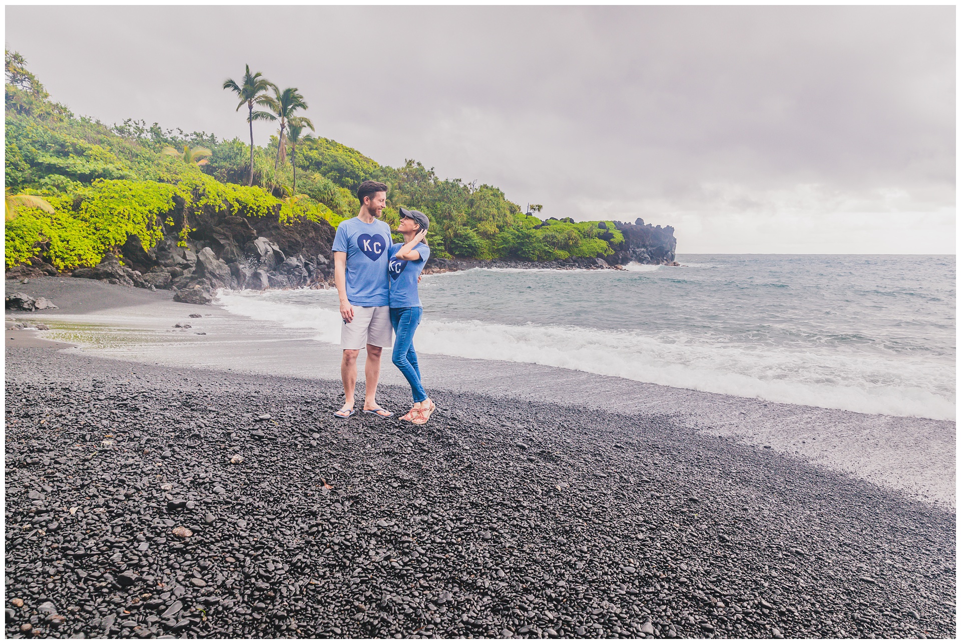 It seemed fitting to wear our KC shirts on this black sand beach, since we’d also worn them on white sand (during our visit almost a year before to White Sands National Park)!
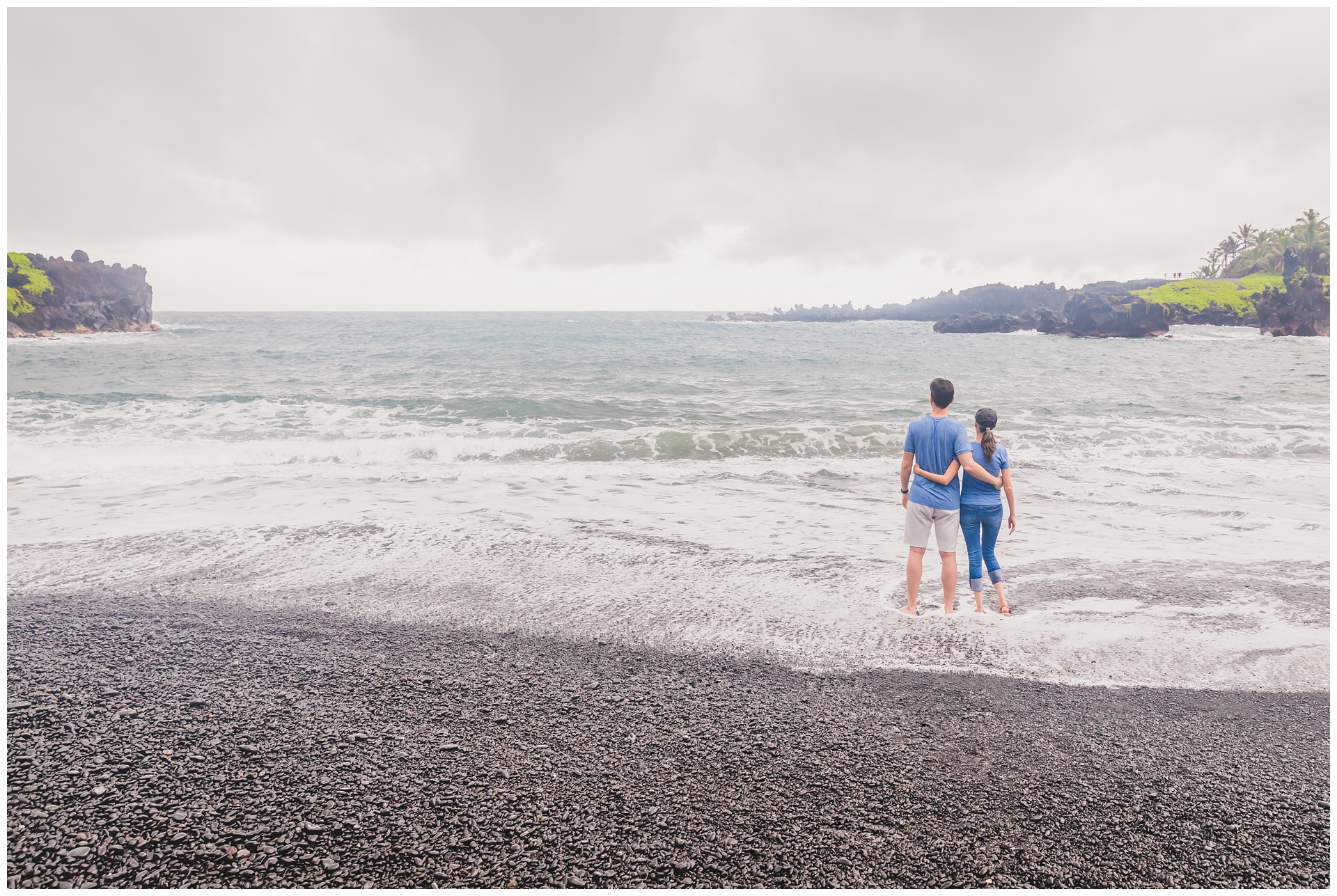

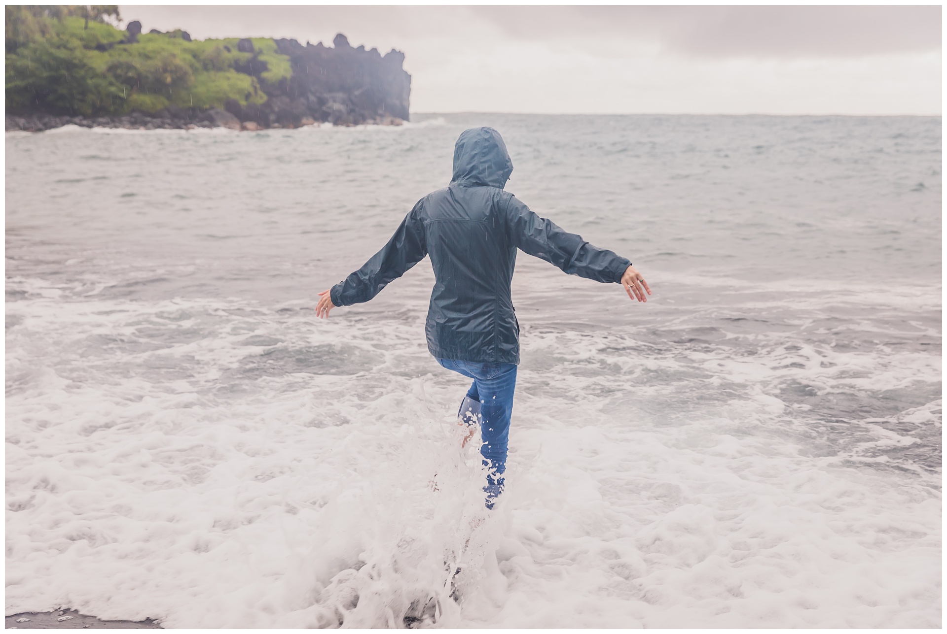
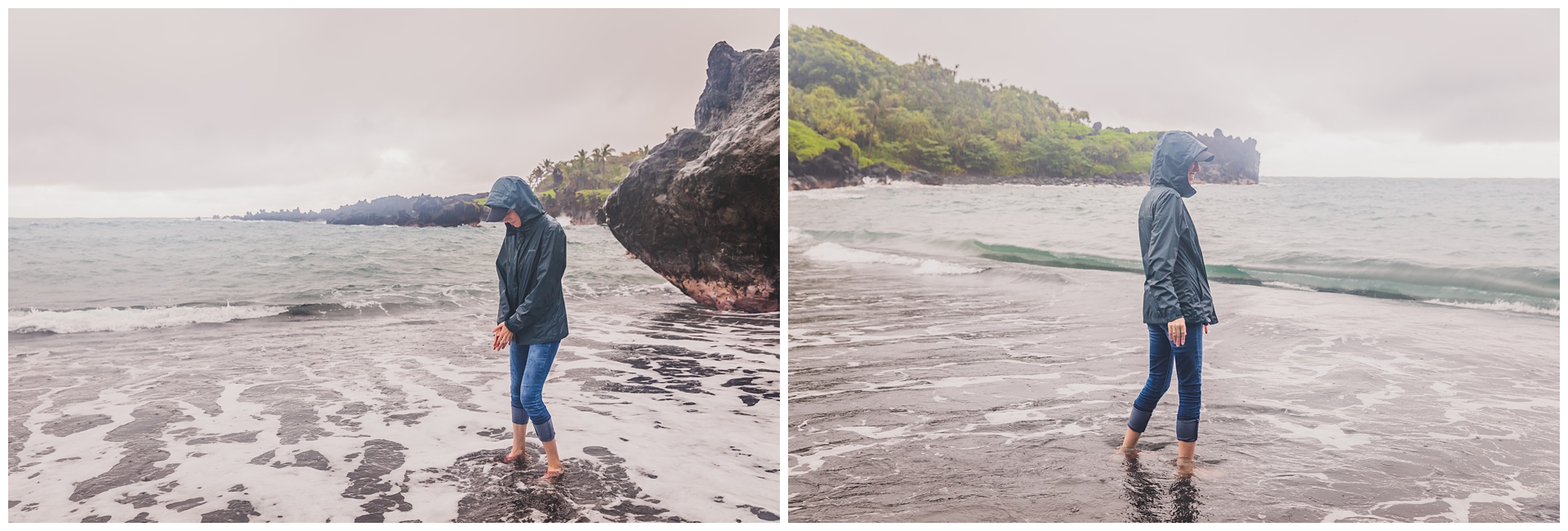
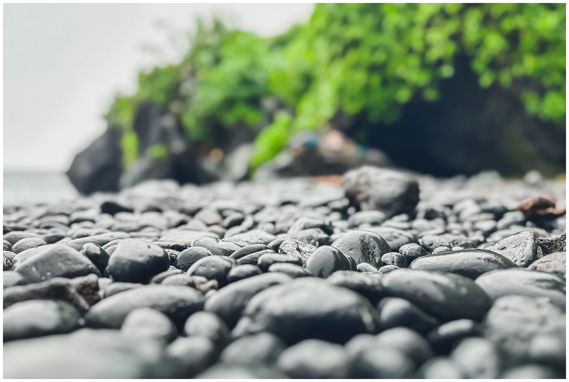
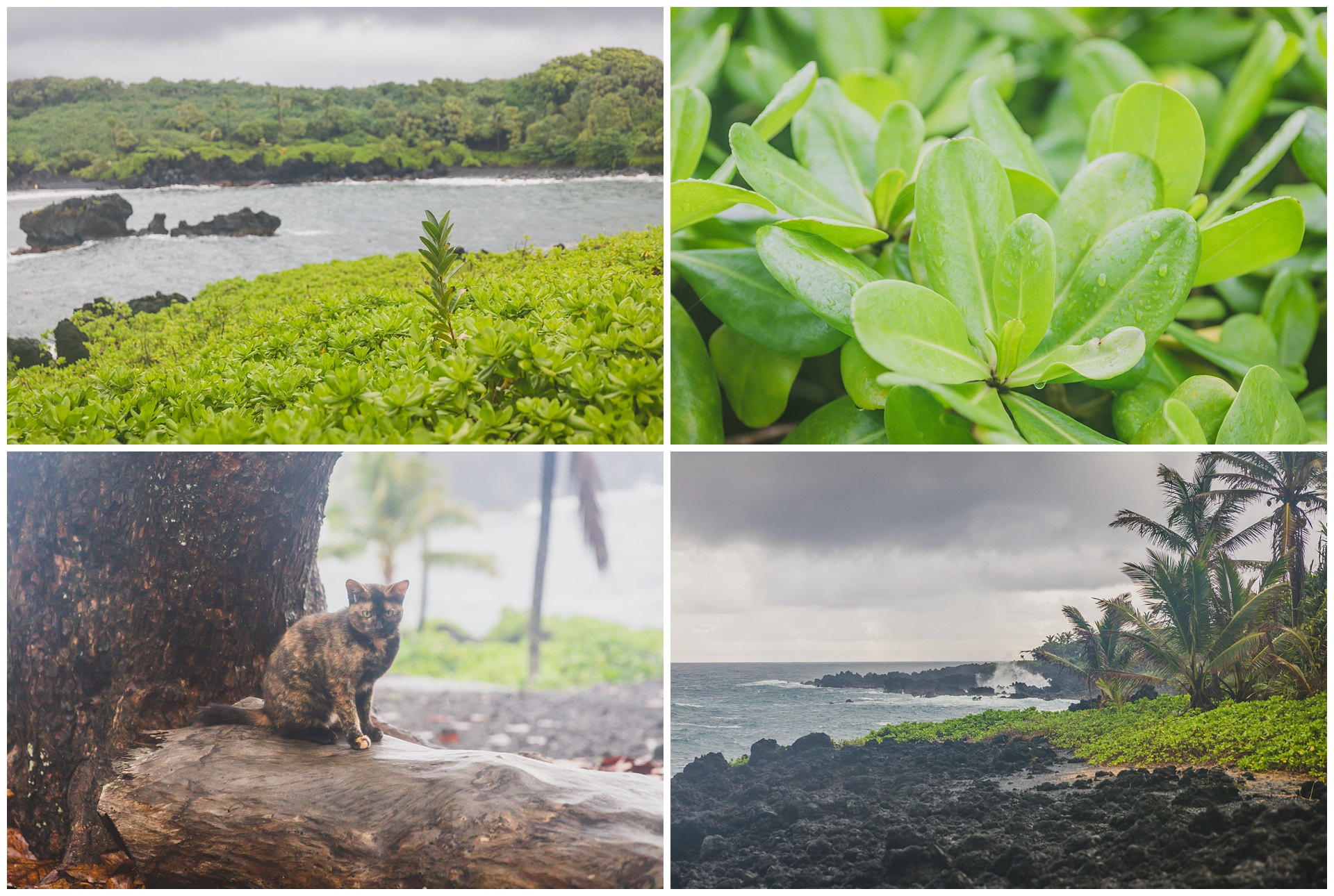
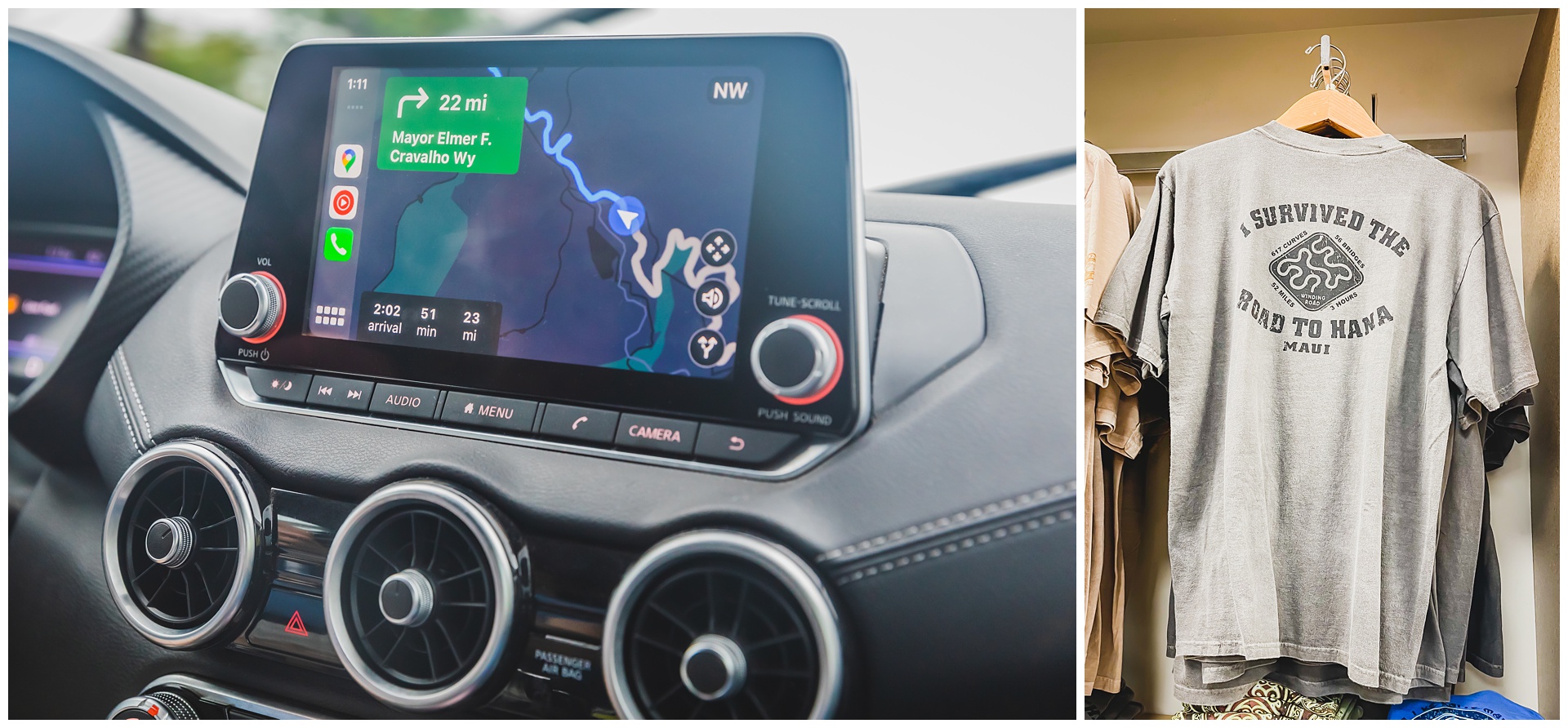
 We didn’t stay for quite all of our two-hour reservation at the beach, as we needed to allow plenty of time for getting to the airport in Kahului – once again driving the winding Hana Highway in monsoon conditions! I’d worried the weather might keep us from getting to Hana or from returning in time for our flight, but fortunately we completed the trip as planned. And we felt we’d definitely earned some apparel like this T-shirt at the airport:
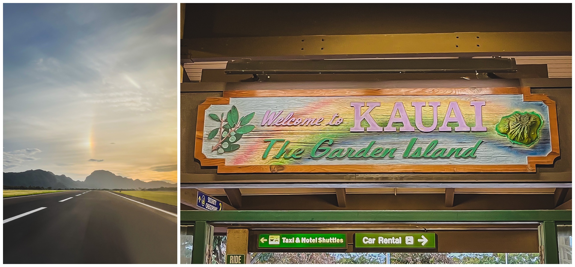
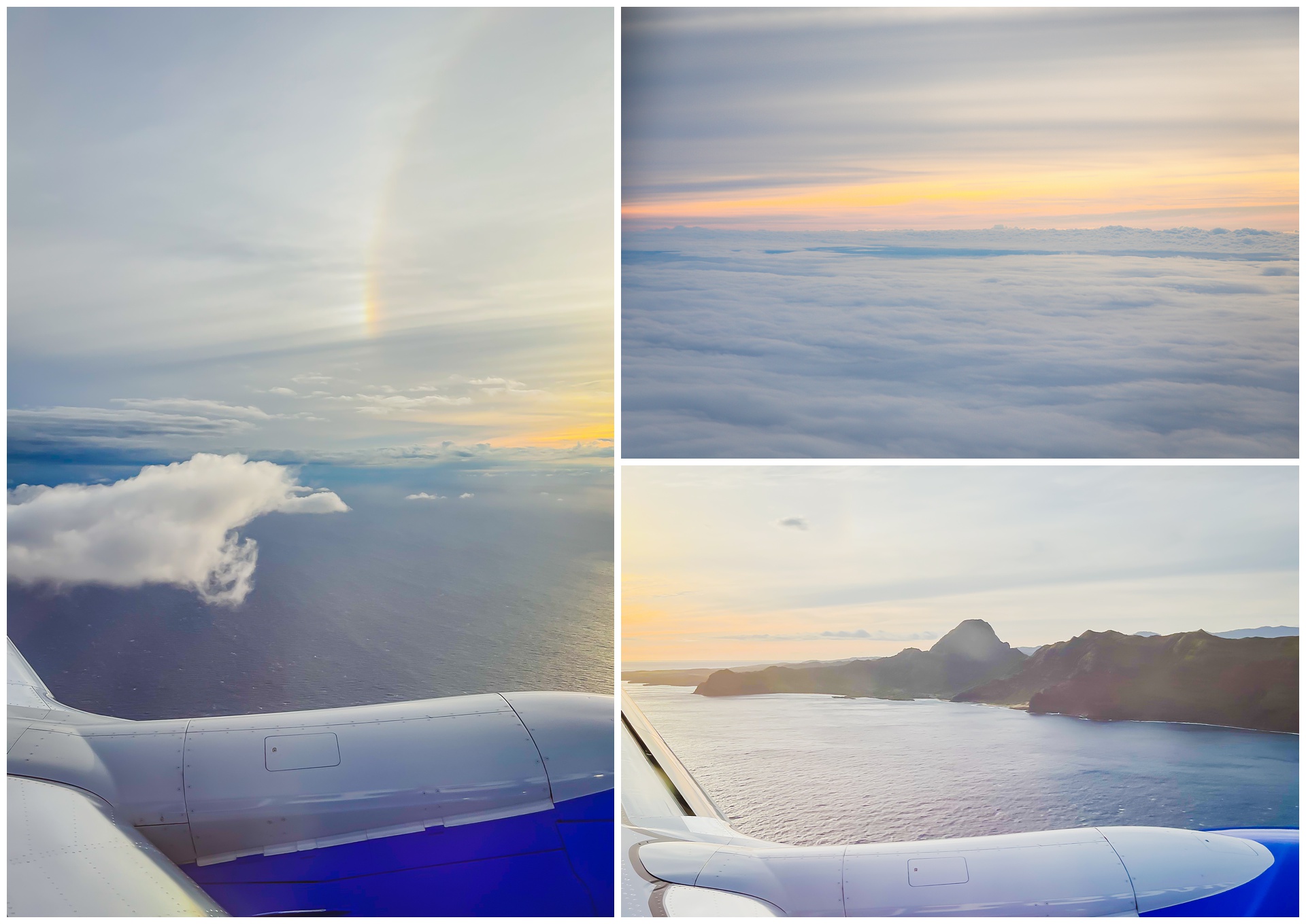 Next up on our itinerary was the island of Kauai. And it was so nice, after our rainy past two days, to have a rainbow welcome us as we arrived. Not pictured (as my pictures just didn’t do it justice) was that evening’s dinner – (literal) Hawaiian pizza that was literally the best pizza I’ve had in my life!
day 6 • 01.29.23 • kauai
state parks & a Pacific sunset
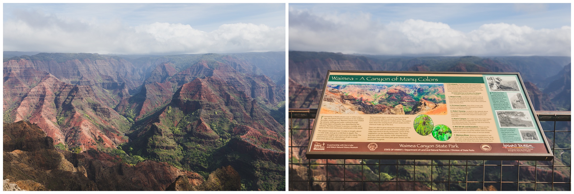
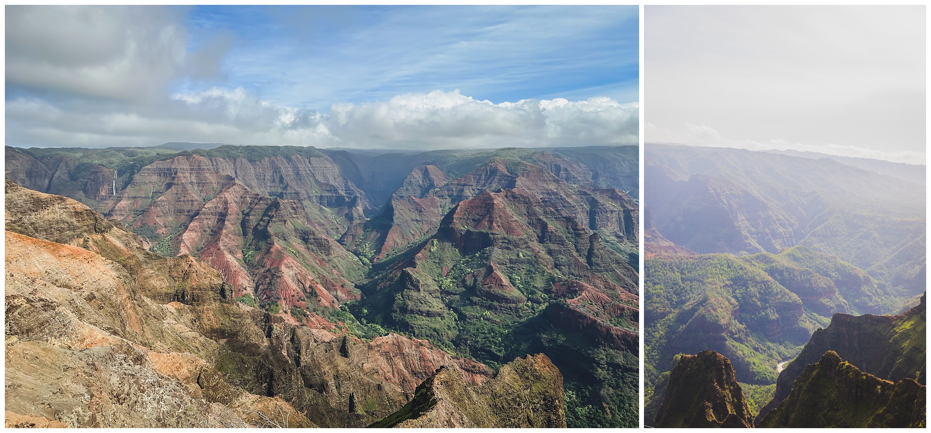
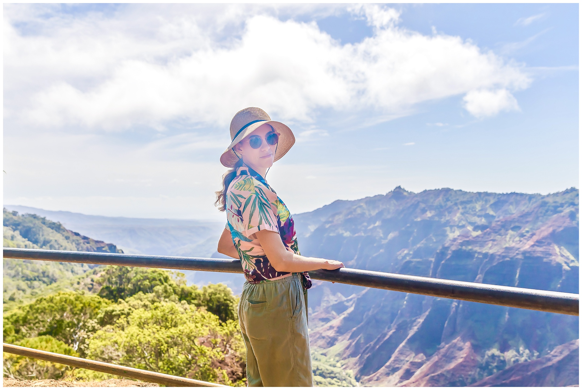
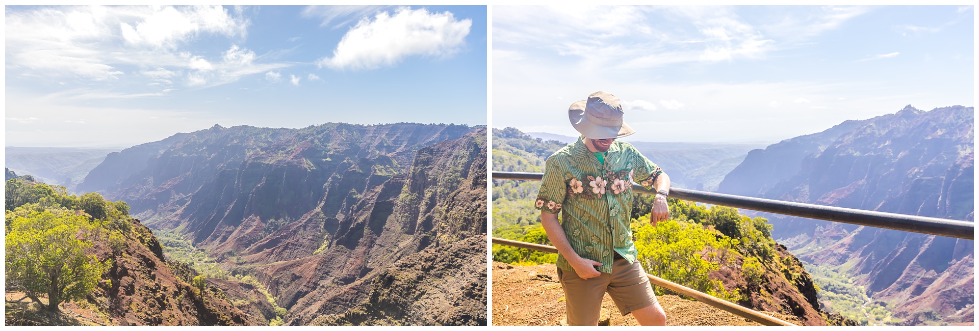
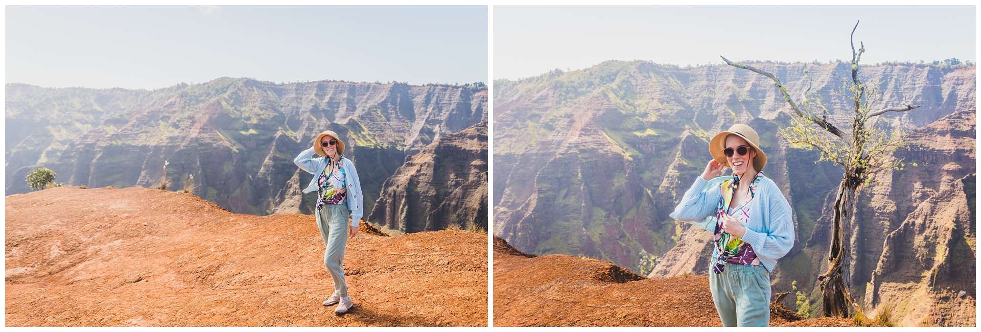
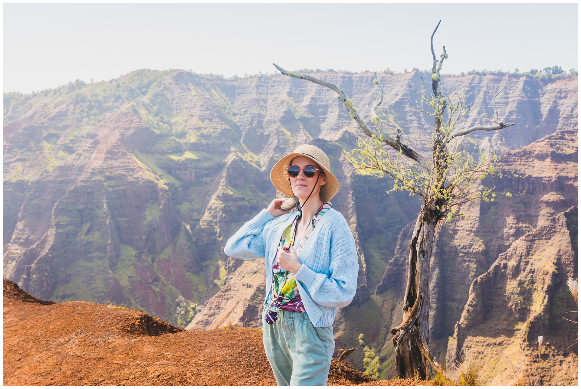
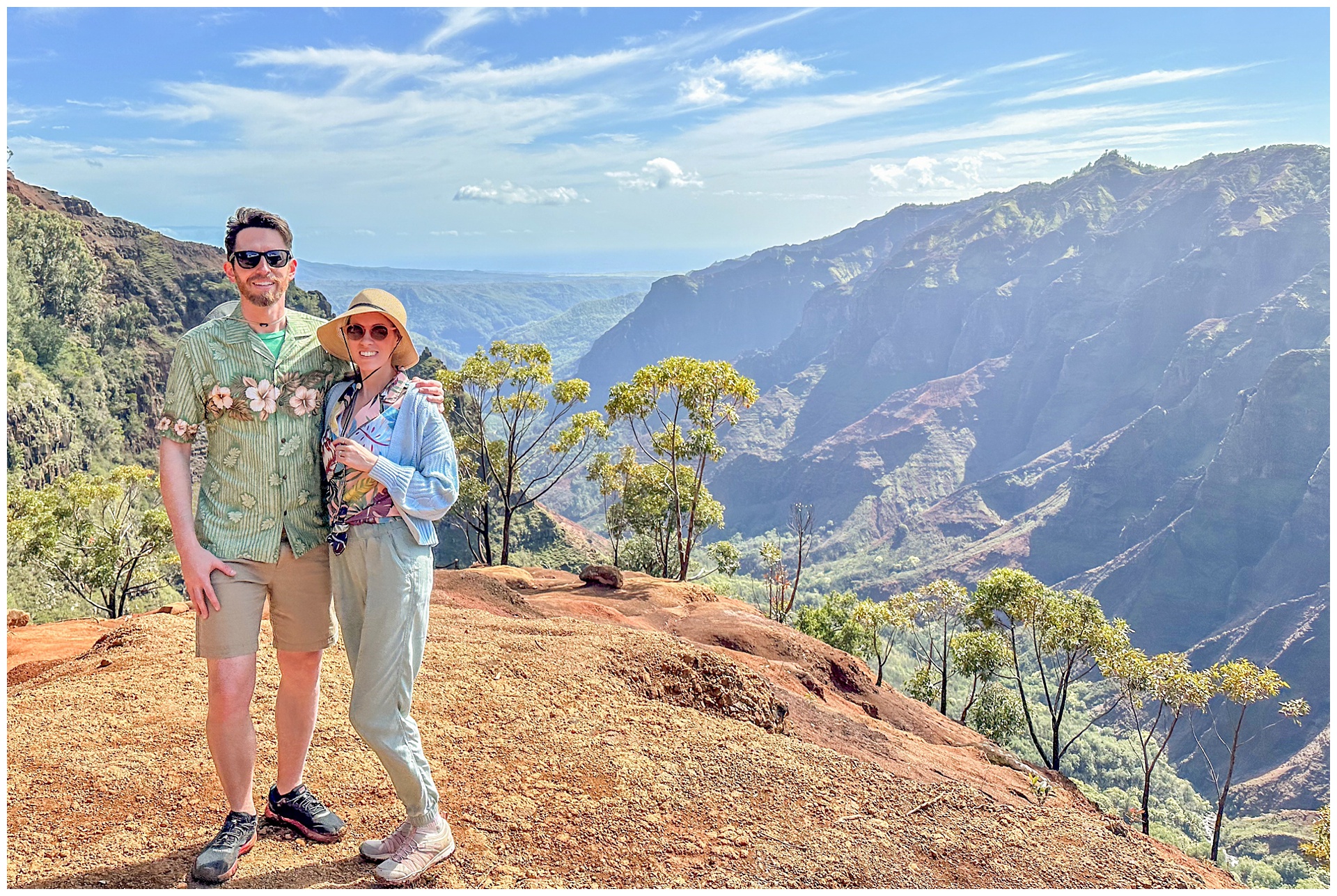
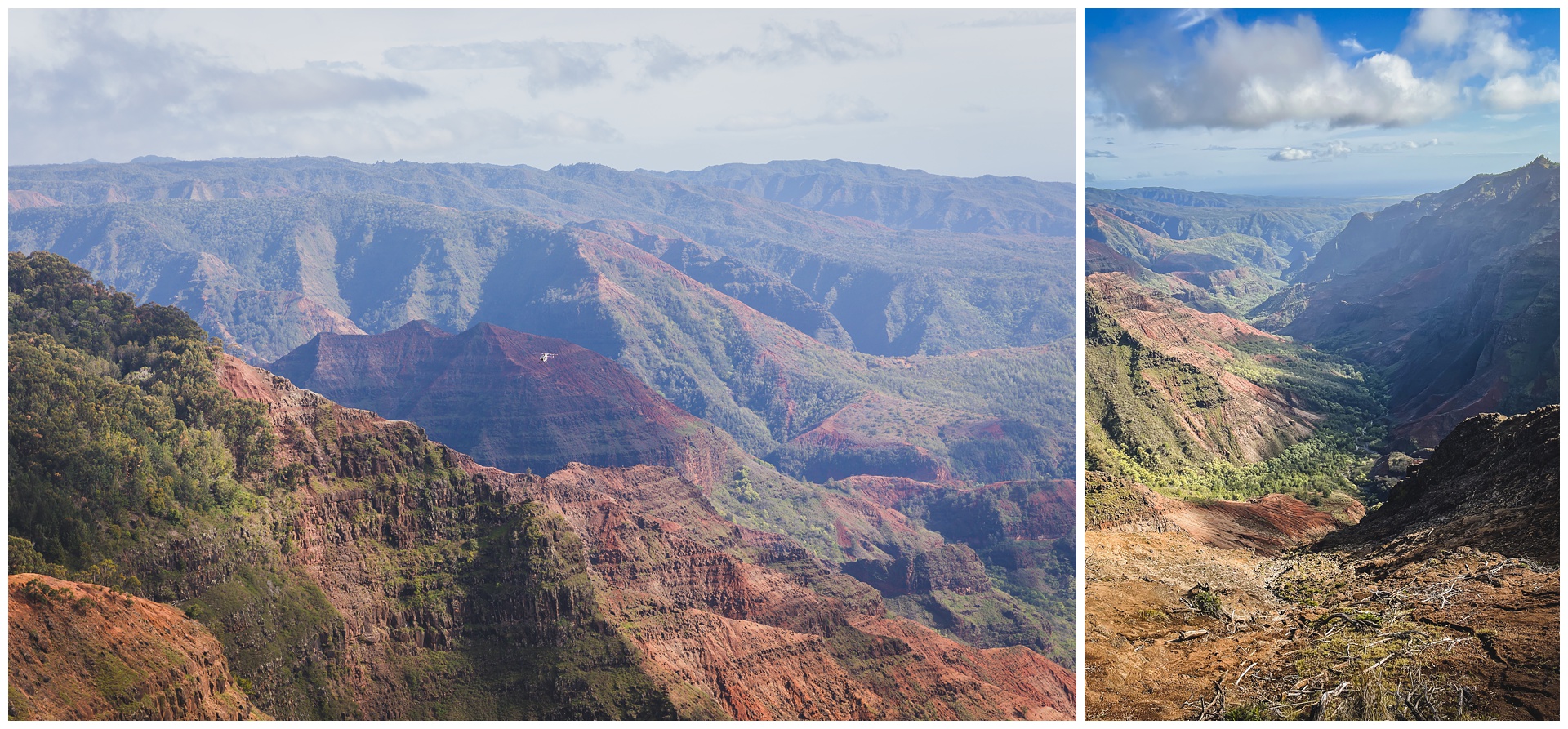
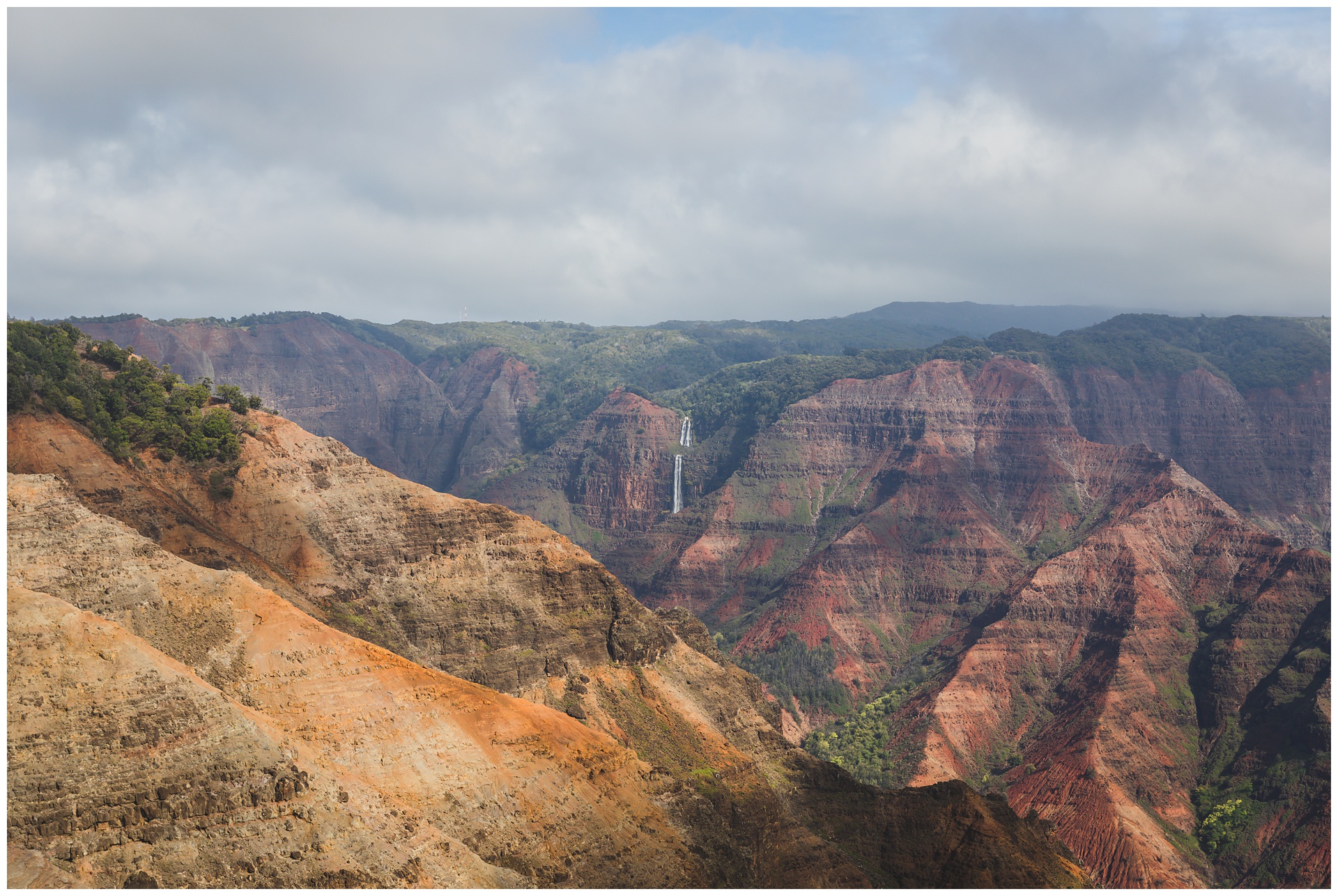 Up first this day was Waimea Canyon State Park on the west side of Kauai. Waimea is Hawaiian for “reddish water,” which references the erosion of the canyon’s red soil. That contrast between the soil and the surrounding green foliage is really striking, and so is the magnitude of this place – measuring 10 miles long and 3,000 feet deep in some places, which definitely explains Waimea’s designation as the Grand Canyon of the Pacific!
The view from Waimea Canyon Lookout was just stunning and included Wai’poo Falls, our next hiking destination. We’d be making our way to the brink of those falls – and it’s notable what a different perspective it was to see them and the canyon’s terrain from a distance vs. being in the thick of it all.
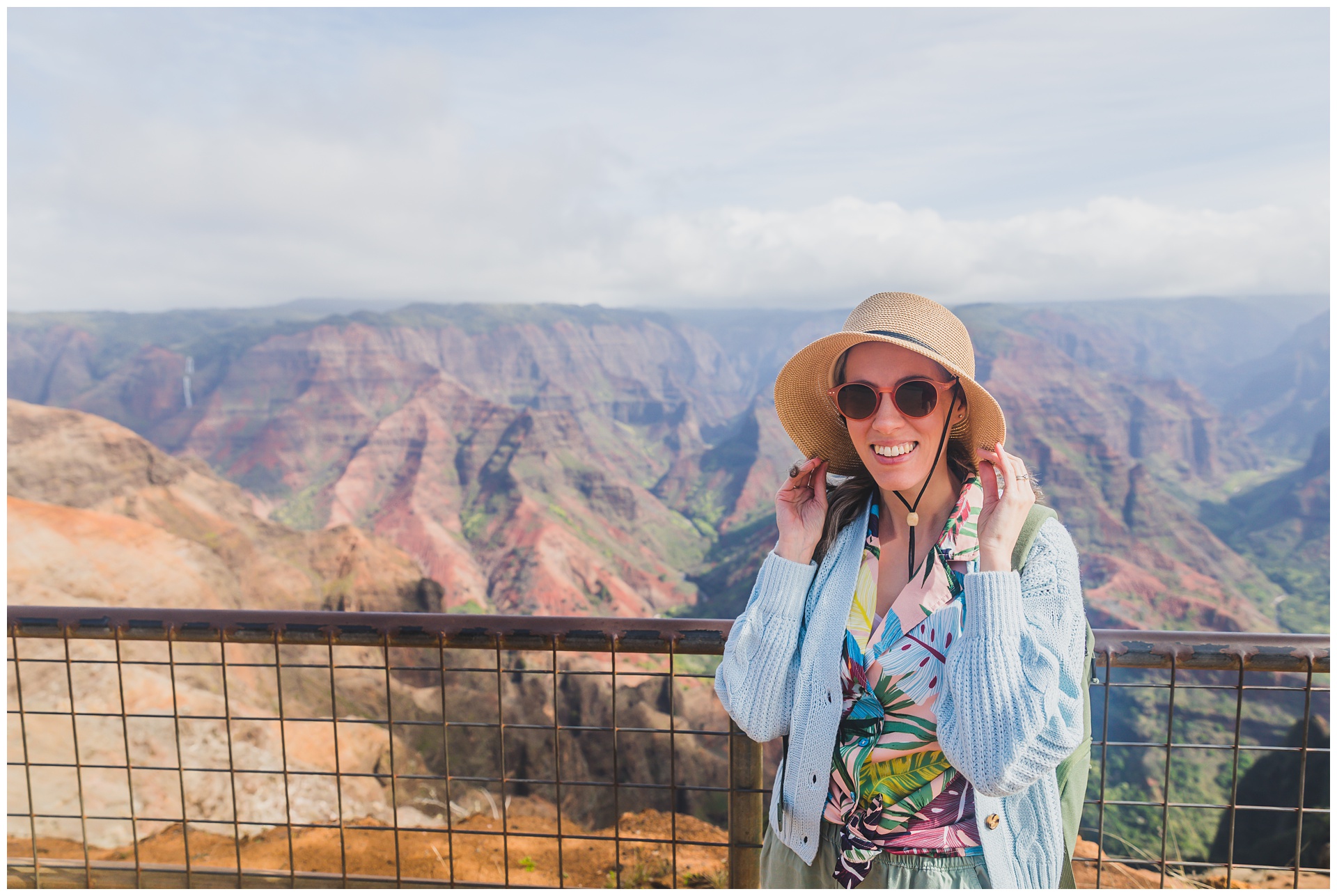
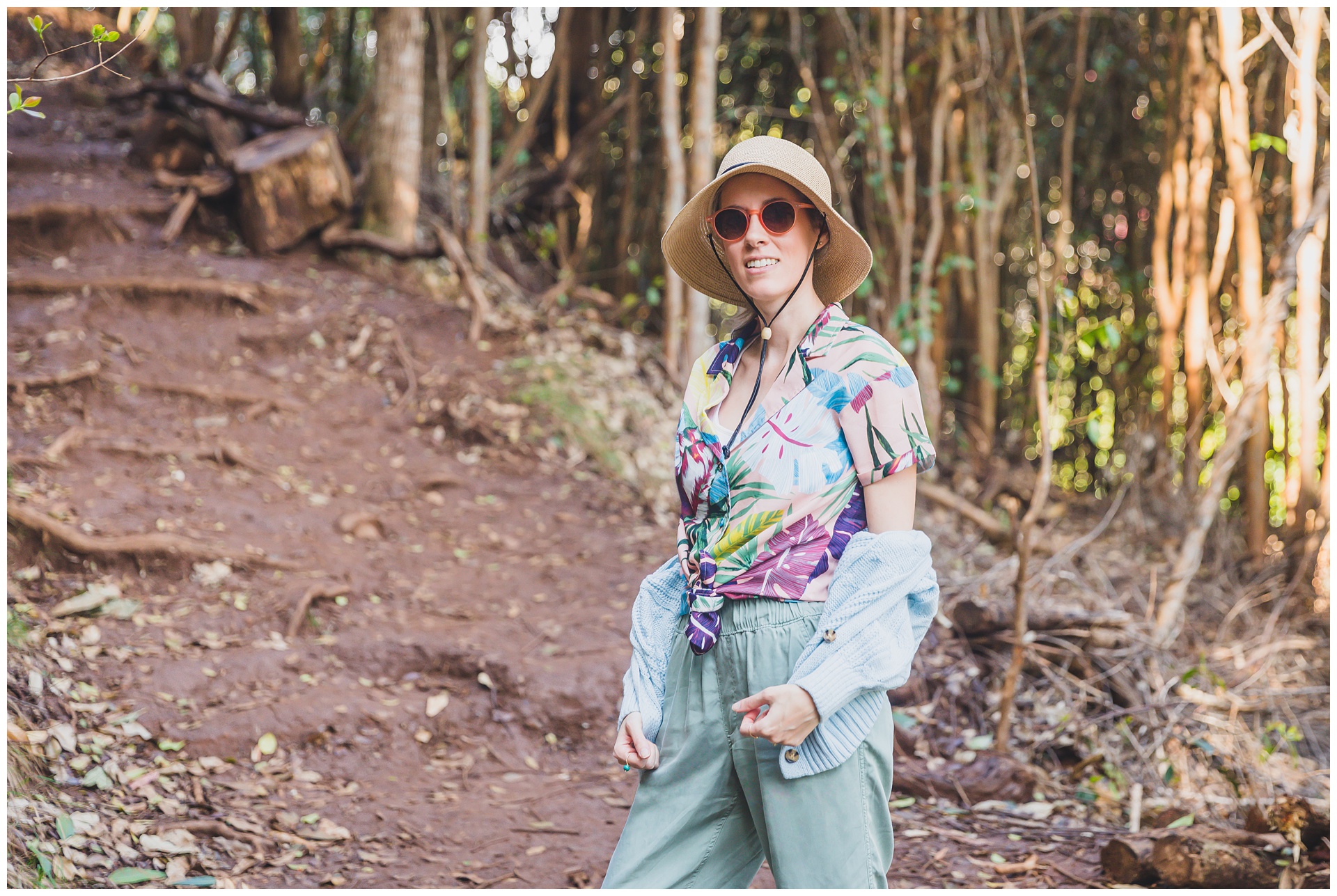
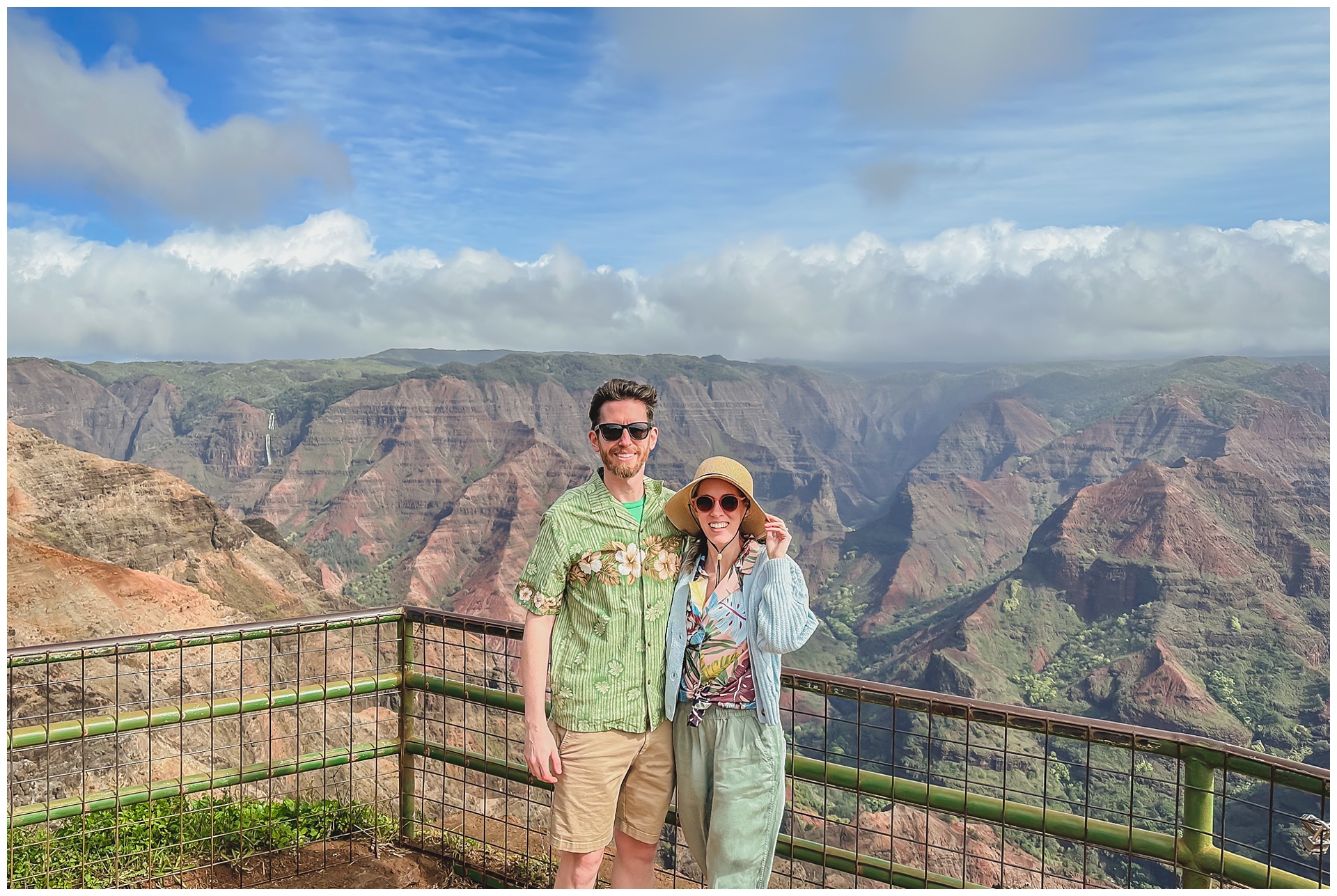 Although not typical hiking garb, I had us wear our Hawaiian shirts in hopes they’d go well with the canyon – and I think they really did! Mine is an Amazon find purchased just before this trip, but Seth’s actually is a souvenir from a previous Hawaii vacation.
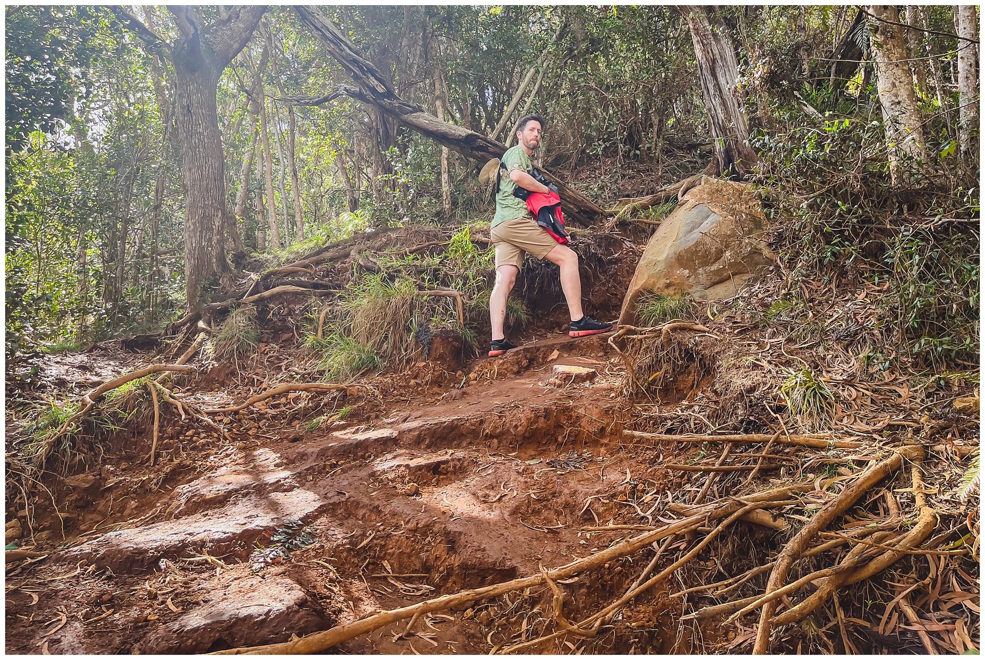
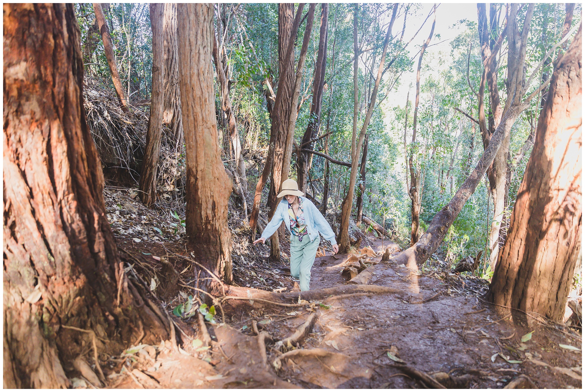
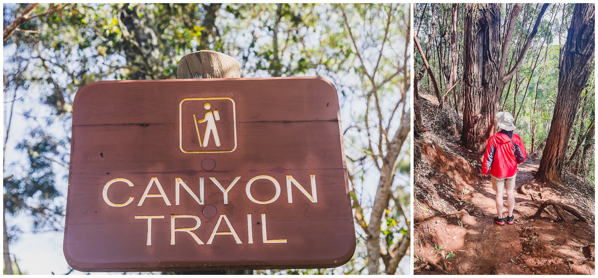 We next set out to descend into the canyon via the Canyon Trail. Although this 3.4-mile hike is classified as moderate difficulty, it was much more muddy and slippery than we’d expected – which definitely added to the challenge!
 Above: fungi and a fun guy.
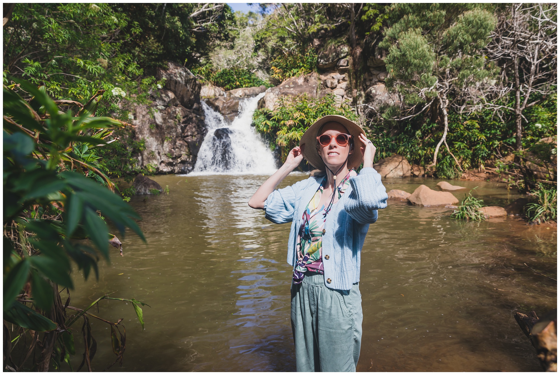
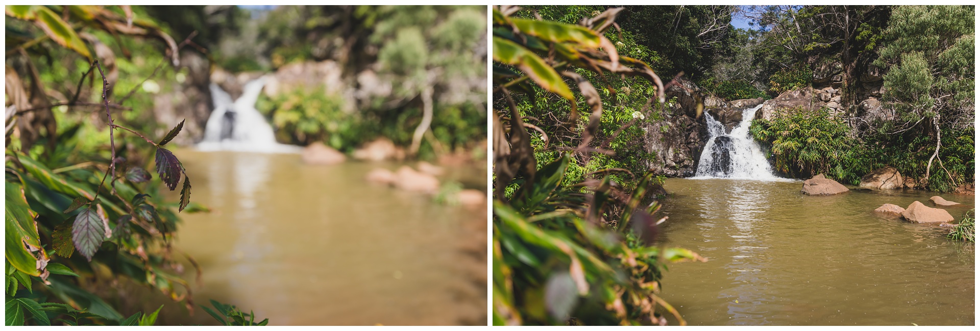
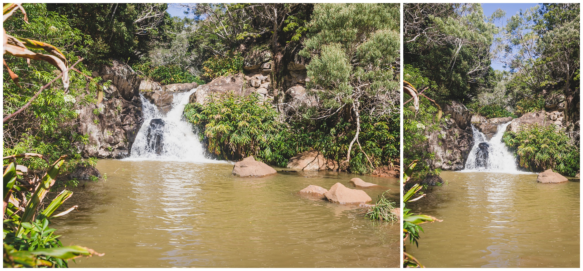 Before reaching Wai’poo Falls, we came to this smaller waterfall in a setting that was just so picture-perfect.
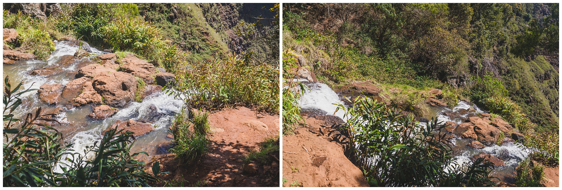
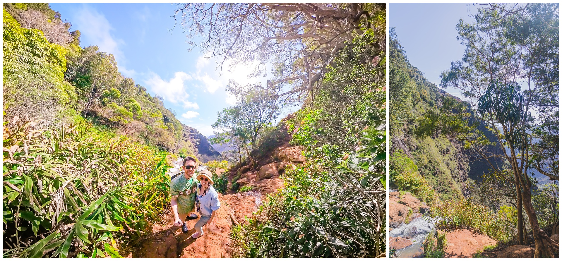 Finally we reached the brink of those falls we’d seen from such a distance earlier in the day!
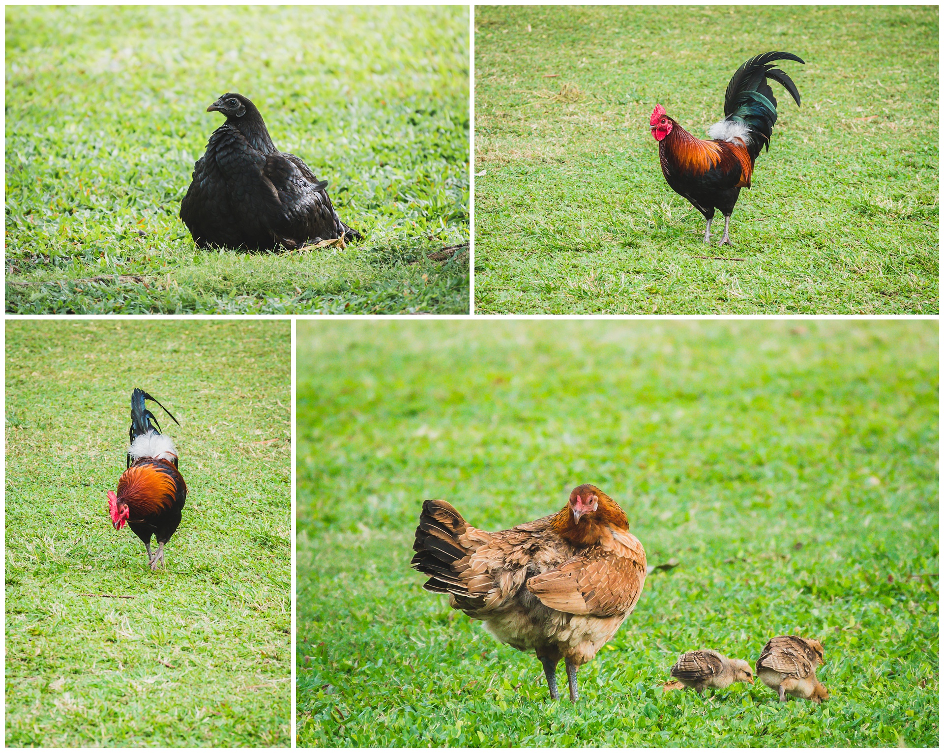
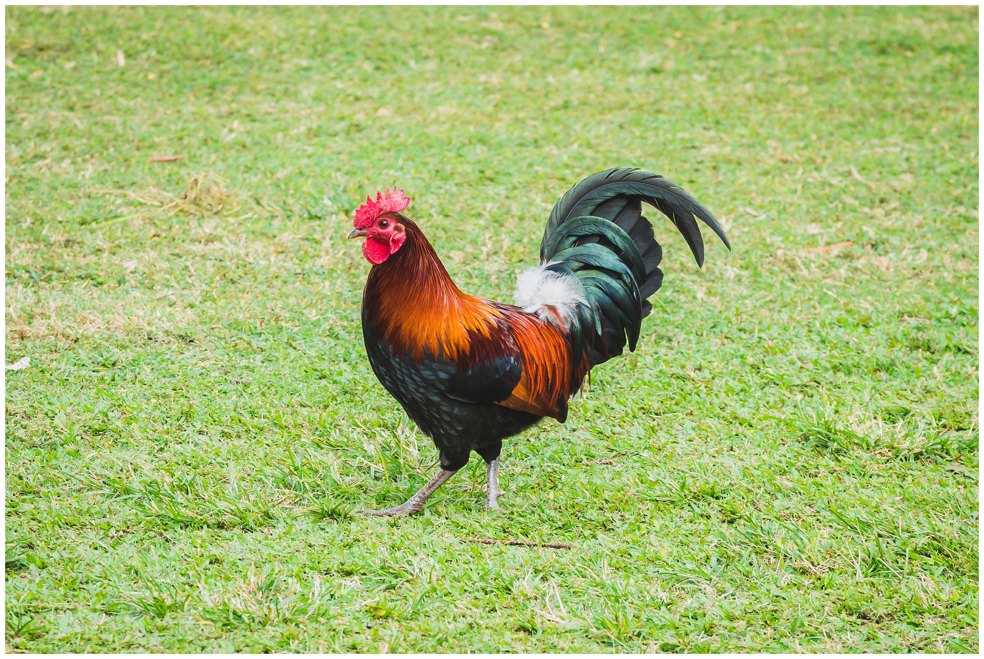
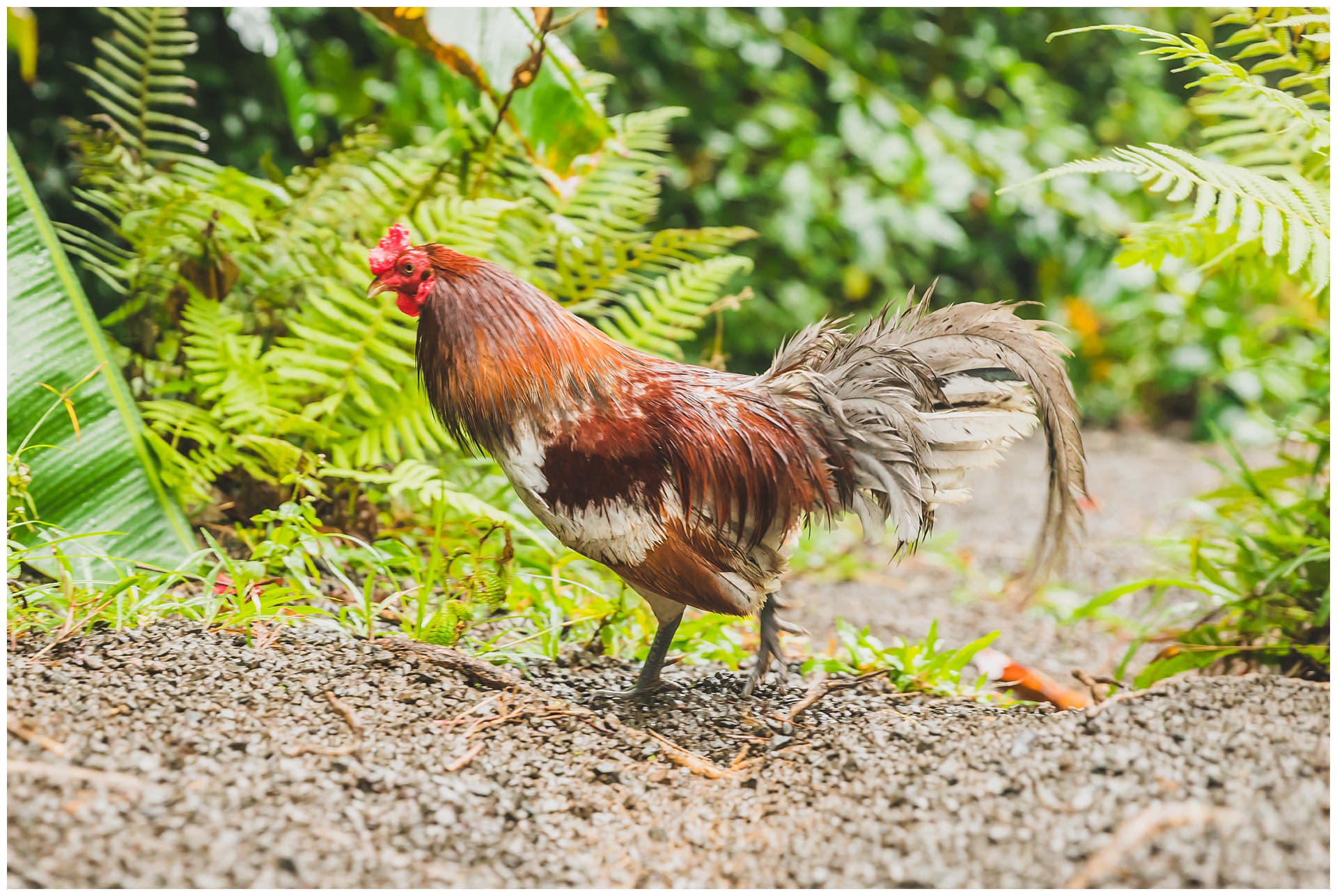
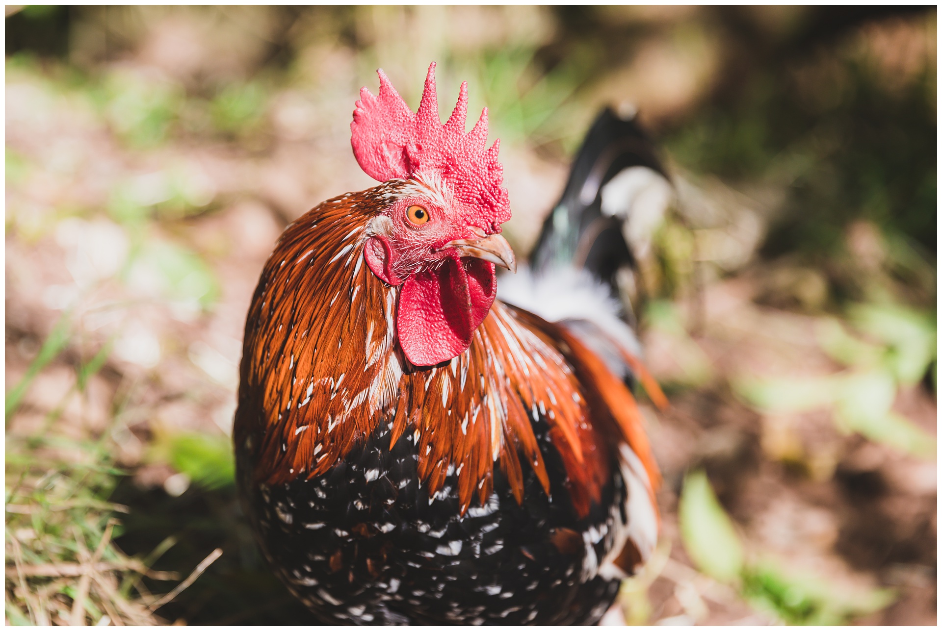
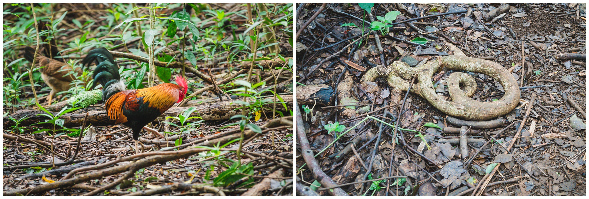
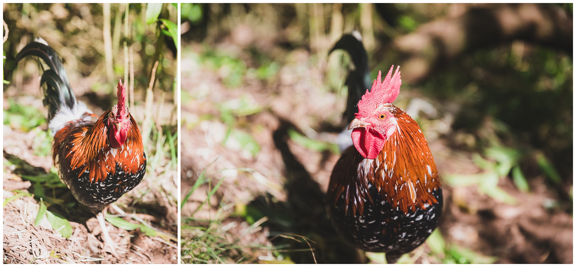 Hiking back up to the canyon rim, we encountered this rooster who was not at all shy about posing for photos. Feral chickens exist throughout Hawaii but are especially prevalent on Kauai, where many are thought to be descendants of chickens that escaped their enclosures during hurricanes in the ’80s and ’90s. They definitely take “free range” to another level!
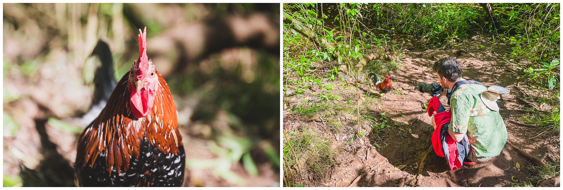
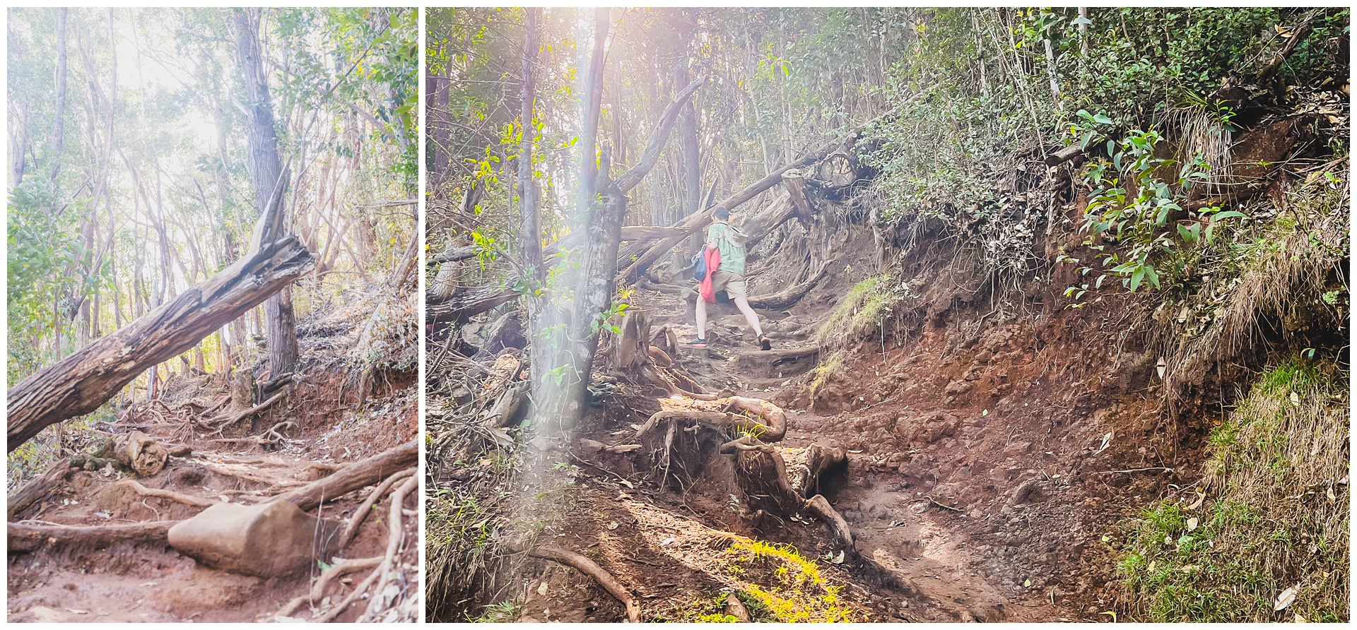
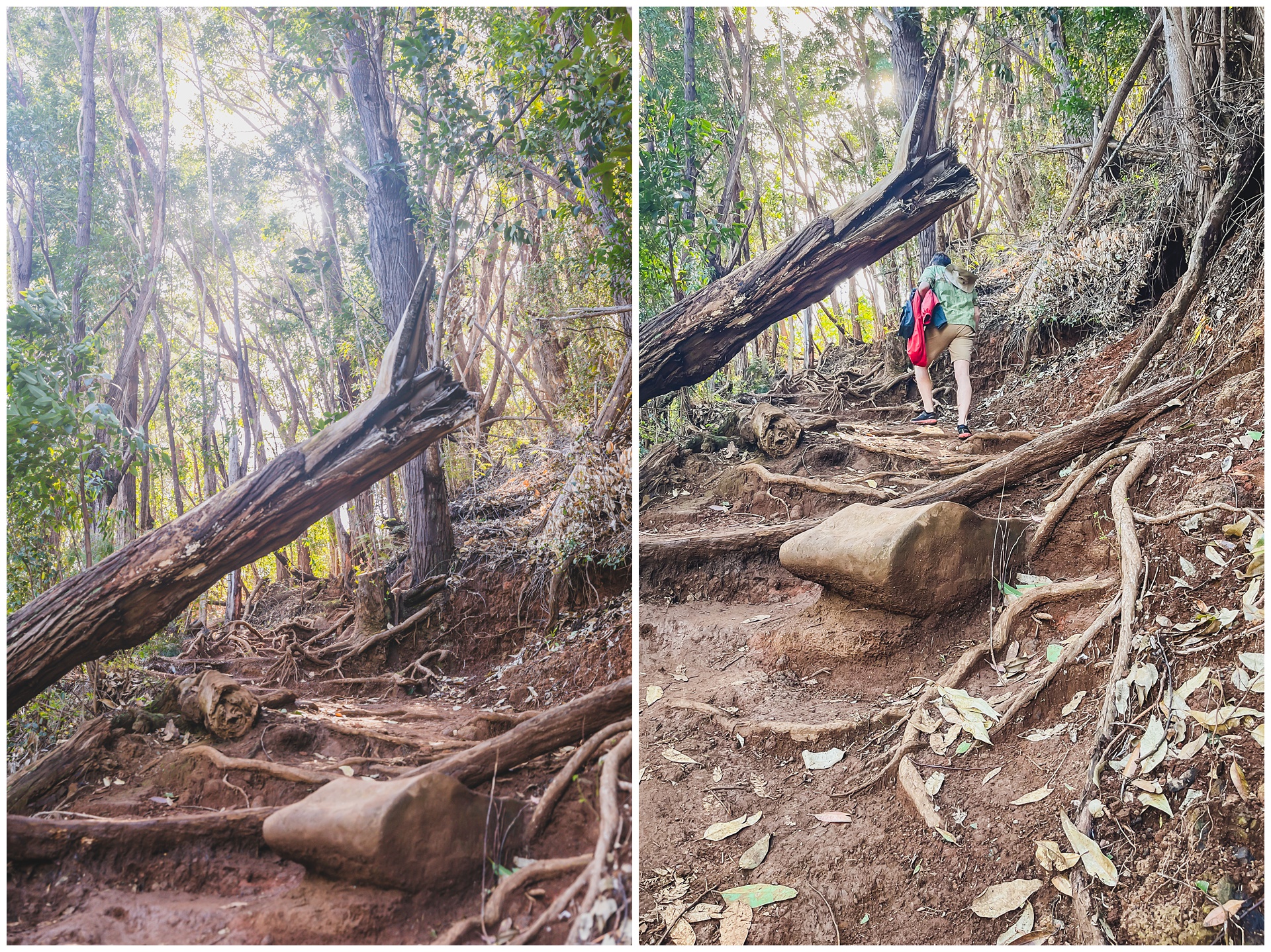
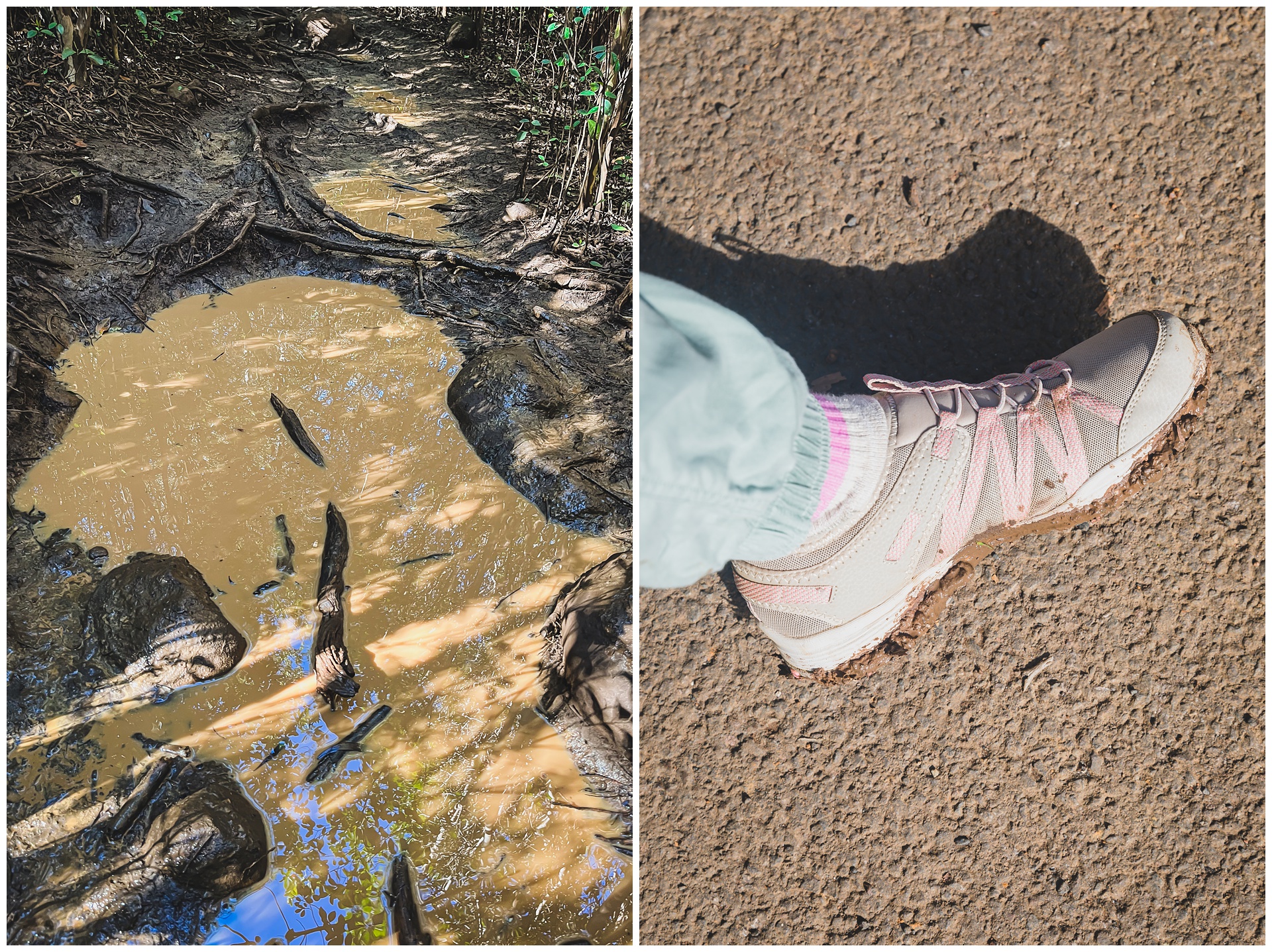
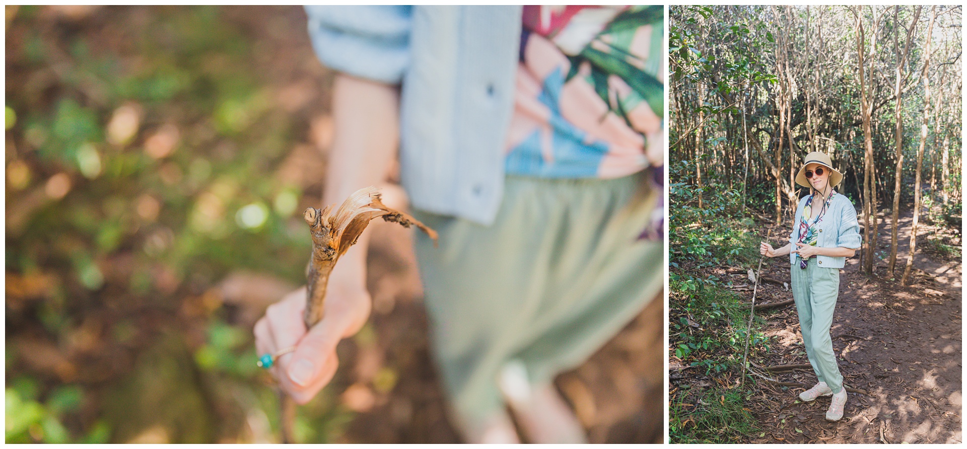 Seth formed this hiking stick for me late in the hike, which helped me traverse the last stretches of mud and puddles and to come out with shoes that, while muddy, definitely could have been way worse:
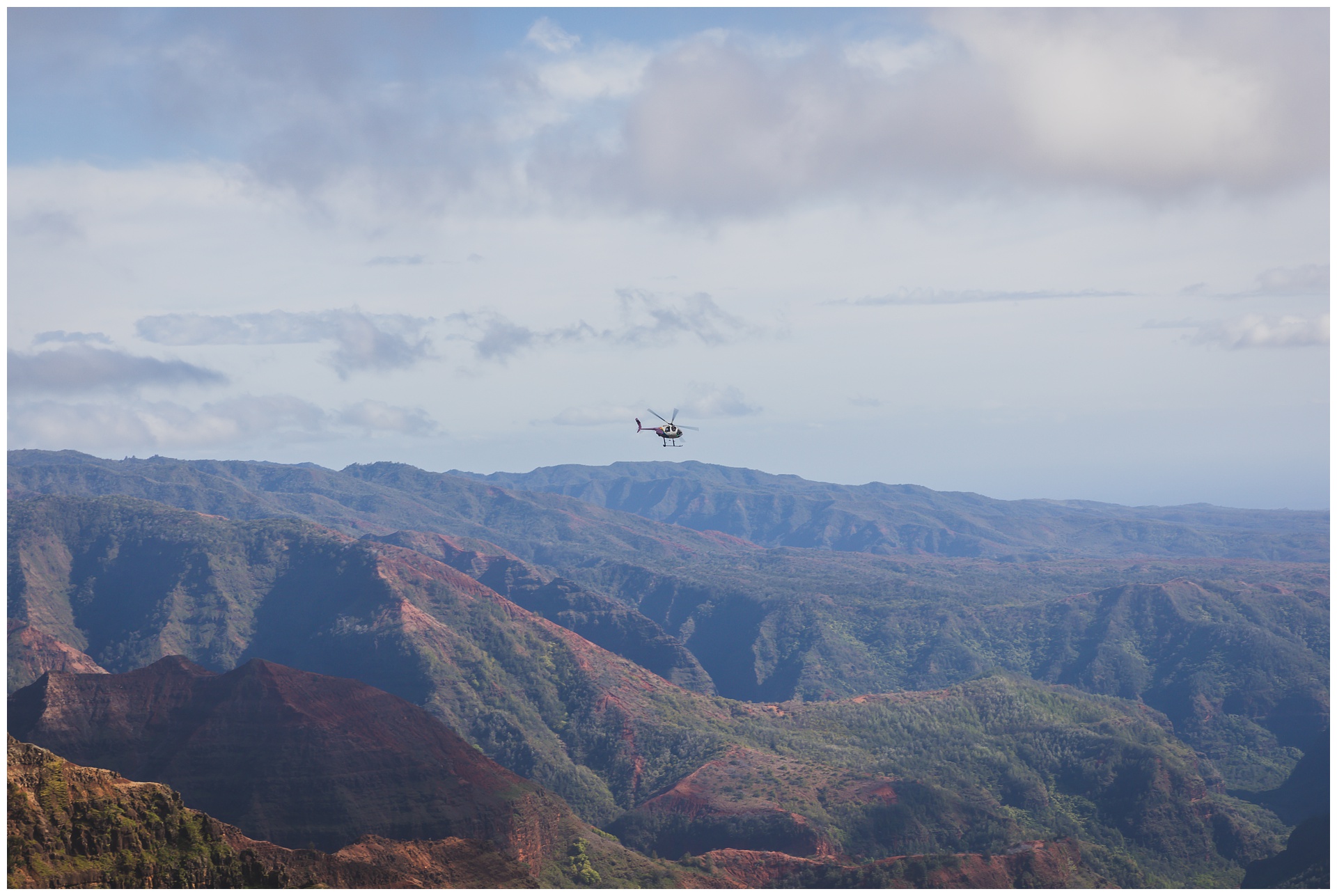
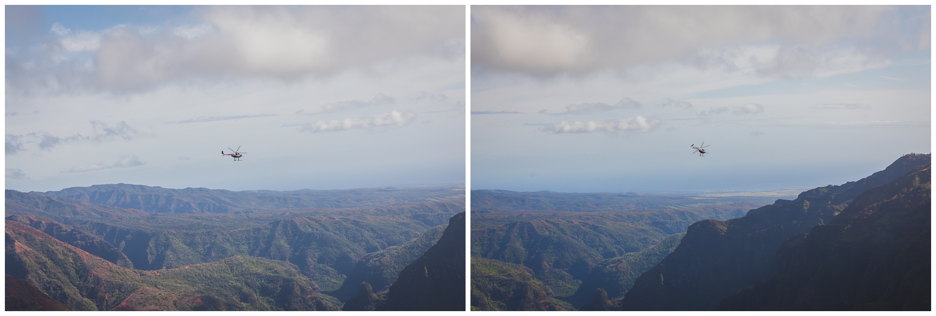 After one last view from the rim of Waimea Canyon, we went to the neighboring Koke’e State Park. There we stood on top of Mount Wai‘ale‘ale, one of the wettest spots on Earth with annual rainfall of about 500 inches. And fittingly, it started raining while we were there!
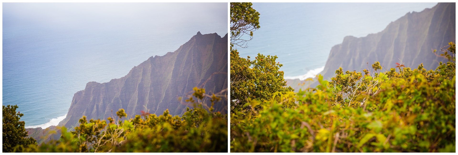
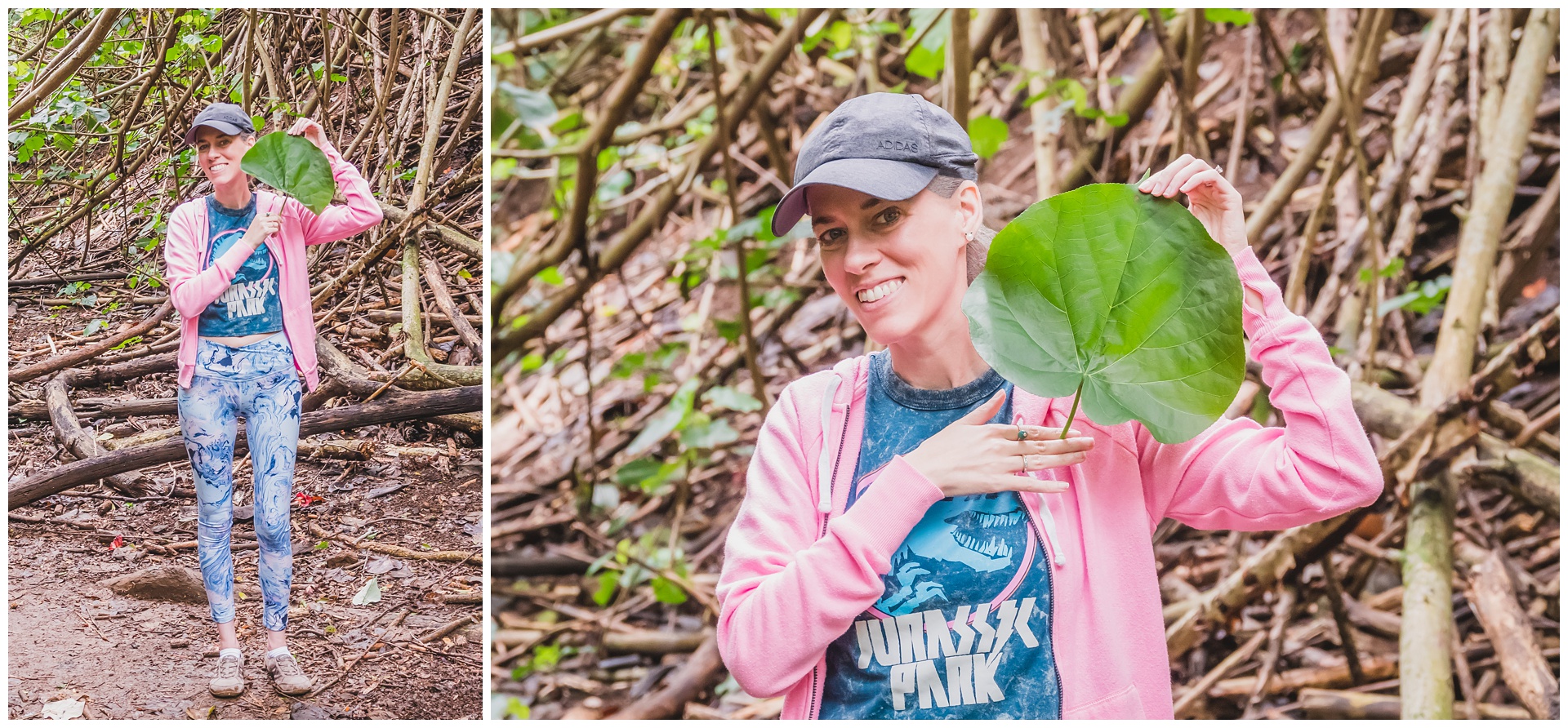
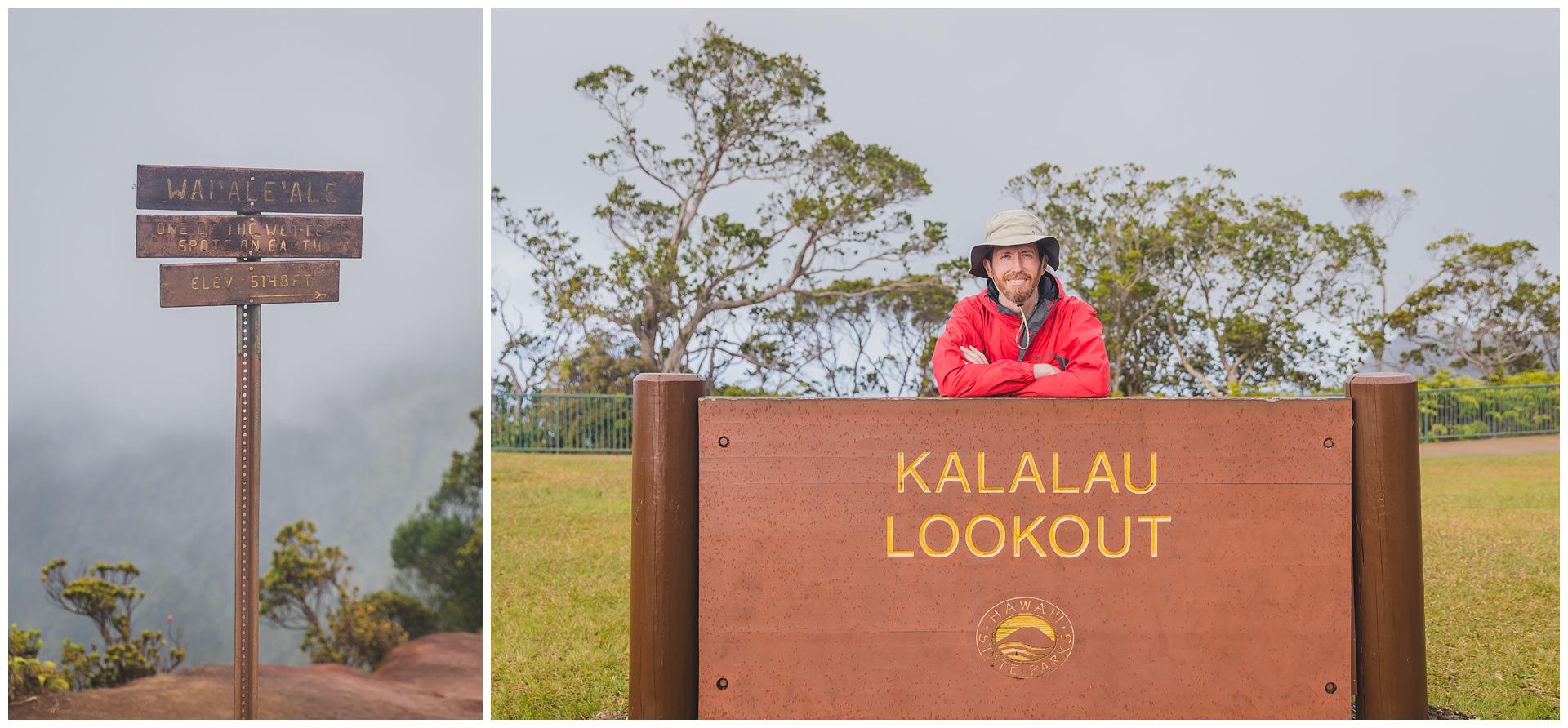 Also at this site is Kalalau Lookout, which gives views of Kalalau Valley, one of the most photographed and recognized valleys in Hawaii. At 2 miles wide, it’s also the largest valley on Kauai. This valley and the surrounding Nāpali Coast have served as the backdrop for films including the original “King Kong,” “Mighty Joe Young,” “Jurassic Park” and “Six Days Seven Nights.”
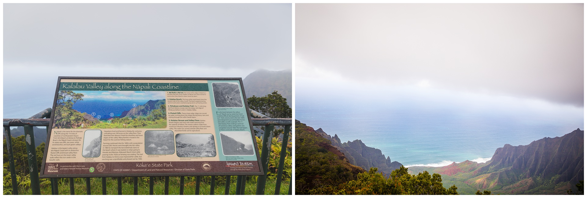
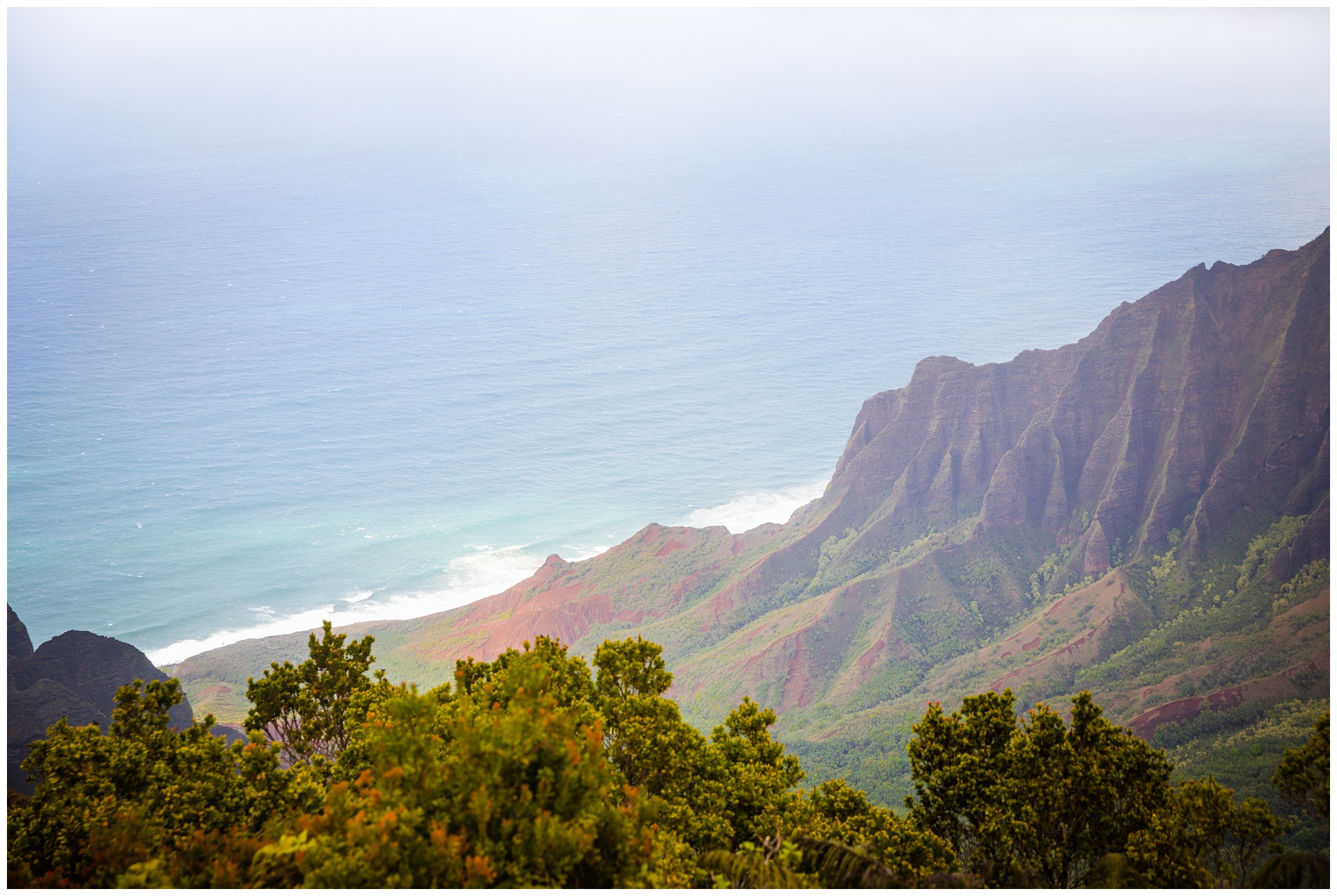
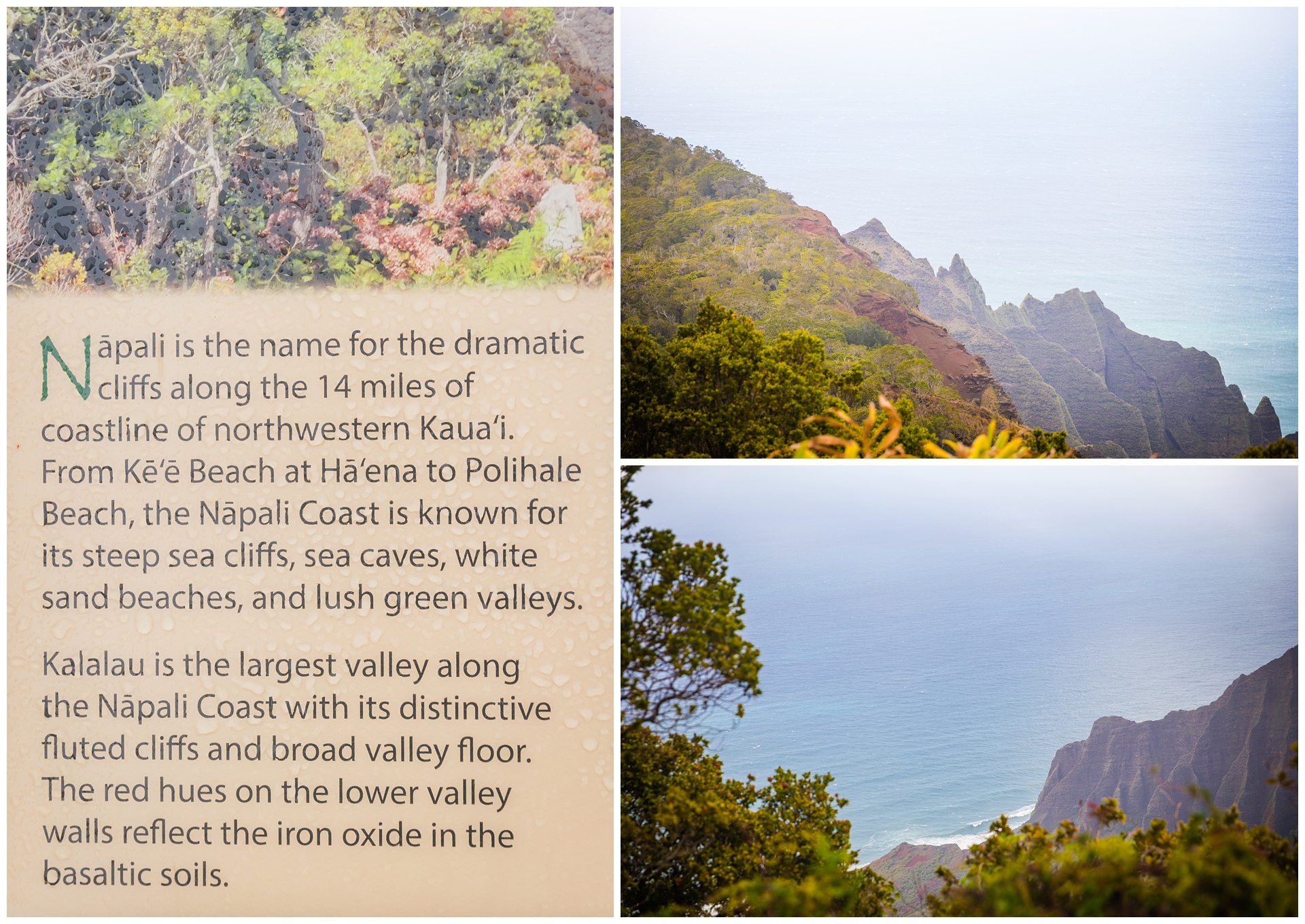 Nāpali means “the cliffs” or “many cliffs” in Hawaiian, and this coastline is one of the most iconic in the world. On our itinerary for the following day was a Nāpali Coast whale-watching excursion that (spoiler alert) unfortunately was canceled due to inclement weather generating 20-foot waves – not exactly ideal for being out in a boat! So we were extra glad in retrospect to have at least gotten this view of this beautiful coast.
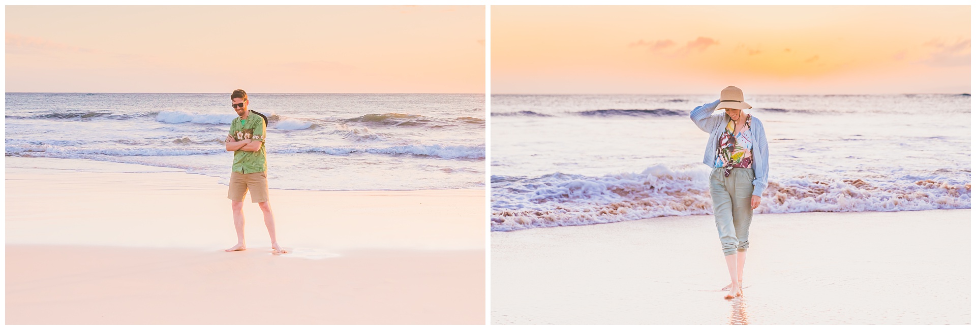
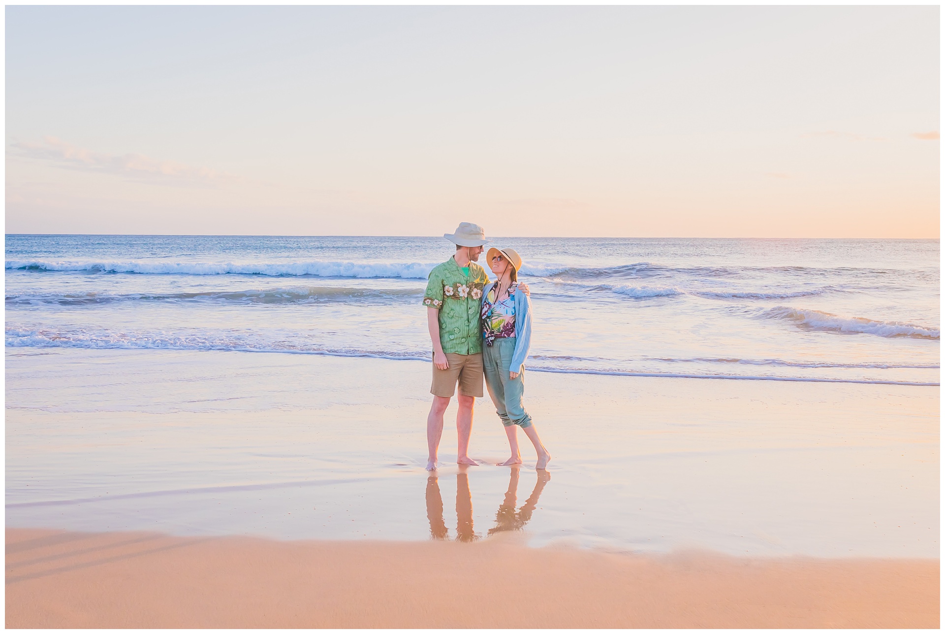
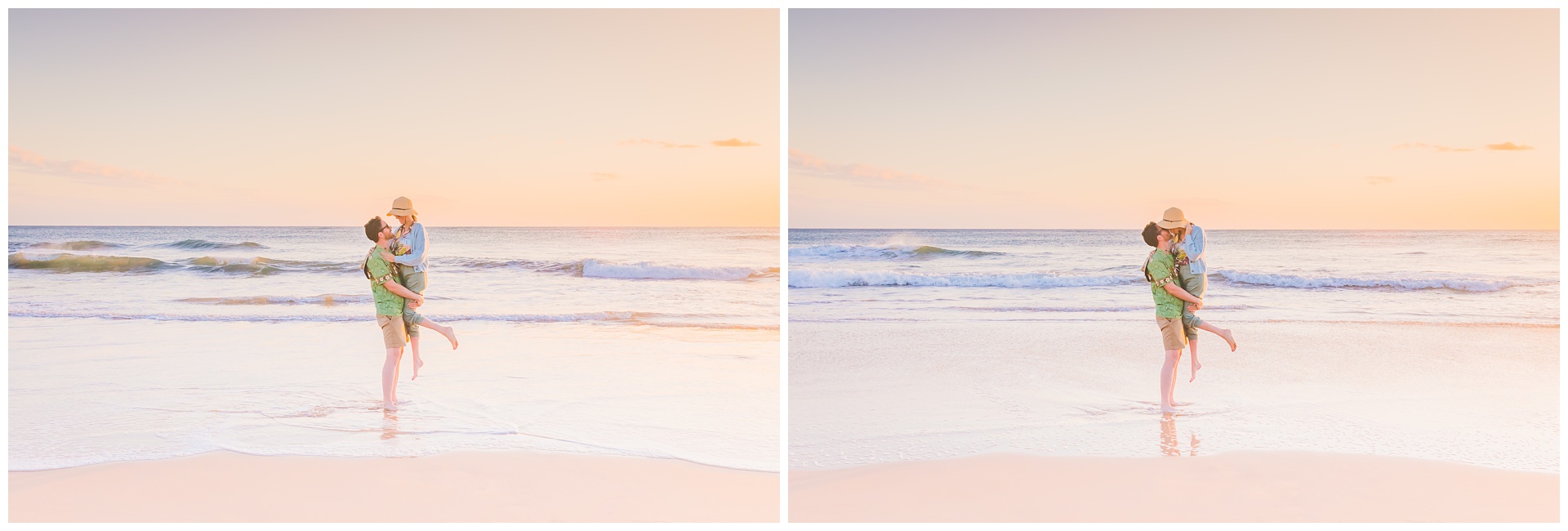
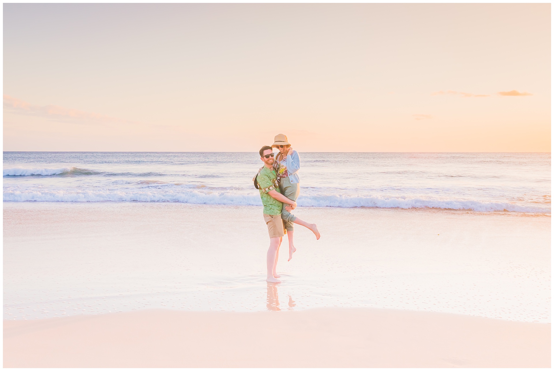
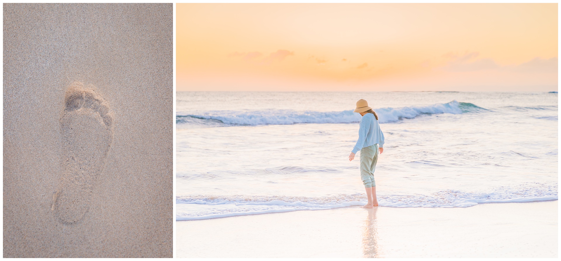
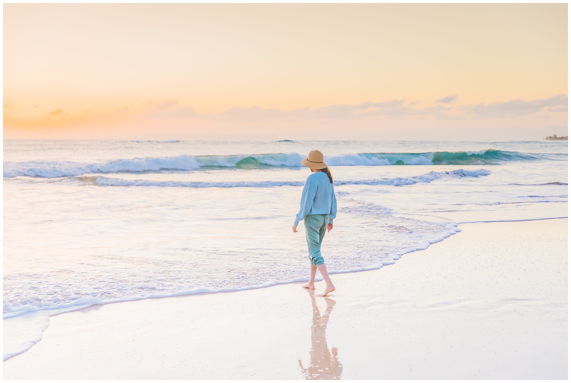
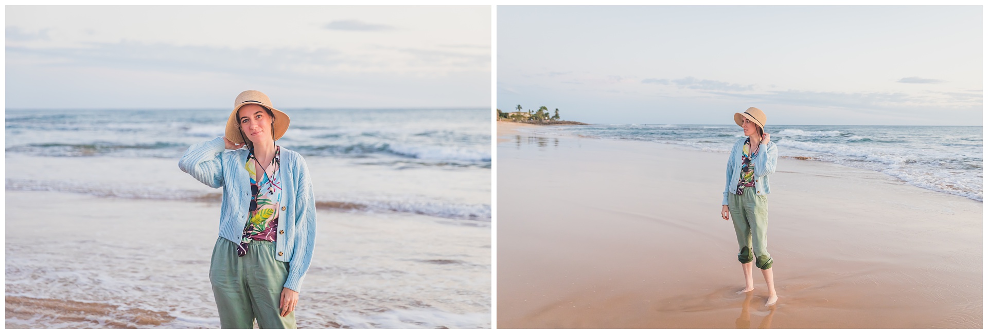
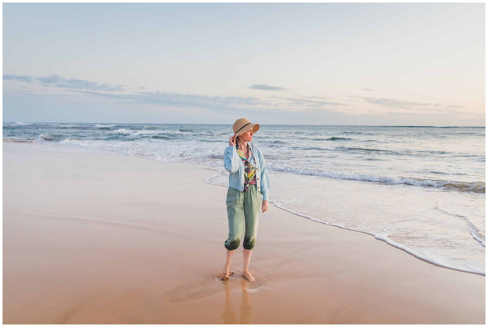
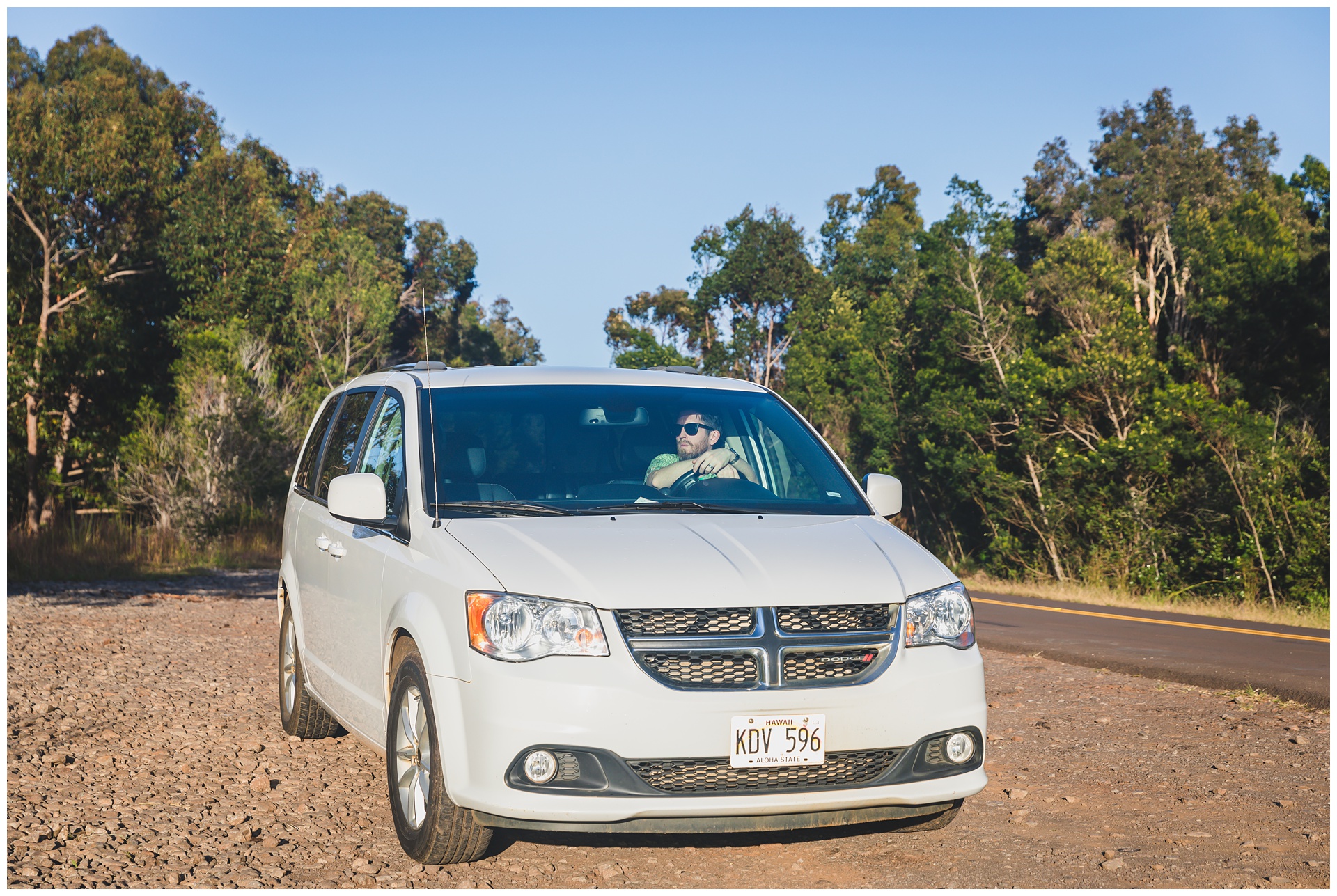 We did not intend to rent a minivan, but it was all that was available, and Seth really seemed to take to this Dodge Caravan. Another (I’d say better) surprise we had on Kauai was this beach we came across on our drive back to our motel on the east side of the island. I couldn’t have asked for a better end to the day than an unexpected golden-hour session and a pretty sunset over the ocean.

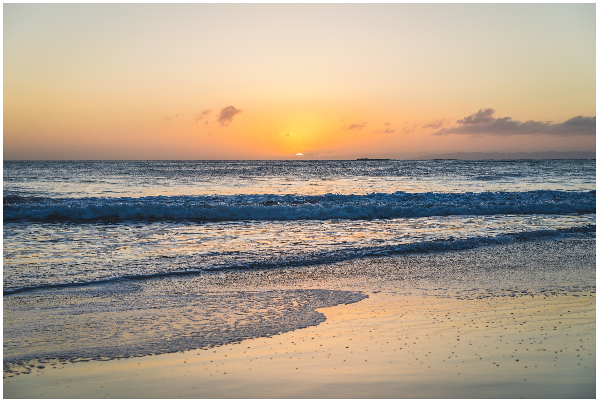
day 7 • 01.30.23 • kauai
a “Jurassic Park” adventure & beautiful plan B
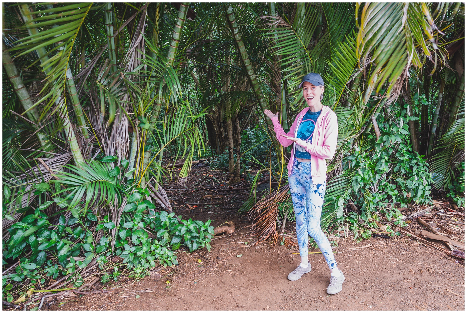
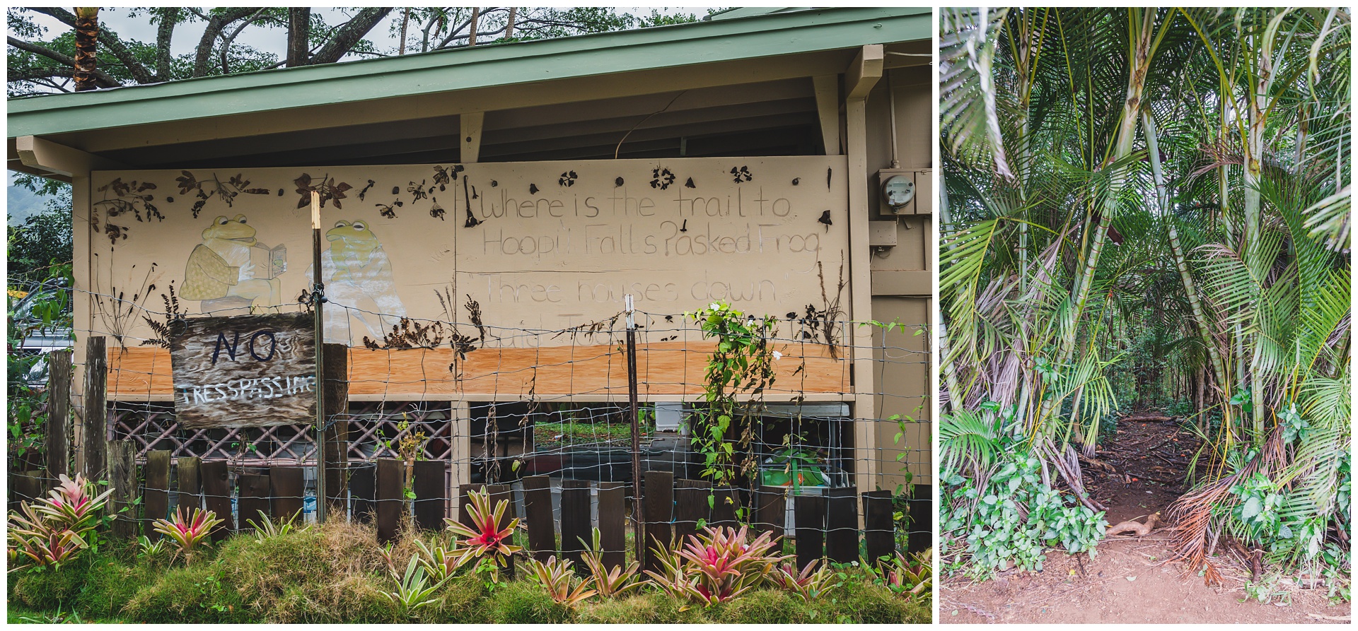 We set out fairly early to hike to Hoʻopiʻi Falls, which is famous for being a filming location in the original “Jurassic Park.” But for being famous, the trailhead on the outskirts of the town of Kapa’a certainly isn’t easy to find! It’s in a residential area where the poor homeowners have put up “no trespassing” signs to deter would-be hikers from wandering onto their property. GPS wasn’t all that helpful for us in finding the trail, but fortunately, I spotted directions someone had kindly (and creatively) painted on their house.
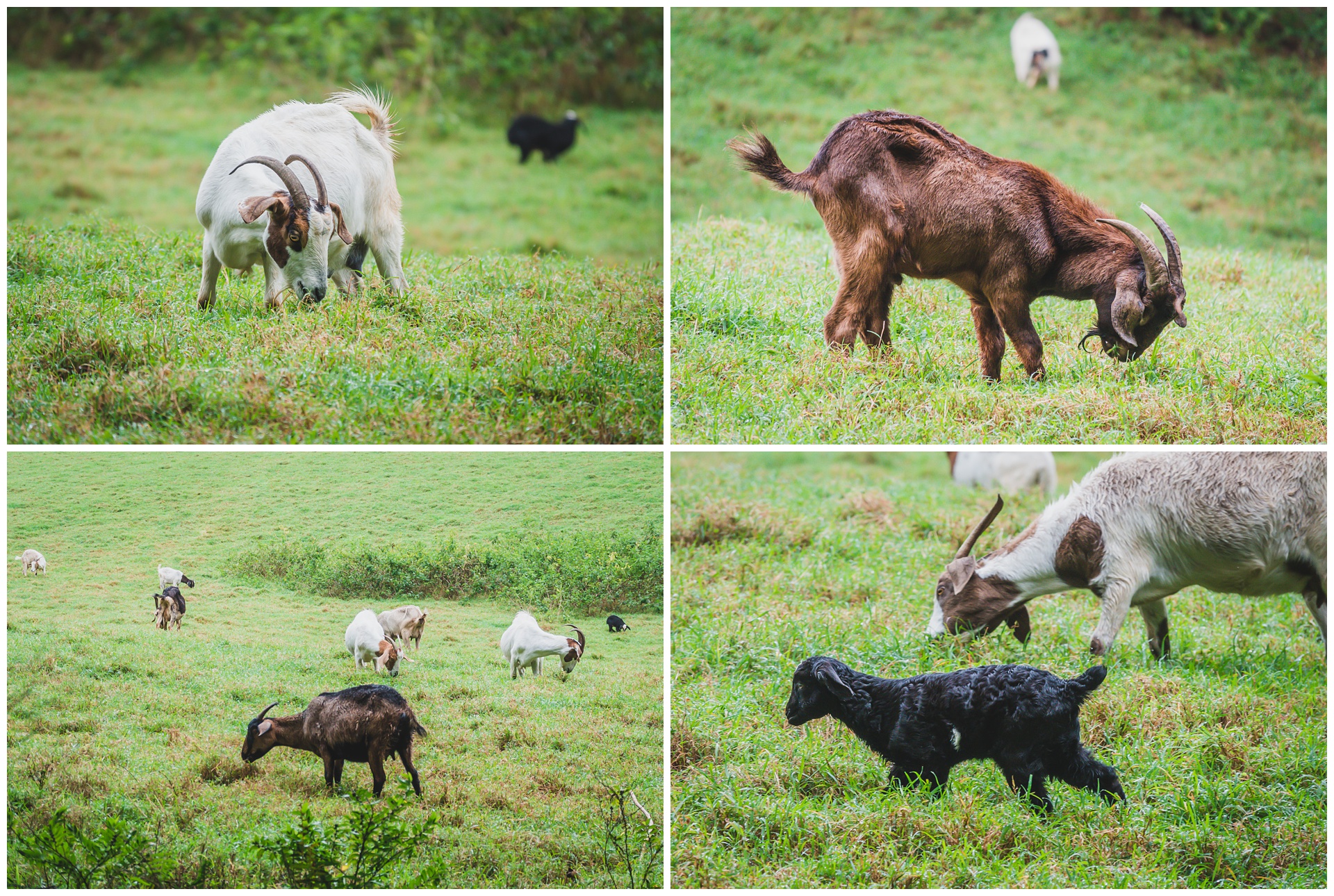 A little way into the hike, we came across a goat farm and then Kapa’a Stream, which feeds into Hoʻopiʻi Falls.
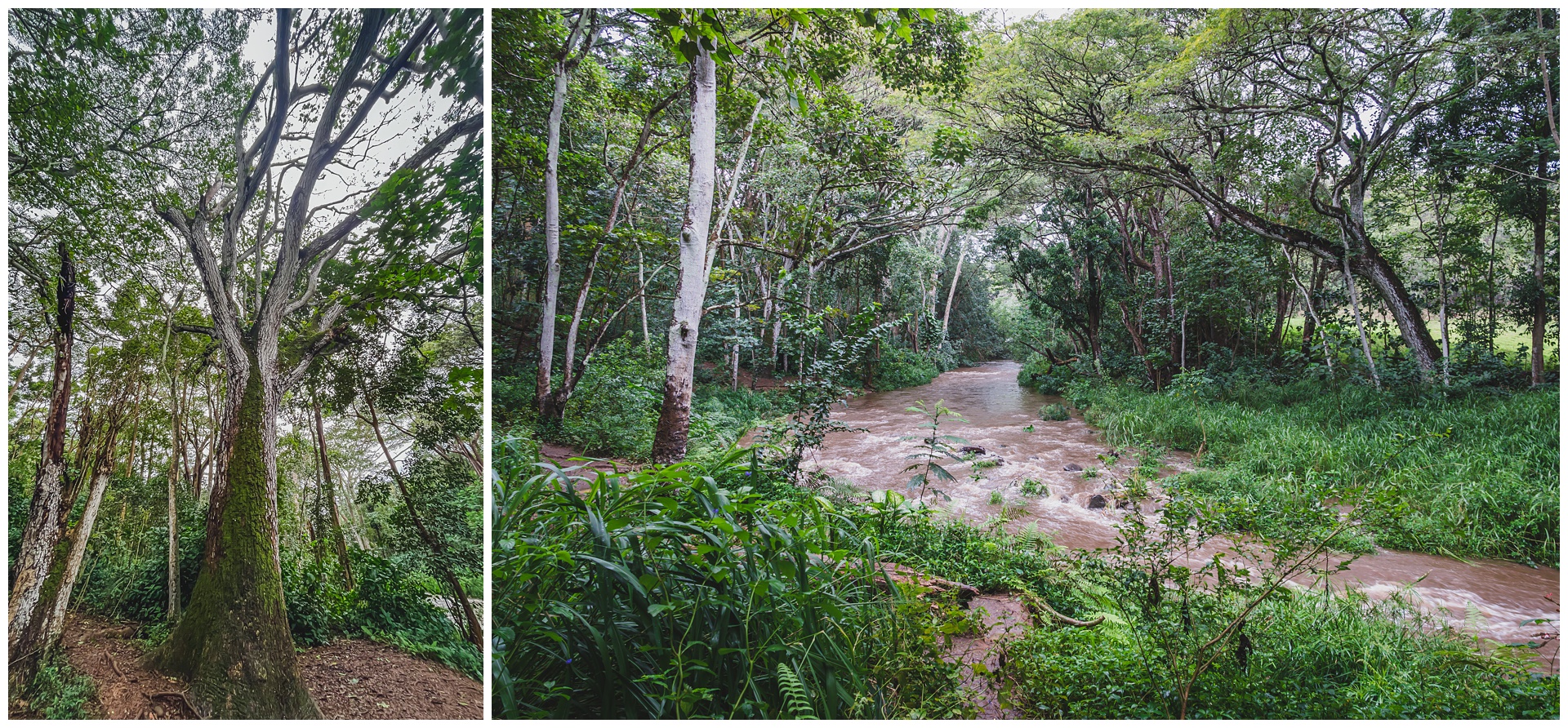
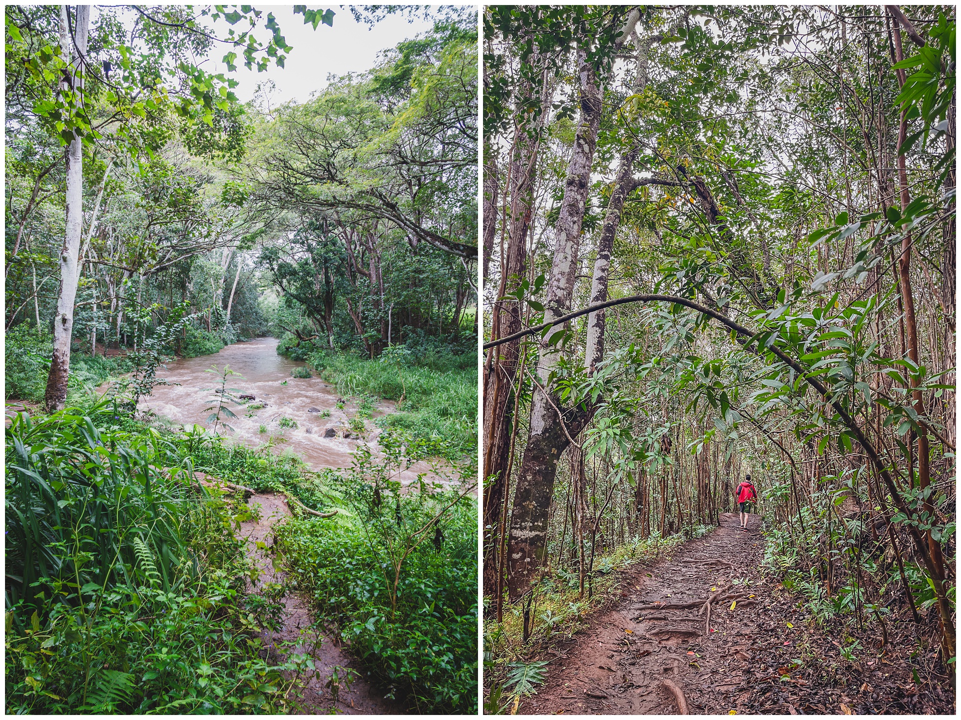
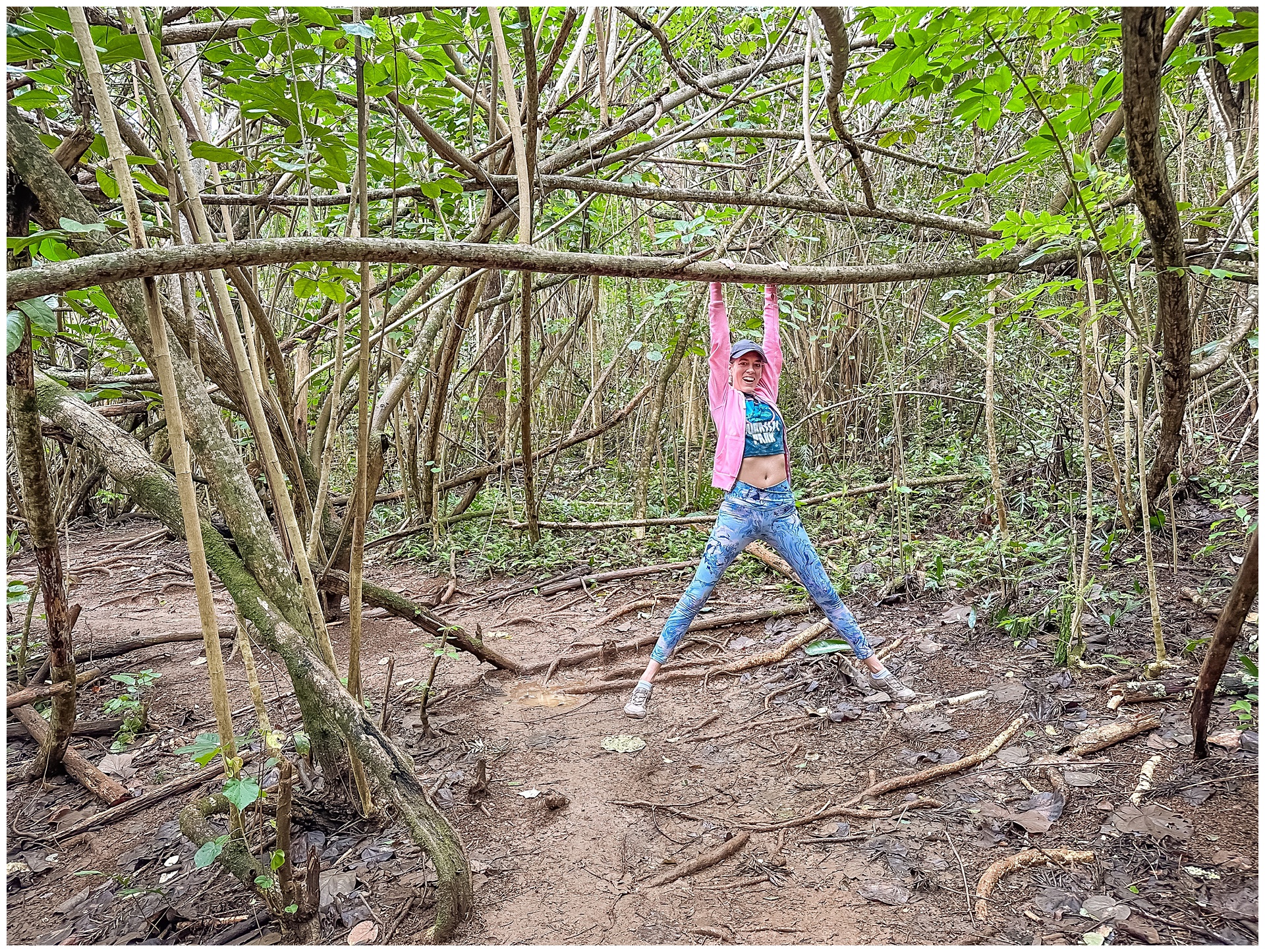
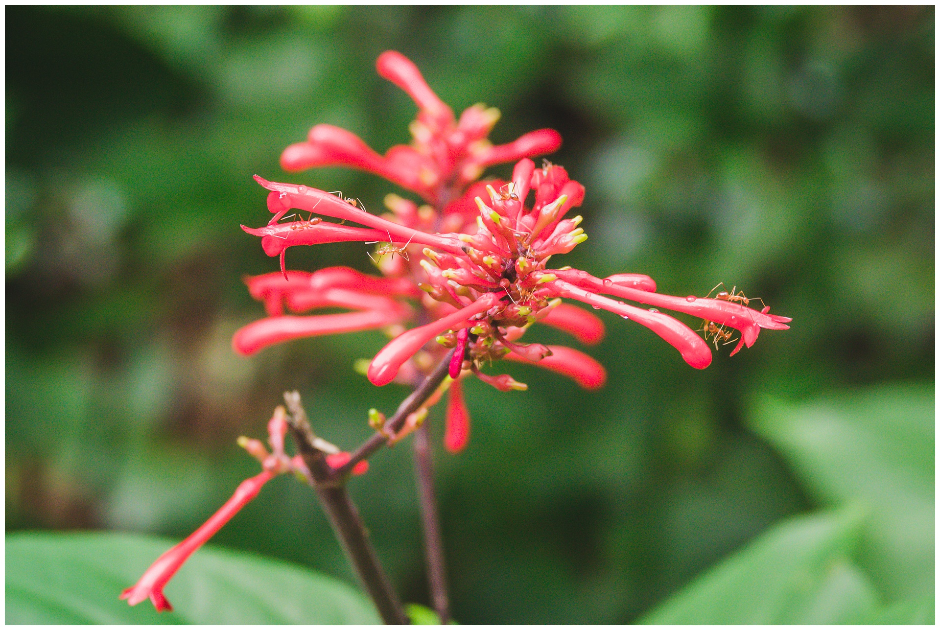
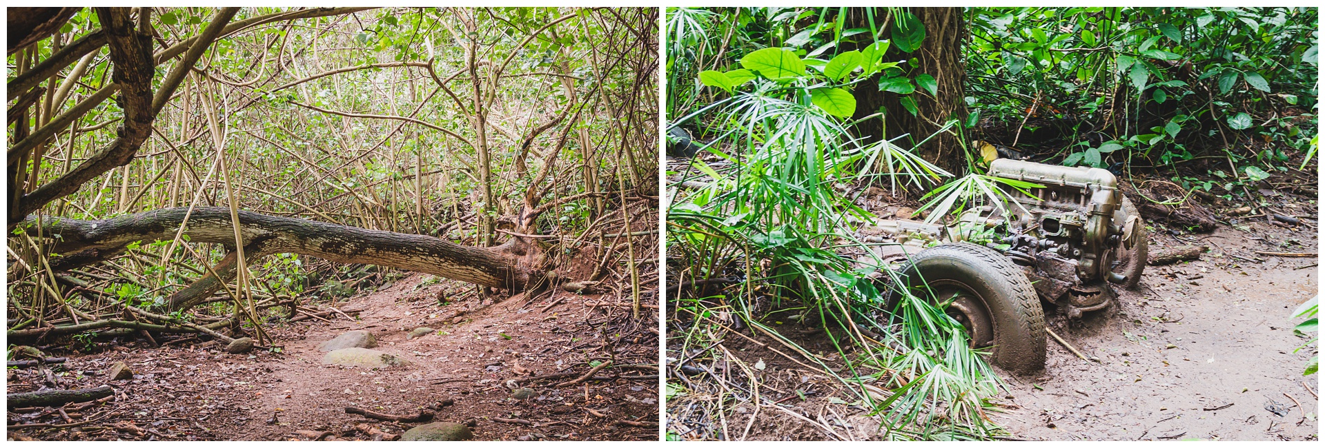
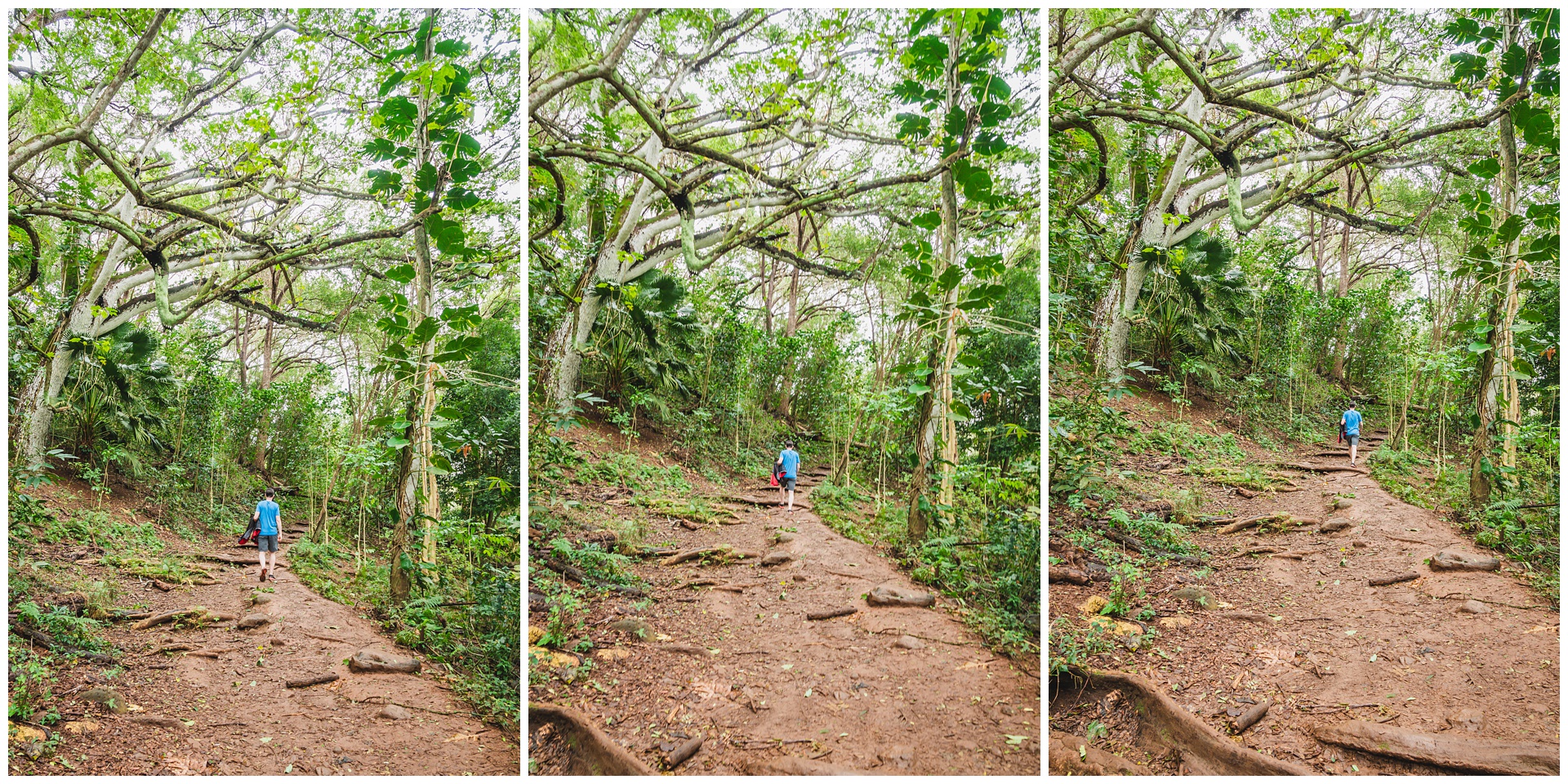
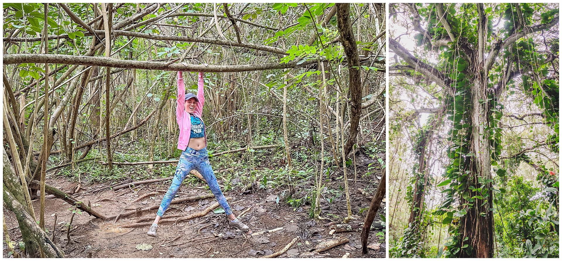 The jungle vibes were worth the hike all on their own, even without the promise of a famous waterfall. This portion of the trail definitely looked like something from a movie!
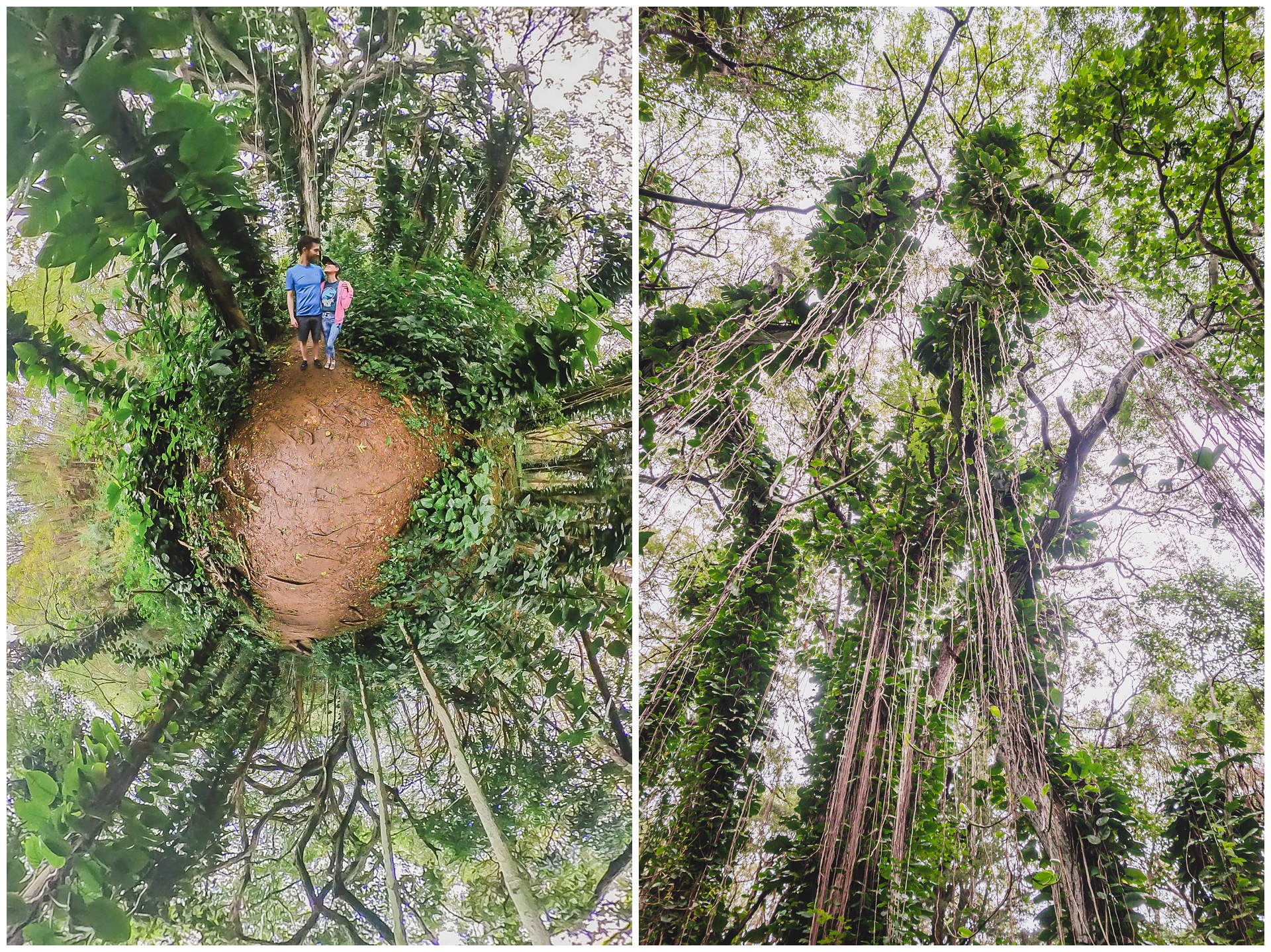
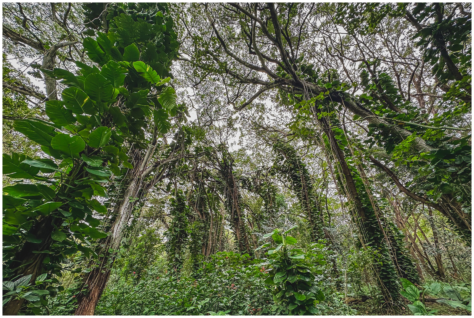
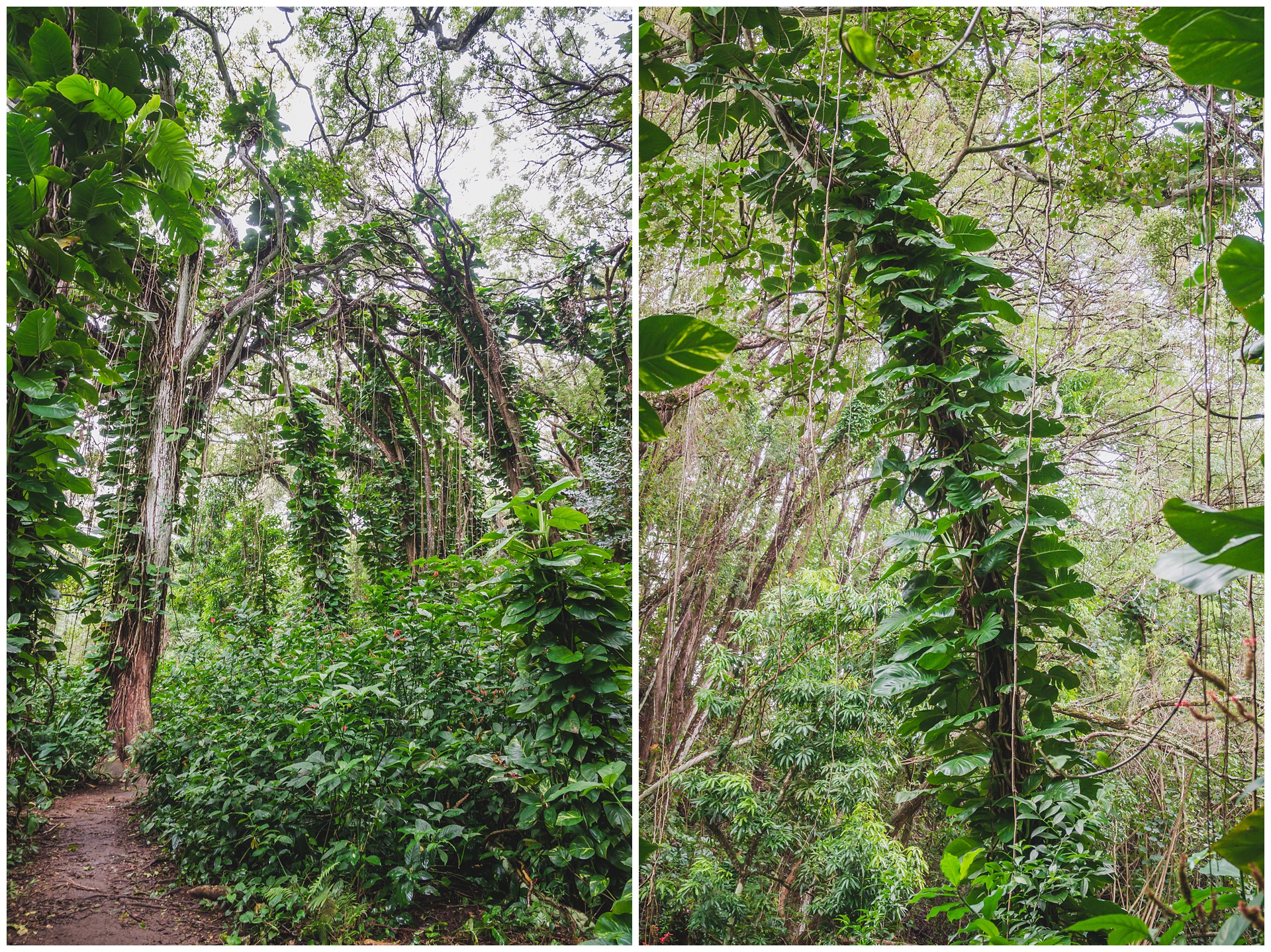
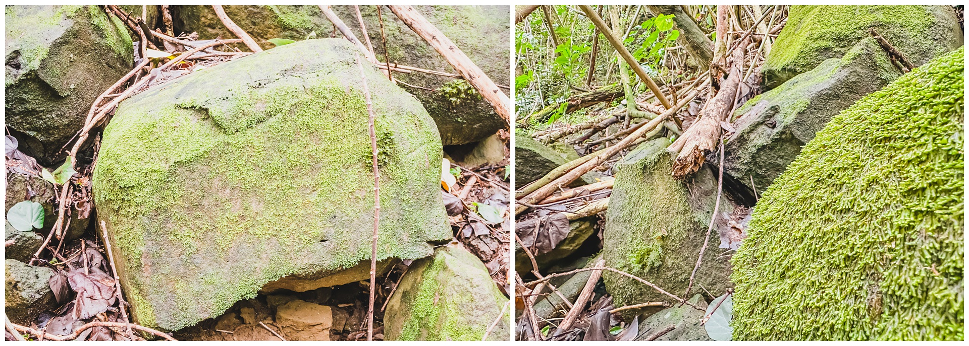
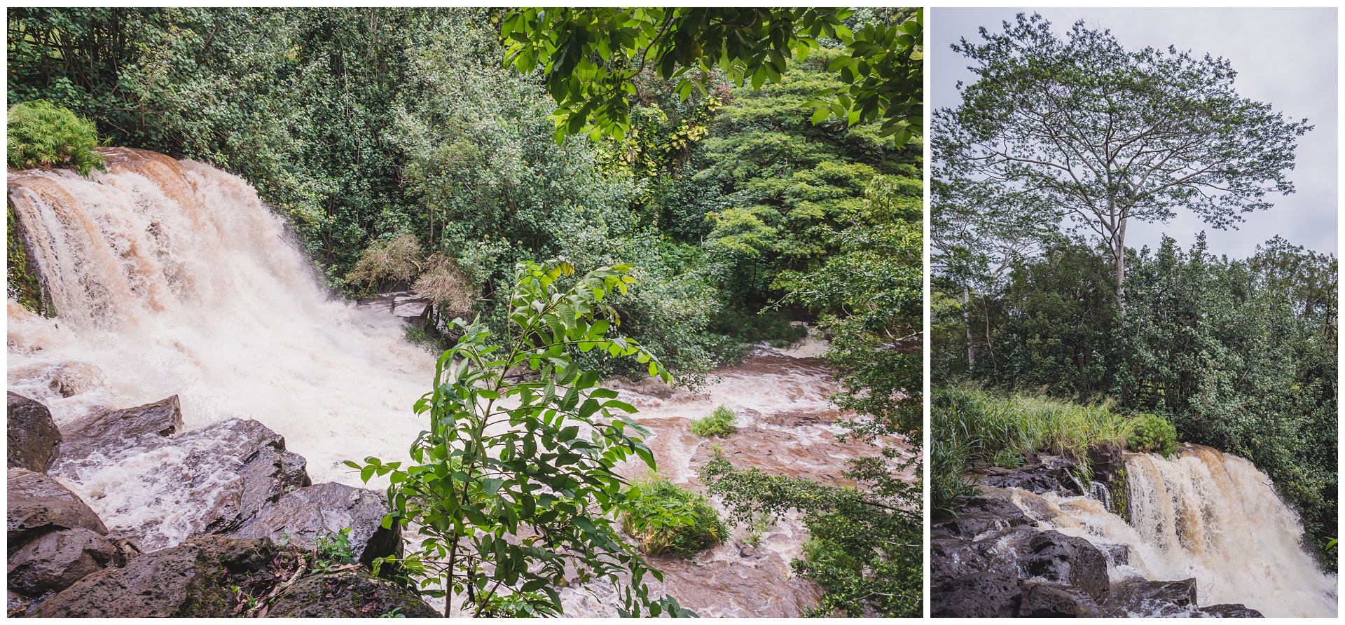 We could hear it before we could see it, and after a little detour off the trail, there is was! We’d somehow bypassed the upper portion of the falls – but no matter, because this lower (main) portion is the more impressive one and most importantly, the one made famous by “Jurassic Park.” The scene shot here is the one early on at the amber mine – and although the setting was much lusher during our visit than it looks in the movie, it was exciting to see it (in arguably even more glory than the appearance it’s famous for).
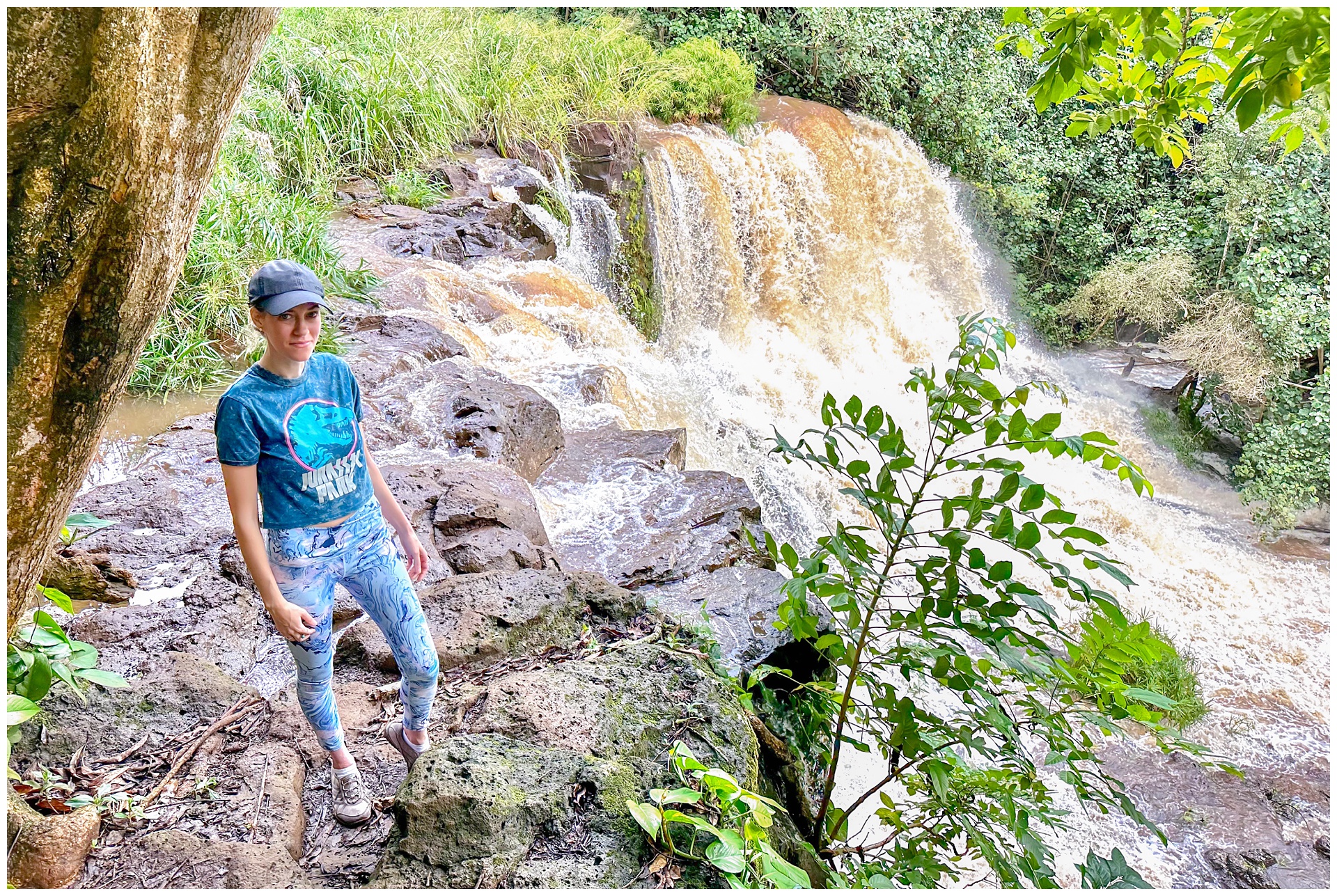
 By the time we made it back to our minivan, the trailhead parking had really filled up. But we’d beat the crowd and now were off to Kapa’a for lunch and to look around a bit, since the Nāpali Coast tour we’d booked for that afternoon was called off.

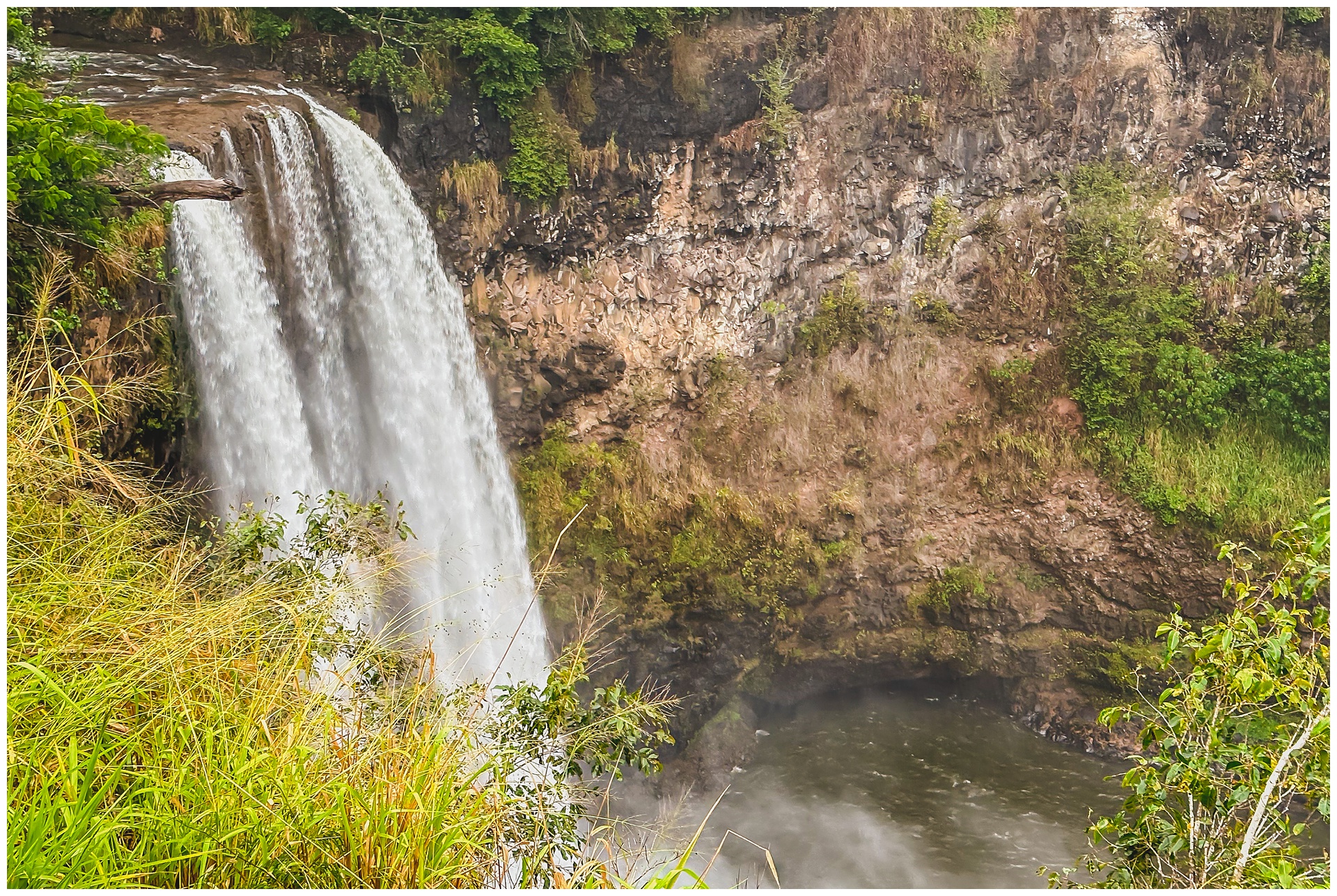 One must-see in Kauai that hadn’t originally fit into our itinerary was Wailua Falls – the second waterfall by that name of this trip, as we’d also seen the one in Maui. This one is famous for being featured in the opening credits of “Fantasy Island.” A silver lining of our changed plans was being able to visit it after all, and by the time we arrived, so had heavy rain!
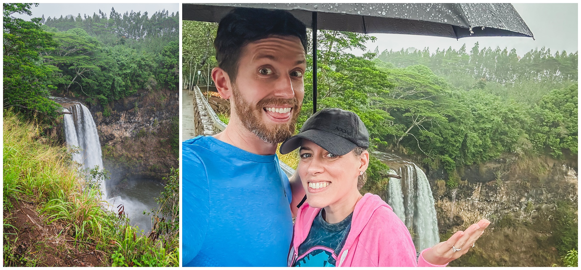
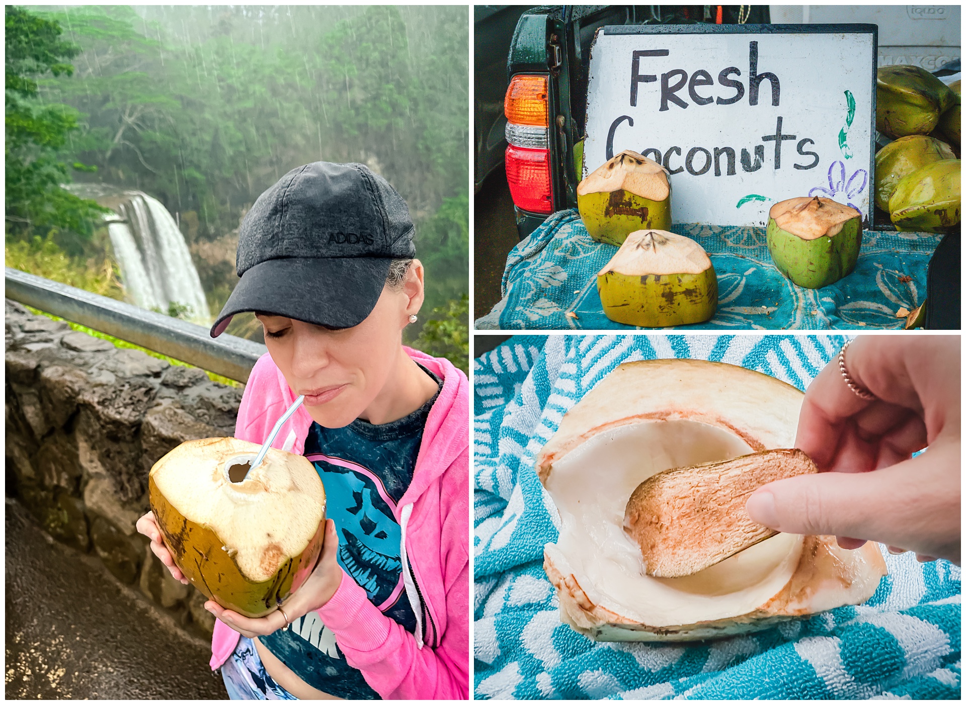 It seemed fitting to screen-shot weather alerts that popped up on my phone that afternoon, as weather definitely played a major role in the story of this trip:

day 8 • 01.31.23 • big island
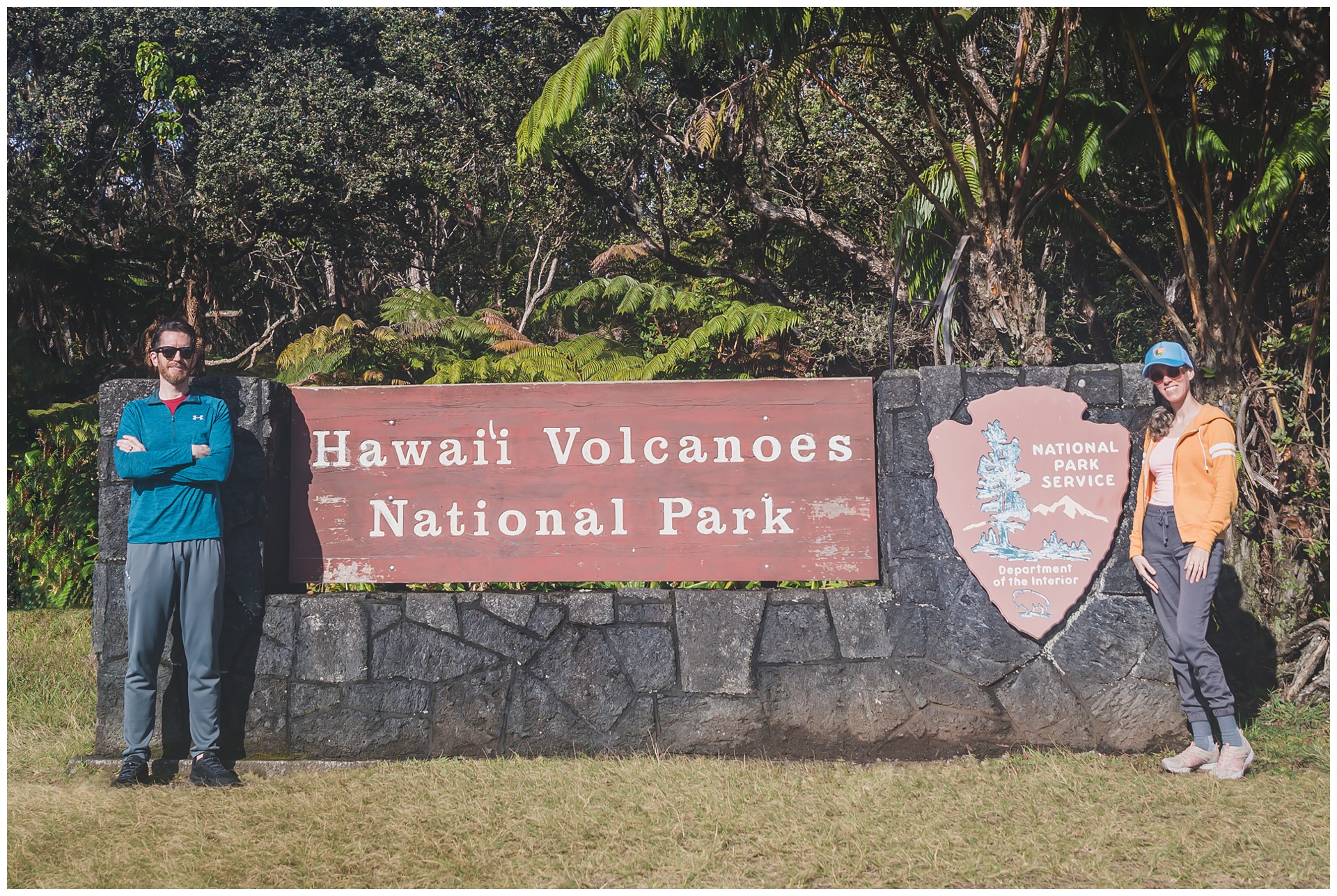
Hawaii Volcanoes National Park
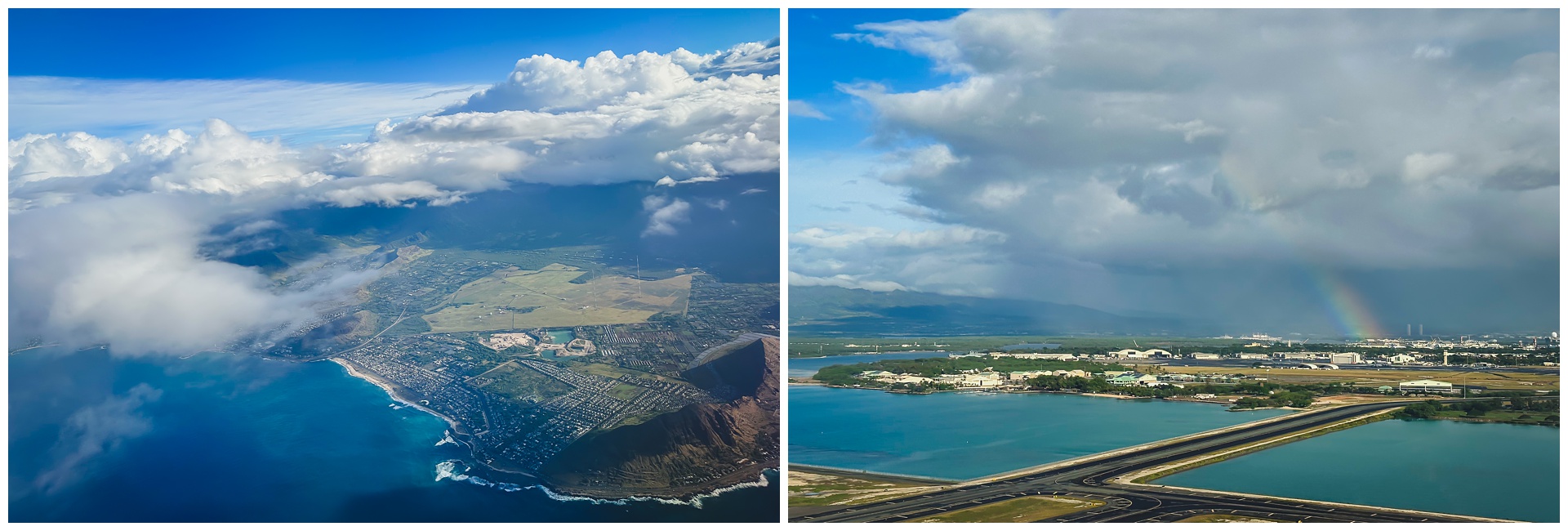
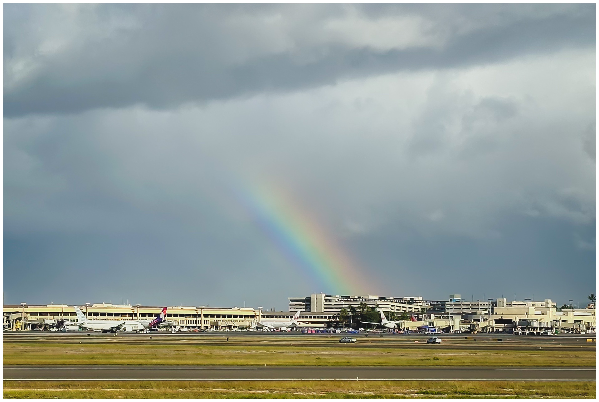 Once again, we left rain behind on one island and were greeted by a rainbow on another – although Oahu, the location of this rainbow, was actually only a layover on our way to the Big Island.
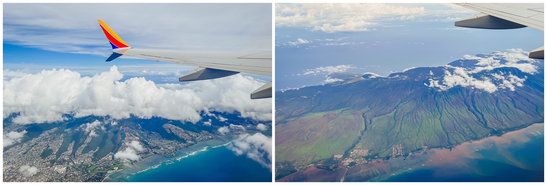
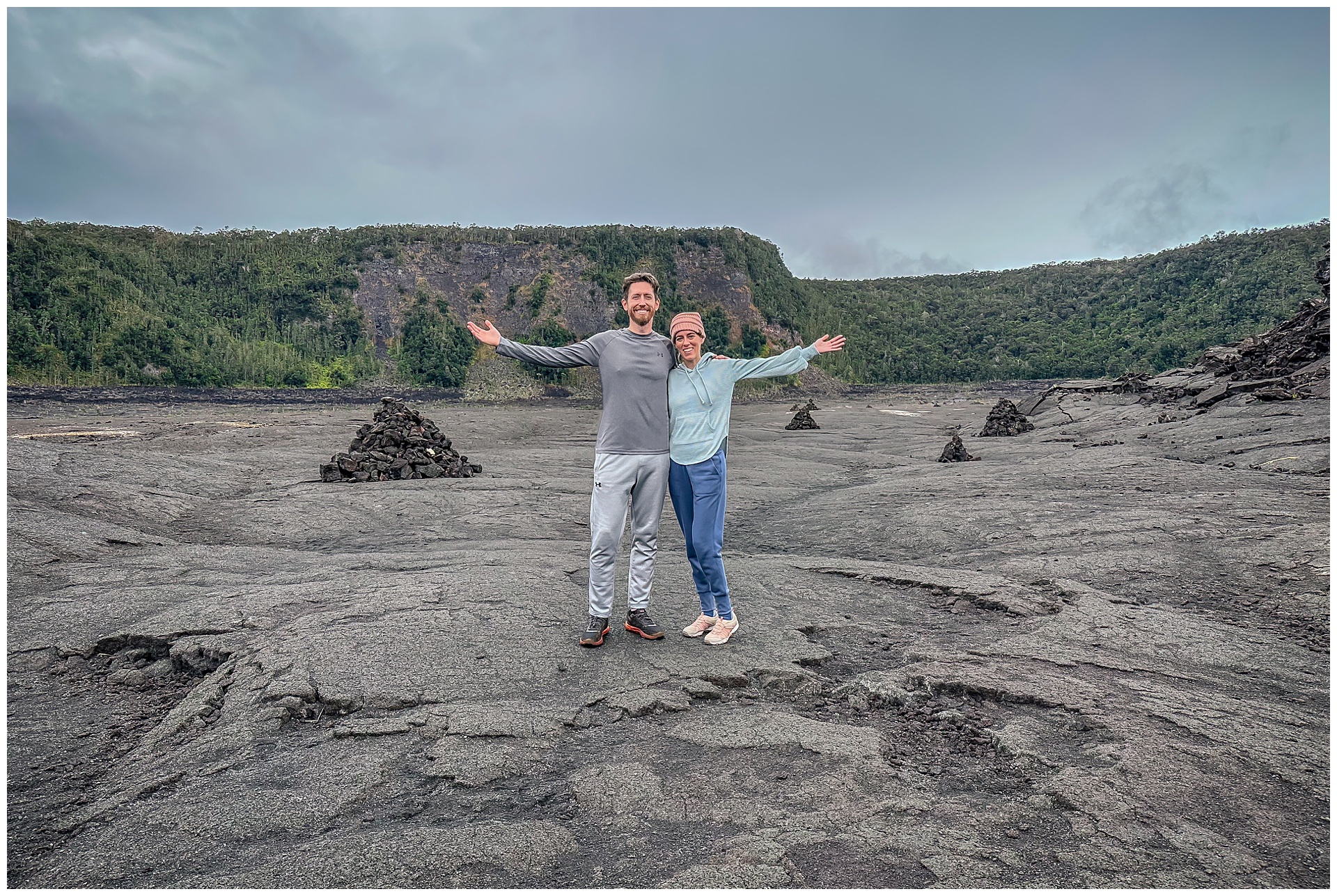
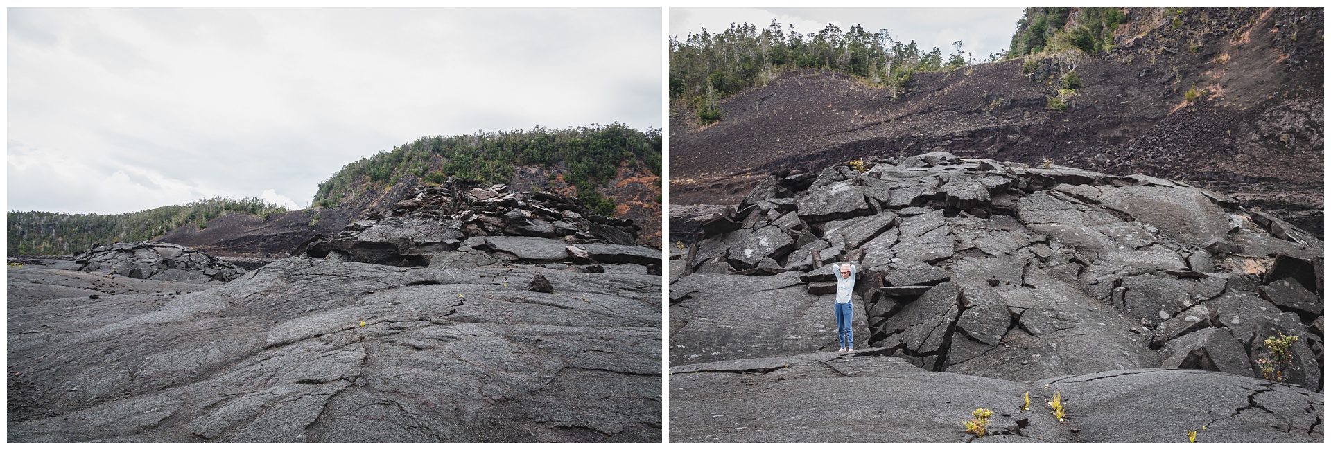
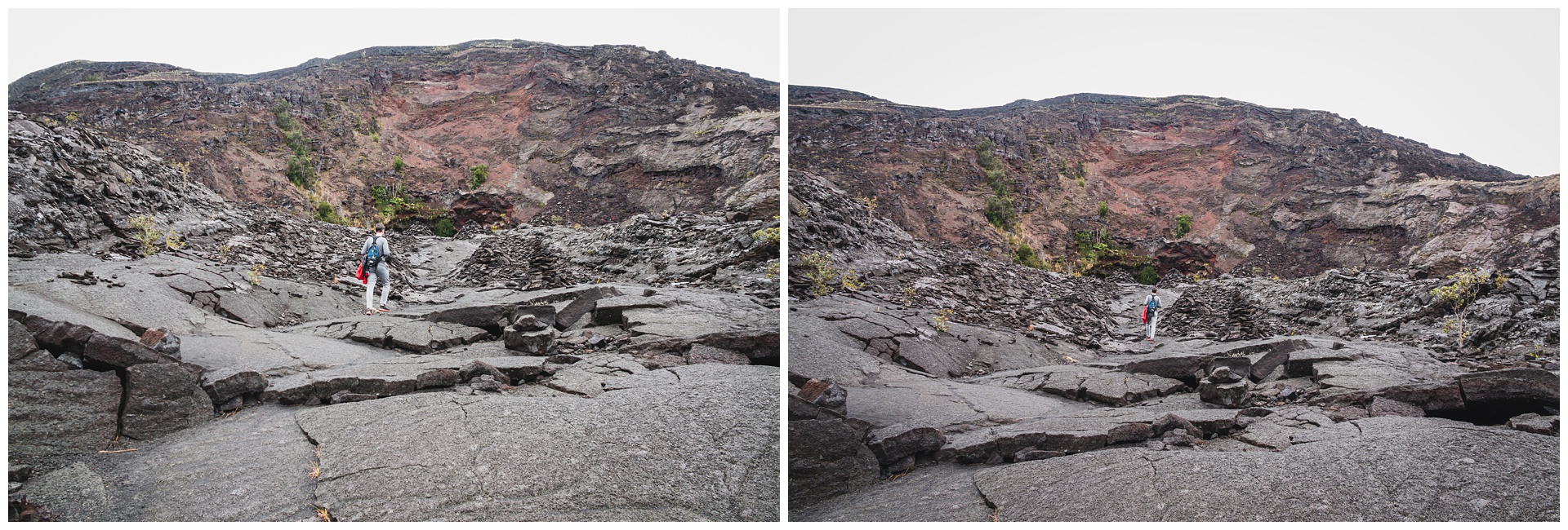
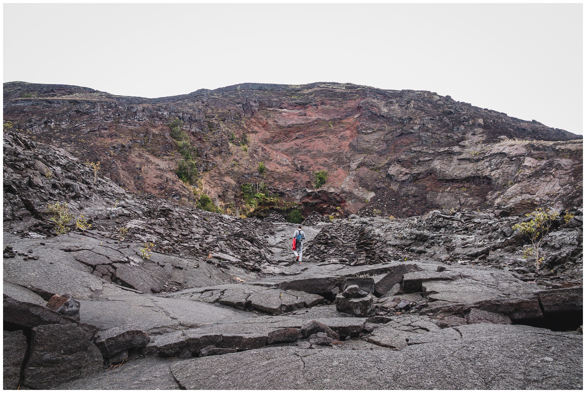
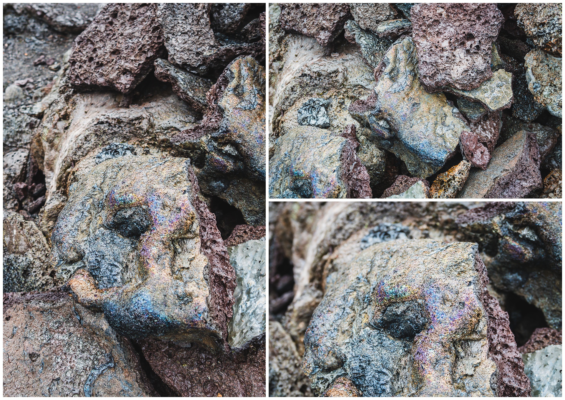
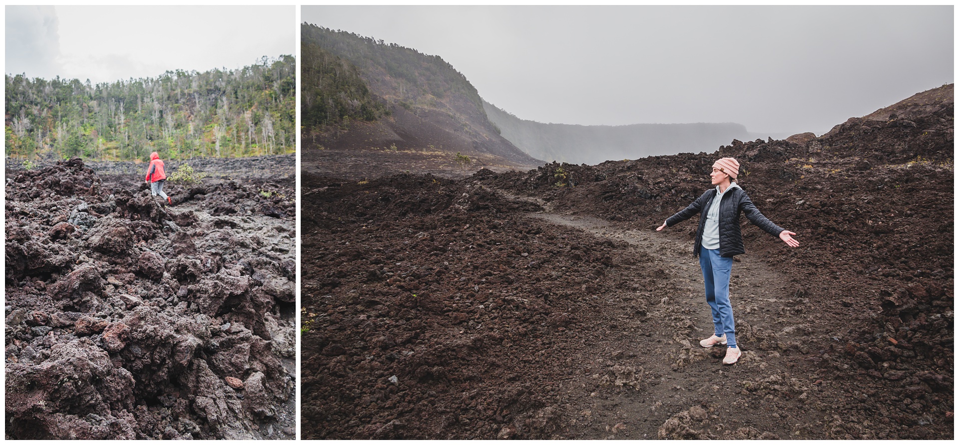
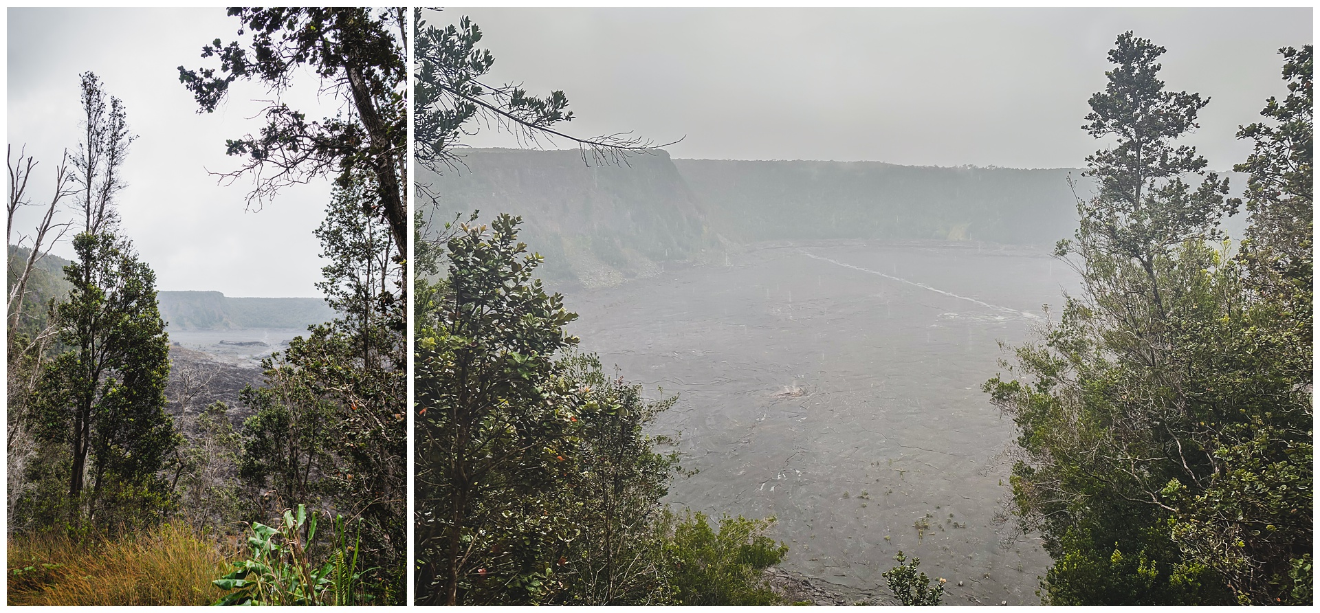
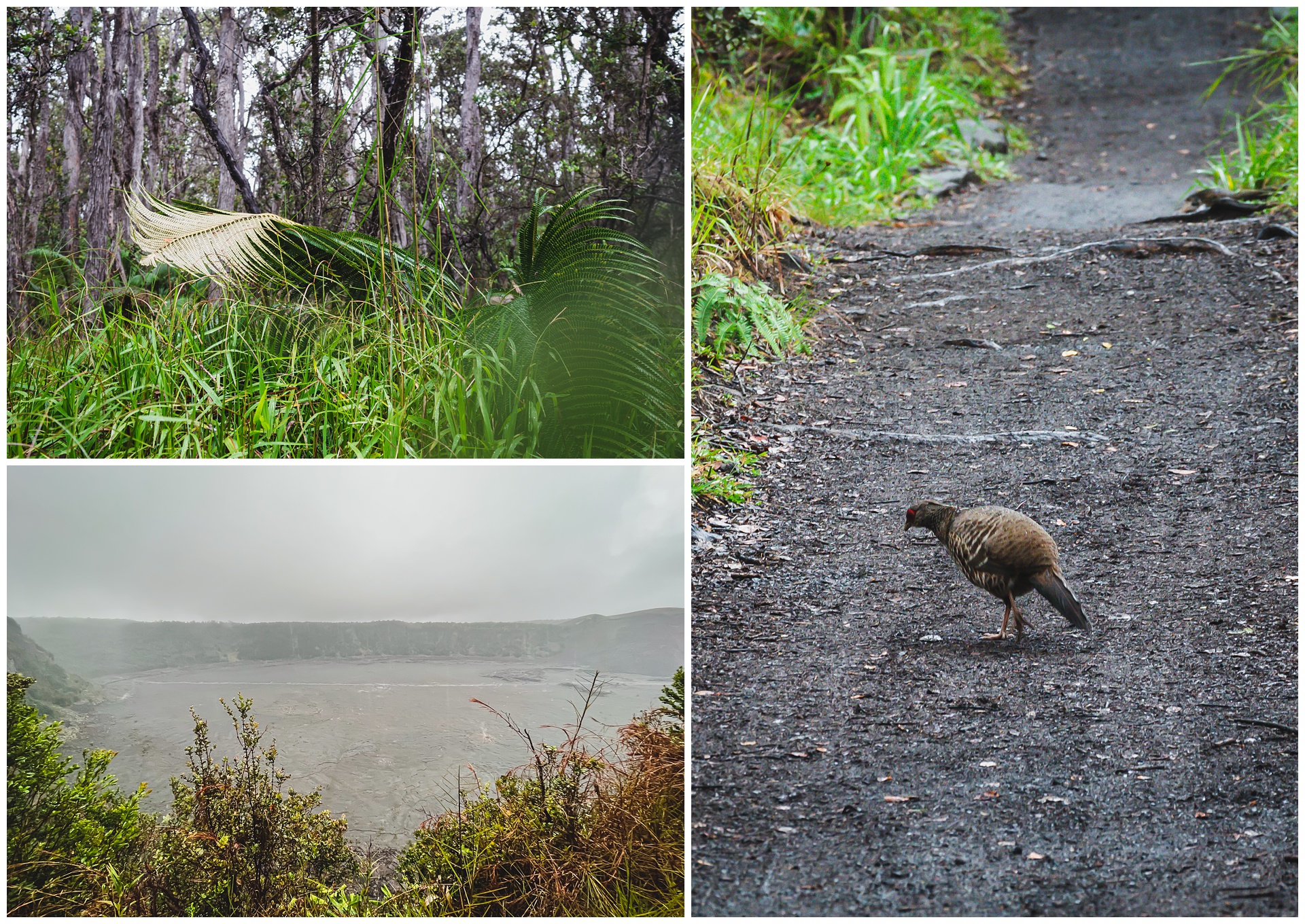
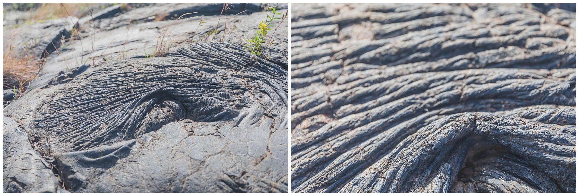
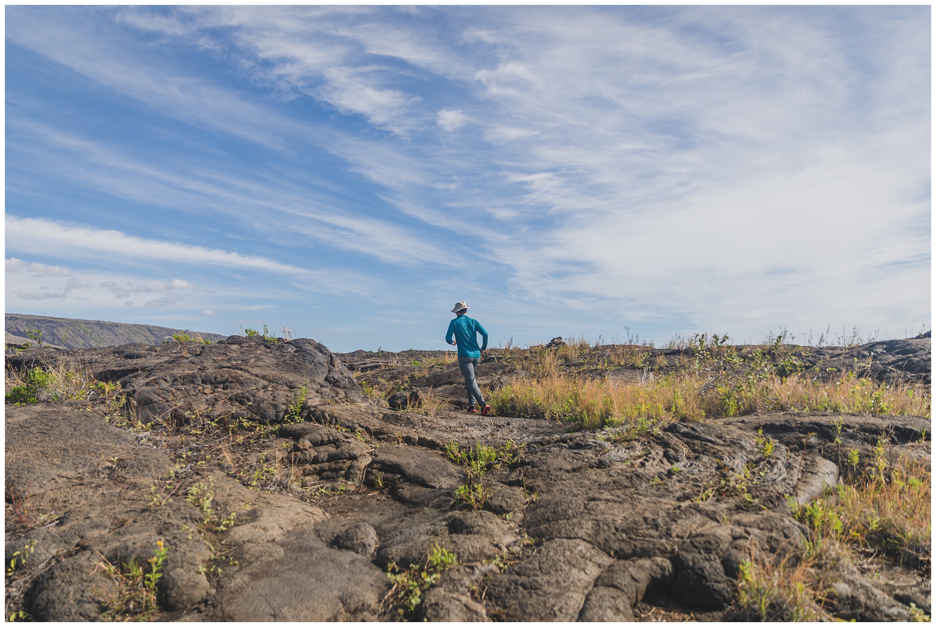
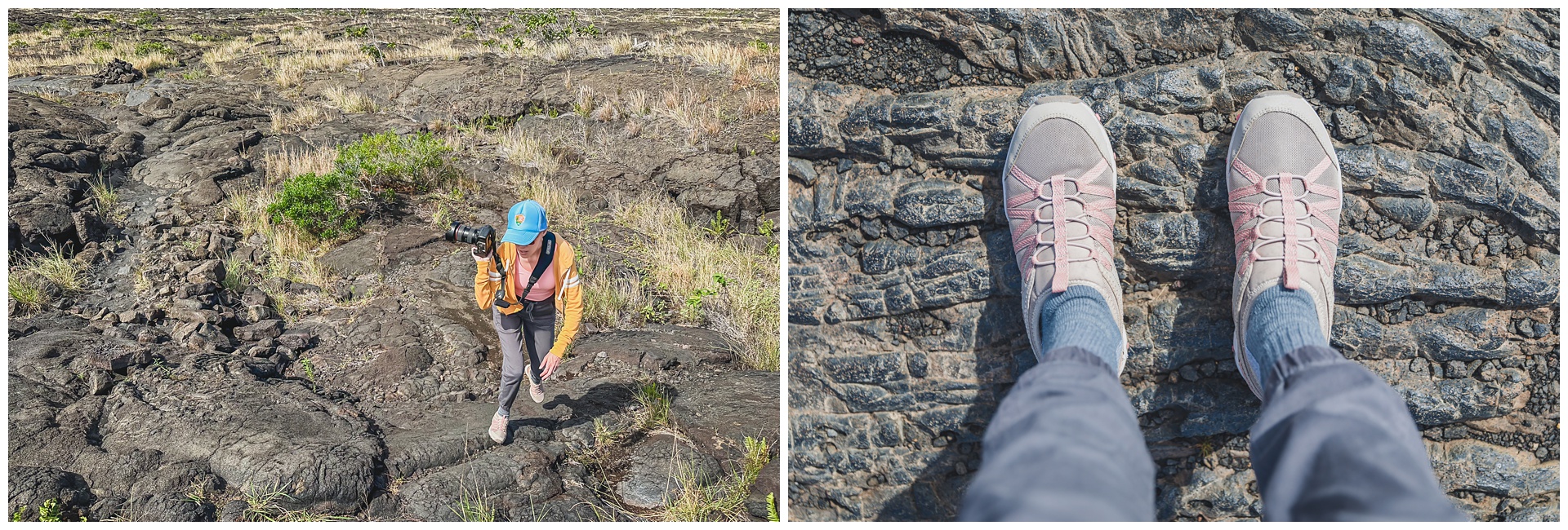
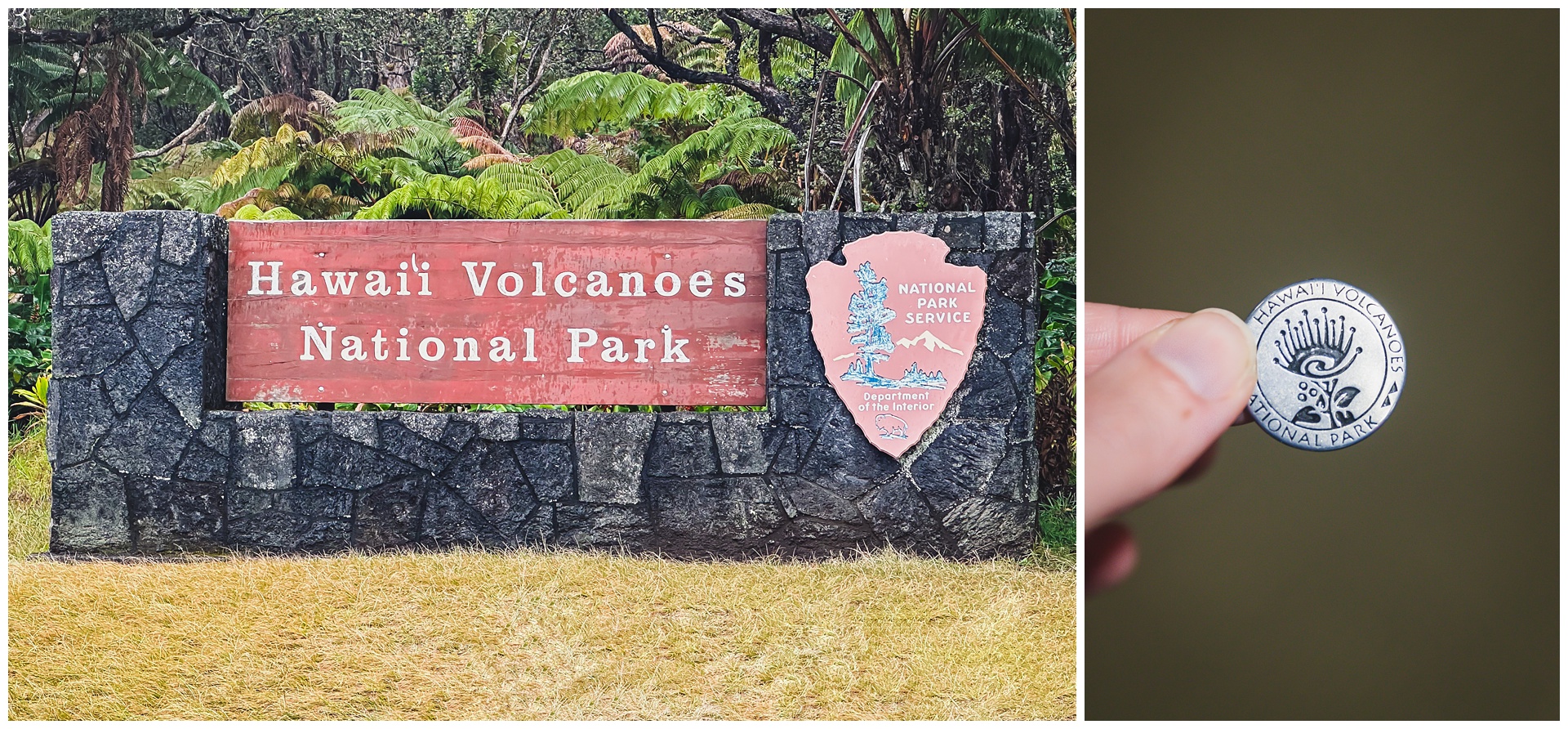 After two plane rides and a drive, we reached Hawaii Volcanoes National Park. It’s home to two of the world’s most active volcanoes, Kīlauea and Mauna Loa. Our visit happened to fall during a two-month period when Kīlauea was active, so we lucked out in terms of seeing lava. But first, we hiked several miles across a solidified lava lake on the floor of the Kīlauea crater:
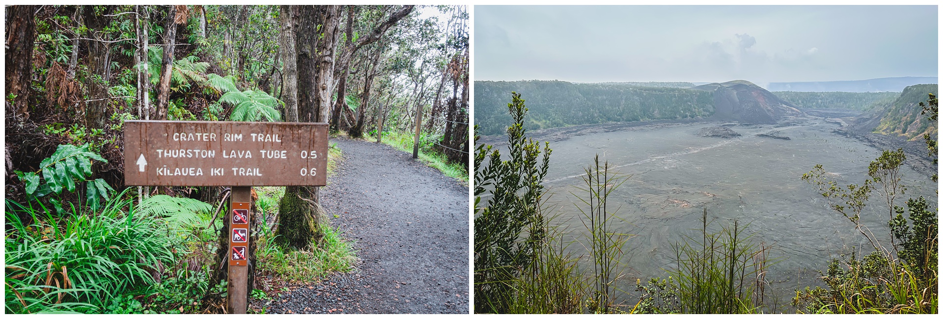
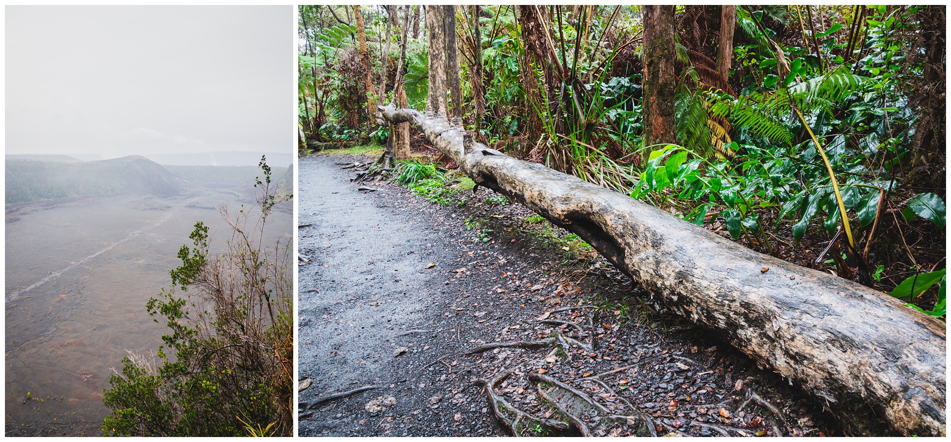
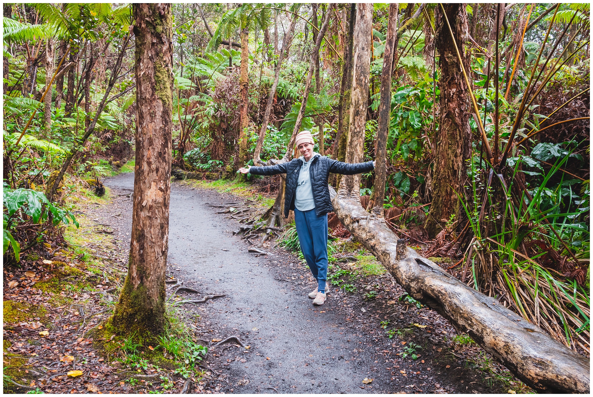
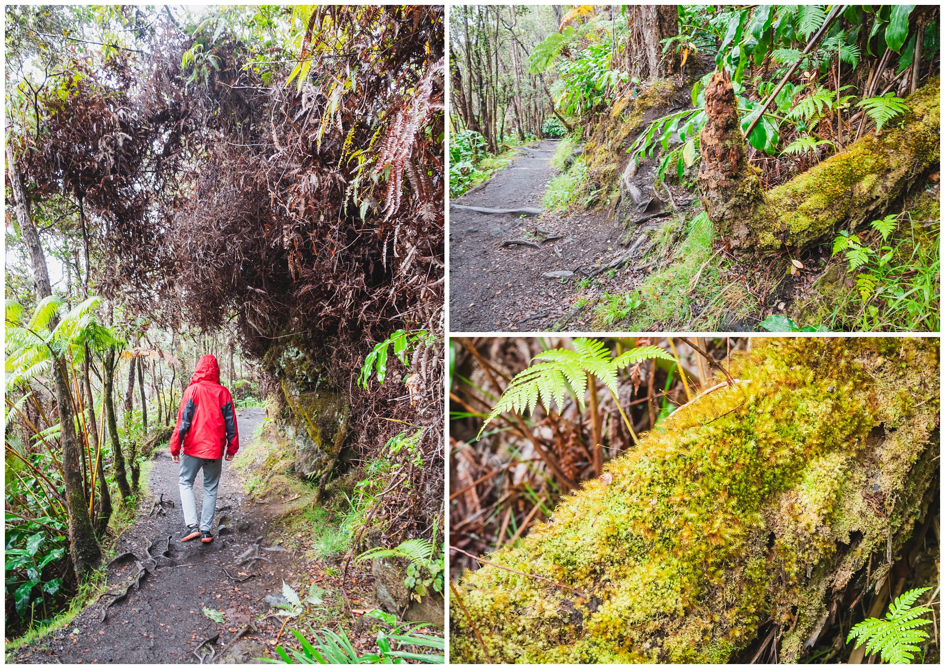
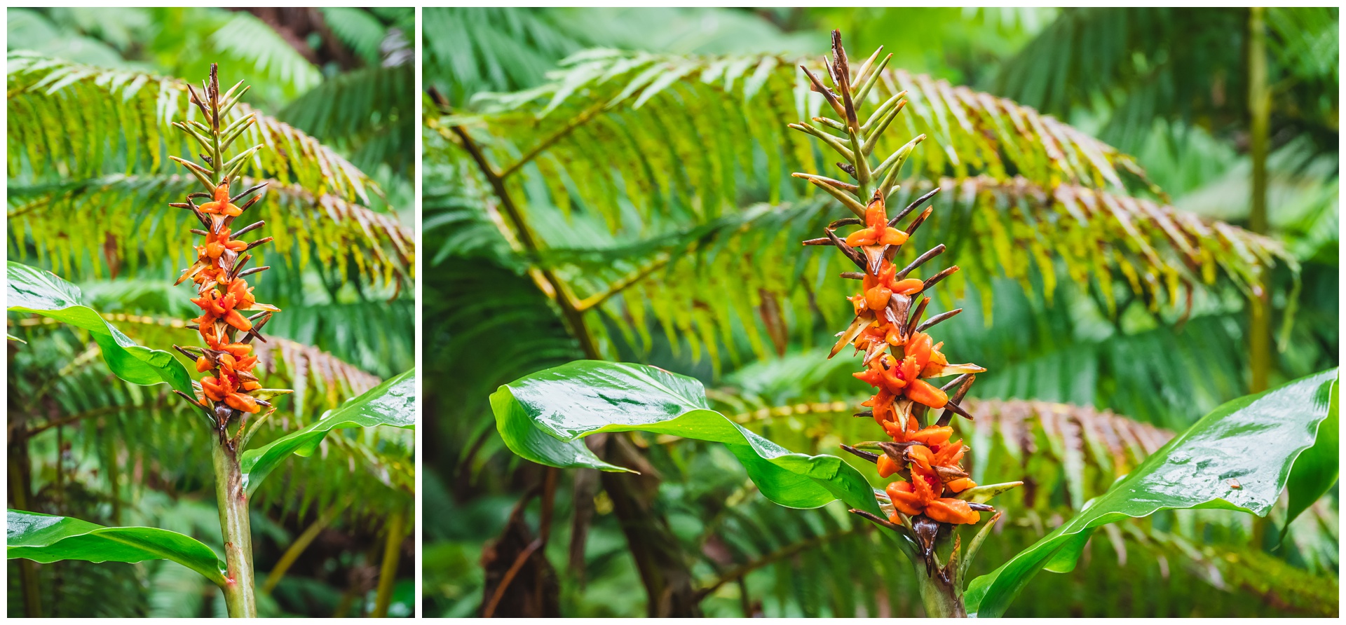
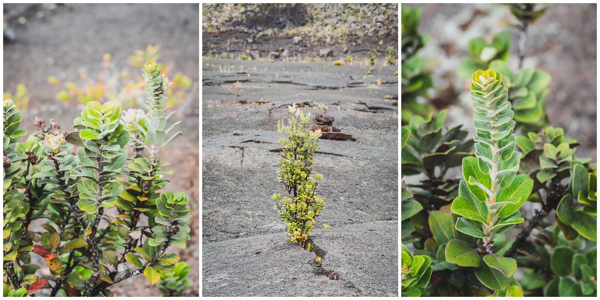
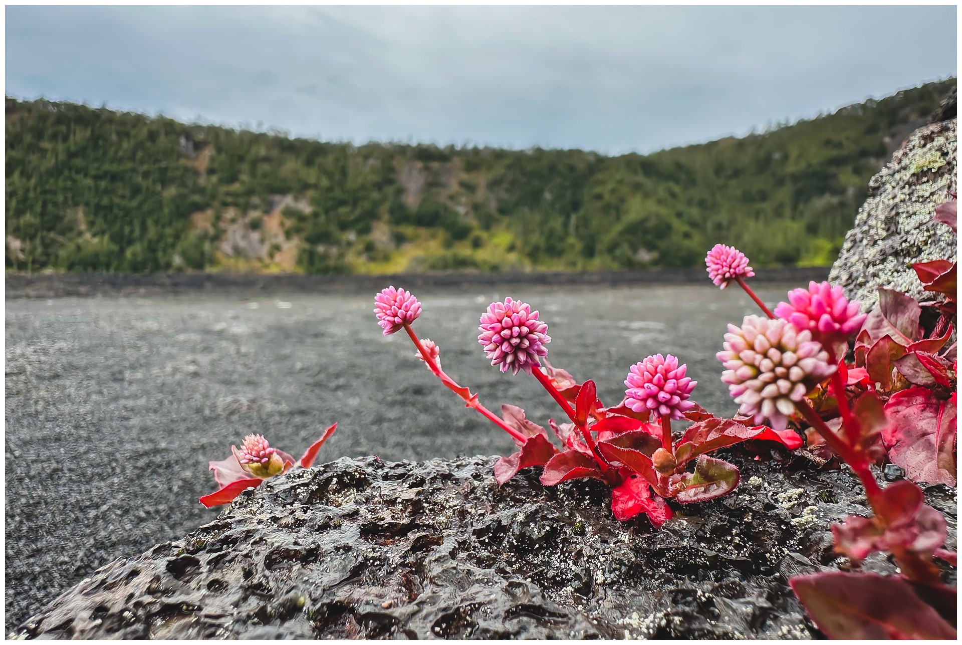
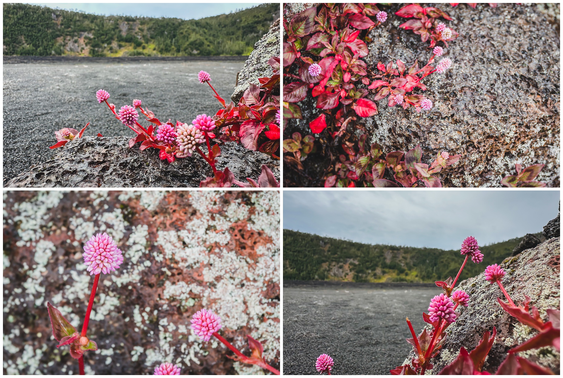
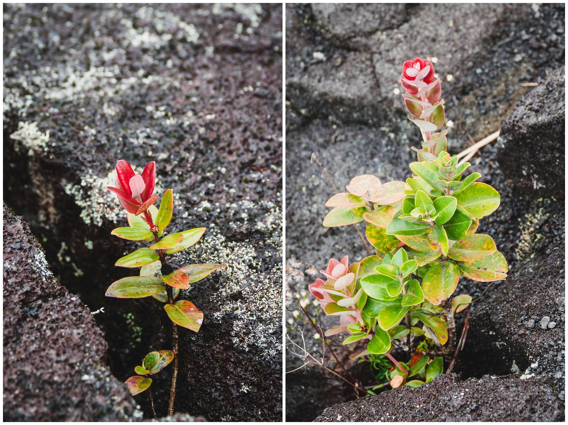
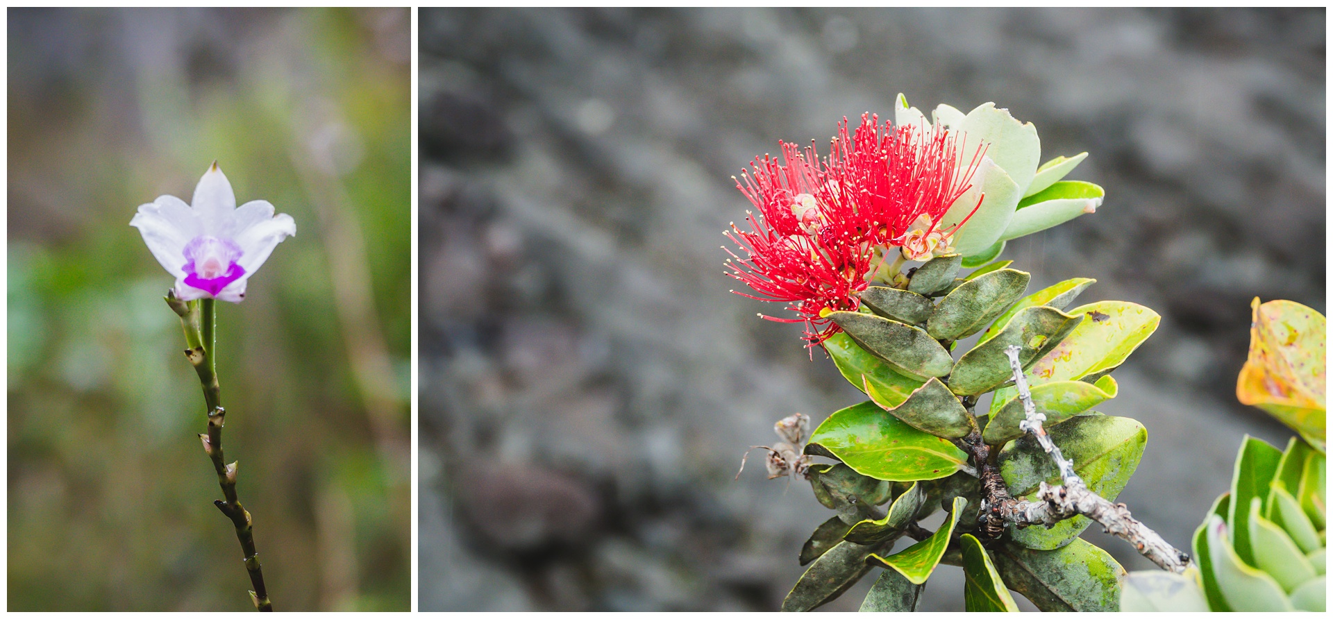
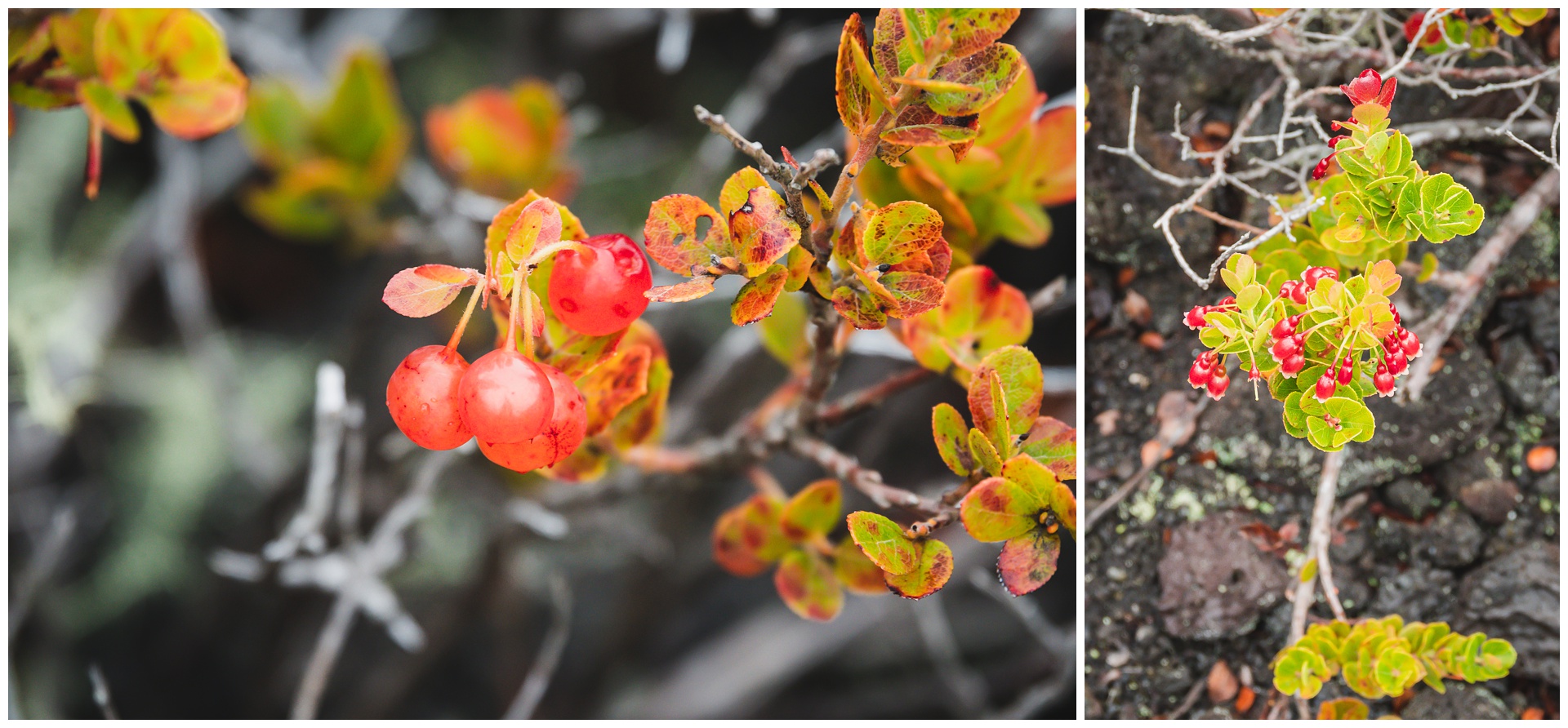
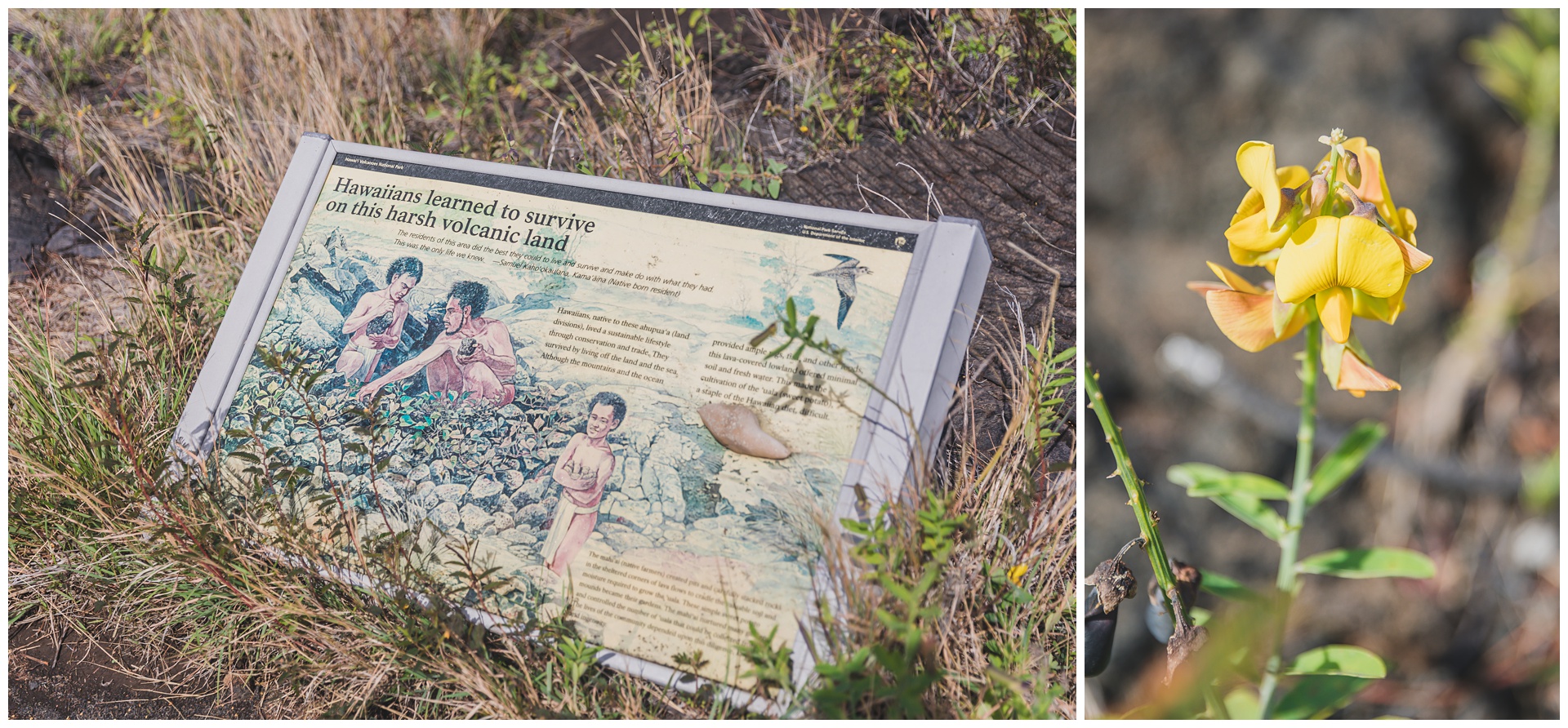
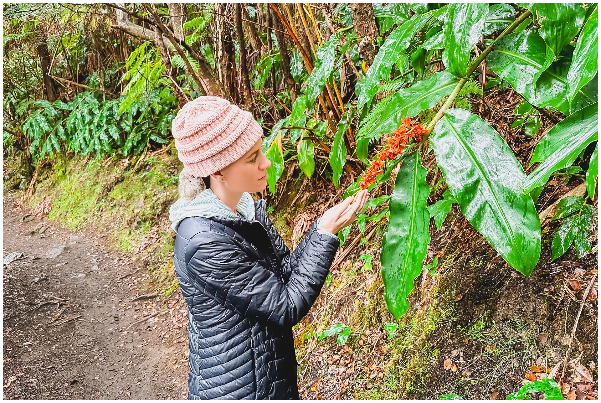 The trail to the base of the crater descends through a lush rainforest, and all this plant life was a stark contrast to the hard, parched appearance of the lava lake. I was amazed to see beautiful plants popping up from the crater floor, too:
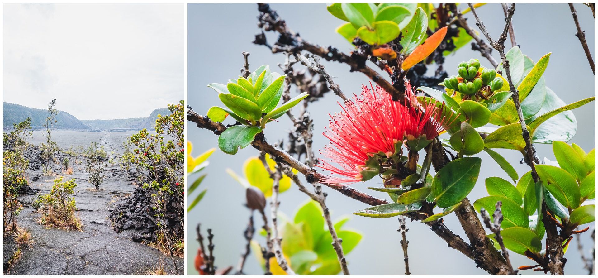
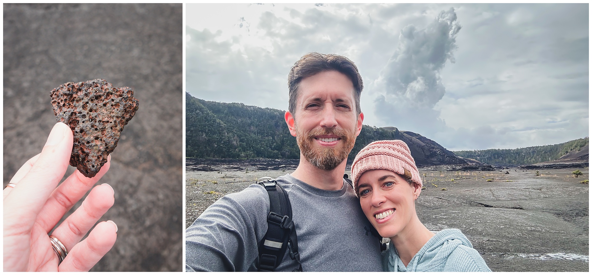
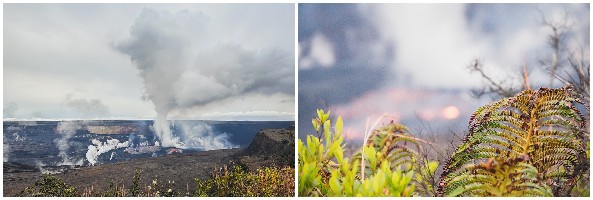
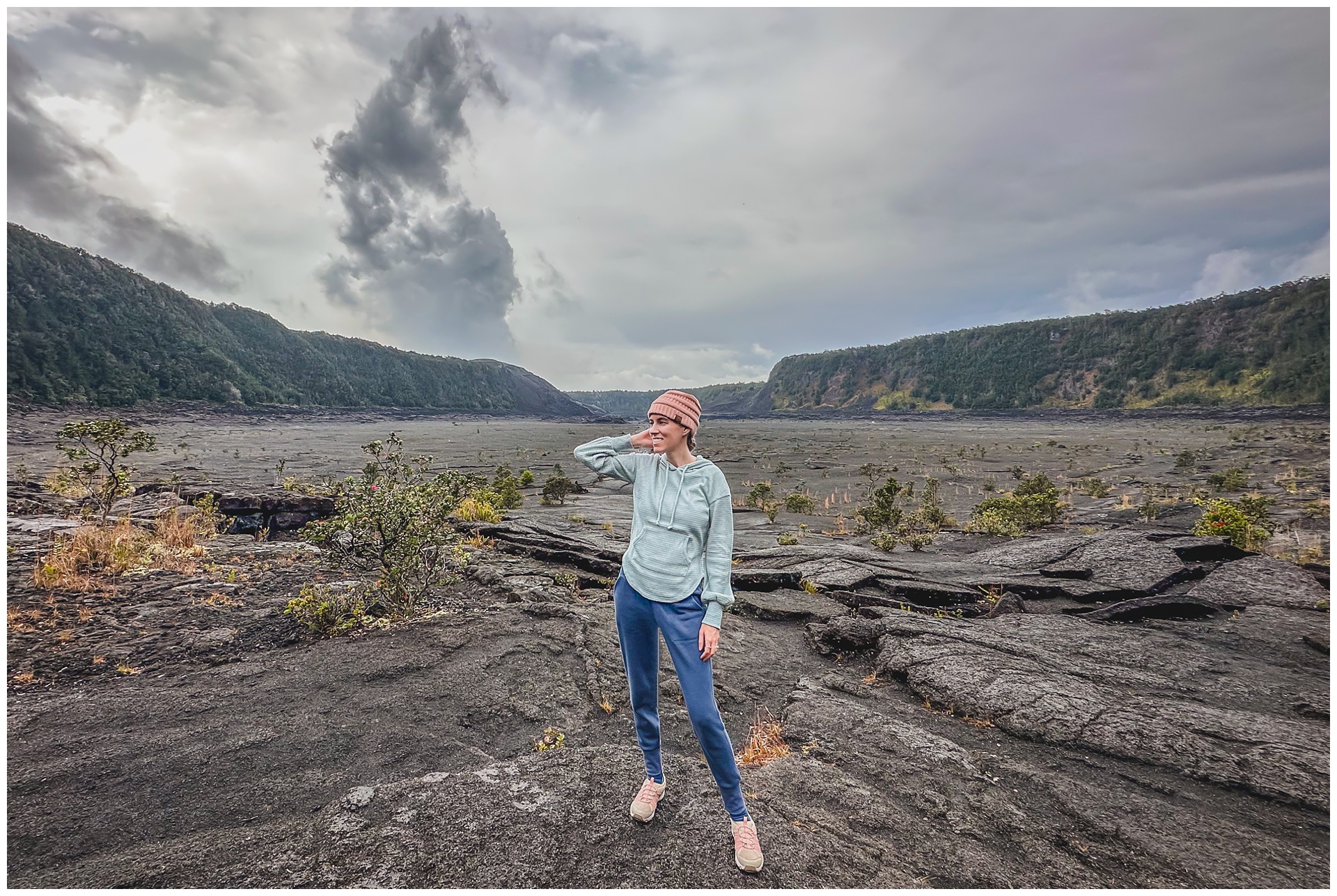 We were once again surrounded by clouds (and rain). But that prominent cloud just left of center was actually not from atmospheric activity above, but lava bubbling up below!
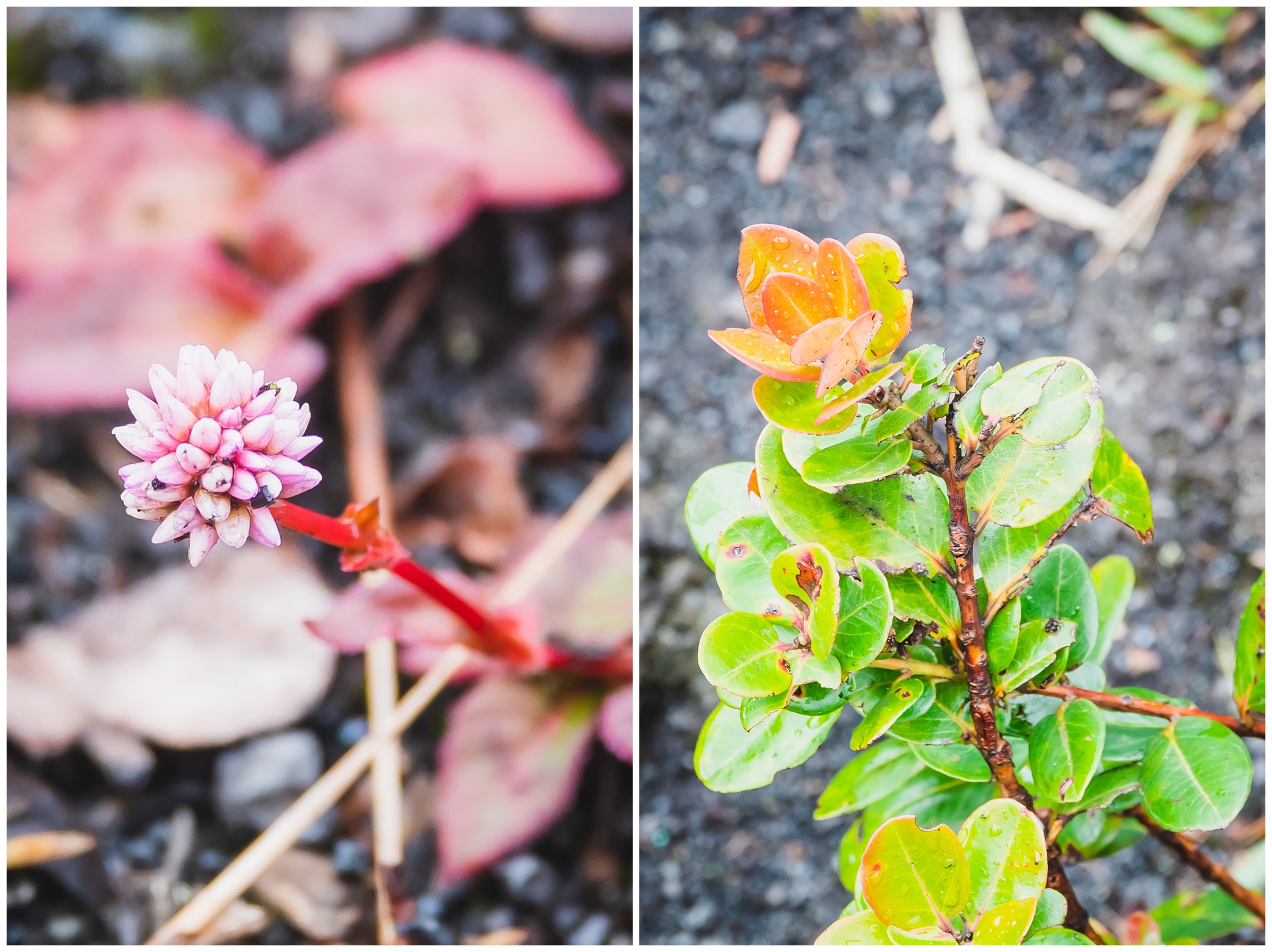
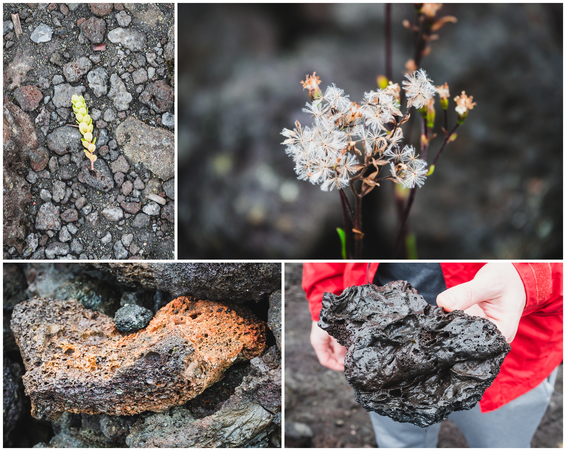
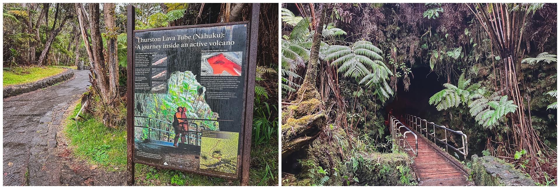
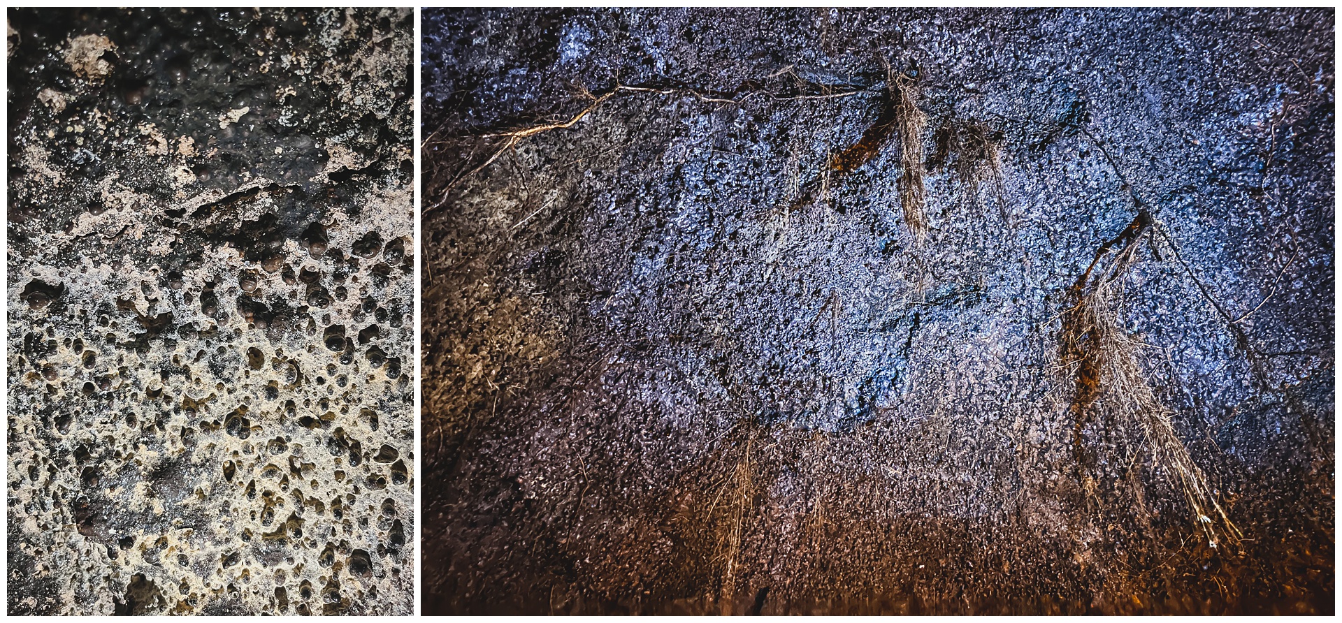
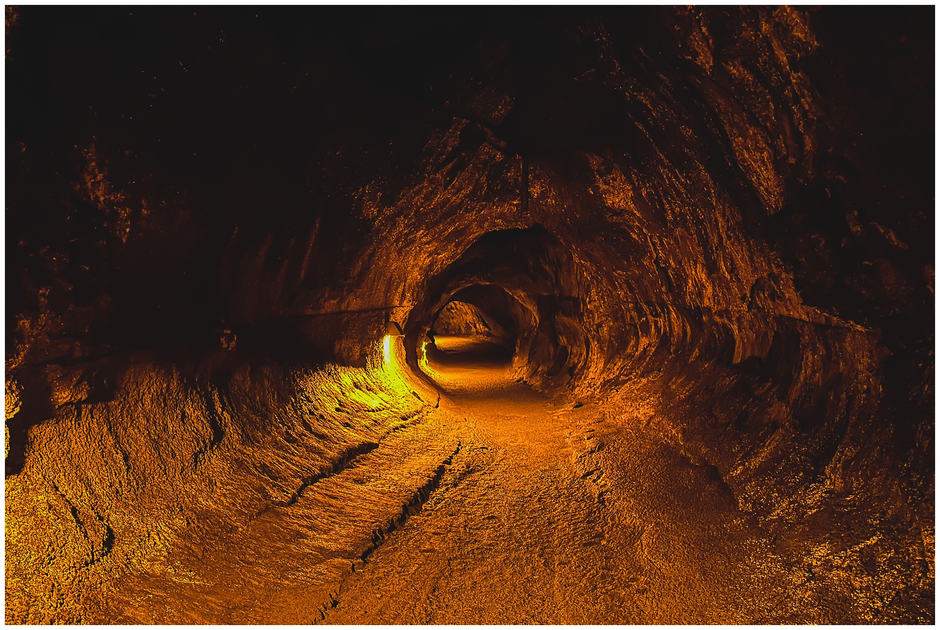
 The rain had entirely soaked us by the time we hiked out of the crater, but fortunately we were able to get a few minutes of shelter during our next hike, through the Thurston Lava Tube. The name is pretty self-explanatory, but as for the science behind it: When lava is active, the outer crust begins to harden while the inner portion continues to flow. This tunnel formation remains after the flow stops, in this case creating a 600-foot passageway surrounded by rainforest. It could date back as far as 500 years.
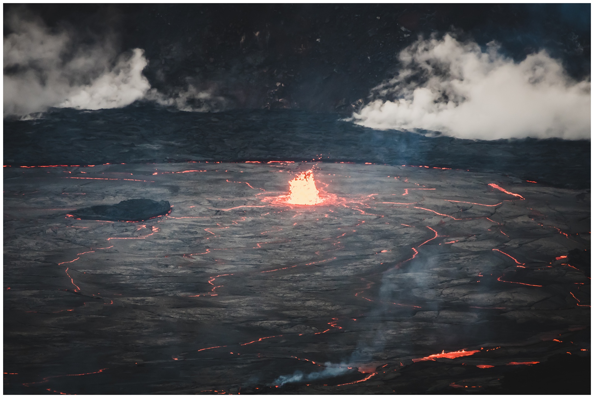
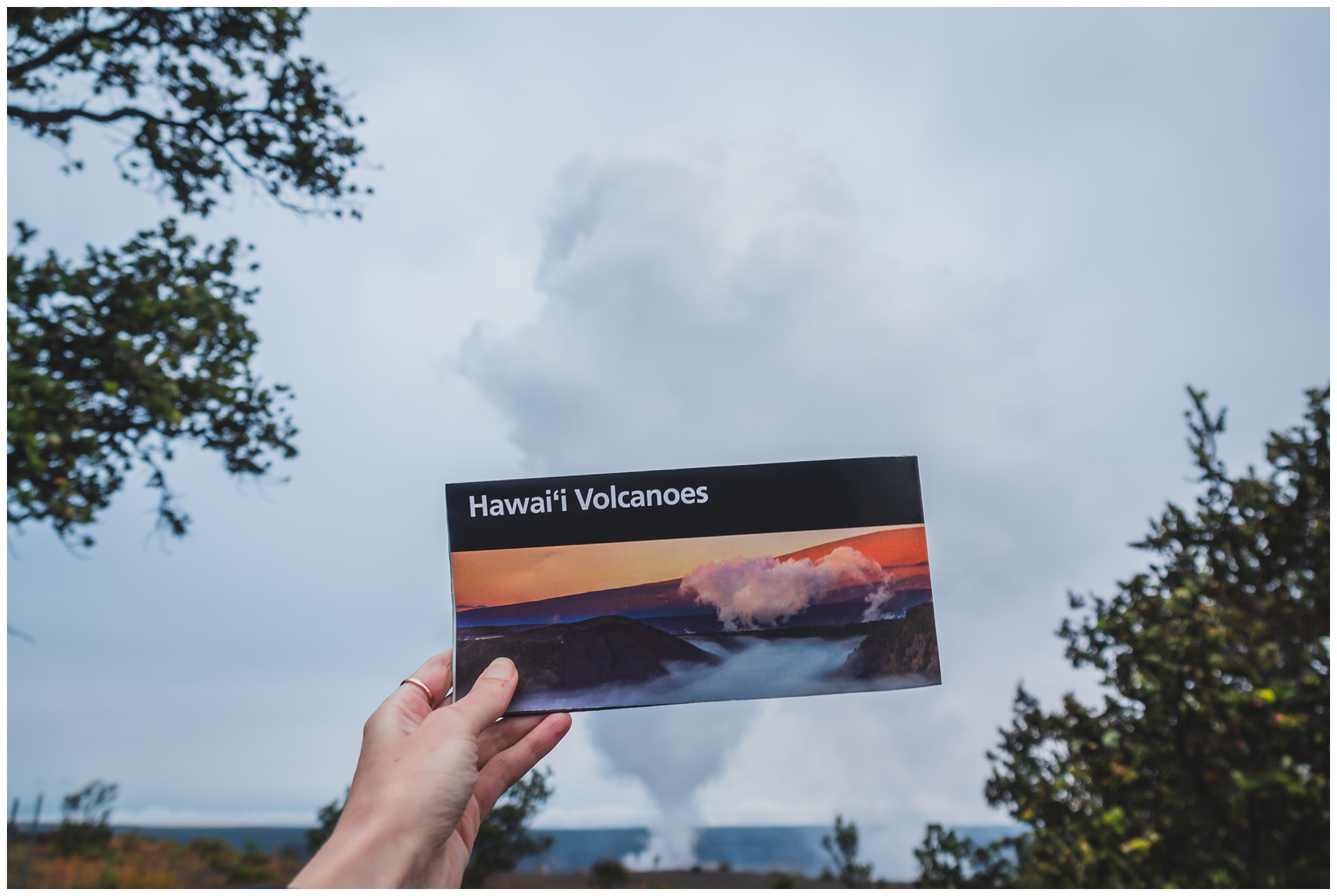
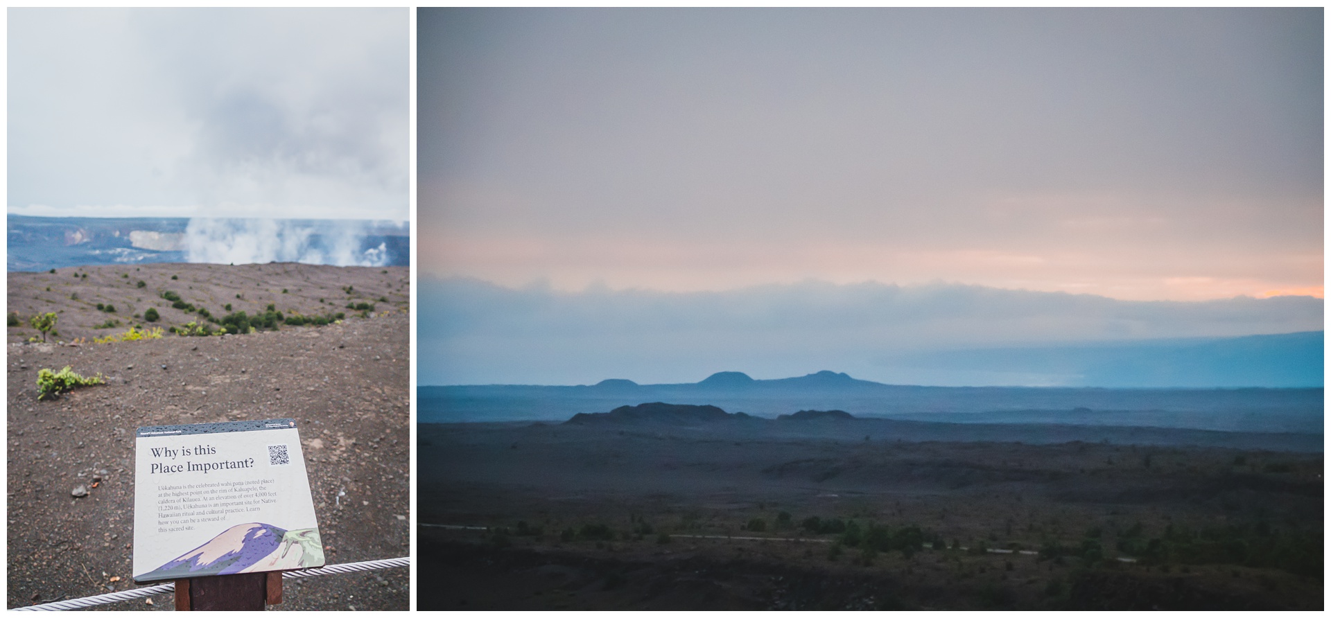
 We next took Crater Rim Drive to a lookout on the Kīlauea caldera, getting our first look at the lava flow. And what an incredible first it was! This eruption lasted from January 5 to March 7 and caused the crater floor to rise 43 feet, with new lava spanning 292 acres.
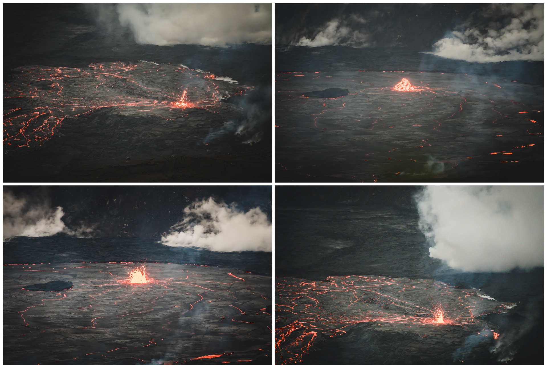
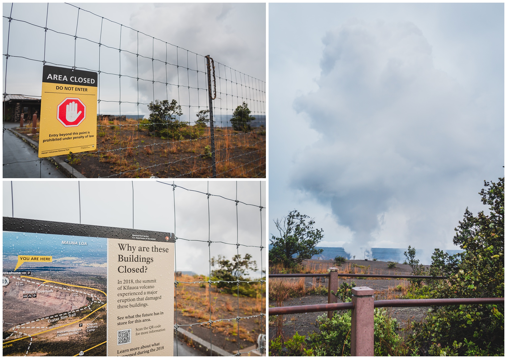 A little farther down Crater Rim Drive is another lookout that’s partially closed due to damage incurred when Kīlauea erupted in 2018. This location is also the highest point on the rim of Kīlauea’s caldera, making it a perfect place to take in a sunset and then see the fantastic spectacle of lava and smoke at night.
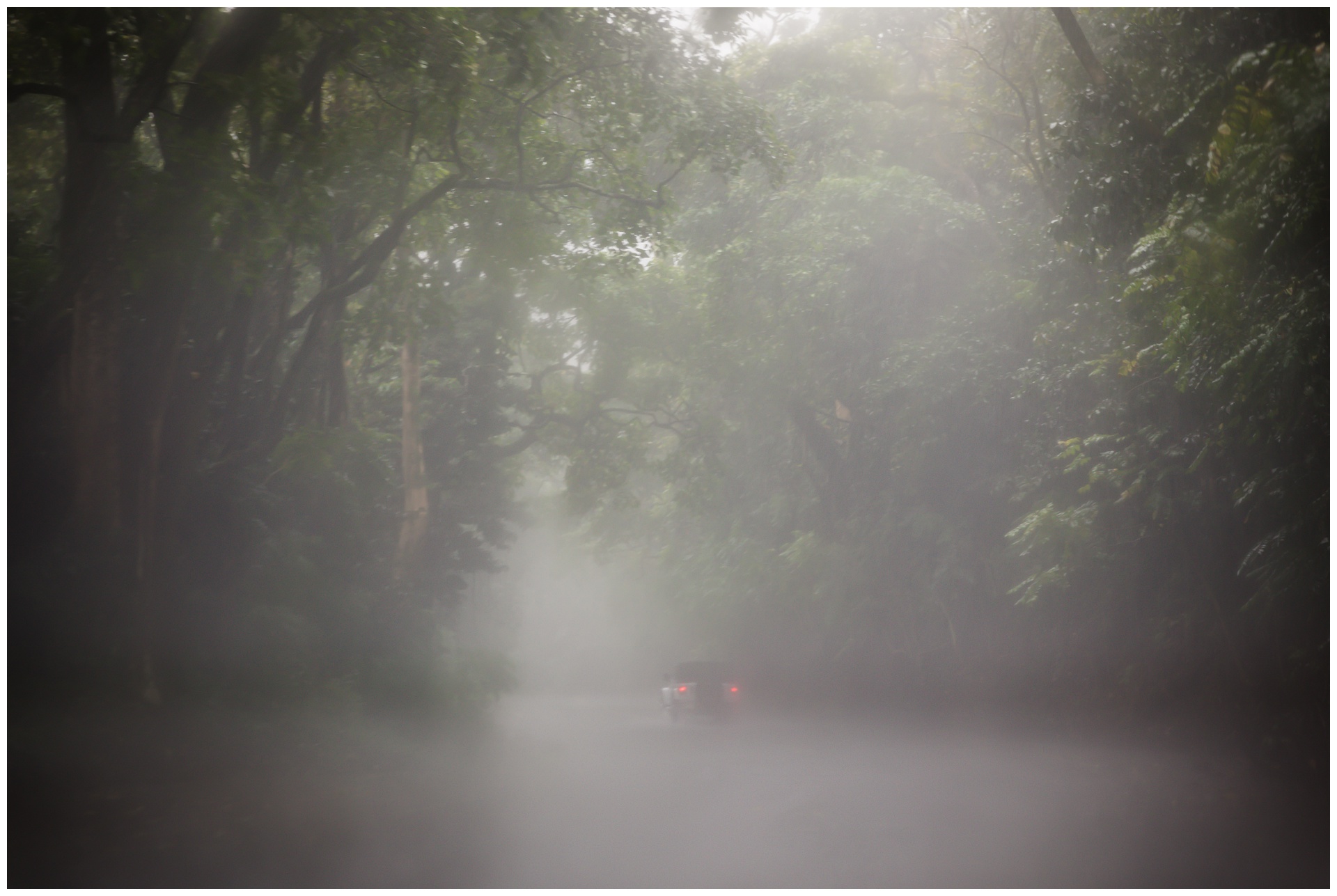
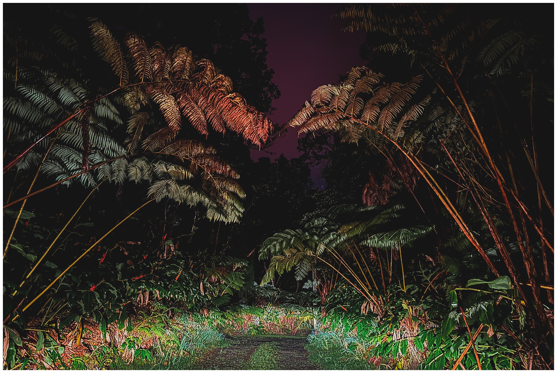
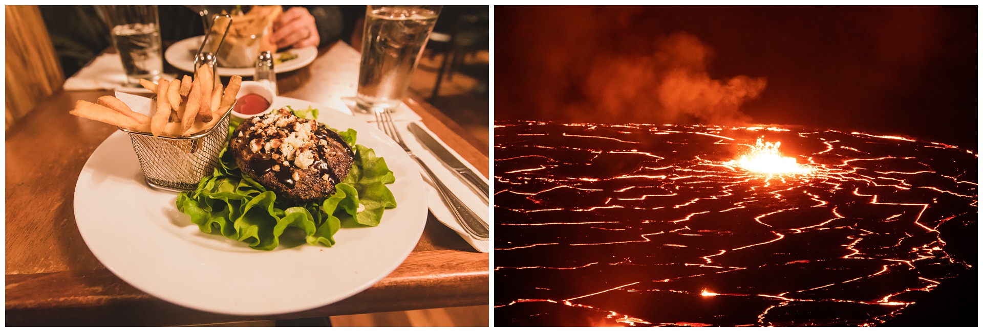 Before calling it a day in the park, we had dinner at the aptly named Volcano House, which is positioned on the rim of a crater adjoining the caldera. We then made the short drive to our Airbnb in the also aptly named Volcano Village, a quaint rainforest town with roads that look like this:
day 9 • 02.01.23 • big island
a big day on the Big Island
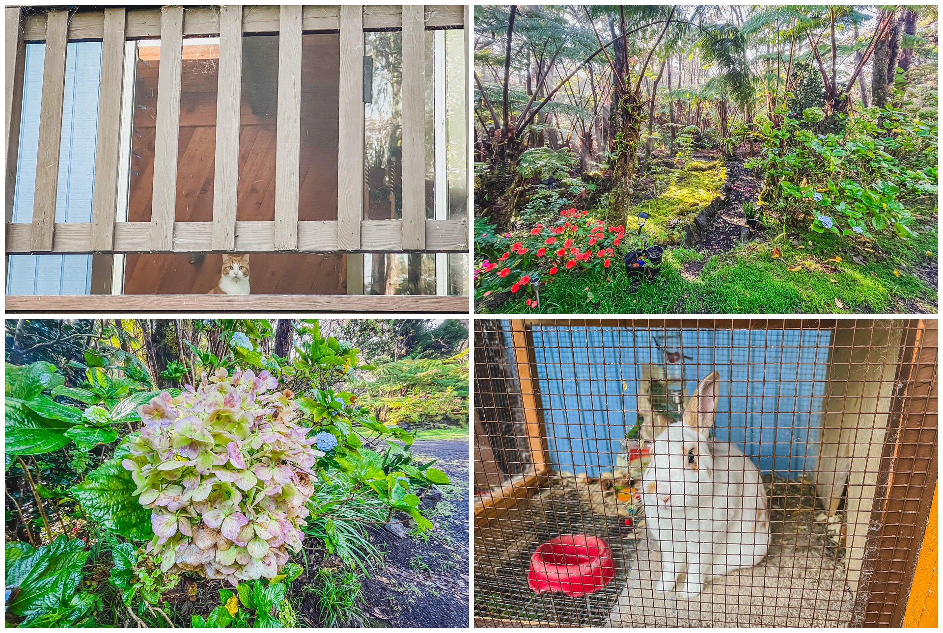
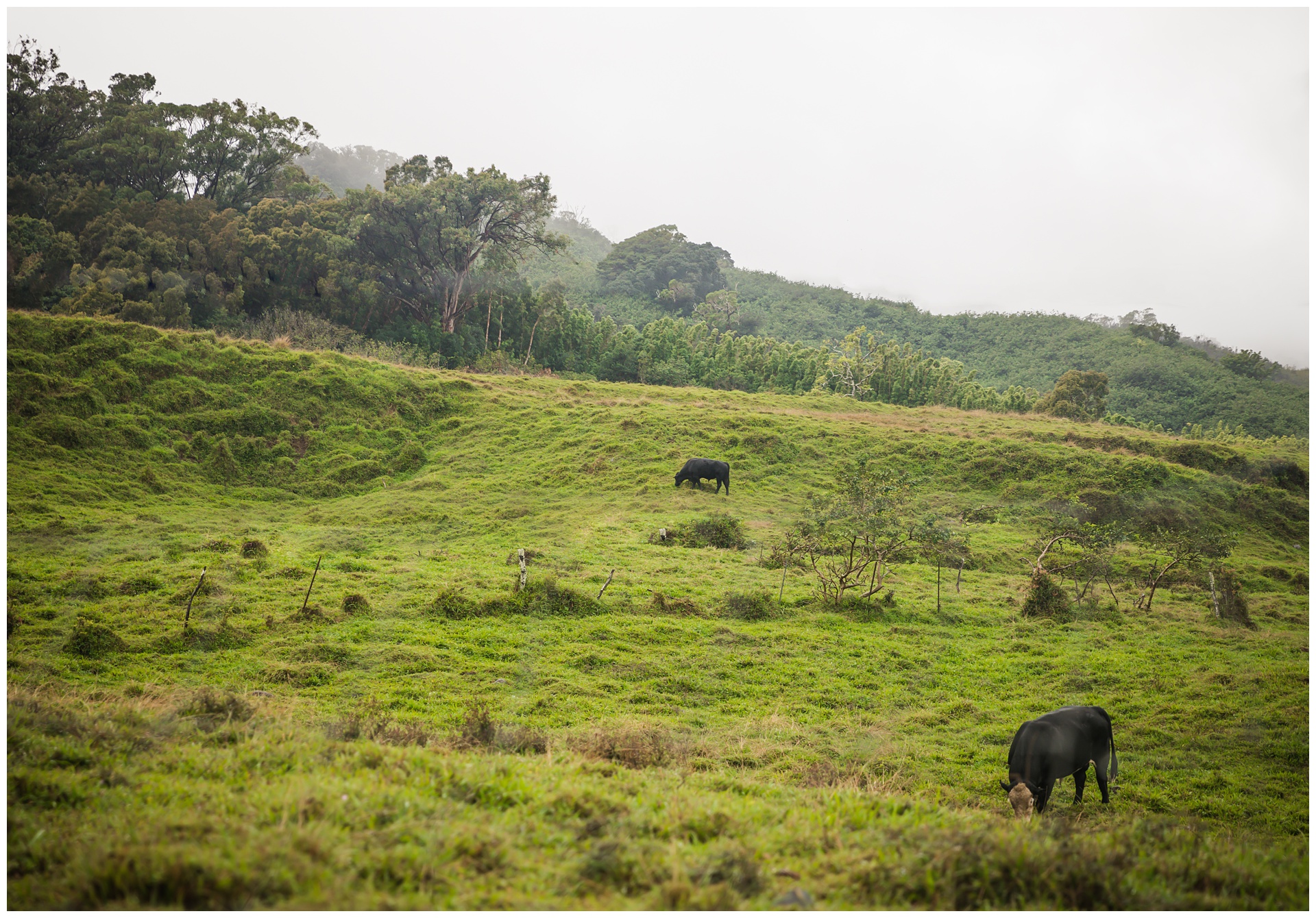
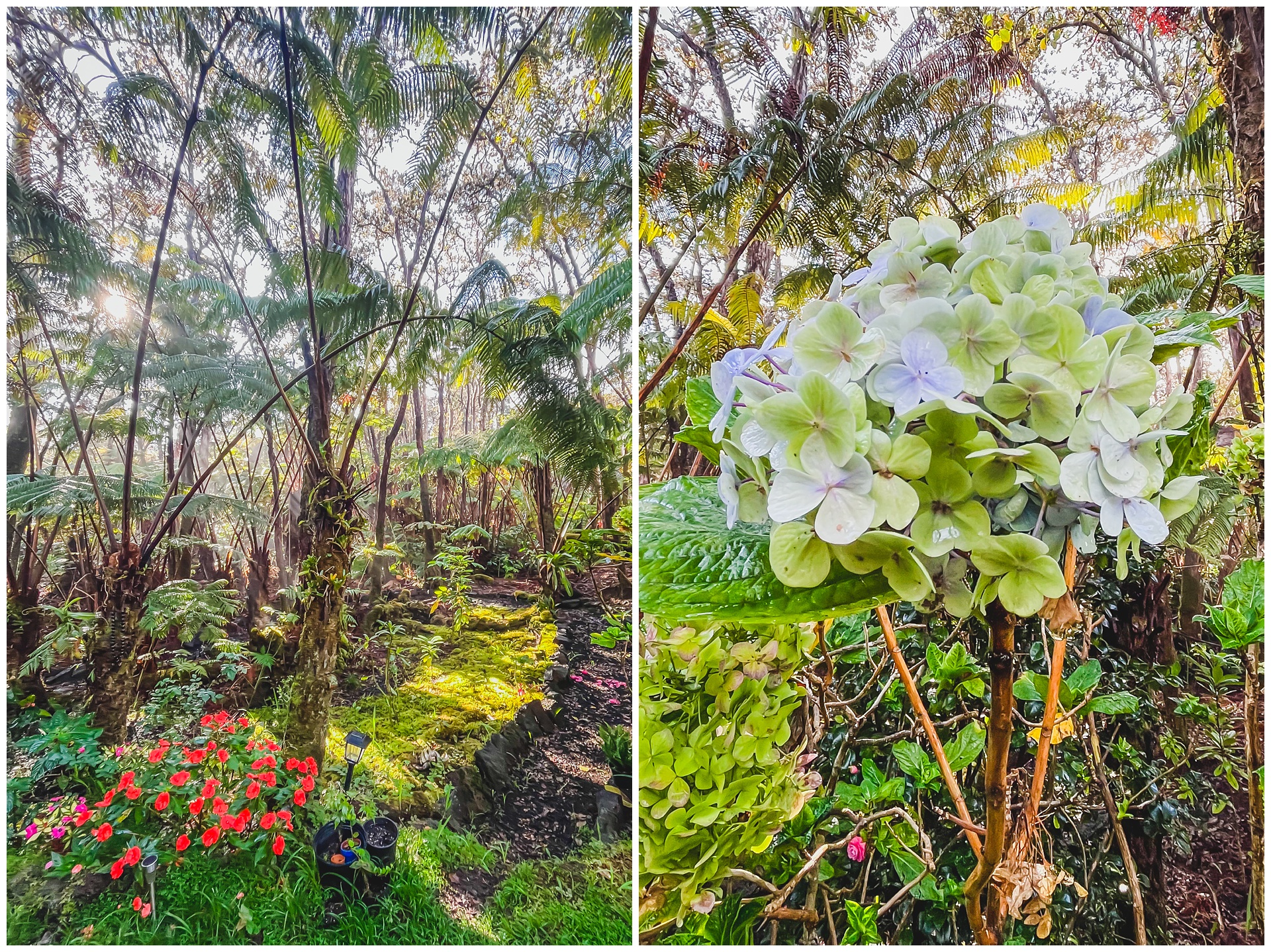 Waking up to sun in a tropical setting felt nothing short of magical after weathering four significantly rainy days out of the previous five. And this truly was a magical day, taking us halfway around the island with amazing sights along the way – starting with some more exploration in the National Park.
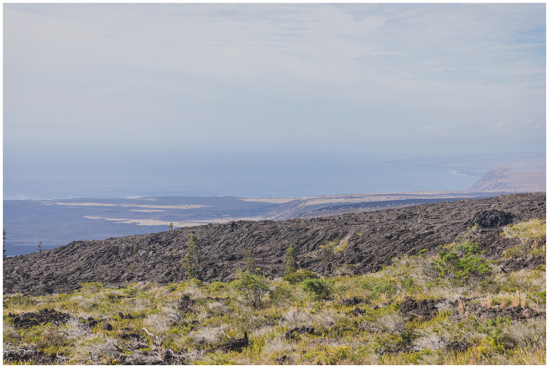
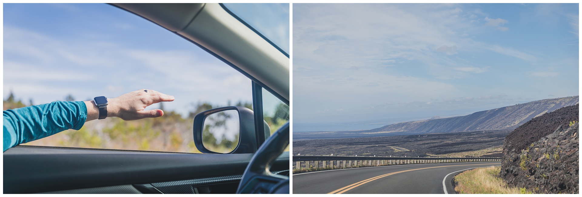
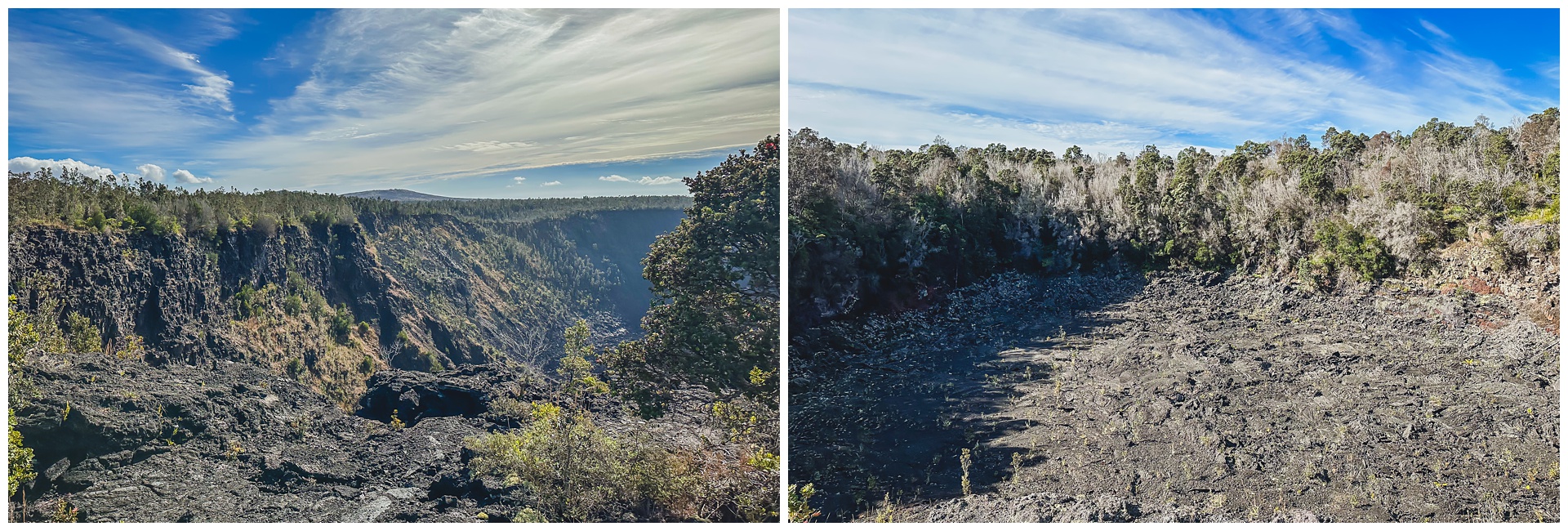 During this stint in the park we drove Chain of Craters Road, which winds 19 miles to the coast and passes craters caused by volcanic activity.
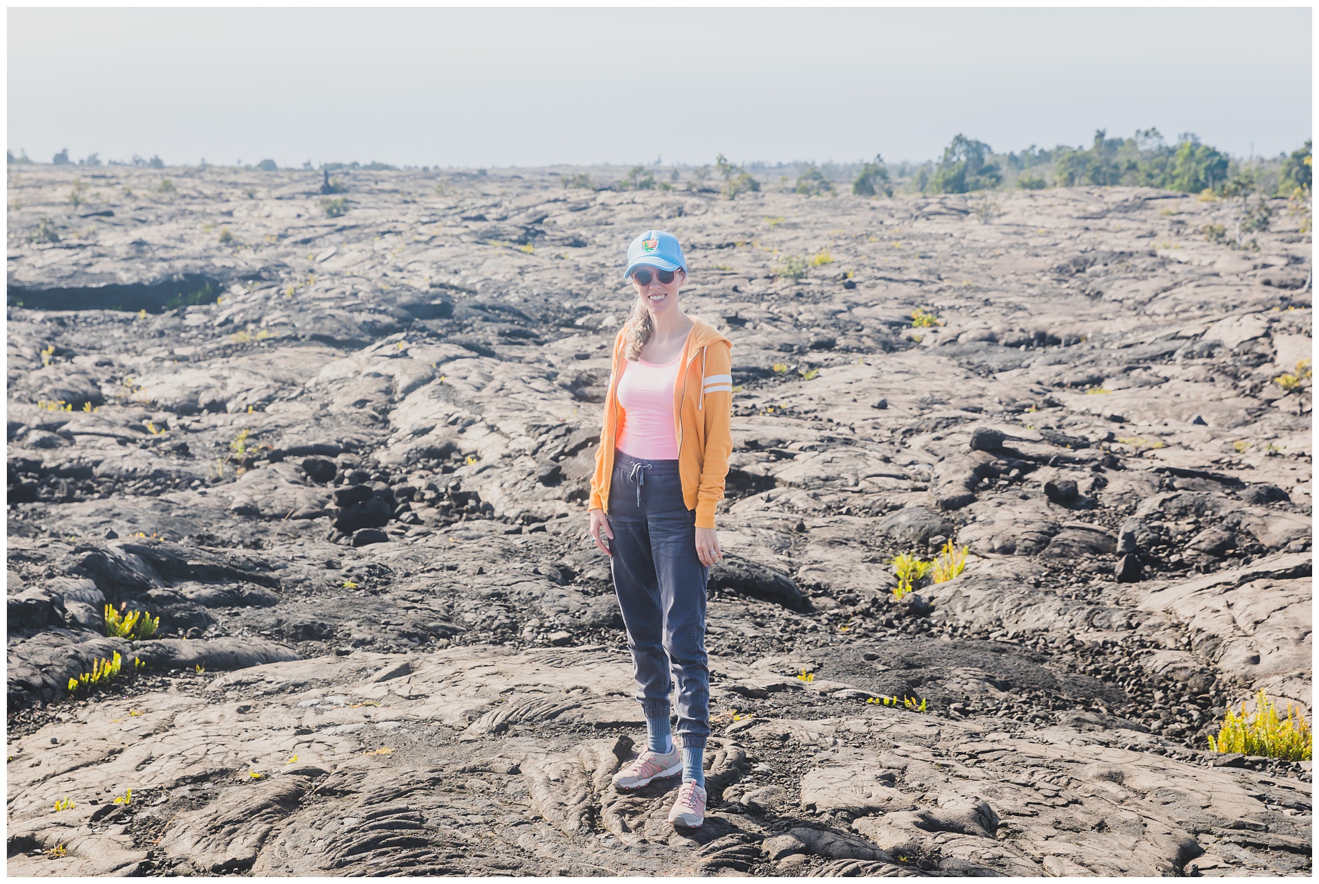
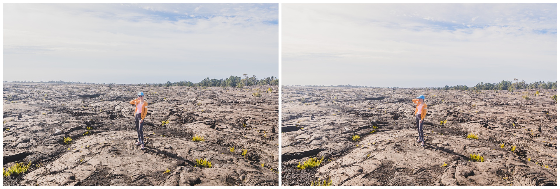
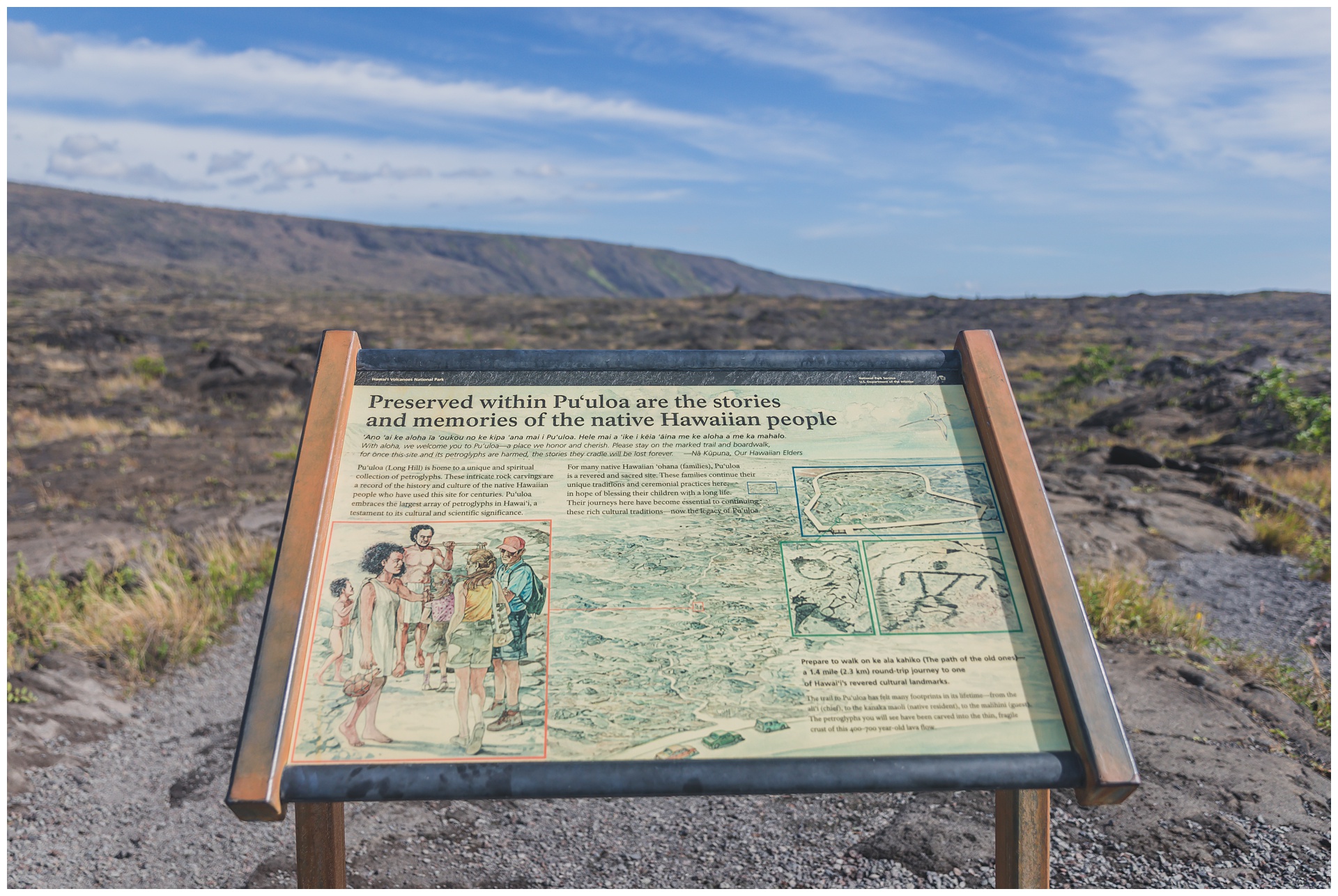
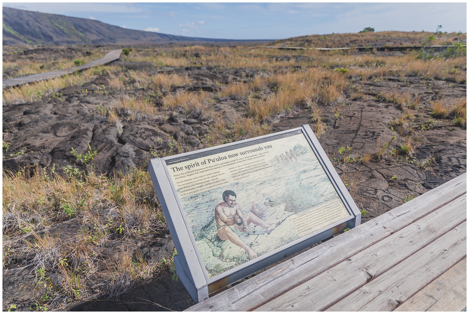
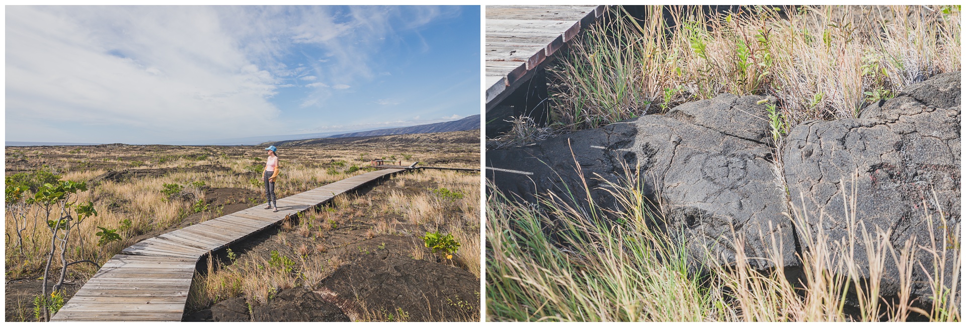
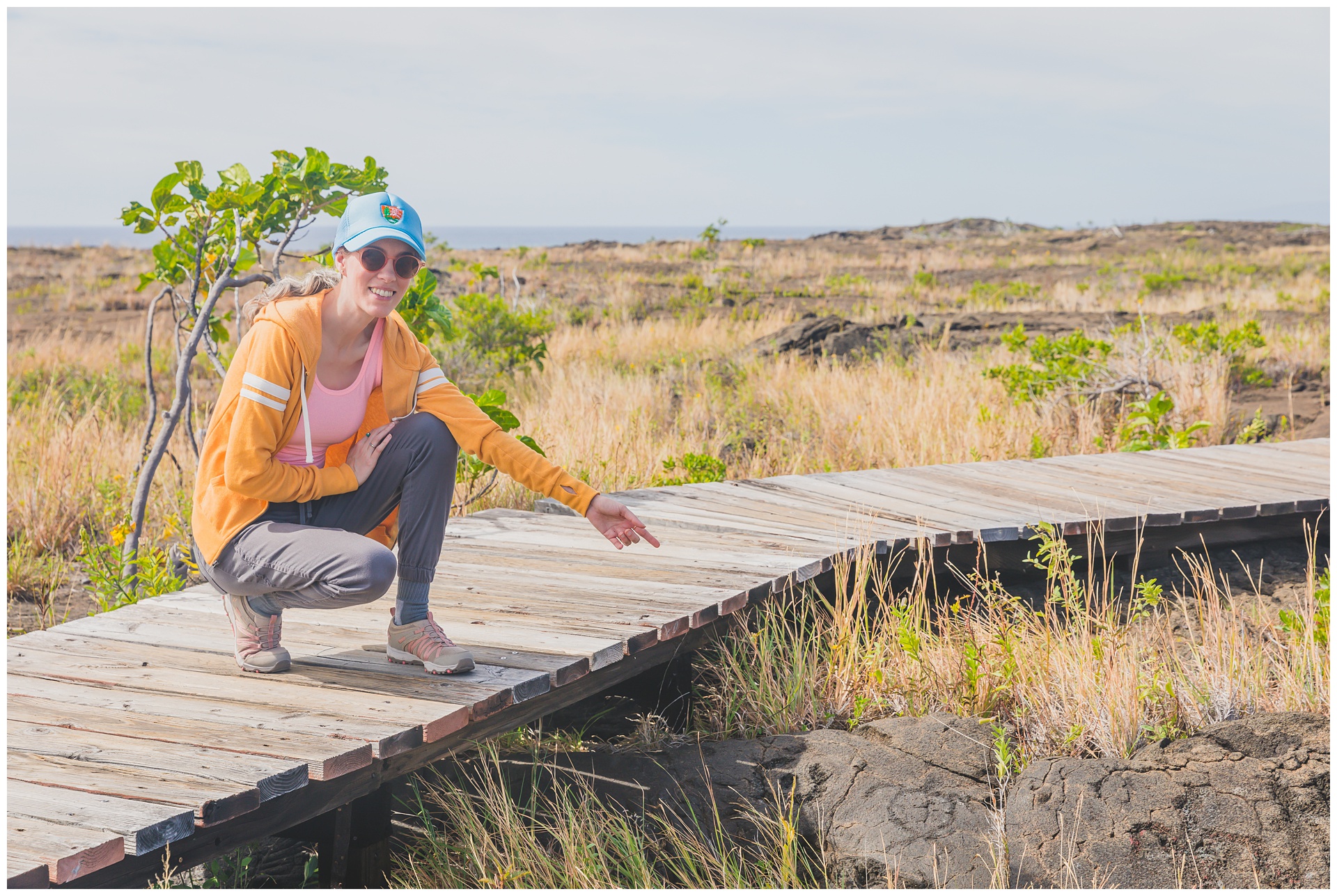
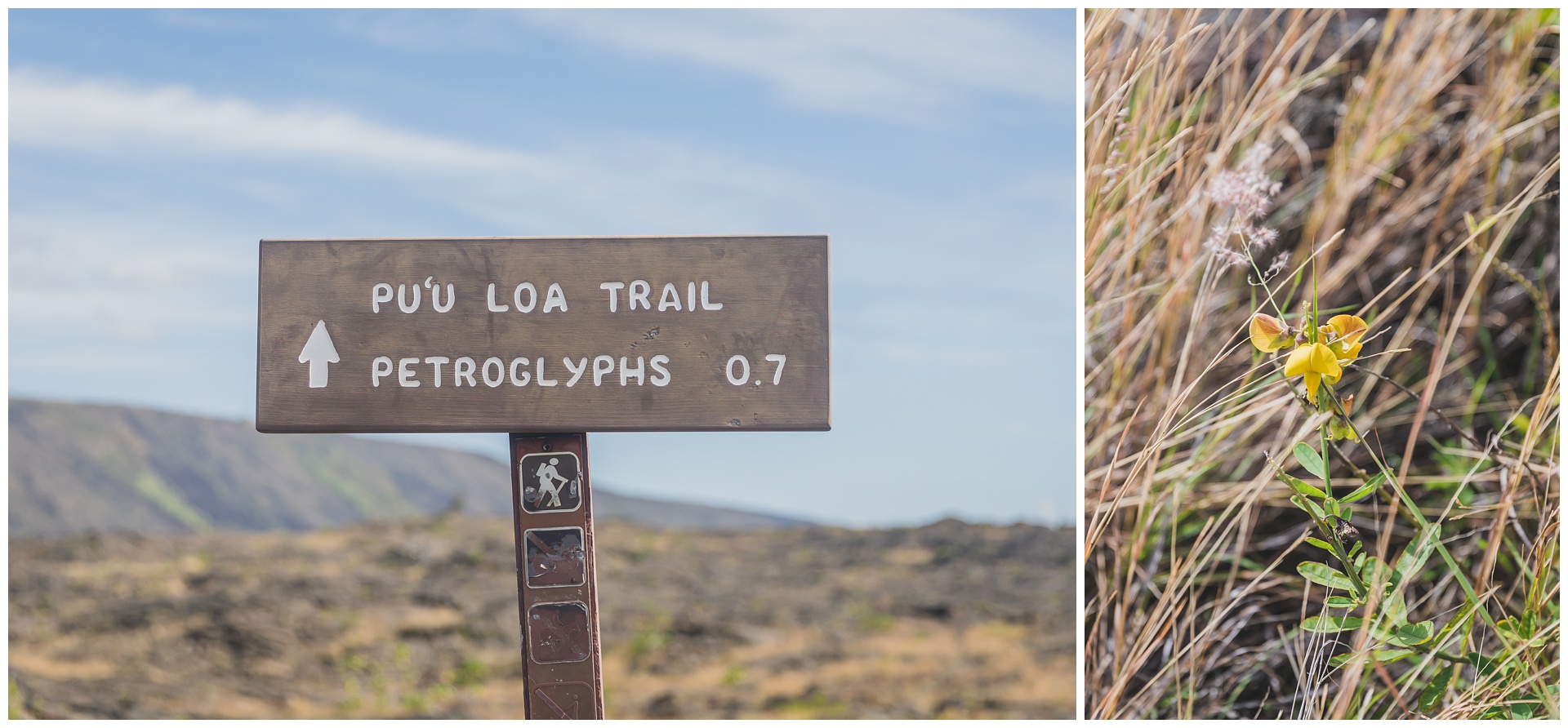 Also along Chain of Craters Road is a trail leading to ancient petroglyphs. Although we had a packed itinerary for the day, we hurried out to take a look at them.
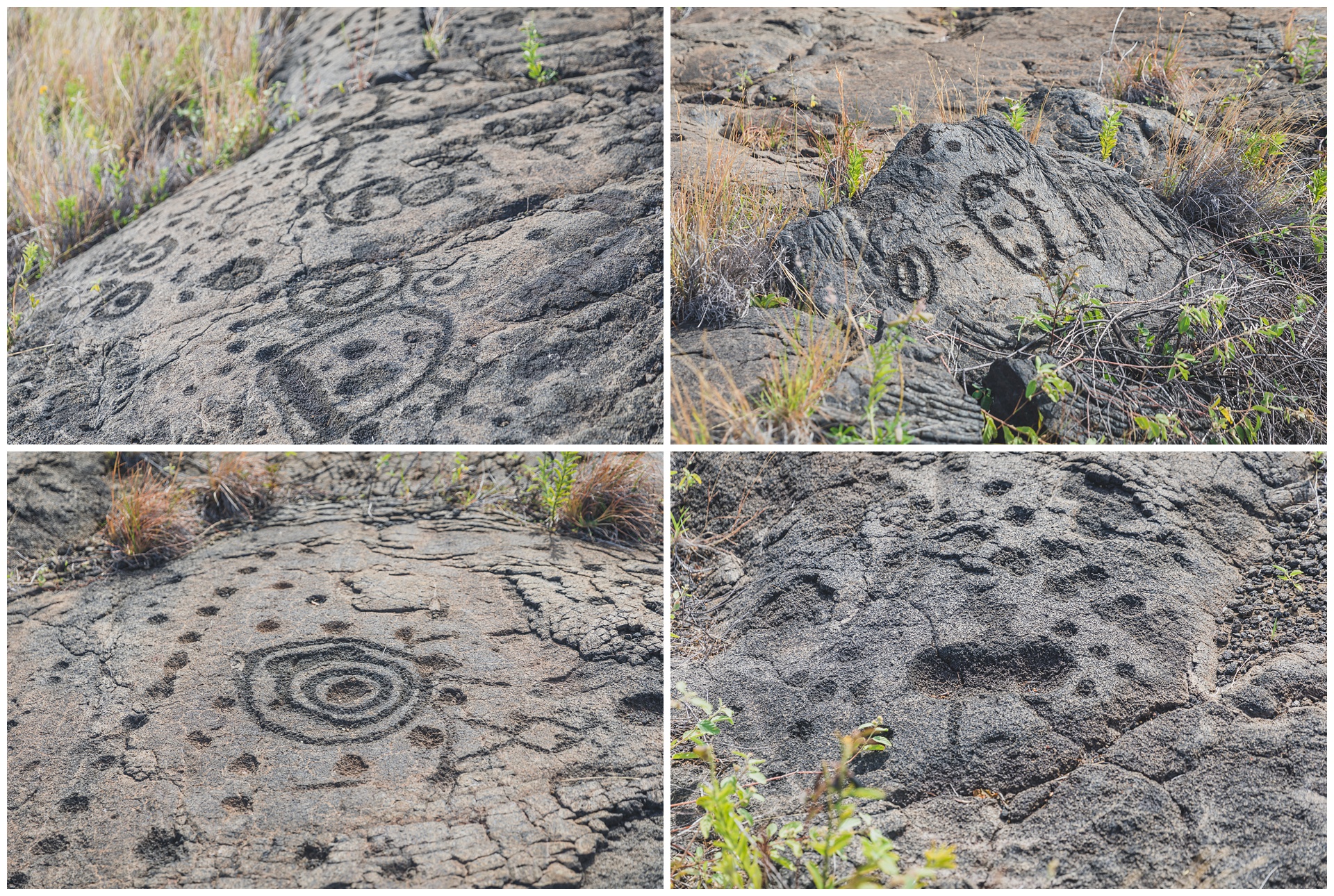
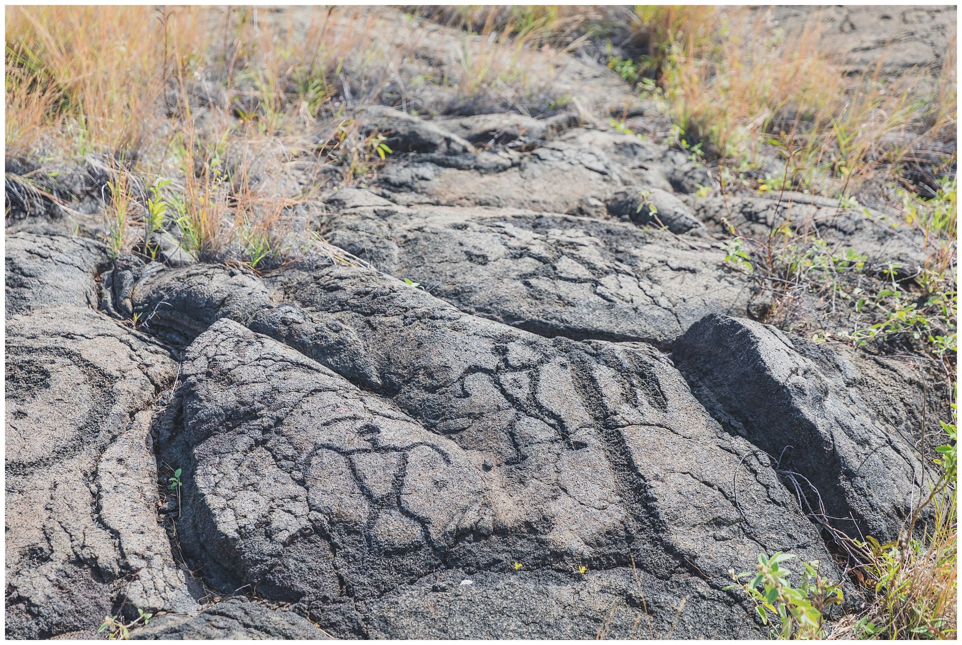
 My favorite petroglyph was this sea turtle.

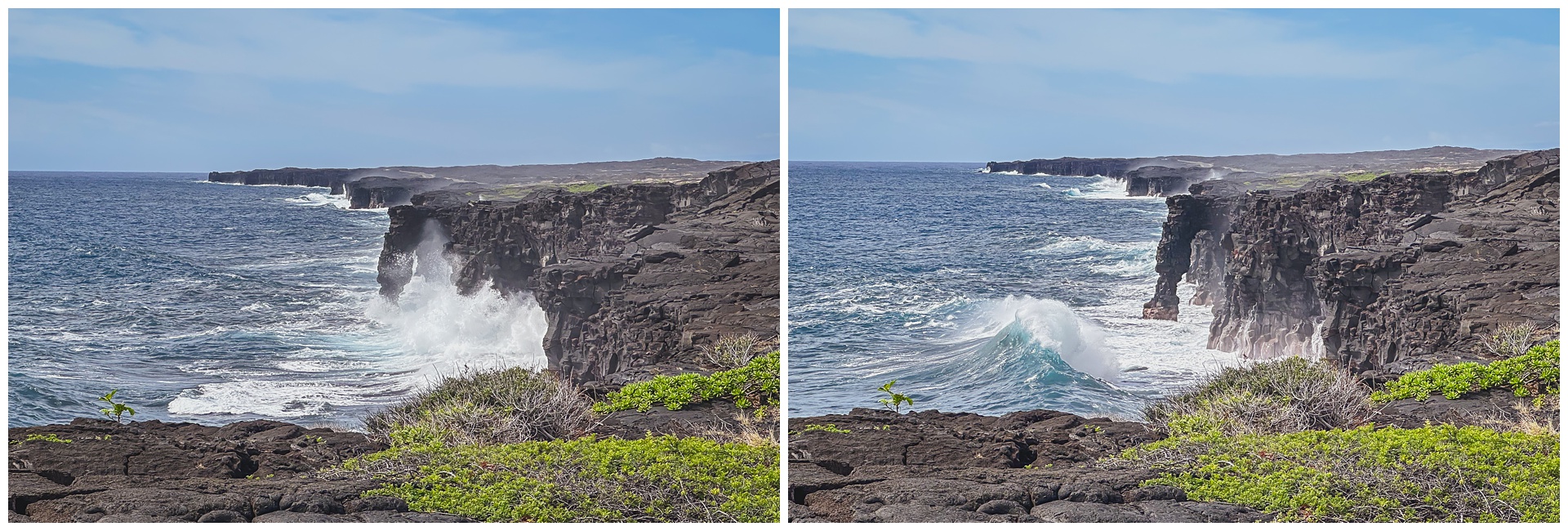
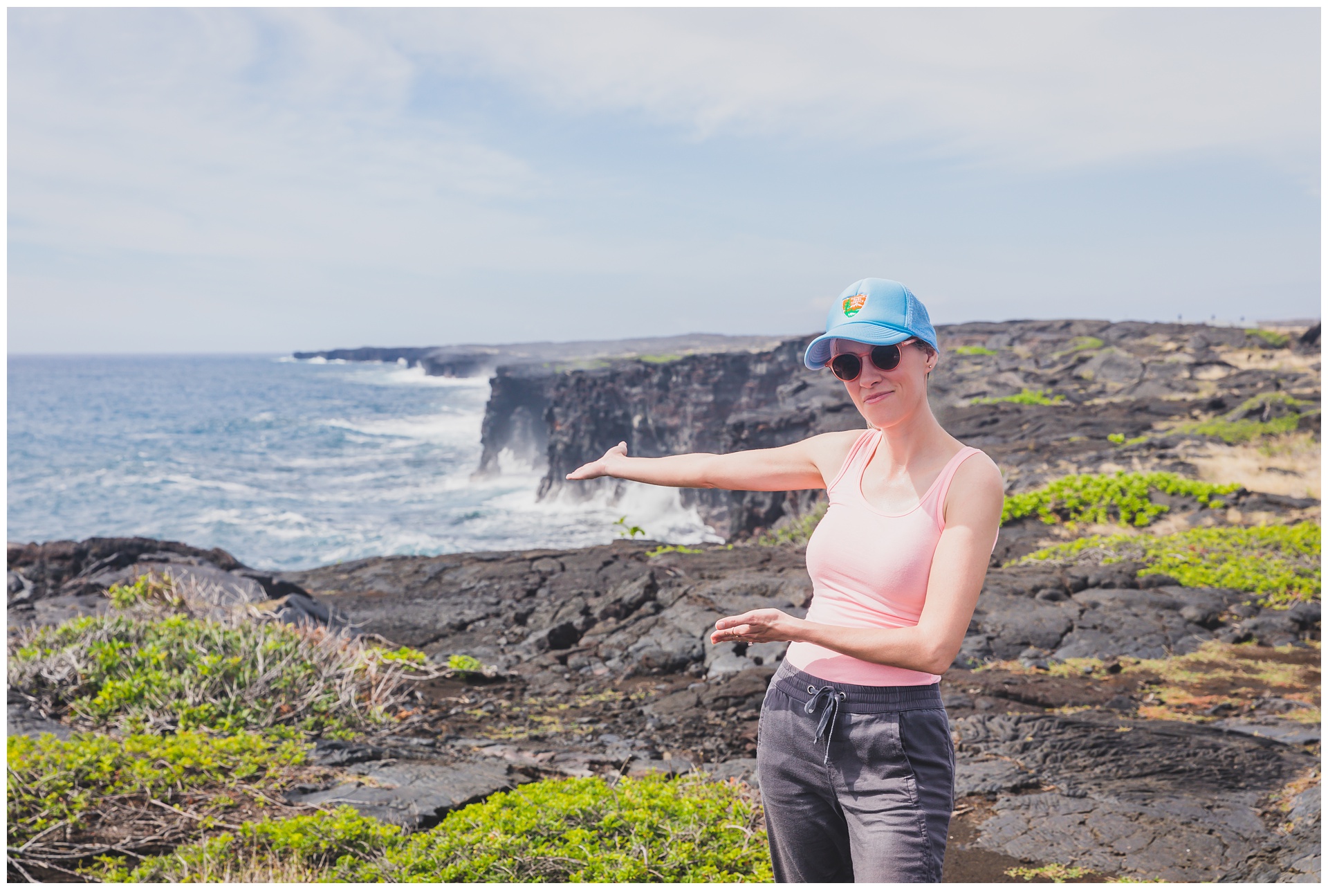
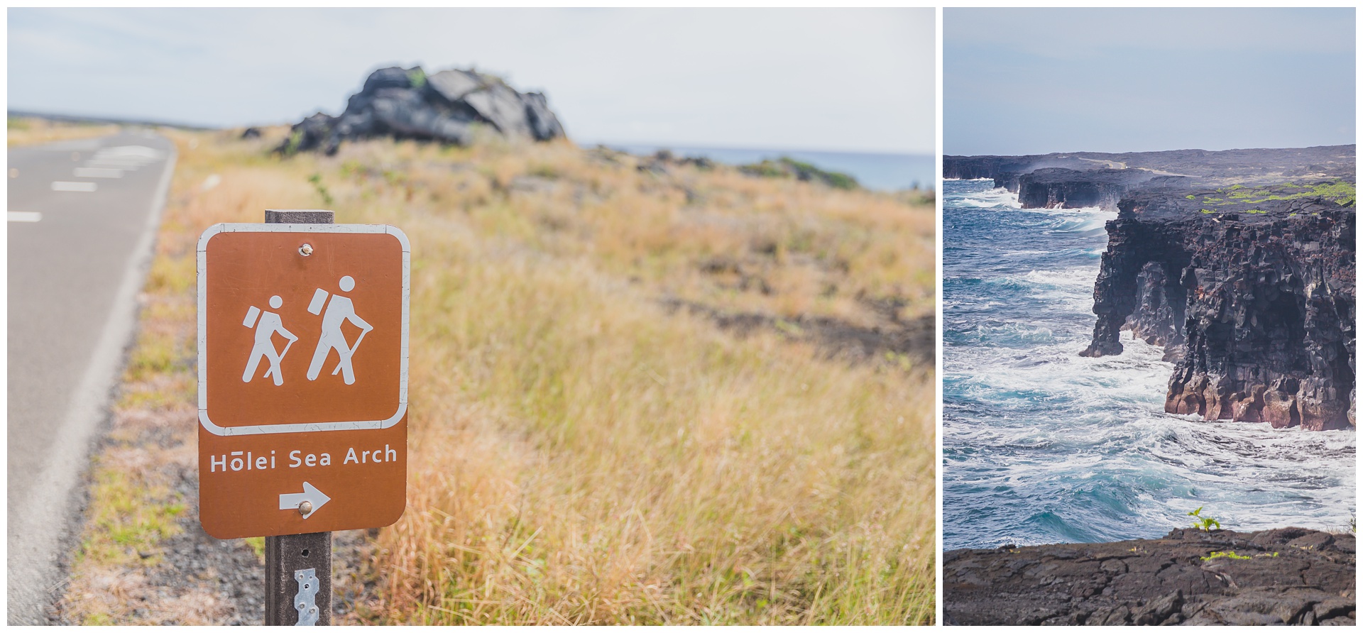 At the end of the road is Hōlei Sea Arch, a 90-foot-tall lava rock formation. This impressive arch was cut into the cliff about 500 years ago by the forces of wind and water, with the remaining structure still standing due to differential erosion. This phenomenon occurs due to different levels of hardness in different layers of lava, allowing some to remain intact longer. Eventually the entire arch will crumble into the sea – a thought that makes it seem especially special to see it now.
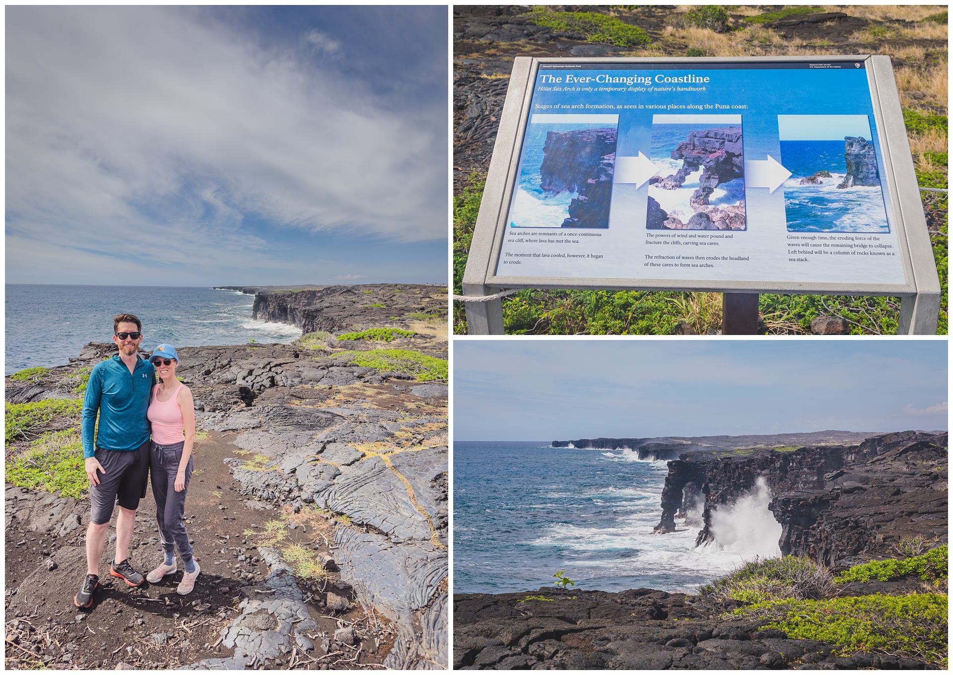
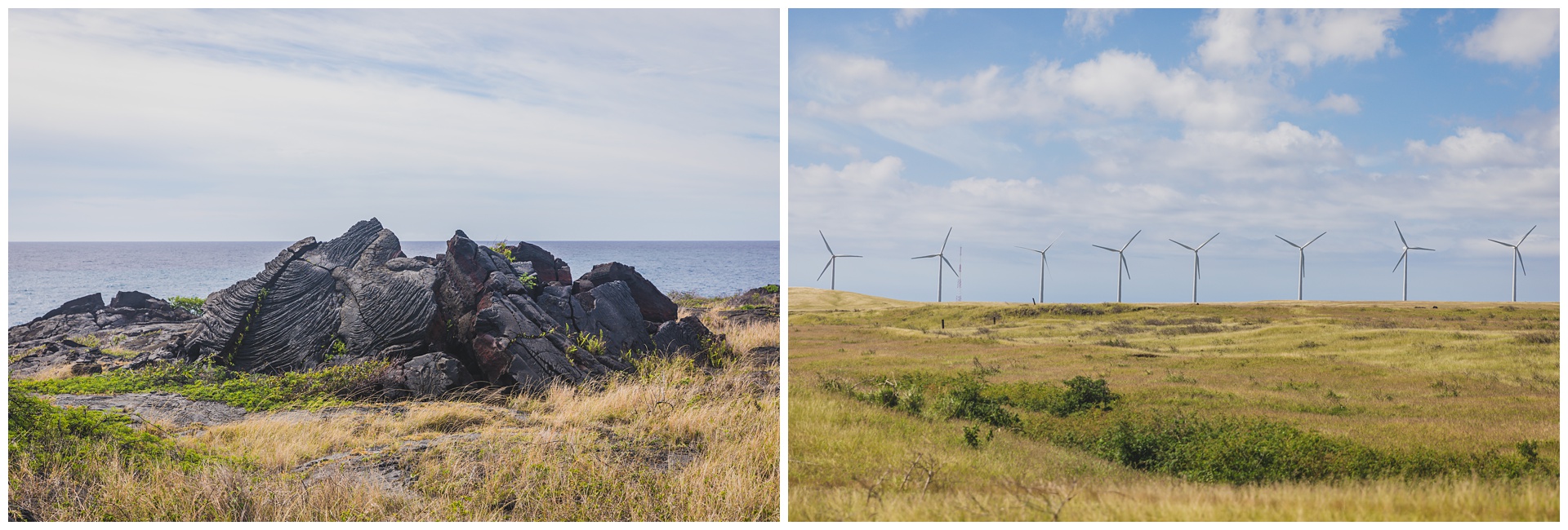
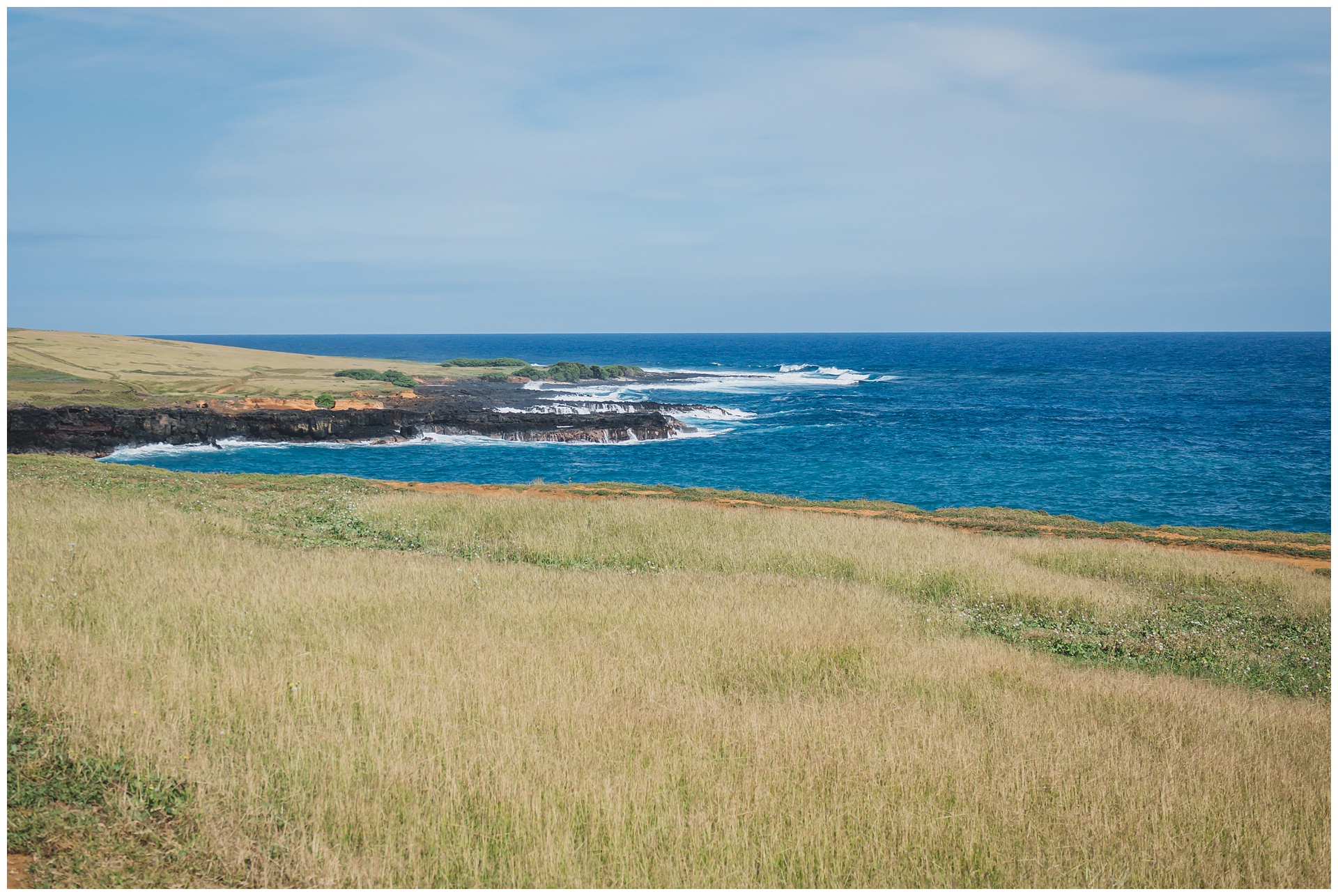
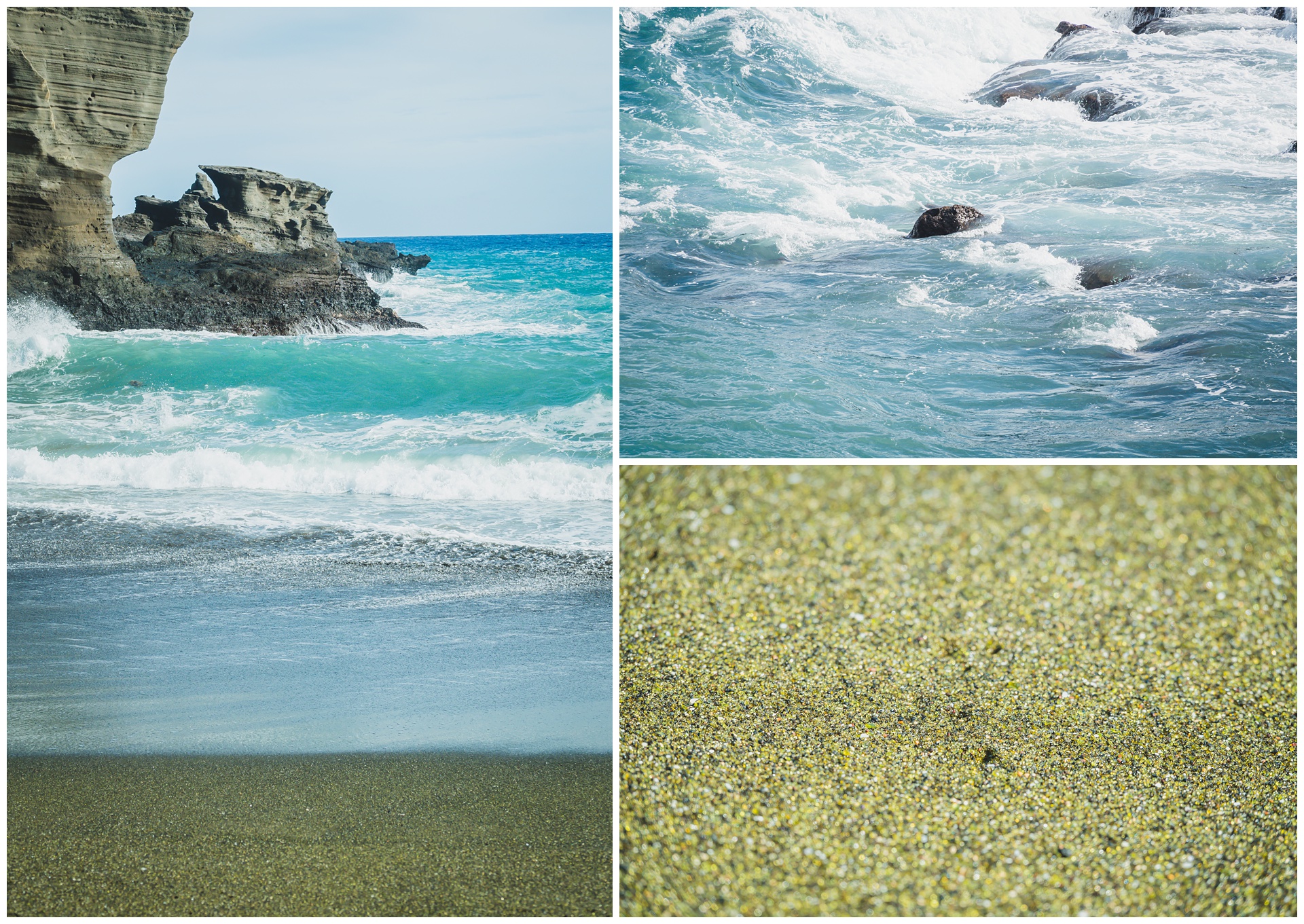
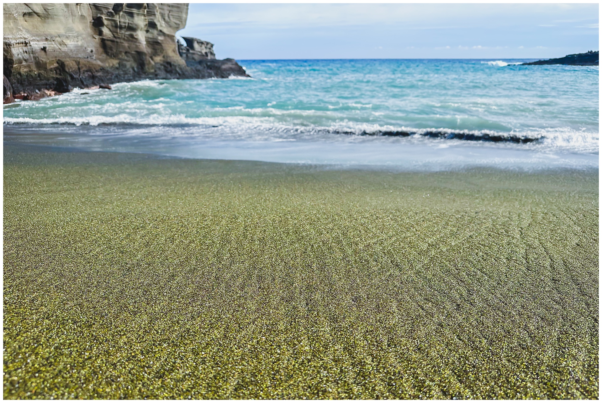
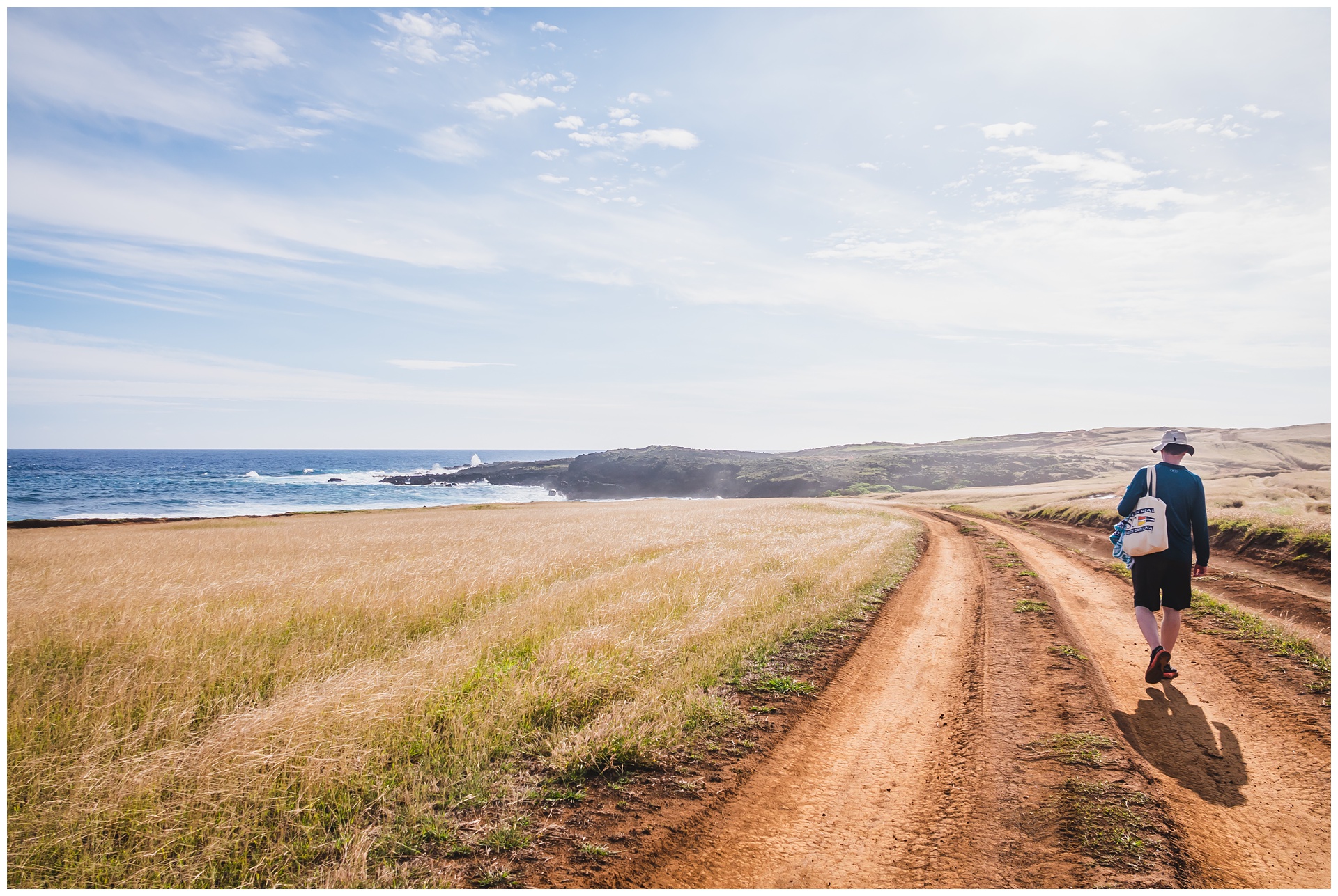
 Our next stop was at the southern end of the island, where we set off on a hike to Papakōlea, a green sand beach that is one of only four in the world (the others being in Guam, Ecuador and Norway). It’s a bit of a trek to get there – almost 6 miles roundtrip. But we didn’t mind a bit, being surrounded the entire way by turquoise water against black coastline and a grassy coastal plain that seemed strangely reminiscent of the Flint Hills.
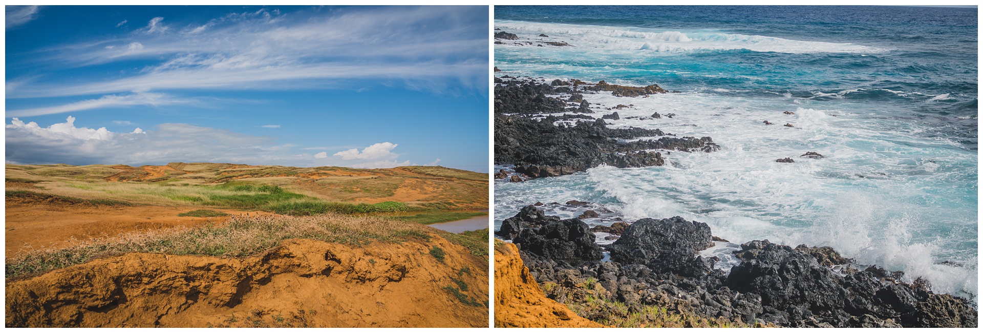

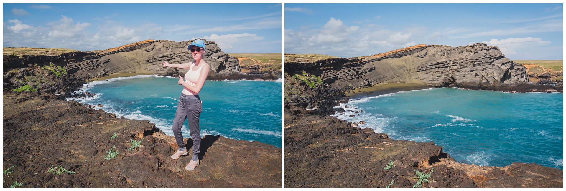 We’d seen green sand scattered along the trail and finally came upon its source! This beach was carved into a cinder cone created by the Mauna Loa volcano, and its grains of sand actually are green olivine crystals that washed out of the cone. The sand also contains black lava fragments and white shell fragments.
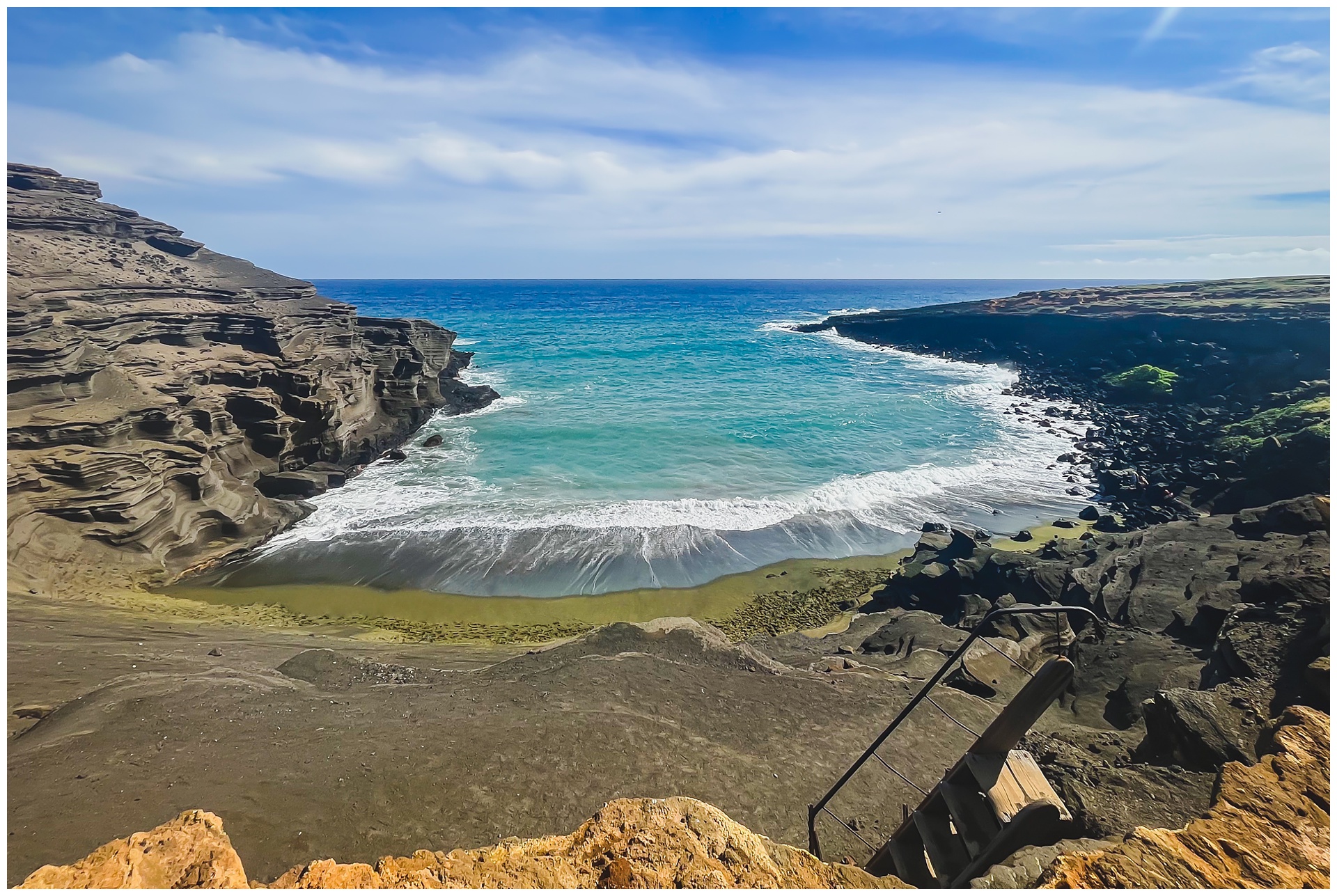
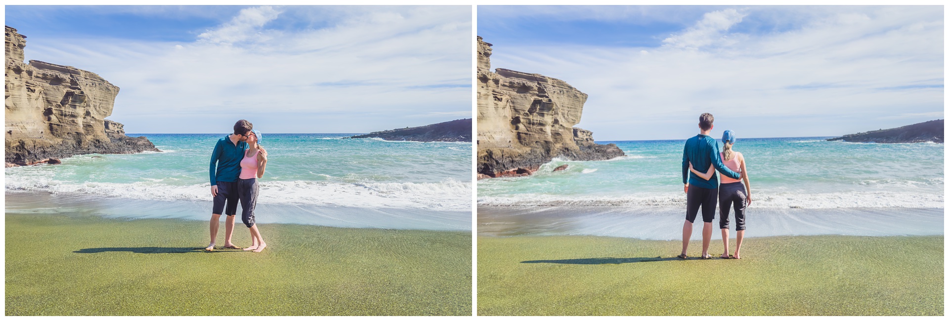
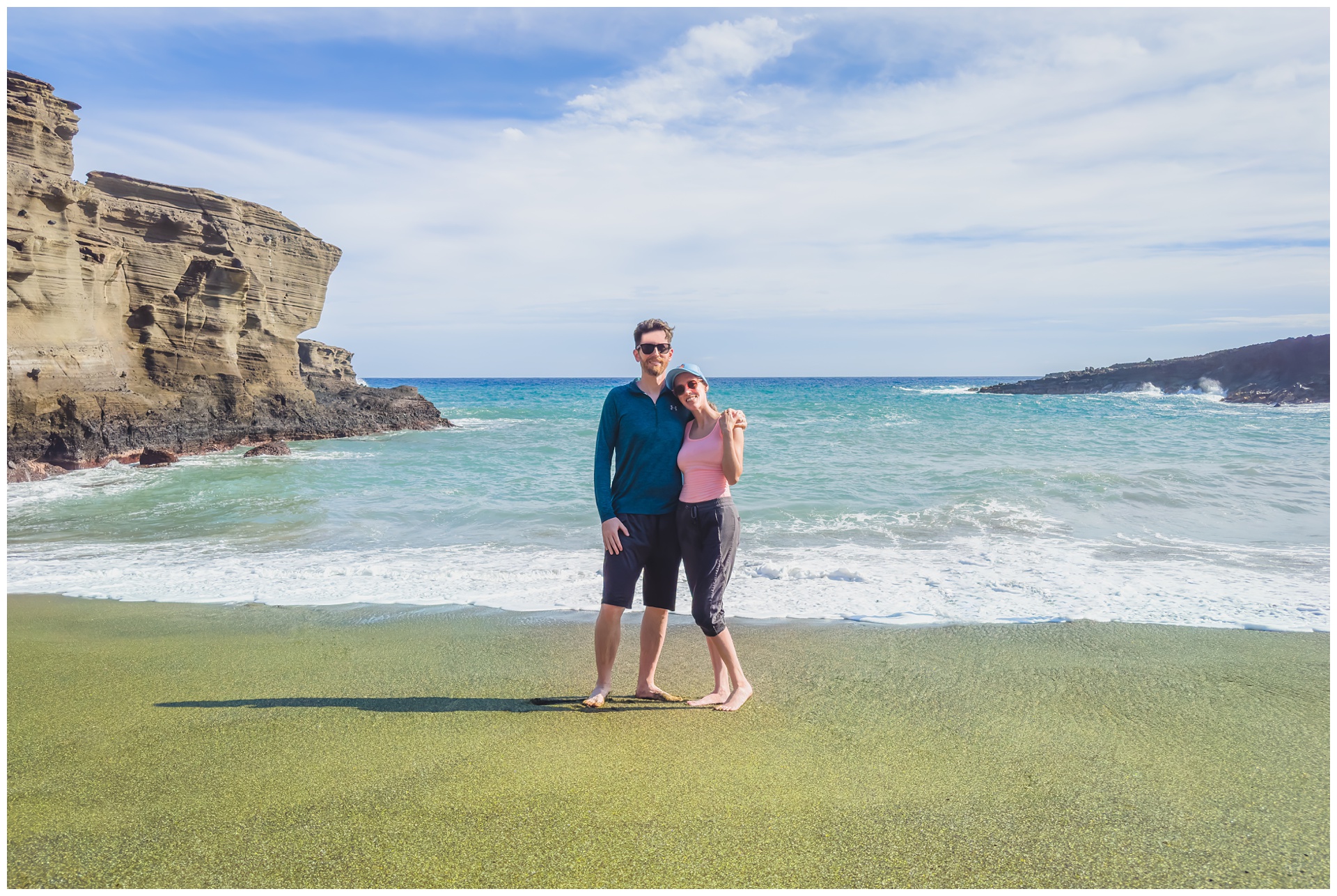 It’s the kind of place where you stand (or maybe even leap) in wonder that somewhere like this exists.

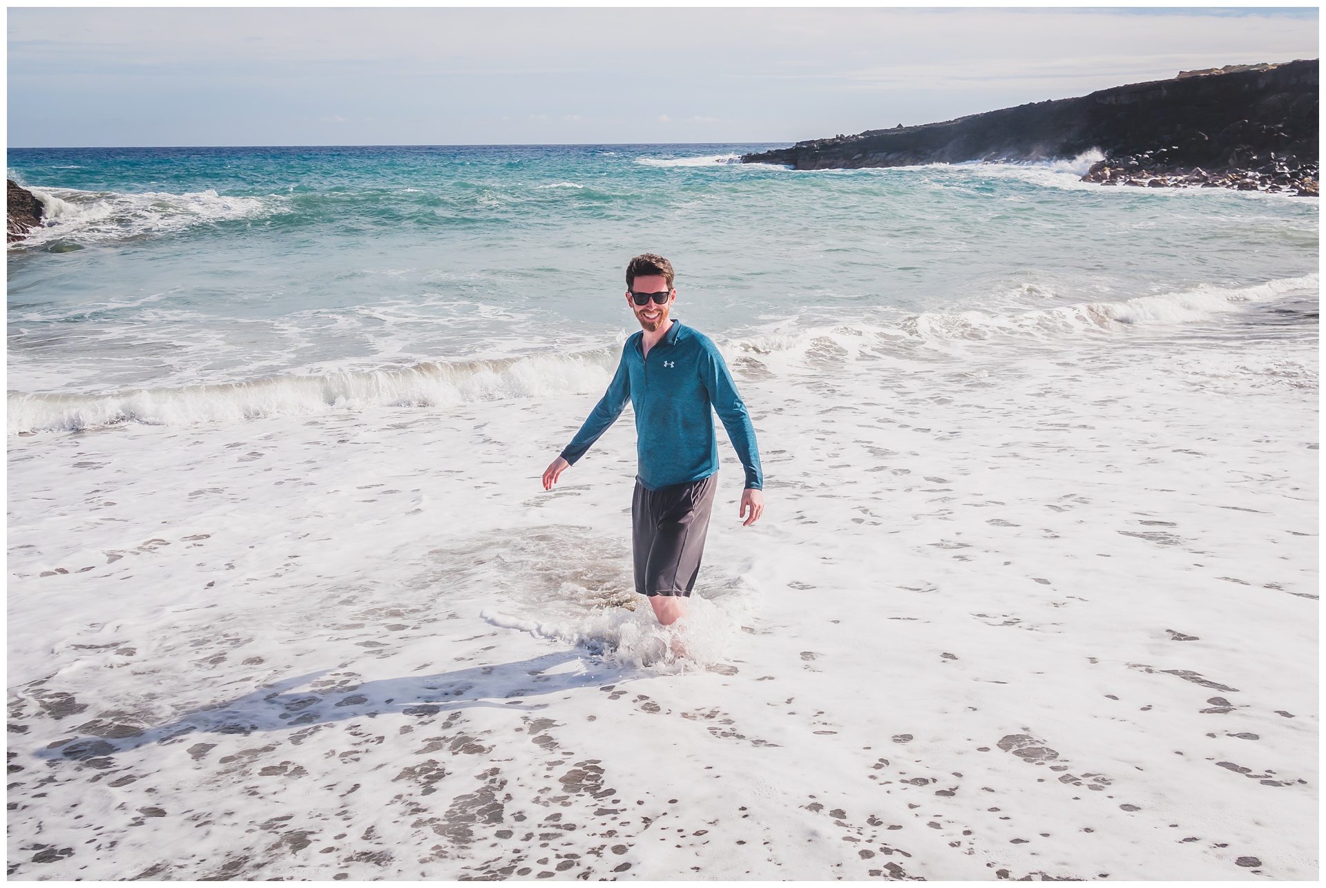
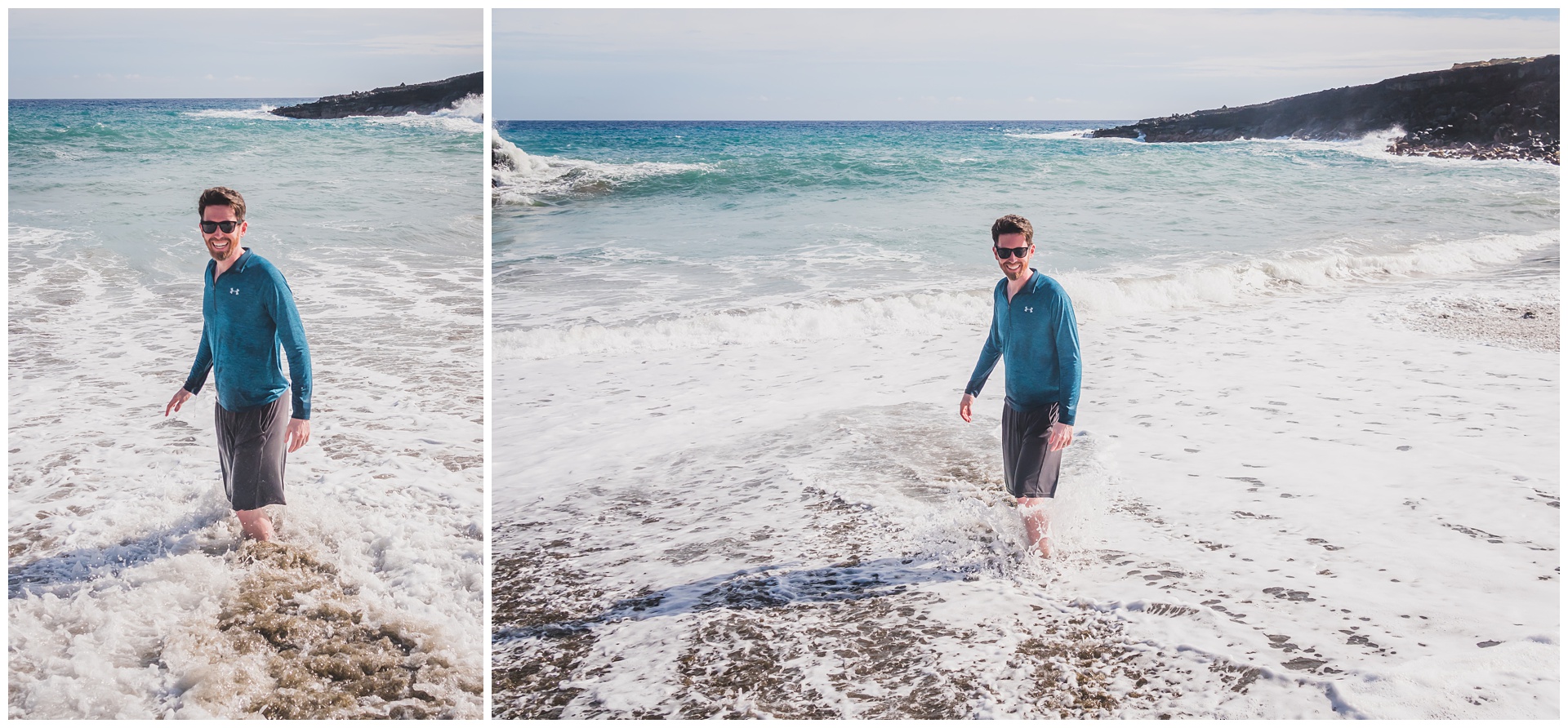

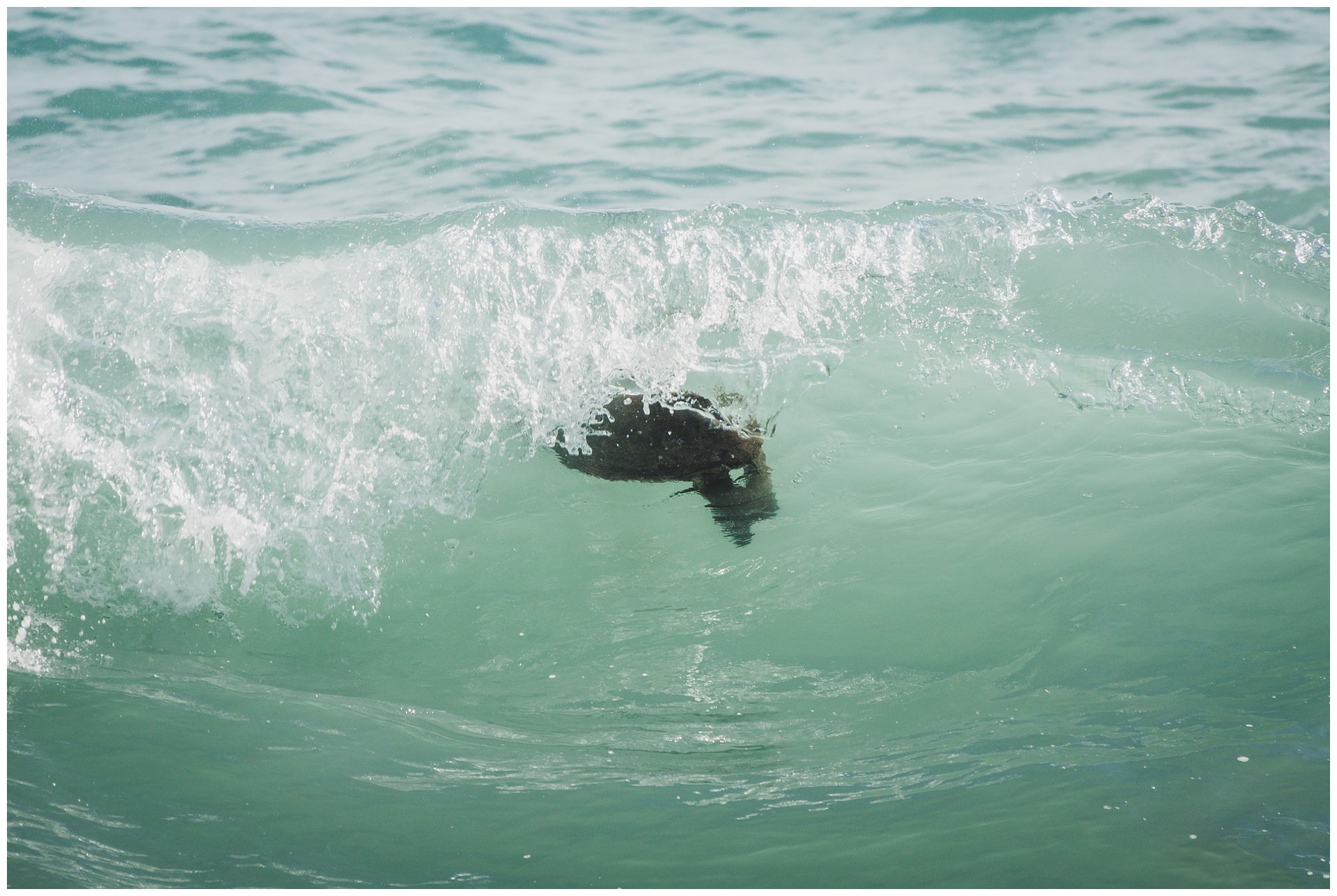 The green sand beach will also always hold special status with us for being the location of our one and only sea turtle sighting! Seth was able to get some good close-up shots of it – and I had a nice surprise when, weeks later, I found it had also made an appearance in one of my photos (at the left side of the left image below).
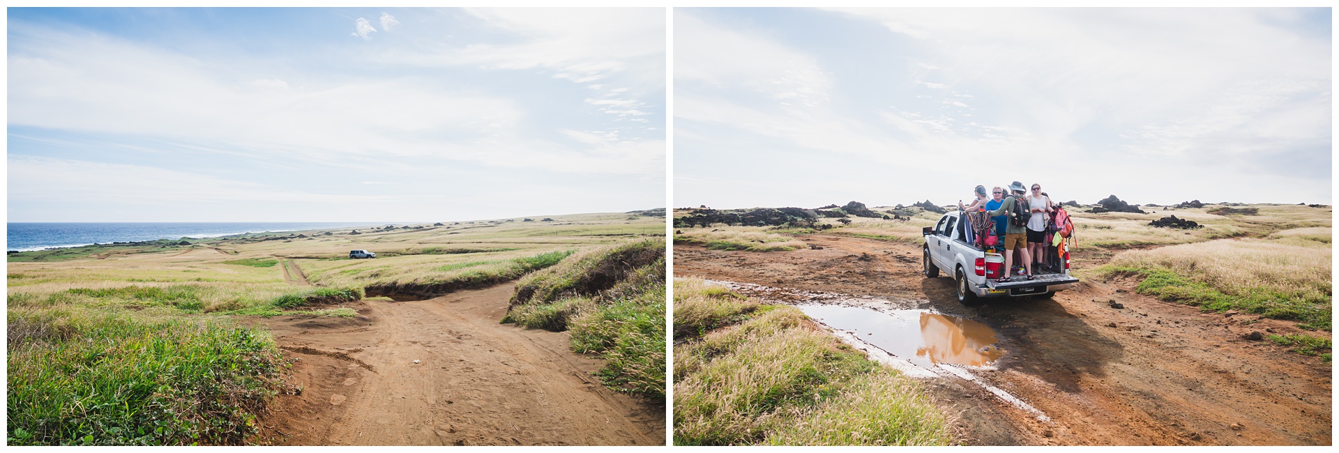
 We could have stayed in this (nearly) one-of-a-kind paradise the rest of the day, but we still had a lot to do and a long walk back to our vehicle! Unsurprisingly, a number of people with trucks and jeeps have seen the market for transporting tourists to and from this beach – but we read they’re operating illegally and not always very safely, so we stuck to traveling on foot.
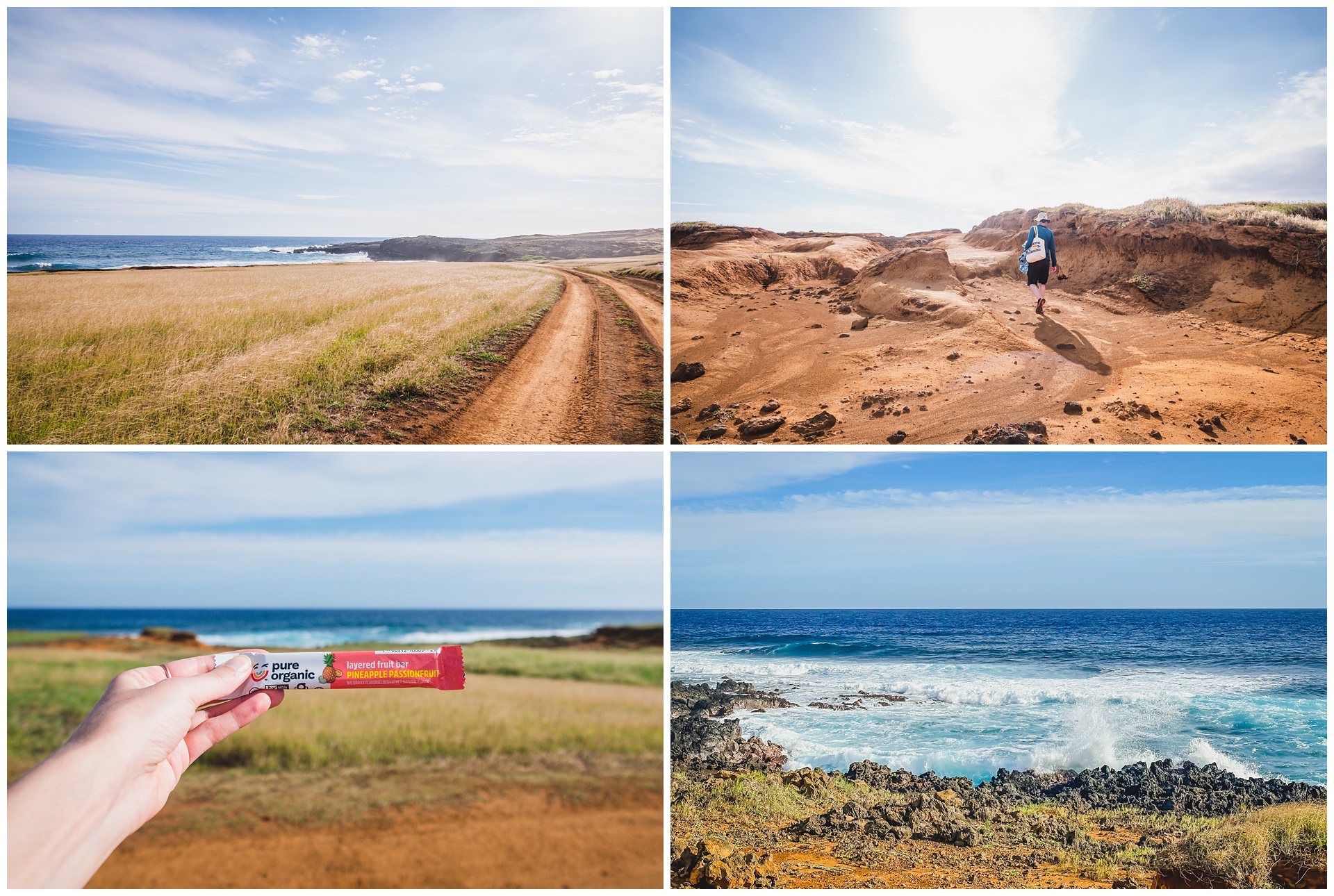 I’m unfortunately not sponsored by Pure Organic, but after one of their layered fruit bars gave me the little kick of energy I needed to finish our Pikes Peak hike last fall, we like to joke that they’re the key to accomplishing any physical feat. Thus the photo (at above left) of the bar that sustained me on this particular endeavor.
 Not far from the trailhead for the green sand beach is Ka Lae (South Point), a National Historic Landmark and the southernmost point of Hawaii – which of course is also the southernmost point of the United States! That in itself makes it worth a visit, but as an added bonus it’s just an incredible showcase of raw, powerful nature. With its sweeping winds, strong currents and beach covered in coral, it felt like something out of fantasy fiction.
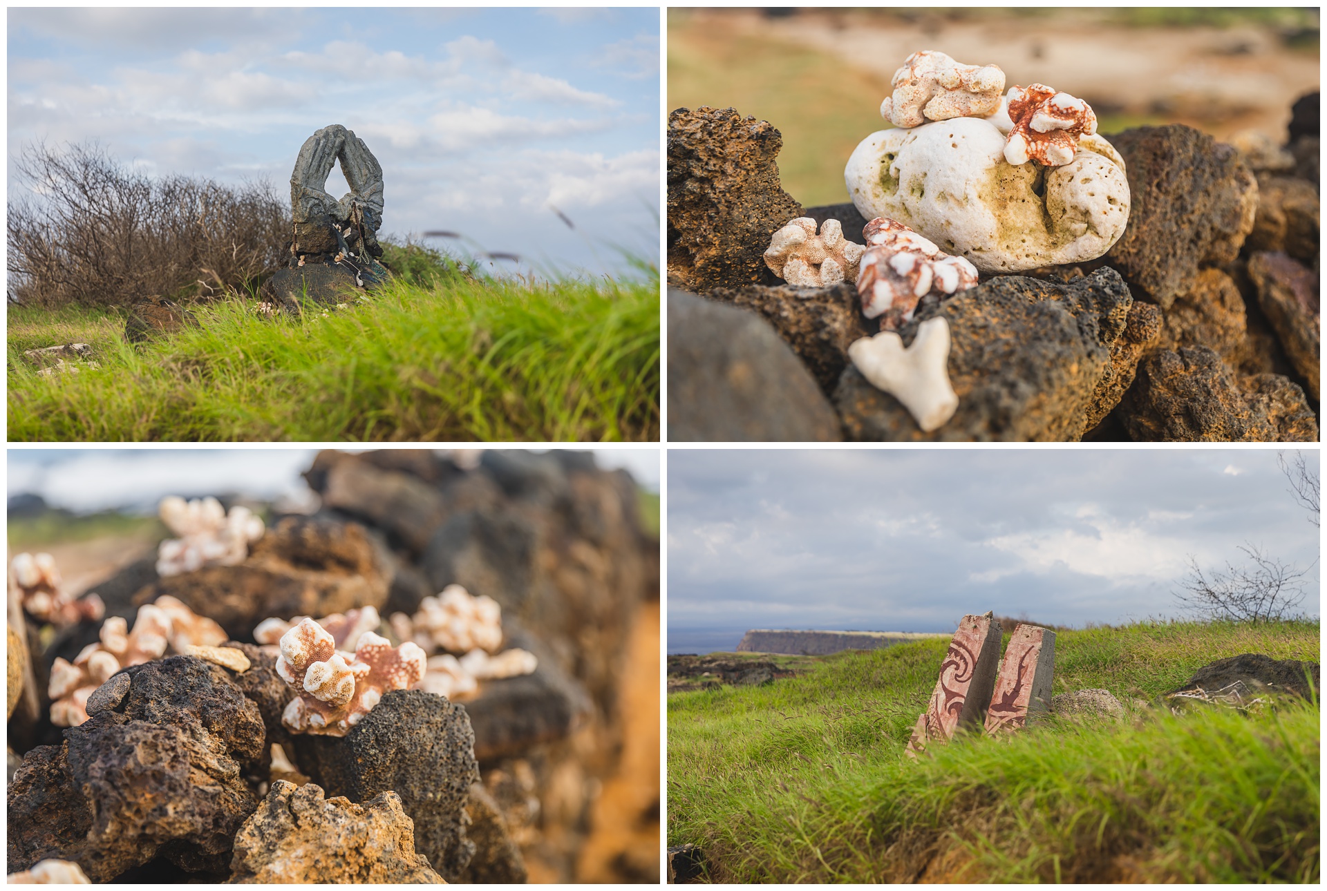
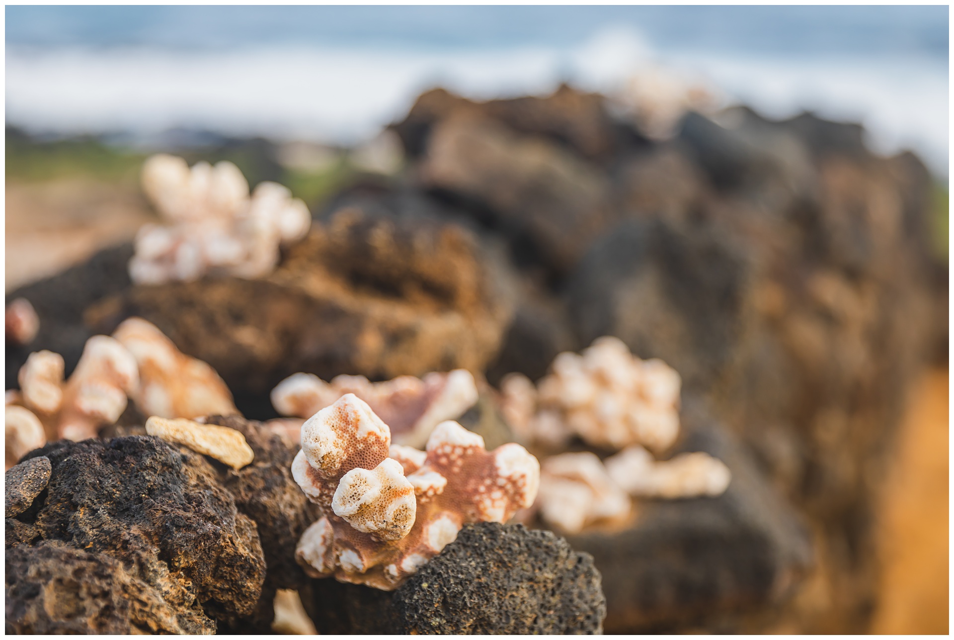
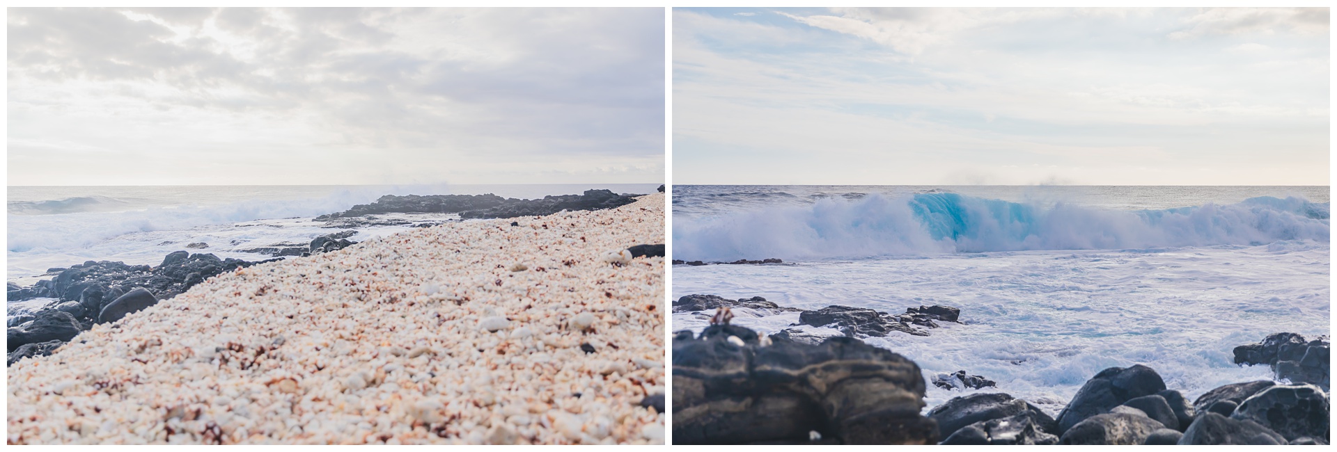

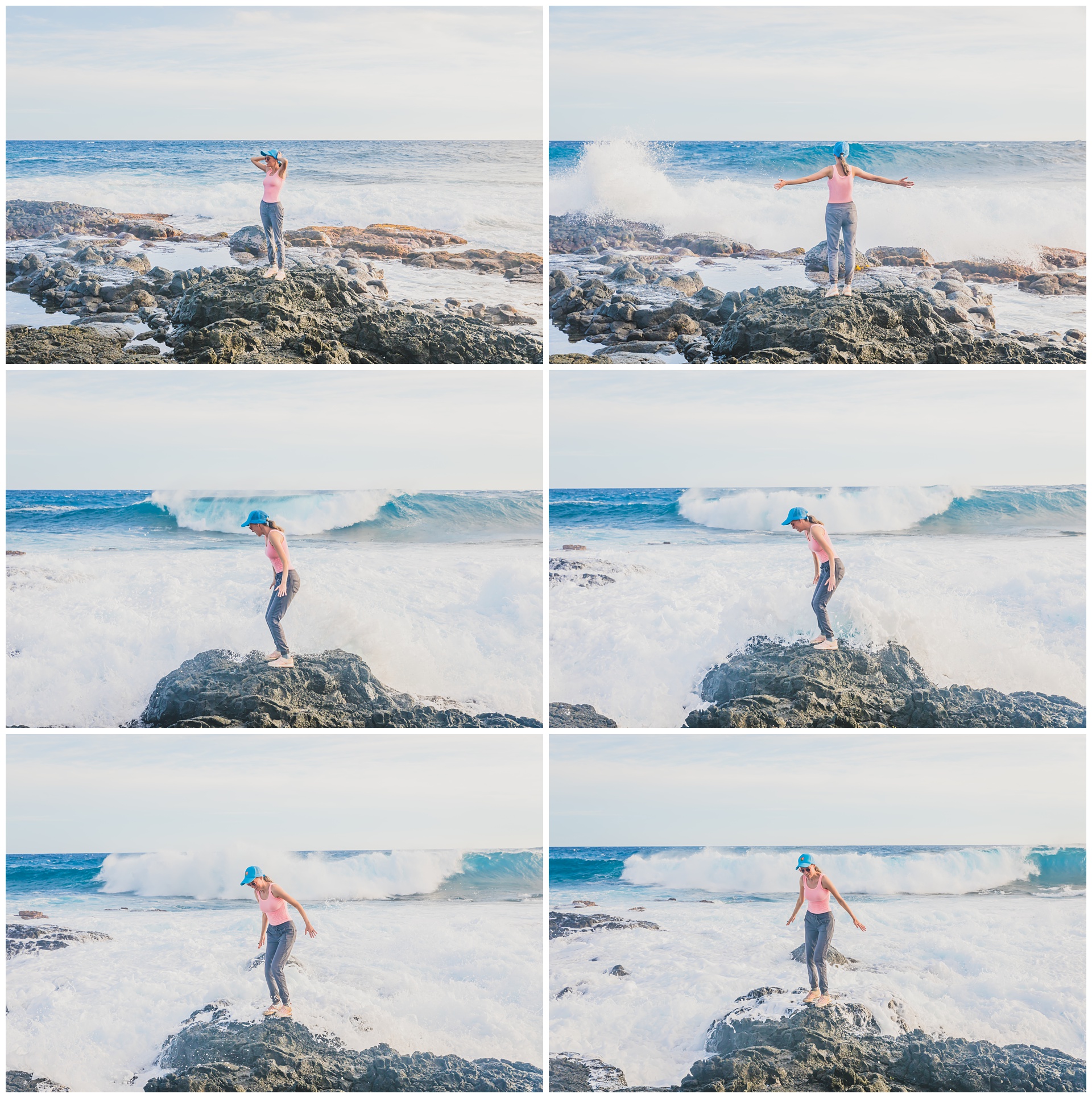 In the collage above: Cut from me enjoying the majesty of the waves to my life flashing before my eyes as a gigantic one barreled toward me. Fortunately, it dissipated right at me feet – but very shortly after I retreated, that rock I stood on was entirely underwater.

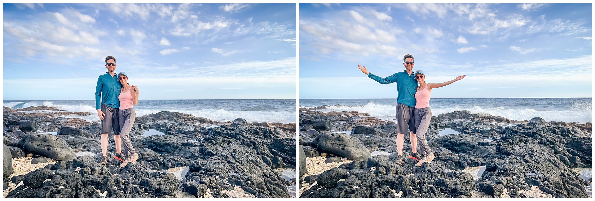 Once again, we could have stayed forever – but we still had an hour-and-a-half drive to Kona, where another big activity awaited.
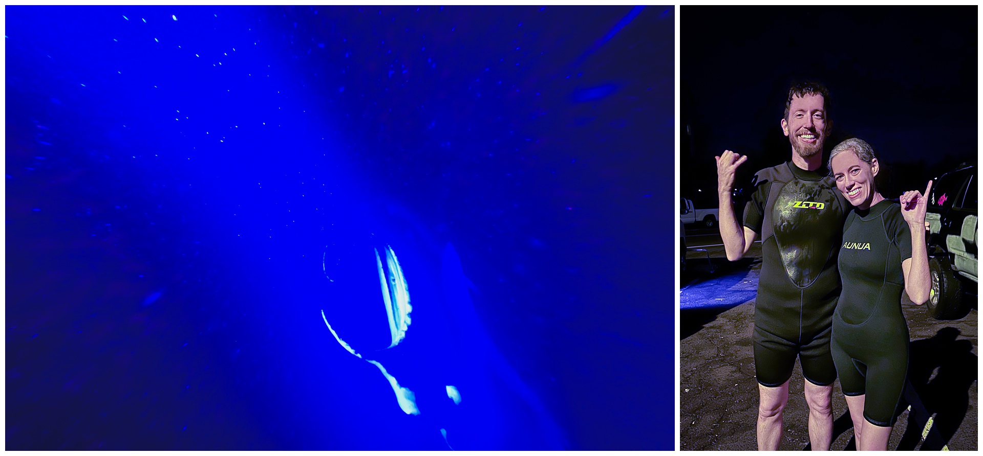
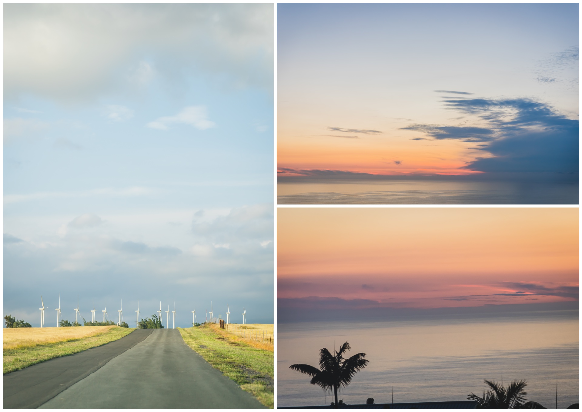 The sun set beautifully during our drive, and after night fell, it was time for our manta ray snorkel! Kona is the only place in the United States and one of few places in the world where it’s possible to swim with these gentle giants. And after all the amazing sights and sun we’d soaked in, jumping into a dark ocean felt like an exclamation point on an adventurous day.
We also lucked out with what our tour guide said were the best conditions he’d seen in a while, complete with calm waters and lots of mantas. They come to feed on plankton that are drawn to lights shining down from a surfboard – and we were given strict instructions not to touch them, although it turned out to be impossible to avoid them brushing up against us! We’d really never experienced anything like it: These marine creatures up to 12 feet wide and 1,200 pounds gracefully circling so close.

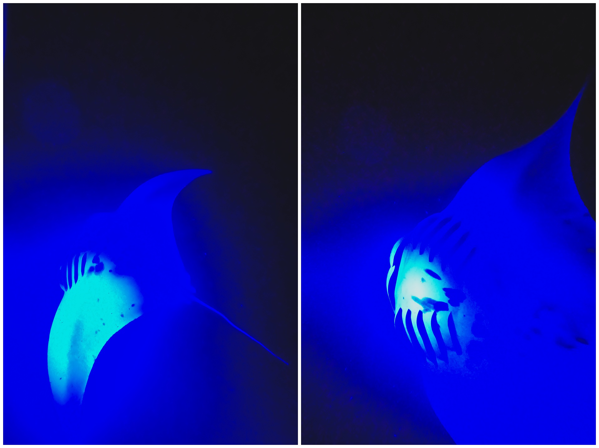
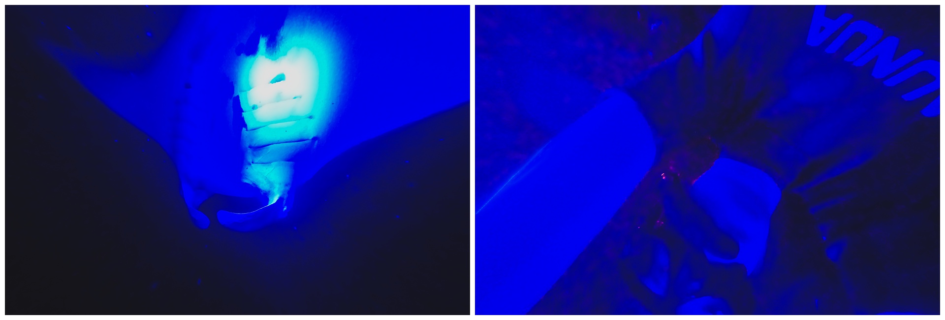 I don’t know if we’ll ever again have a day that ends with us in wetsuits in the dark and with so many once-in-a-lifetime experiences tallied in a span of 12 hours. But I hope this one will always stick with us!
day 10 • 02.02.23 • big island
from sea level to Hawaii’s highest summit
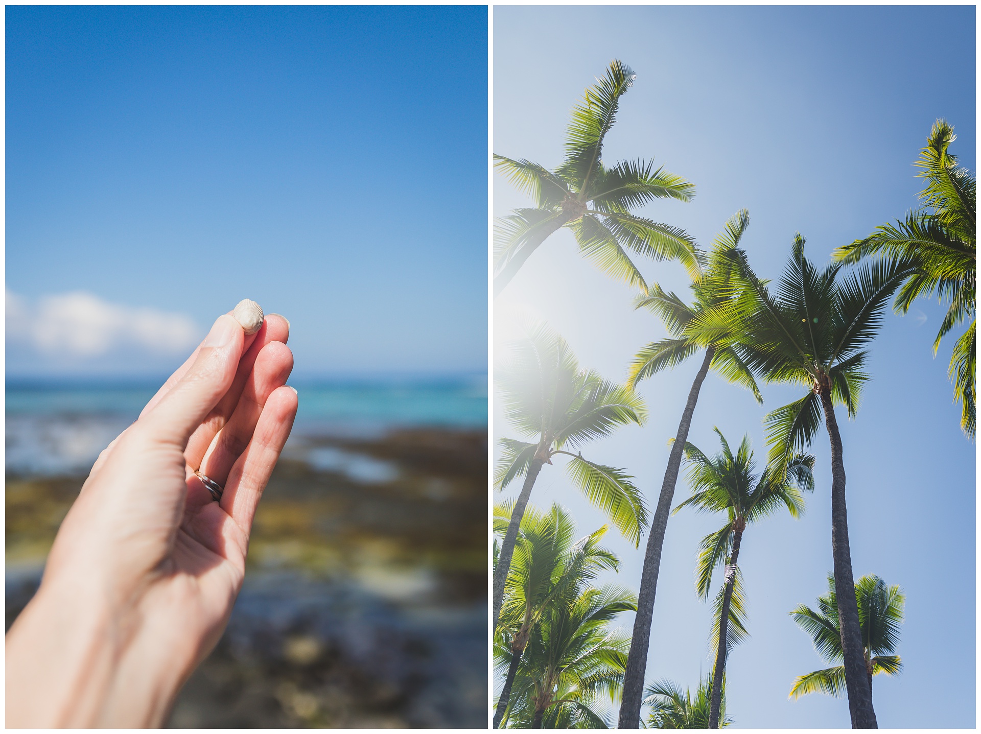
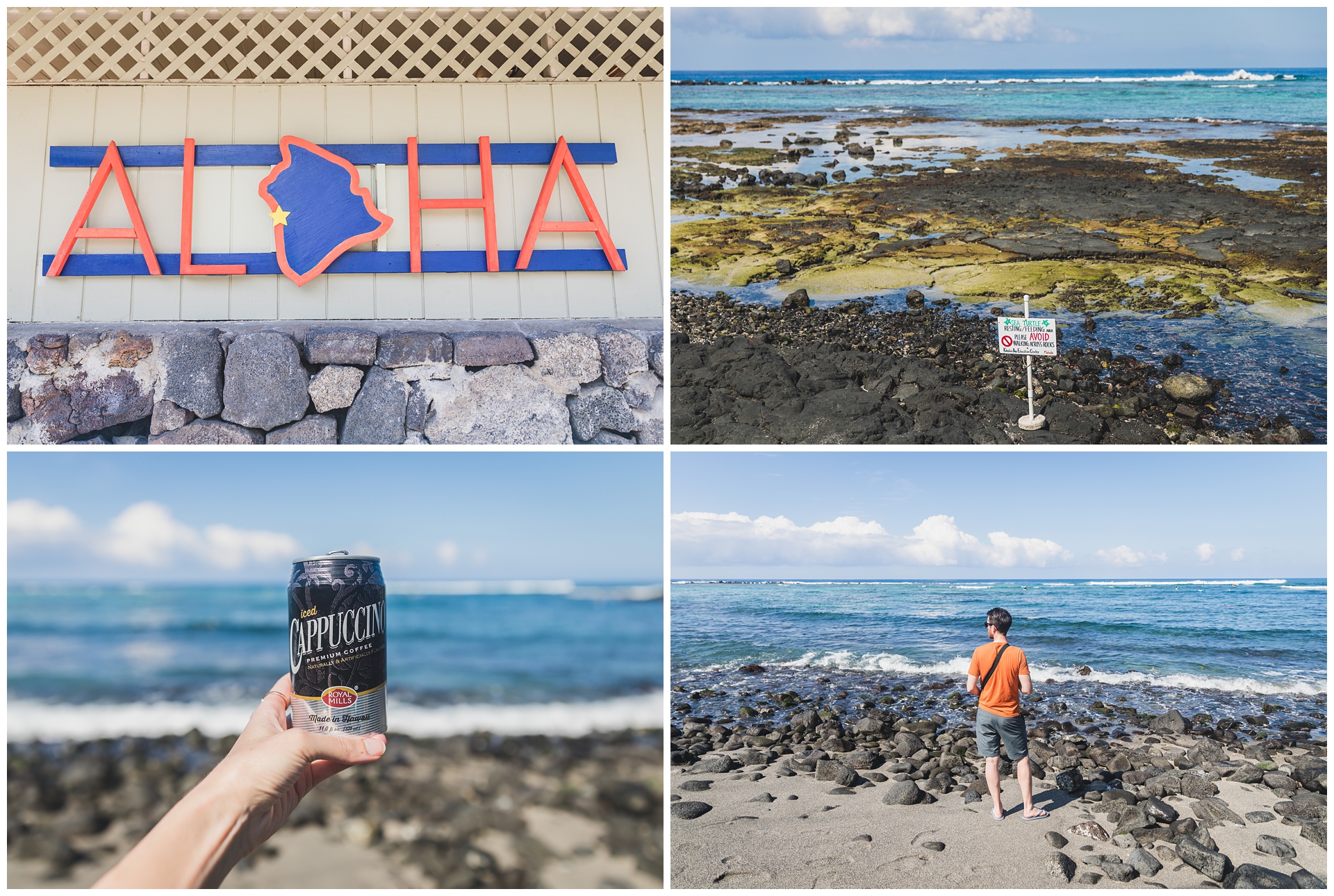 Another trip halfway around the island was on the itinerary for this day, but before leaving Kona, we stopped at a beach known for sea turtles. Although we didn’t see any, it was still wonderful soaking in some more sun, sea and sand before heading to a decidedly cooler destination.
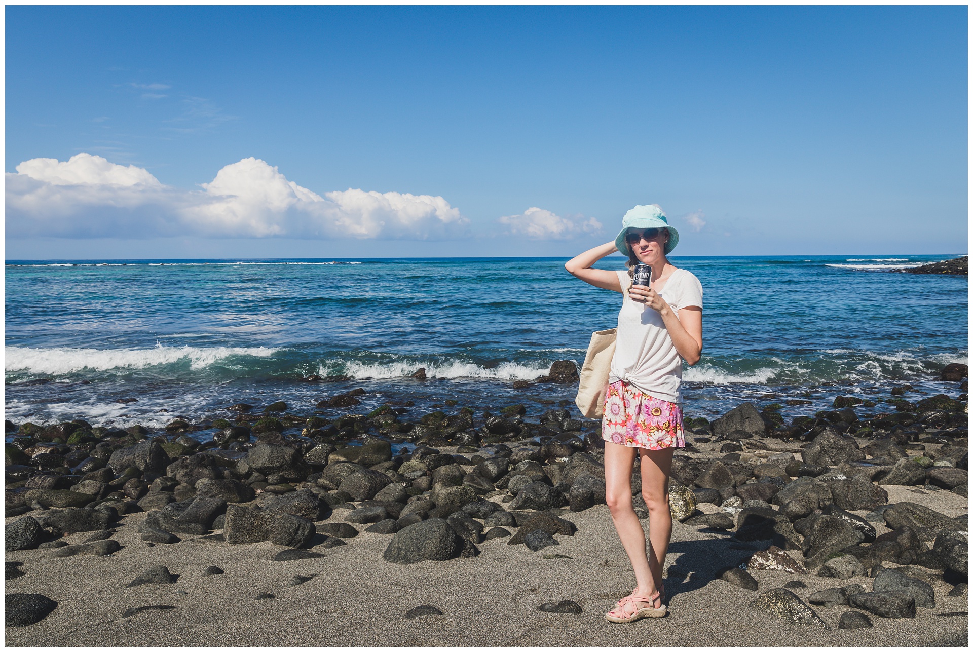
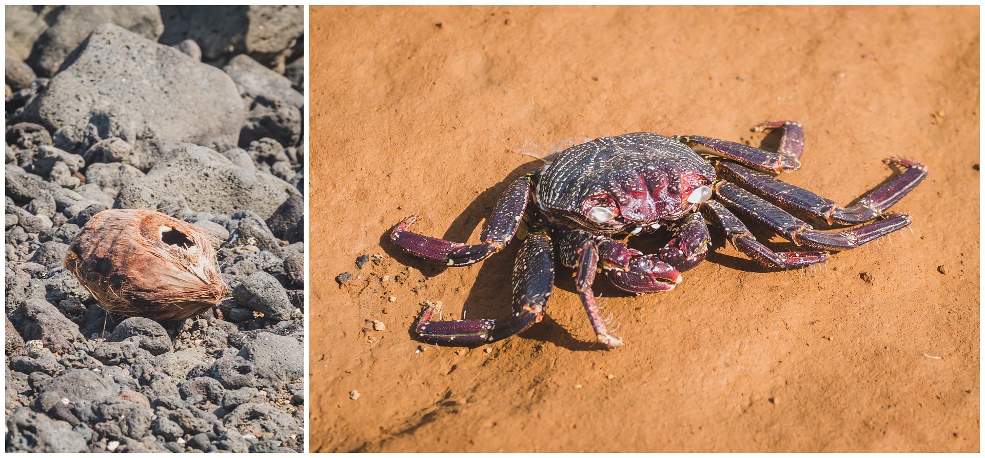
 While sea turtles weren’t on the scene, we had no shortage of crabs – and it was fun to watch them scuttle around in the surf.
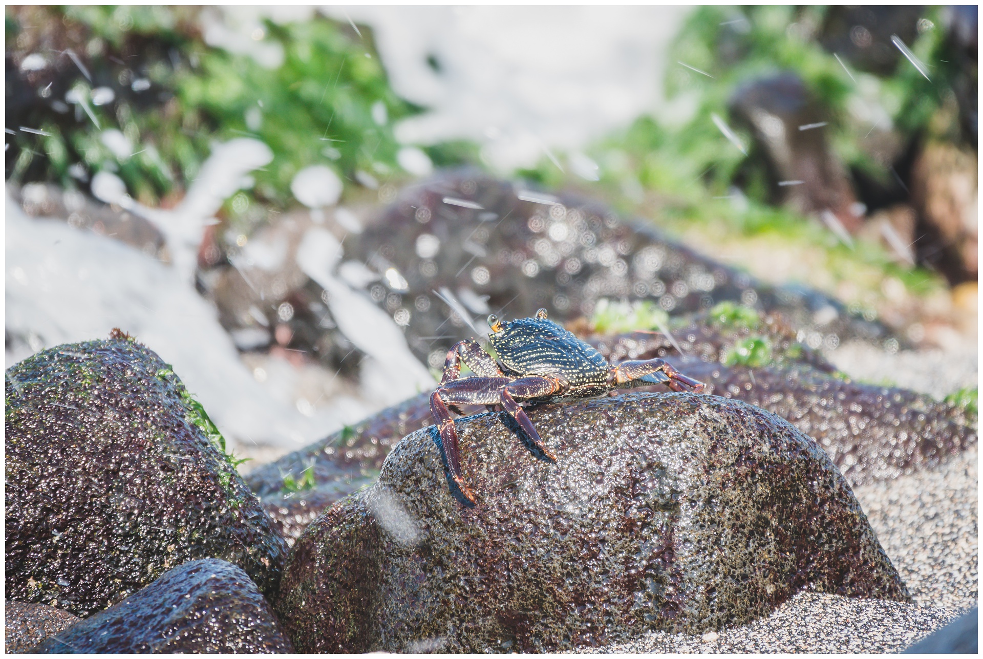
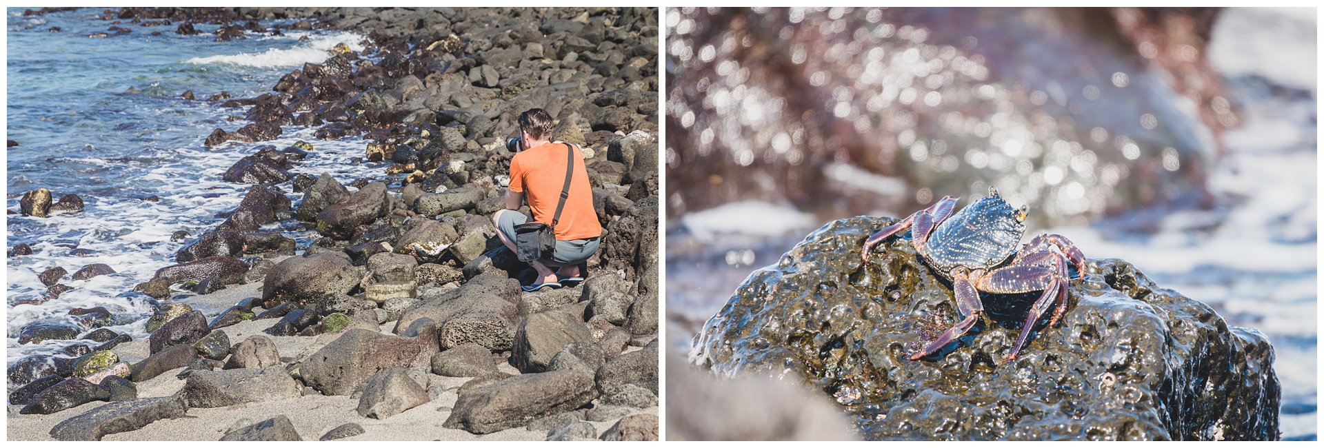
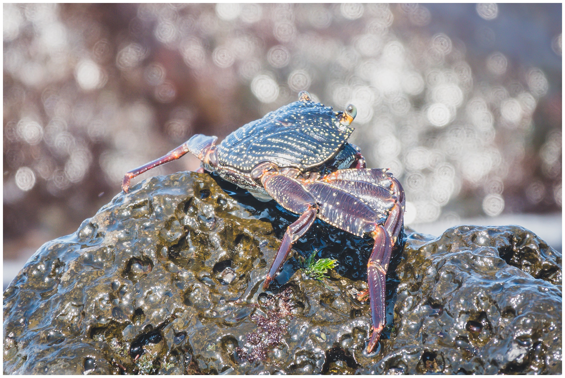
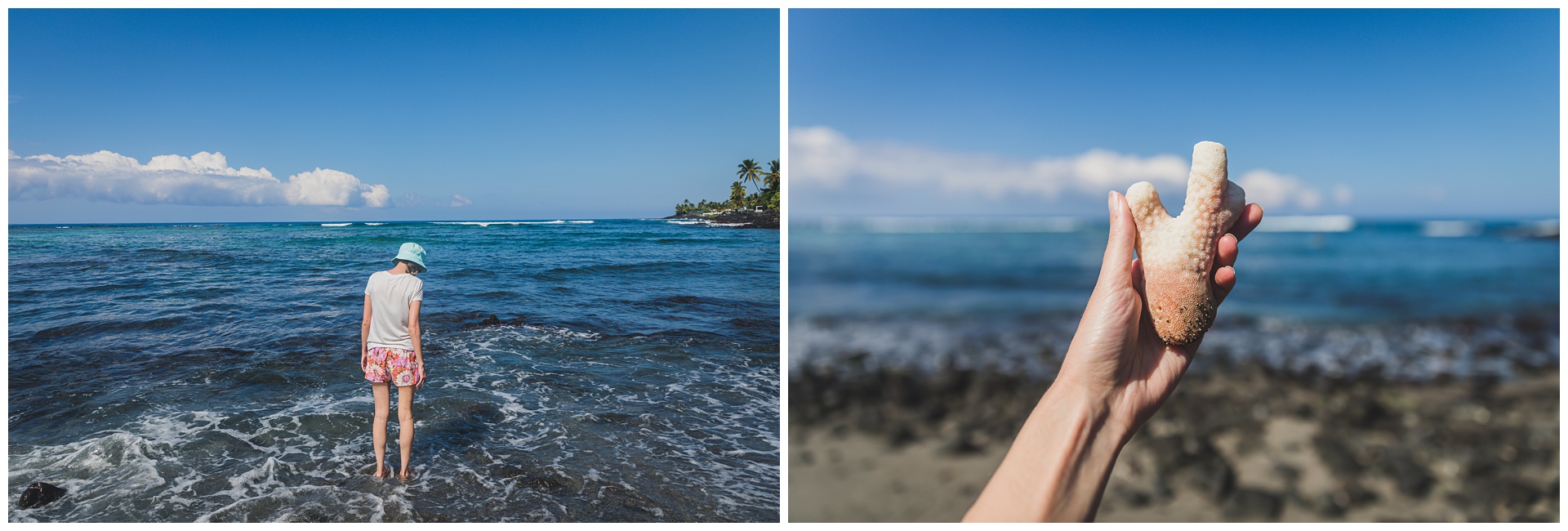
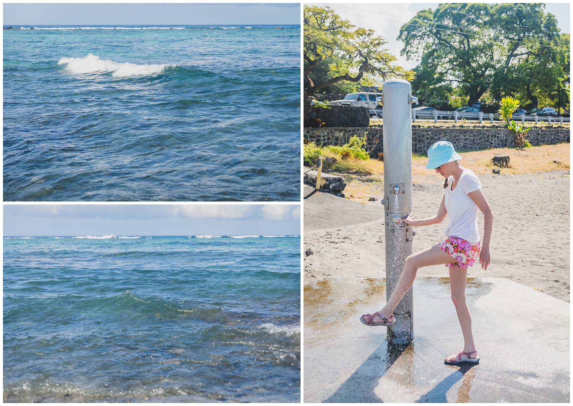 After spraying off the salt water, we left sea level for a summit almost 14,000 feet above it. The dormant volcano Mauna Kea is the highest point in Hawaii and, when measuring from its base on the ocean floor, the tallest mountain in the entire world! It was quite a journey gaining all that elevation, with the temperature starting in the mid-80s and dropping, dropping, dropping along the way. The Big Island is home to 11 of the world’s 13 climates, and it’s safe to say we experienced a number of those on this day alone!
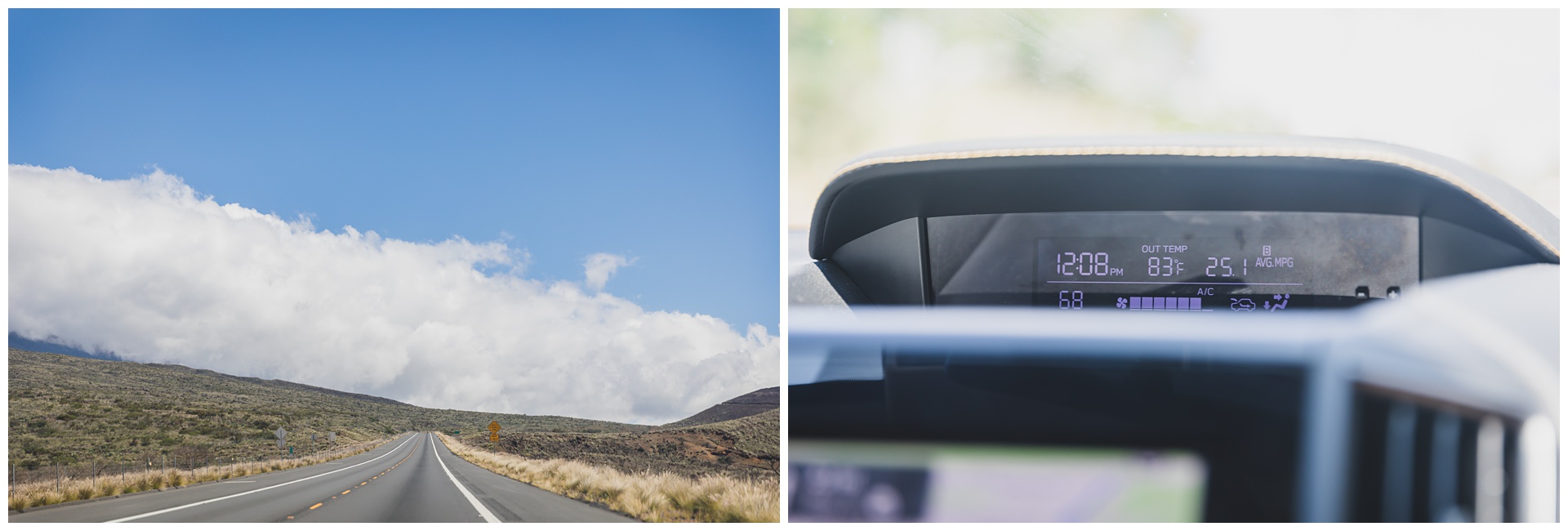
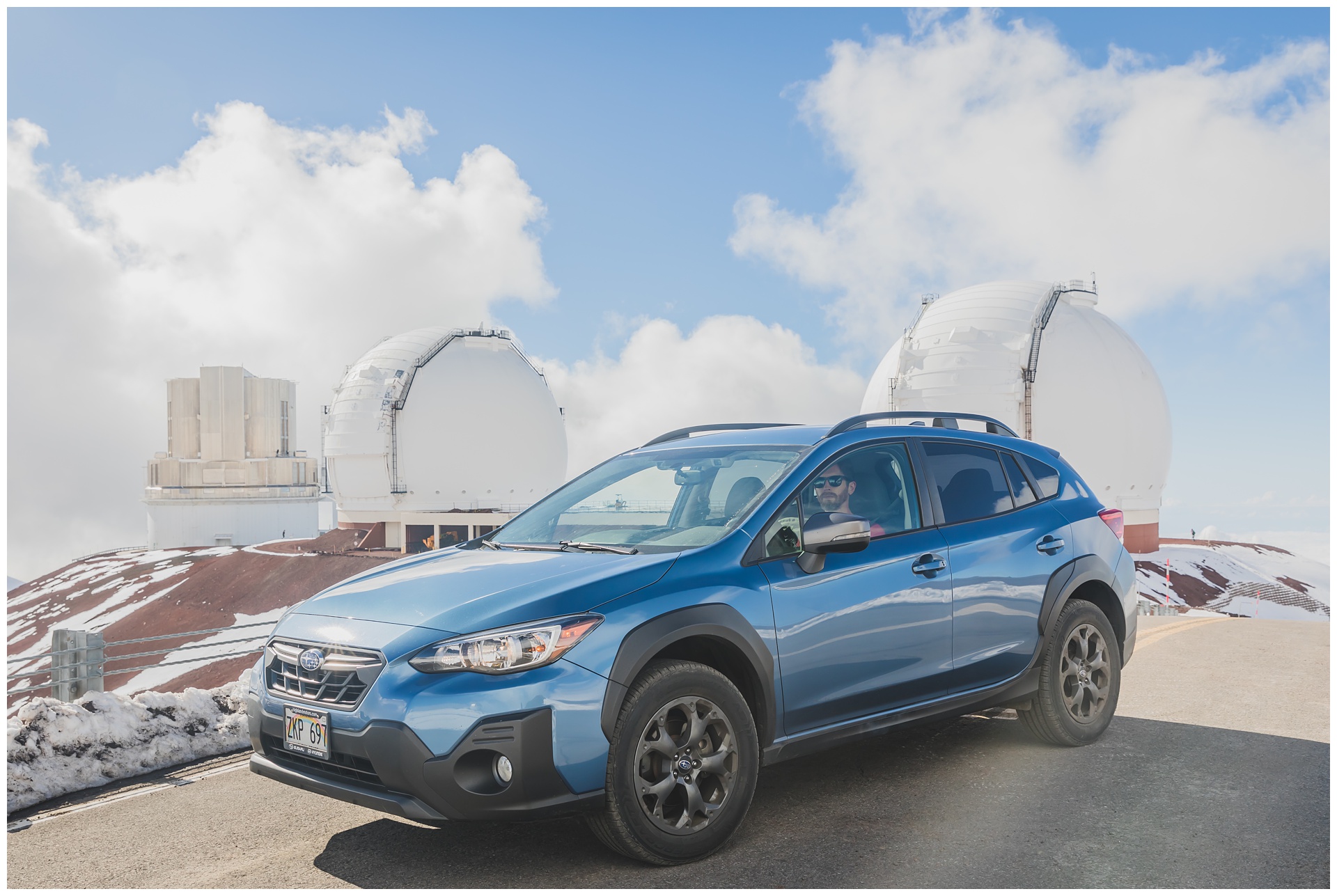
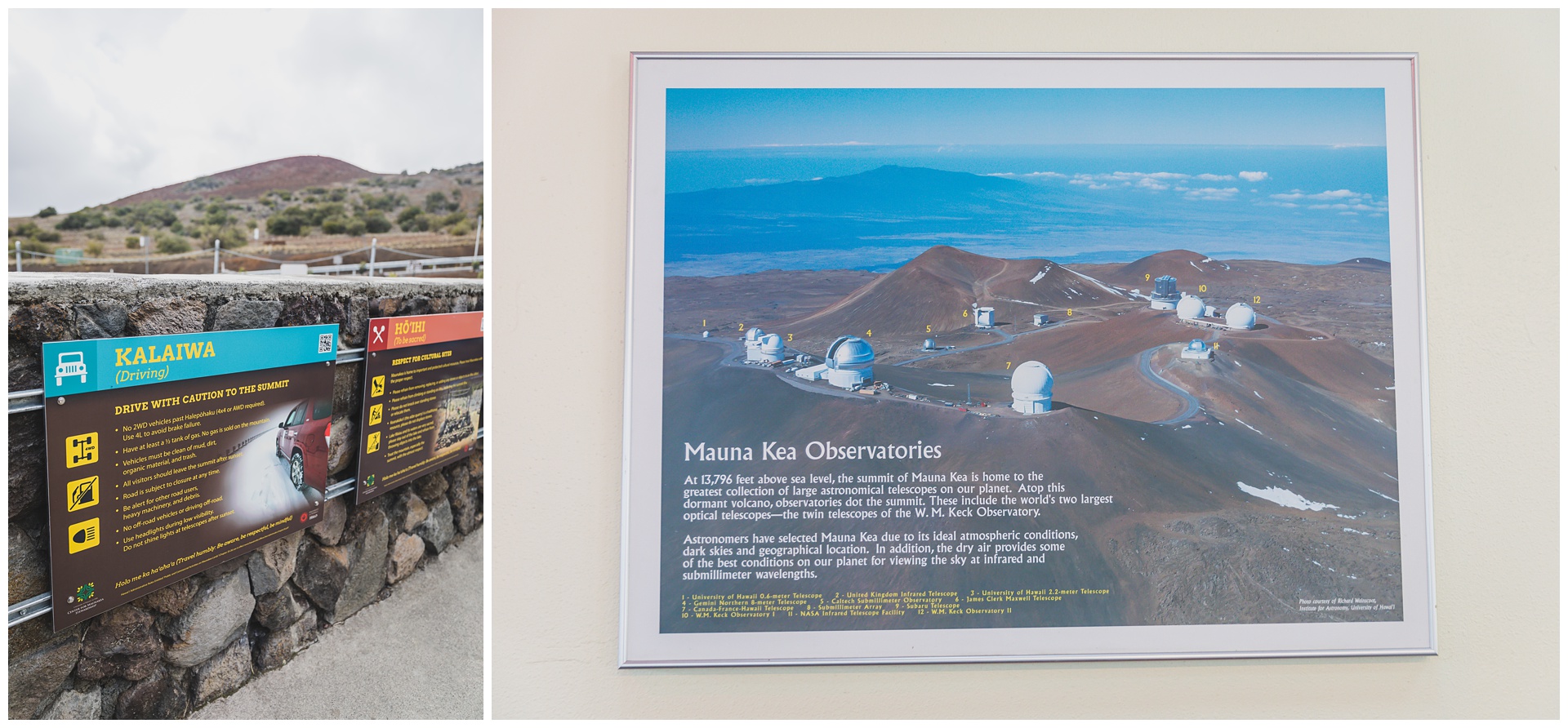 Mauna Kea is one of the clearest places in the world for viewing the night sky, with research teams from 11 different countries operating 13 telescopes on its summit. The visitor center at 9,200 feet was a good place to learn a little about this as well as to acclimate to the elevation and put on warmer clothes before driving the rest of the way to the summit! The SUV we’d rented on the Big Island was actually specifically for this endeavor; since rental companies generally don’t allow making this trip in their cars, we used a service called Turo that connects you with individual owners who rent out their vehicles.

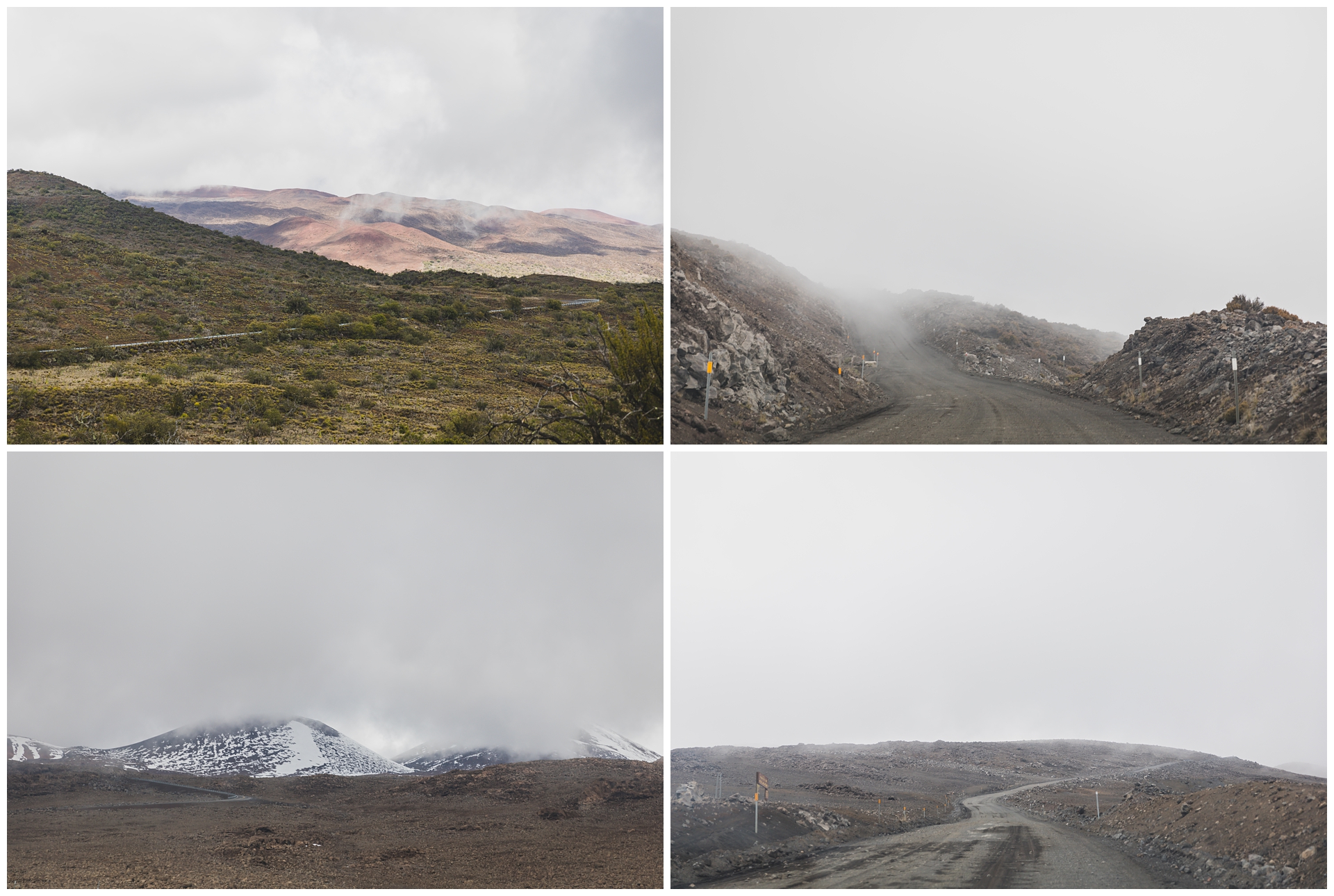
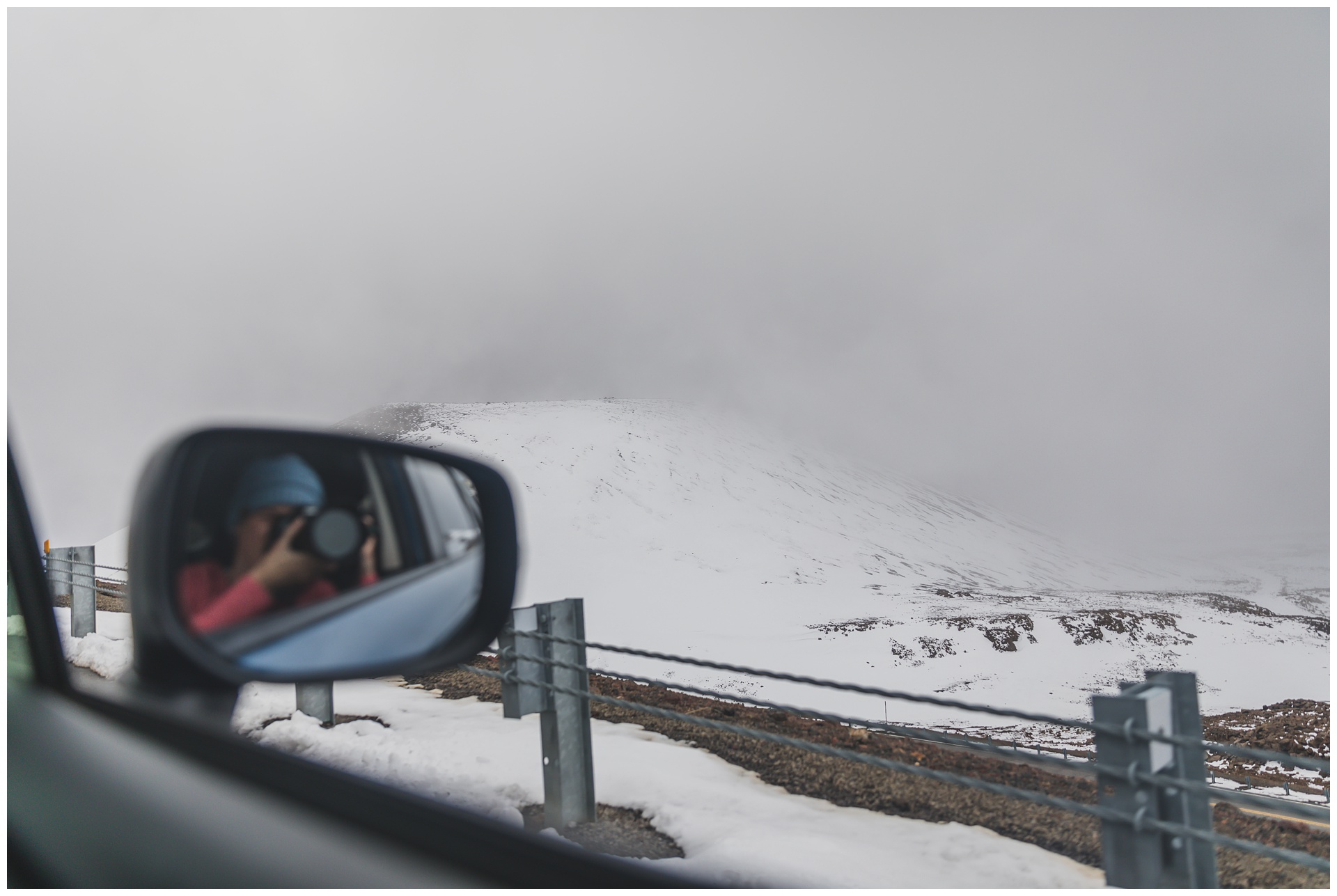
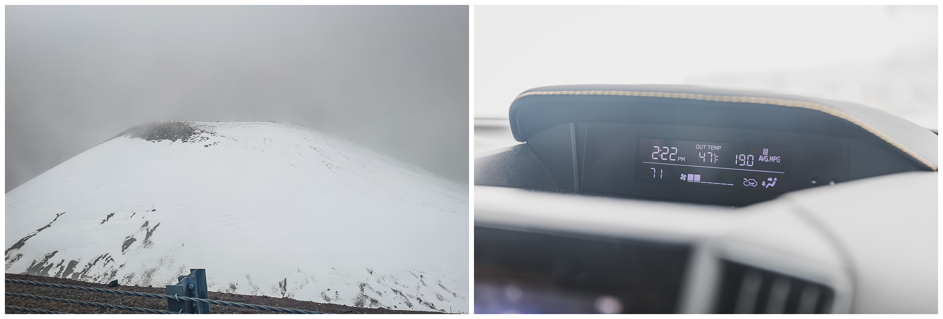
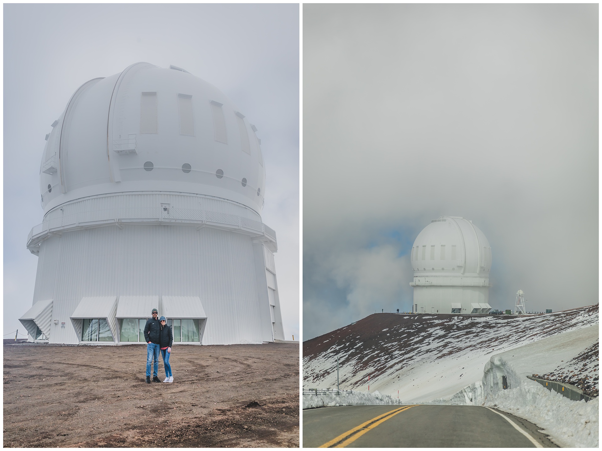
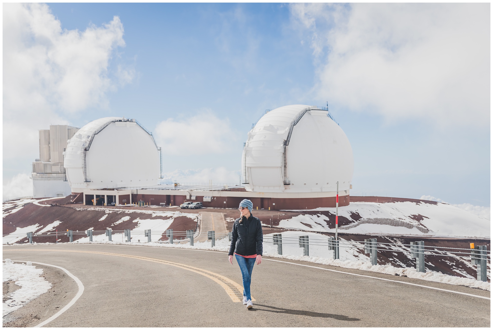
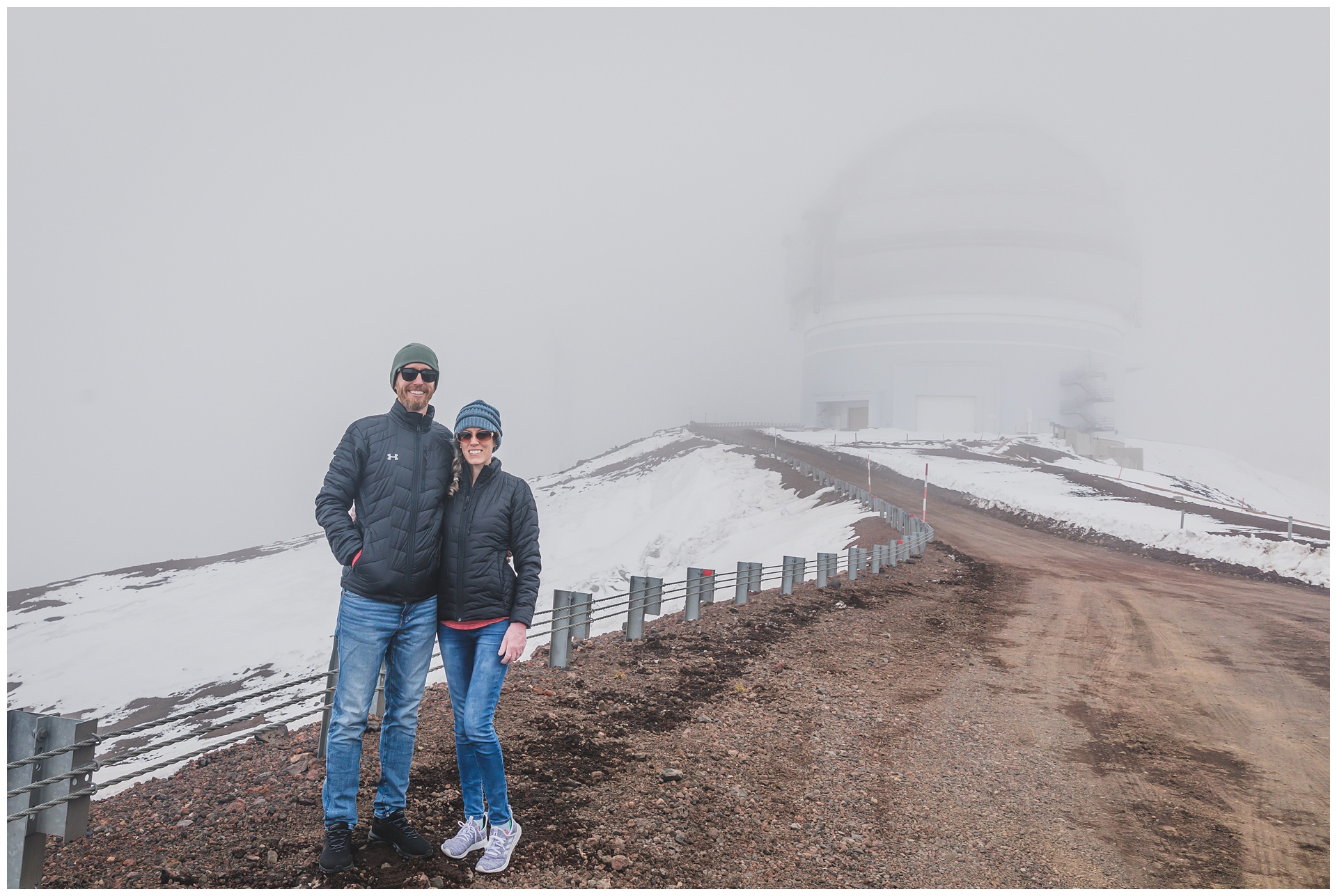 Snow and temperatures in the 40s (that would continue to drop) welcomed us at the summit! As did quite a bit of cloud cover. A nice guy named Mark felt bad we weren’t getting a clearer view and asked if we’d like to look around the observatory where he works, which was an awesome surprise! Thus we got a private tour of the Canada-France-Hawaii Telescope, which as the name indicates is used by Canadian and French astronomers, as well as astronomers associated with the University of Hawaii.
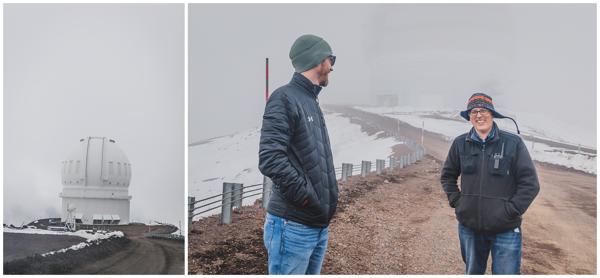

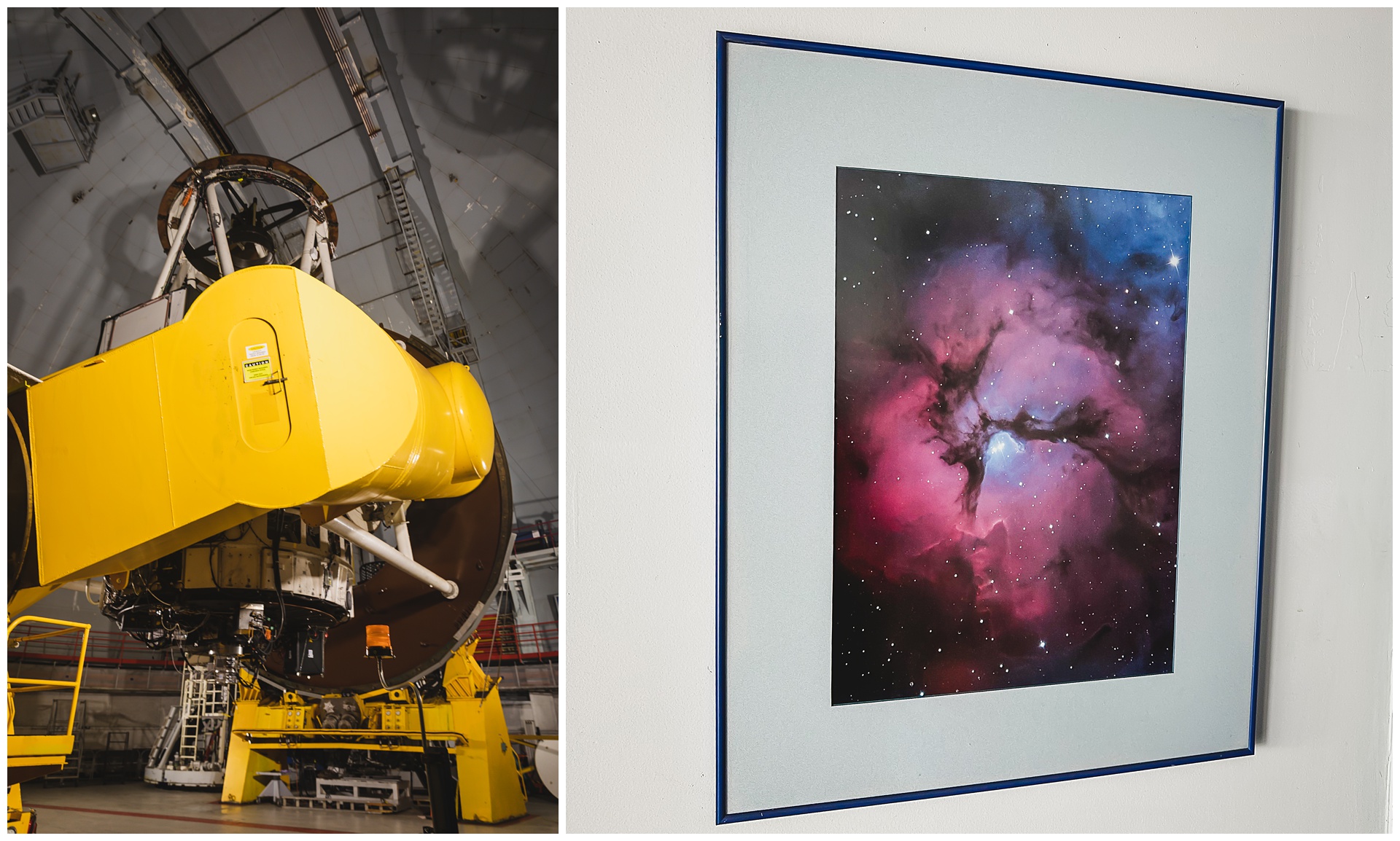
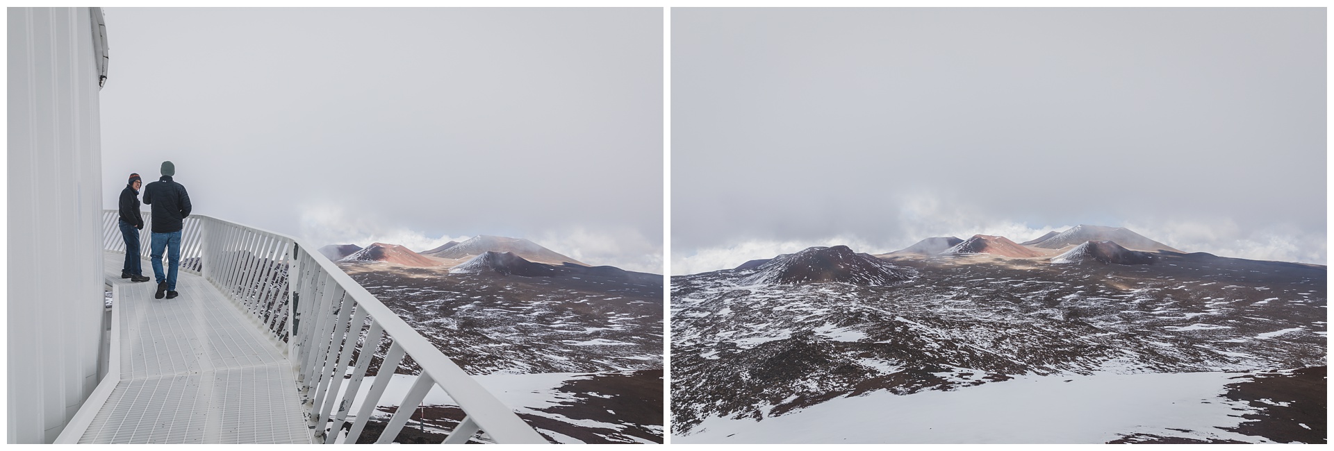
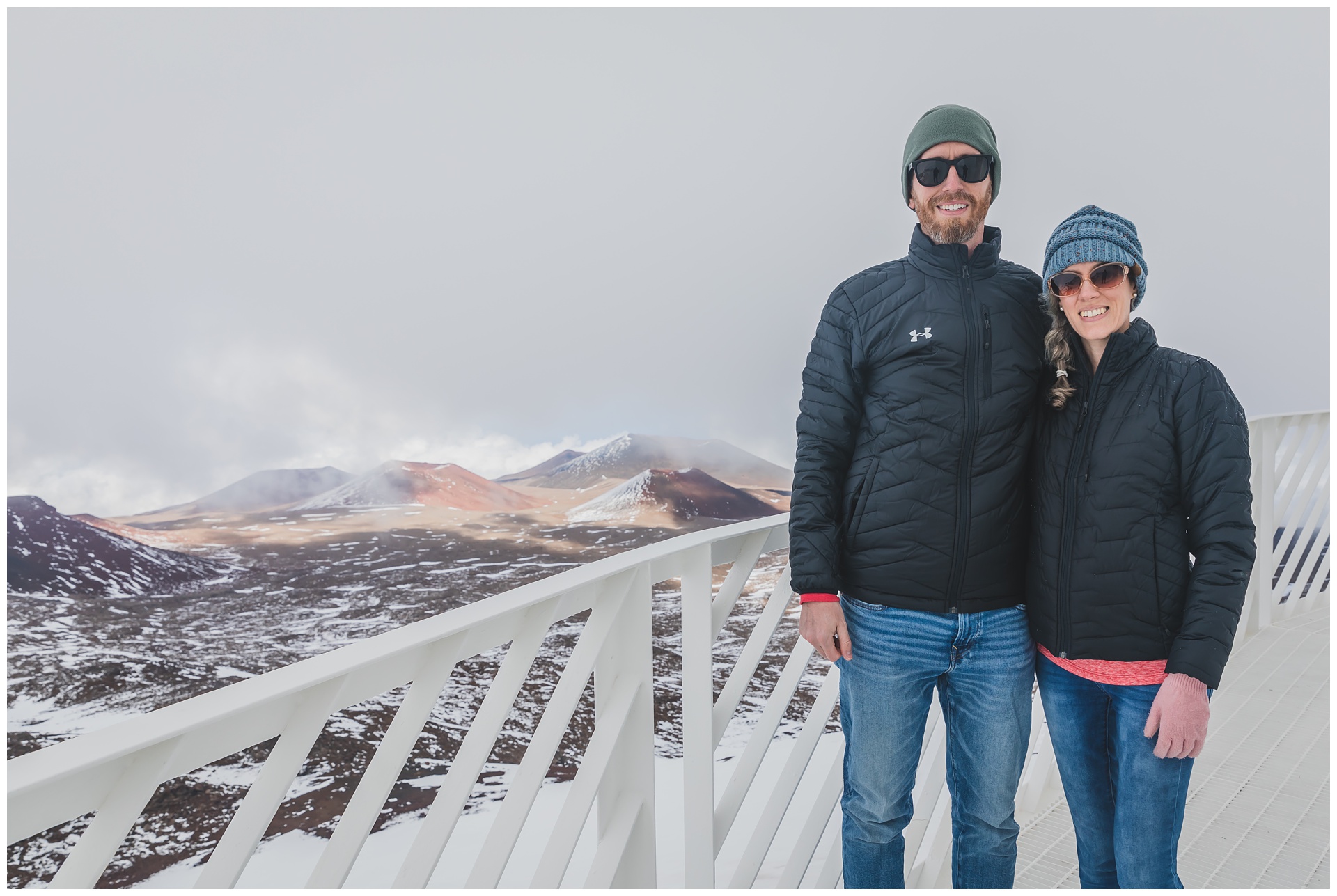
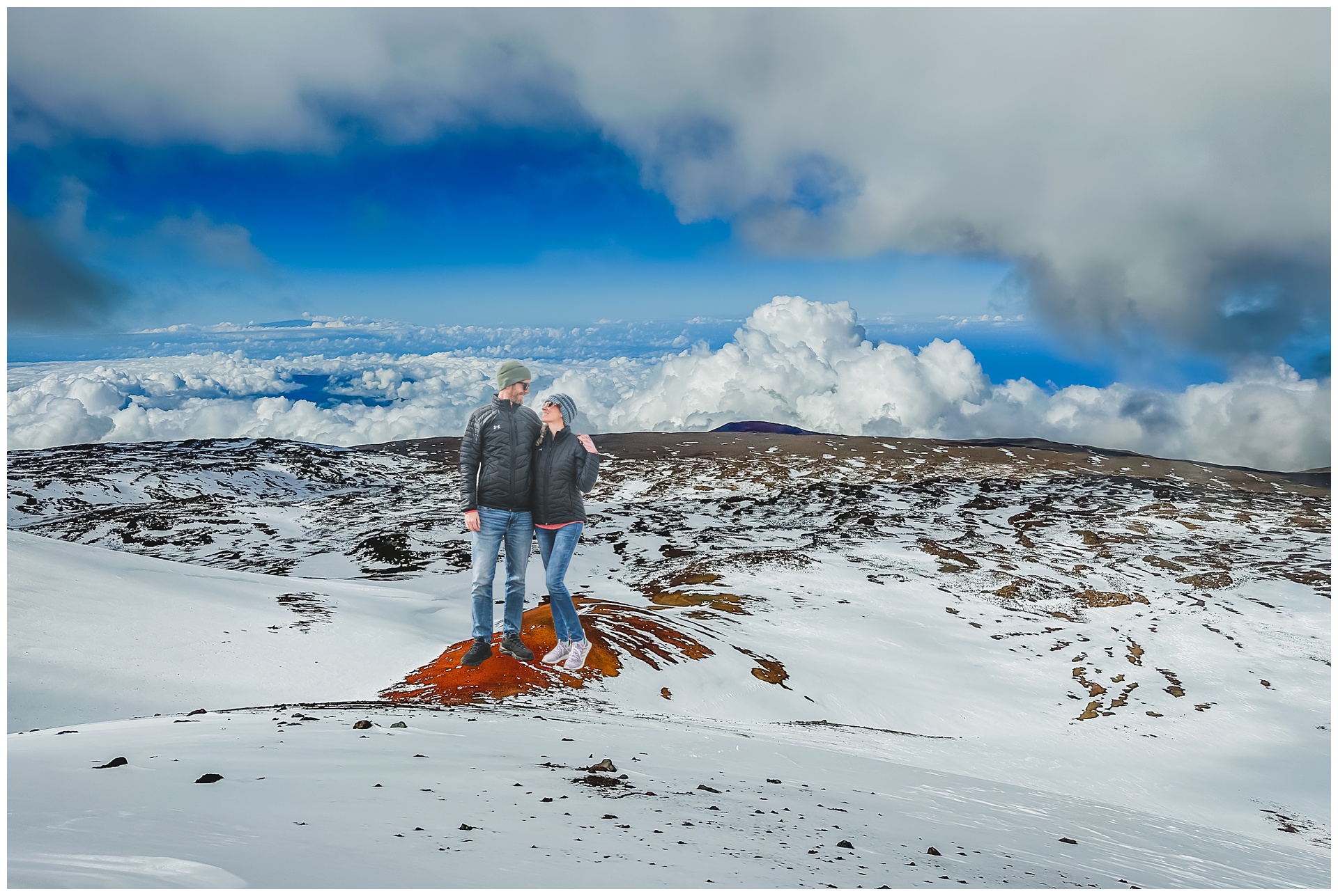
 After our impromptu telescope tour, we actually did get some sun and clearer skies. It was awesome to once again be on top of a volcano above the clouds, this time surrounded by snow in a setting that most people would never imagine is part of Hawaii!
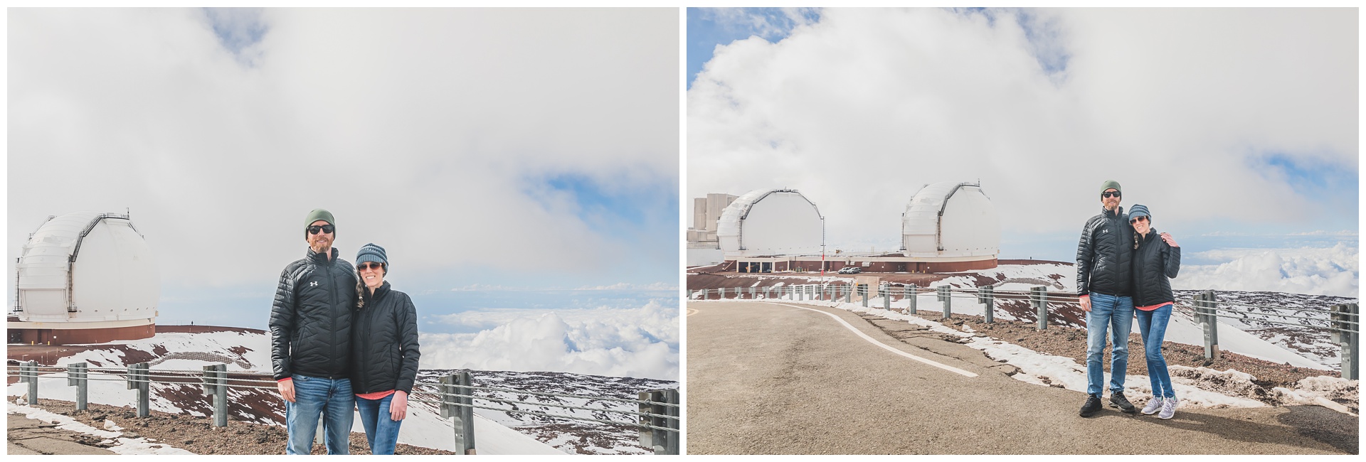
 We wore our Chiefs shirts partly just because they were among the warmer items we had with us, but it was also a very fitting outfit choice for this day that happened to be exactly three years after the Chiefs’ 02.02.20 Super Bowl win. And within two weeks, they’d win the Super Bowl again!
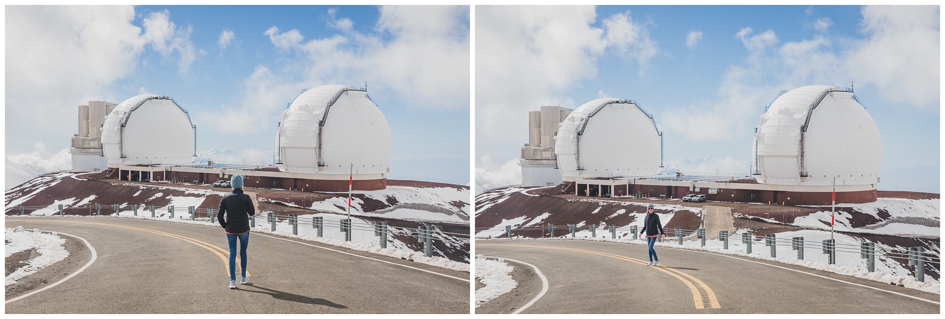
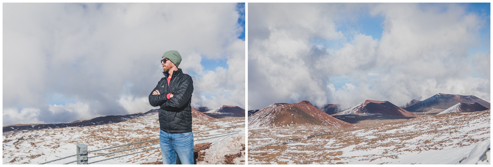
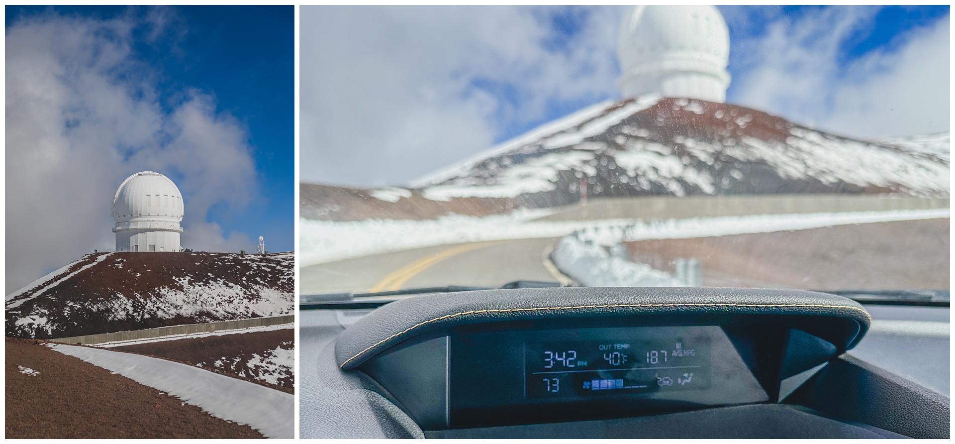 The temperature had dropped to 40 degrees by the time we needed to head out for the airport in Hilo. But before we left the summit, I made sure to photograph our rented Subaru in front of the Subaru Telescope. (It’s the square one on the left and is operated by the National Astronomical Observatory of Japan.)
 We made the return trip just fine (despite warnings about vehicles catching on fire during the descent) – even passing the brake inspection at the visitor center with flying colors, as Seth had kept the car in first gear the whole way down. From there it was rain, then sun, then a flight delay that had us arriving in Honolulu in the wee hours of the following morning.
day 11 • 02.03.23 • oahu
Honolulu highlights
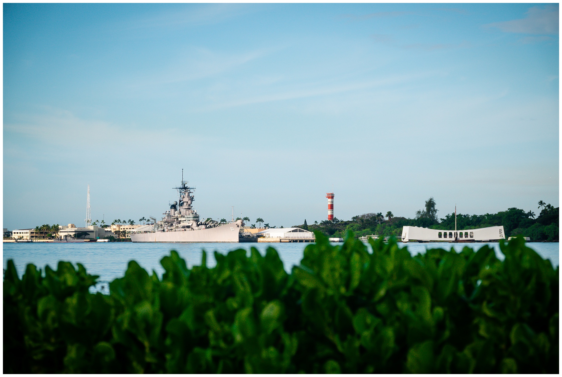
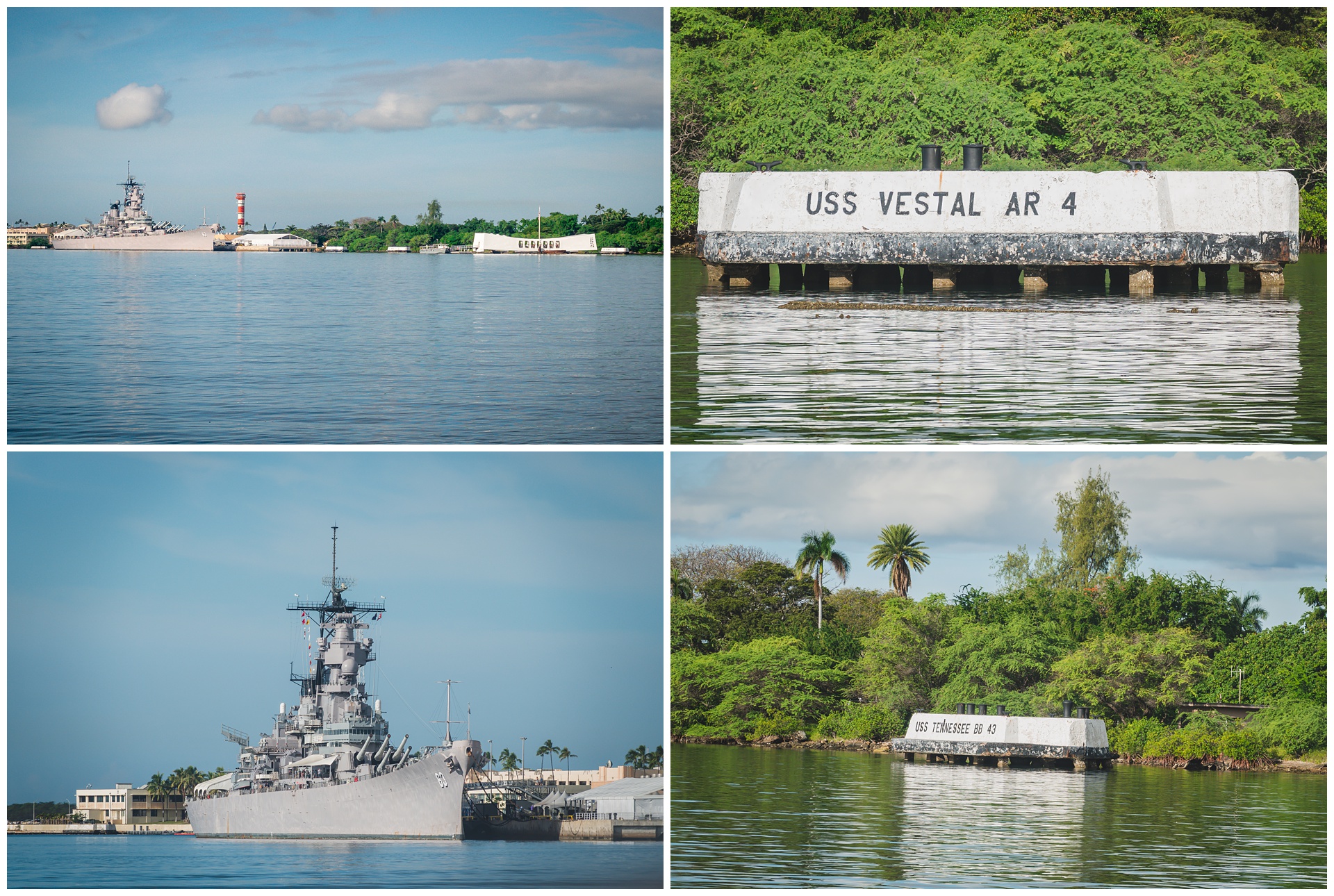
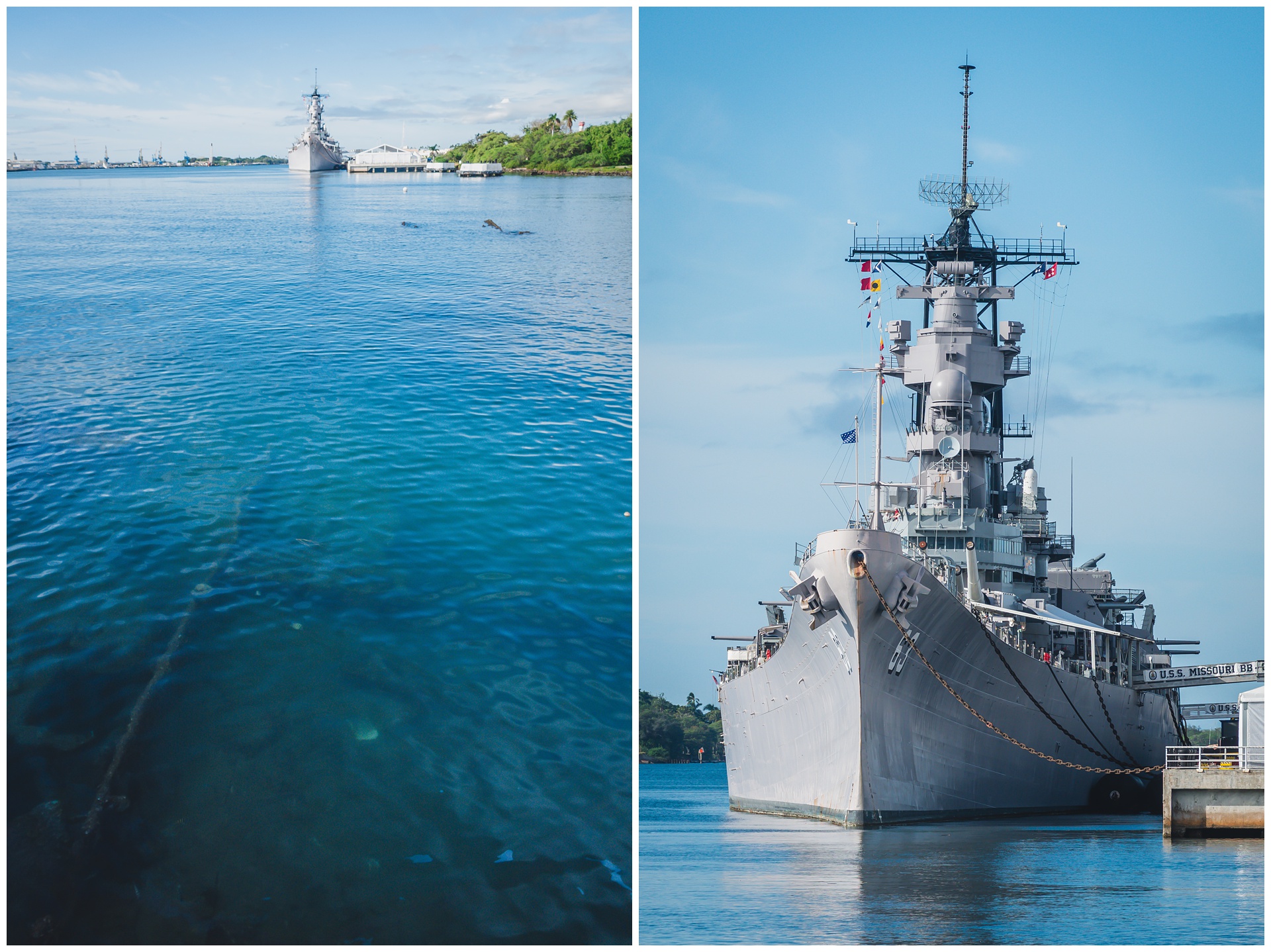
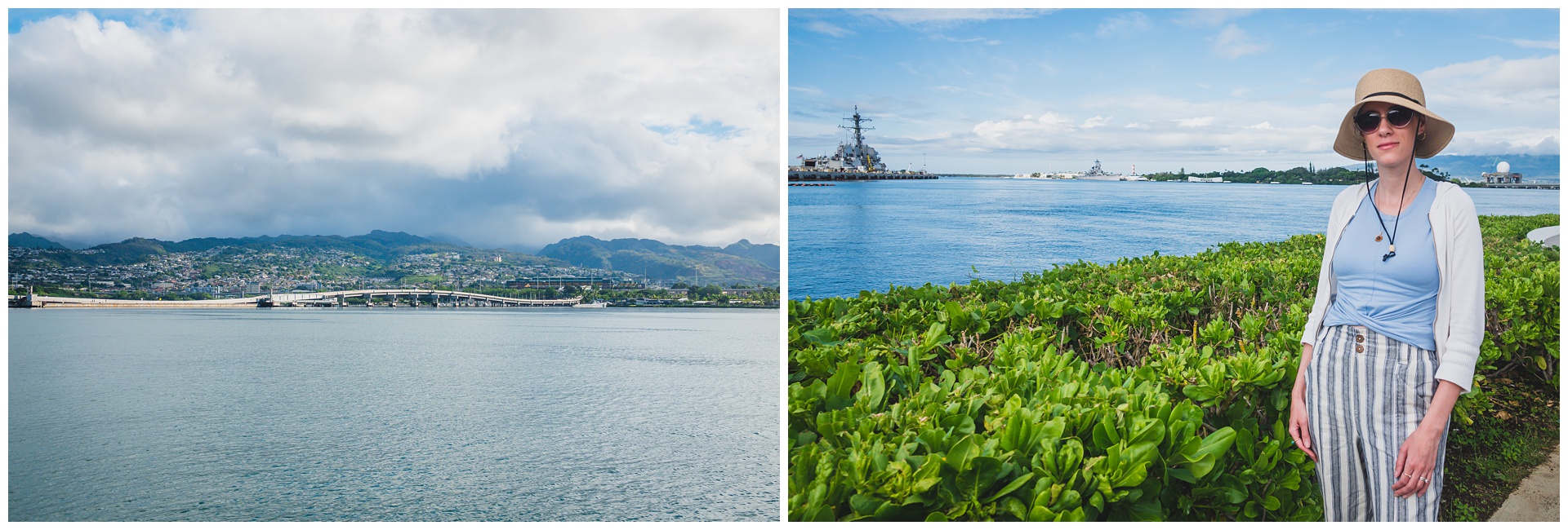
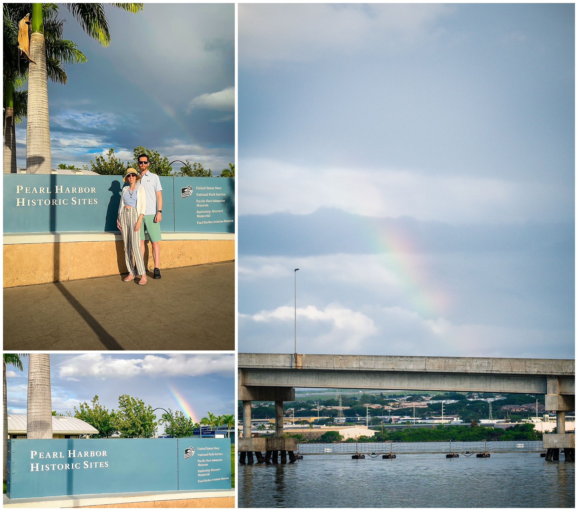 A rainbow awaited us at Pearl Harbor, our first stop on this day of Honolulu sightseeing. It would be easy to spend an entire day here, but with limited time, we toured only the USS Arizona Memorial. With it essentially being a gravesite for more than 900 men whose bodies weren’t recovered after the Japanese attack in 1941, it’s a weighty experience to stand over the ship.
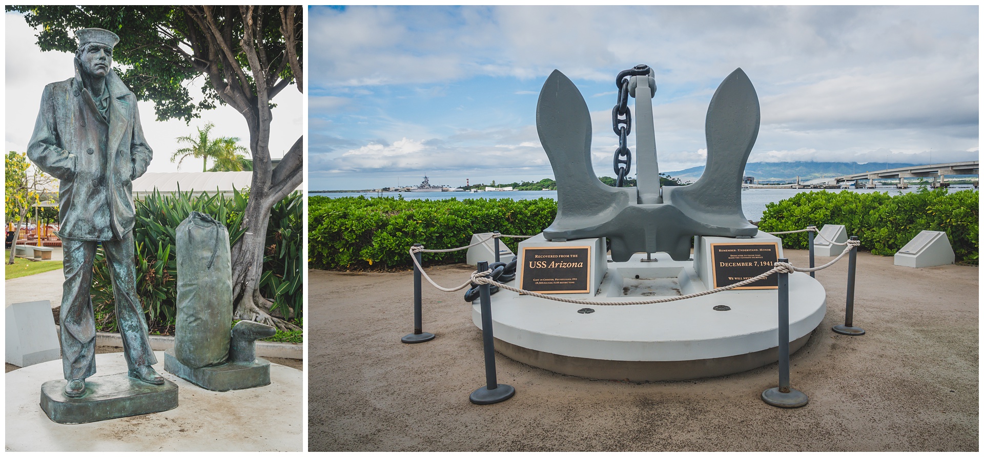
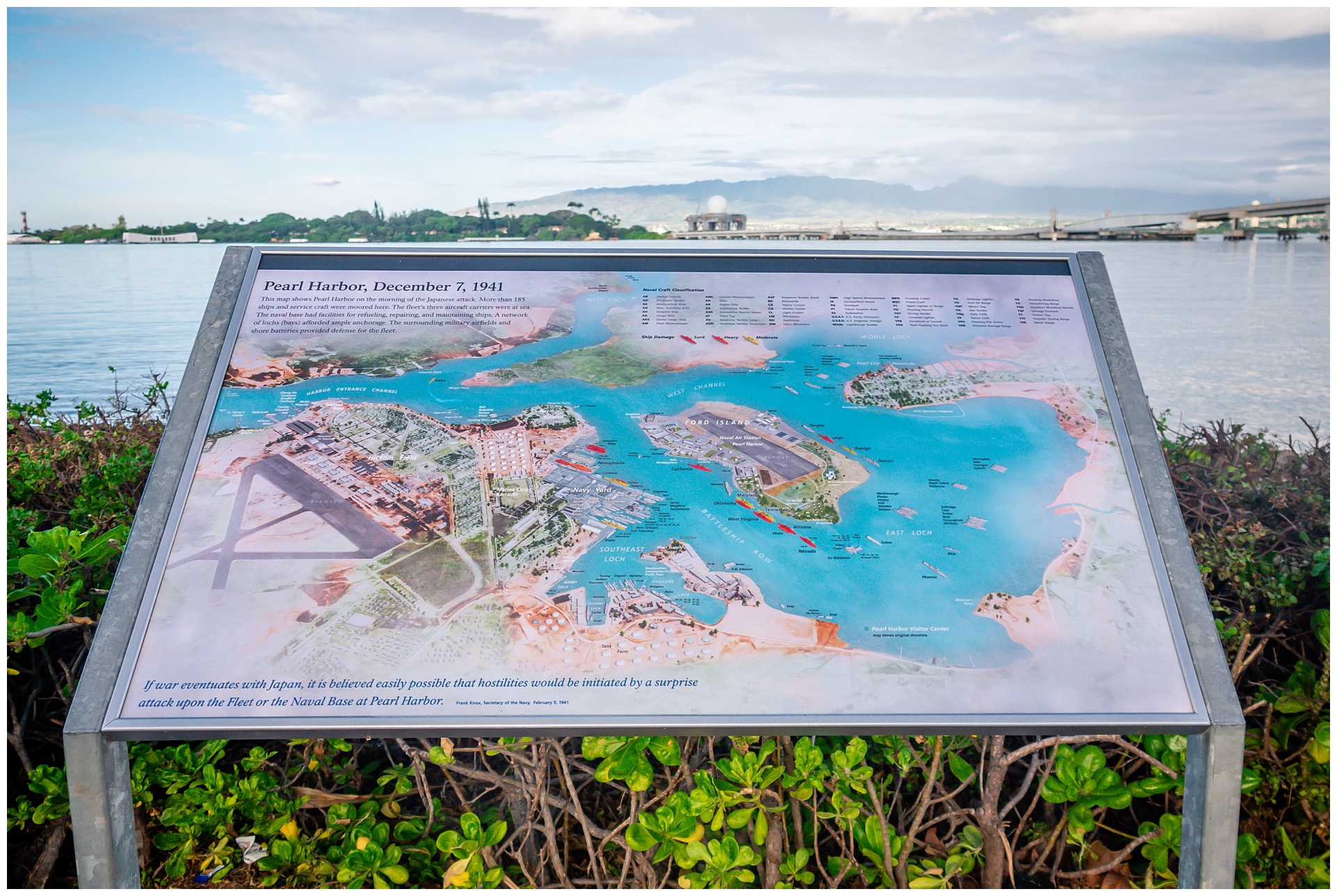
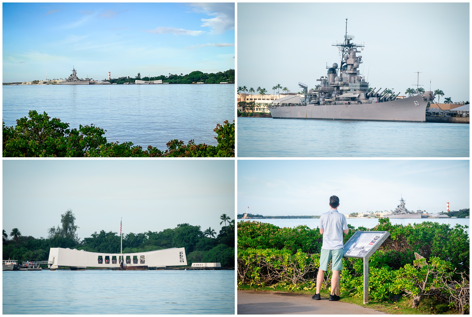
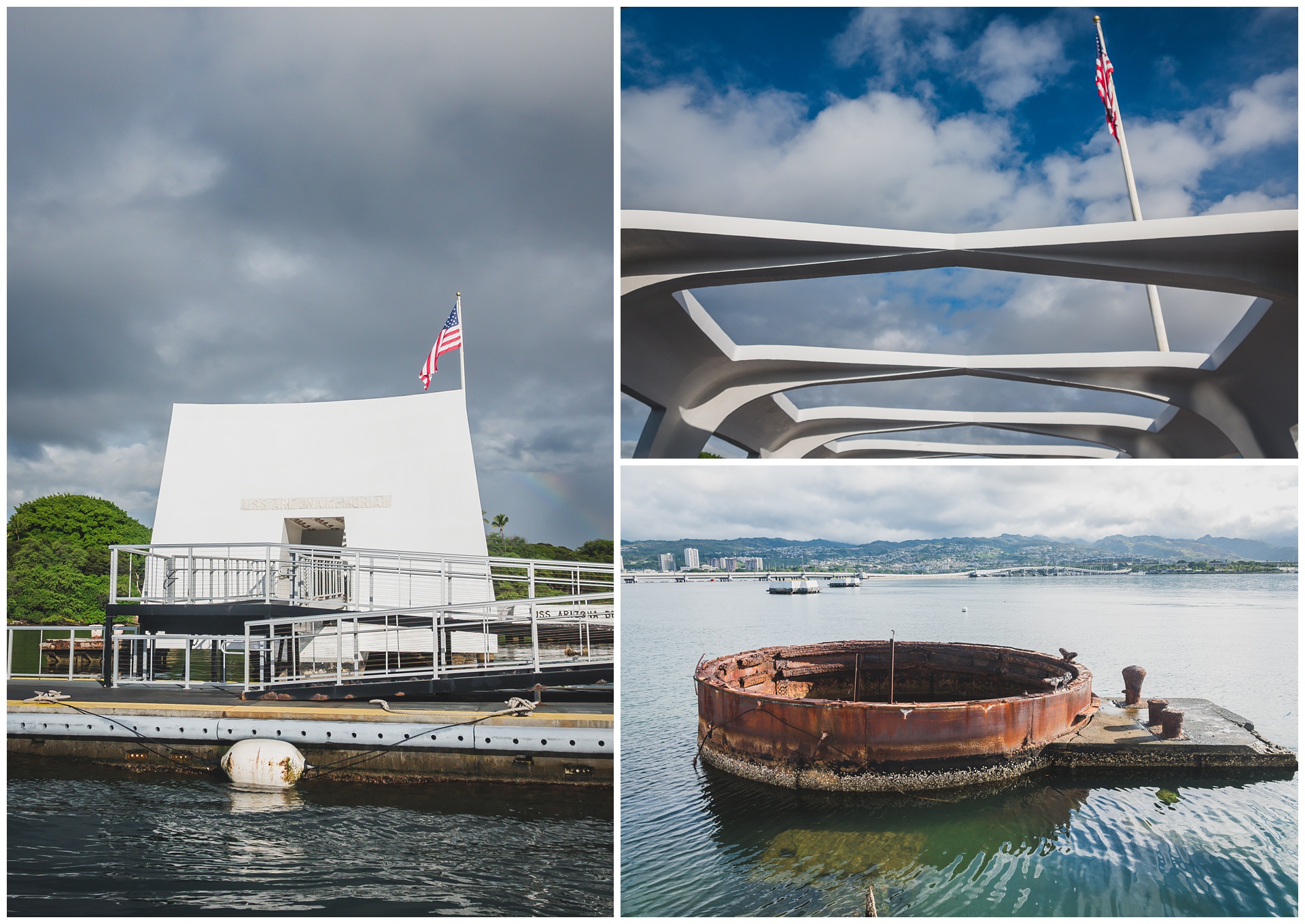 The rainbow was still visible above the Arizona when our shuttle boat arrived.
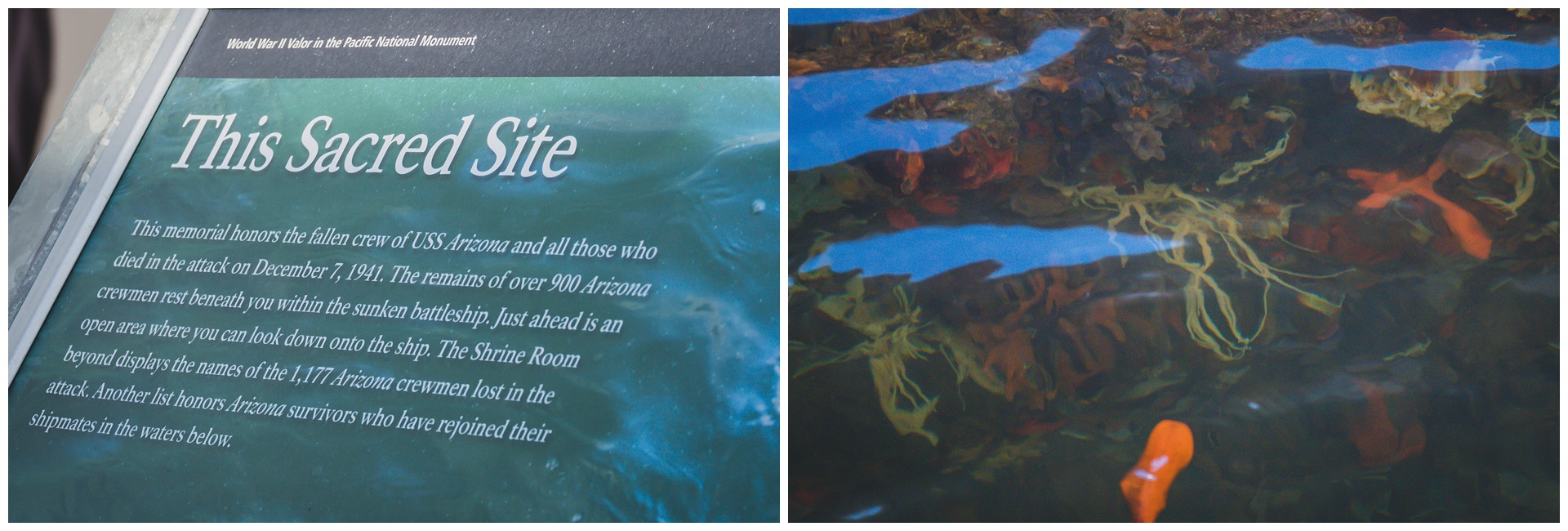
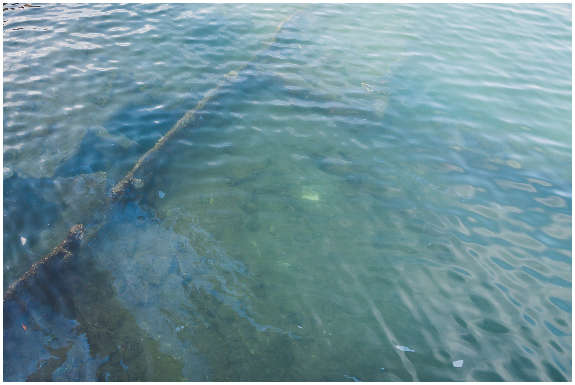
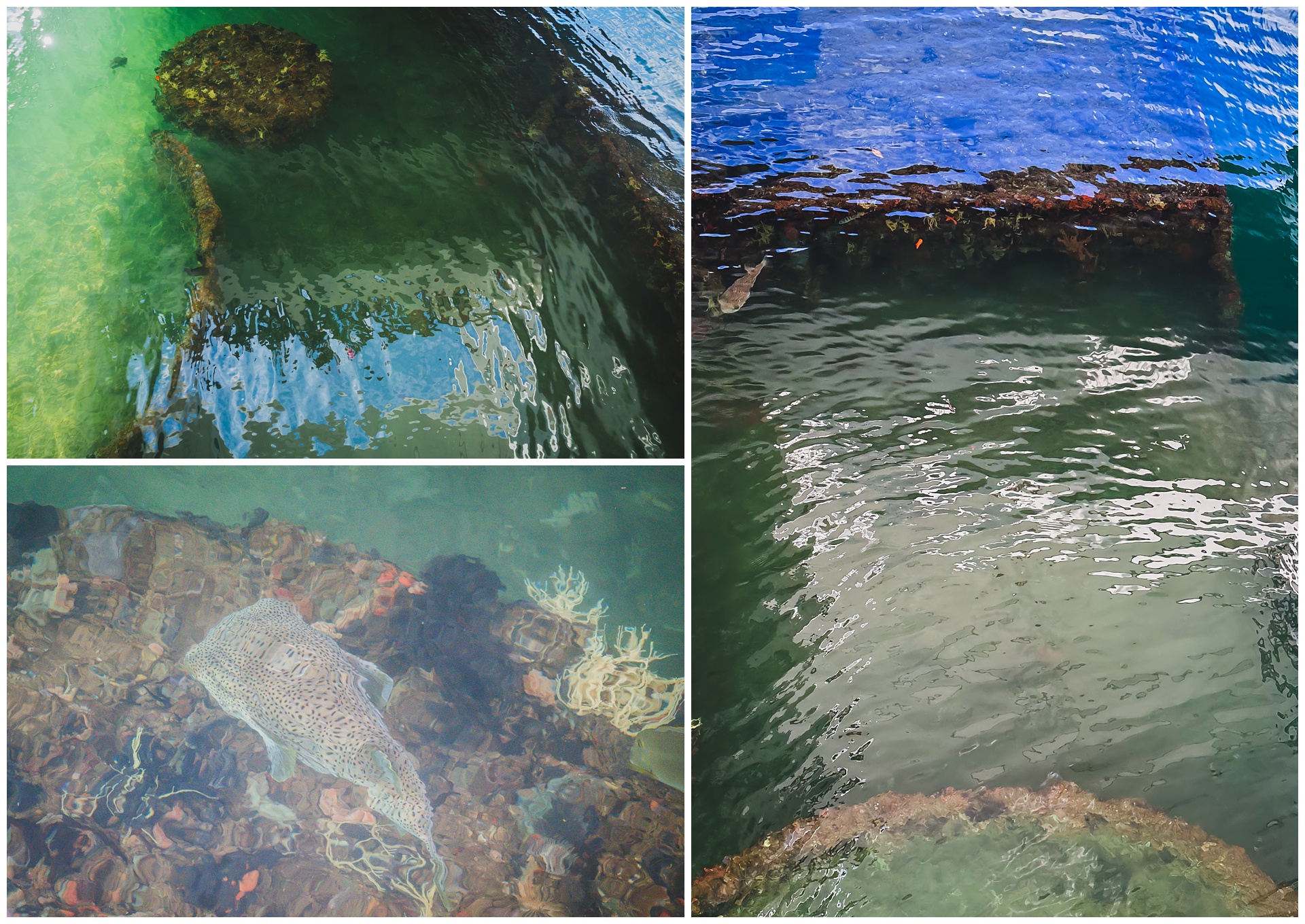
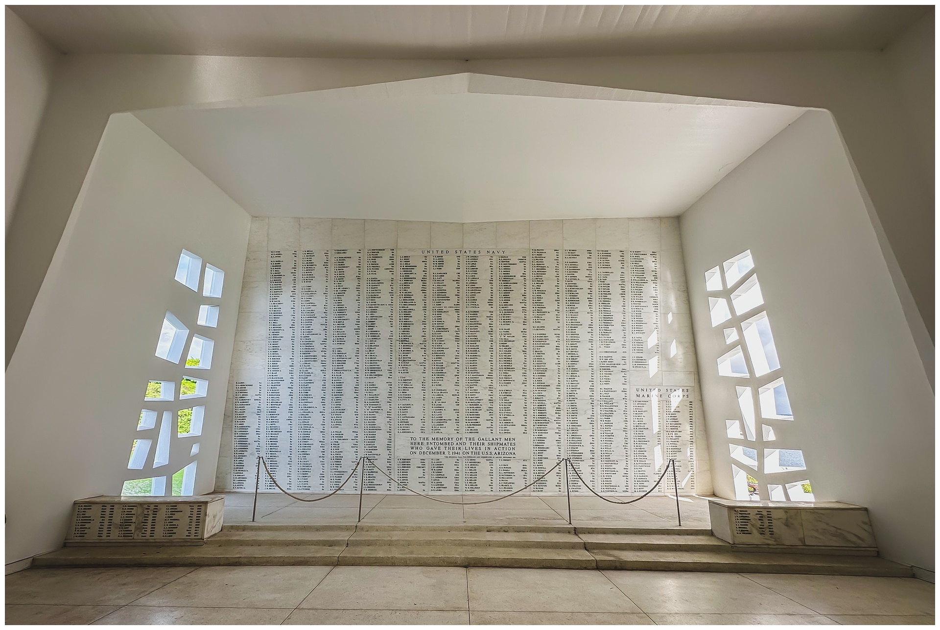 Above are the names of those who lost their lives in the Pearl Harbor attack, as well as some who survived it but had their ashes returned to the ship after their passing. And below is the USS Missouri, the last battleship commissioned by the United States and the site of the Japan’s surrender. I like the symbolism of framing it and the Arizona together (at left), since one represents the United States’ entry into World War II and the other represents the end of the war.
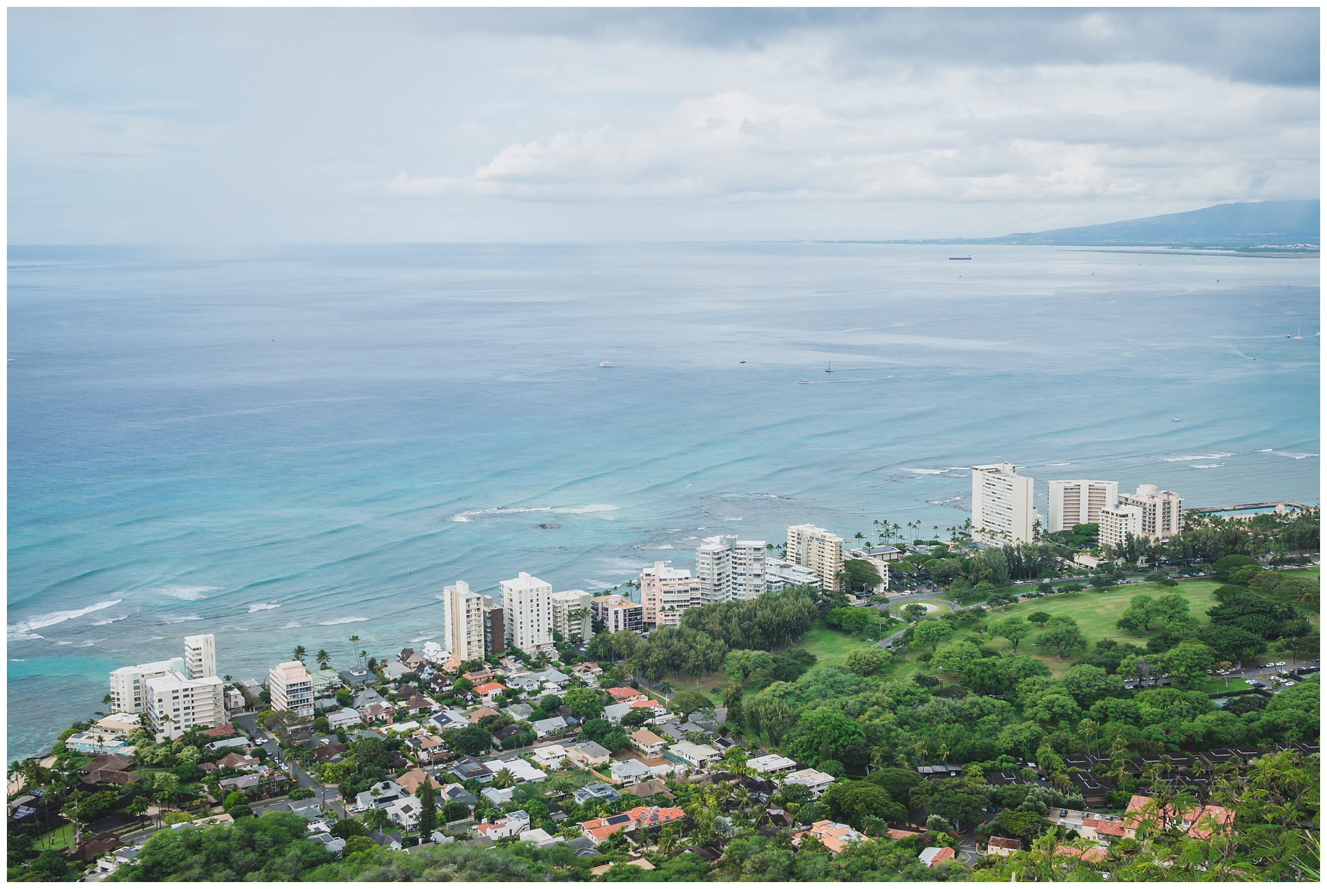
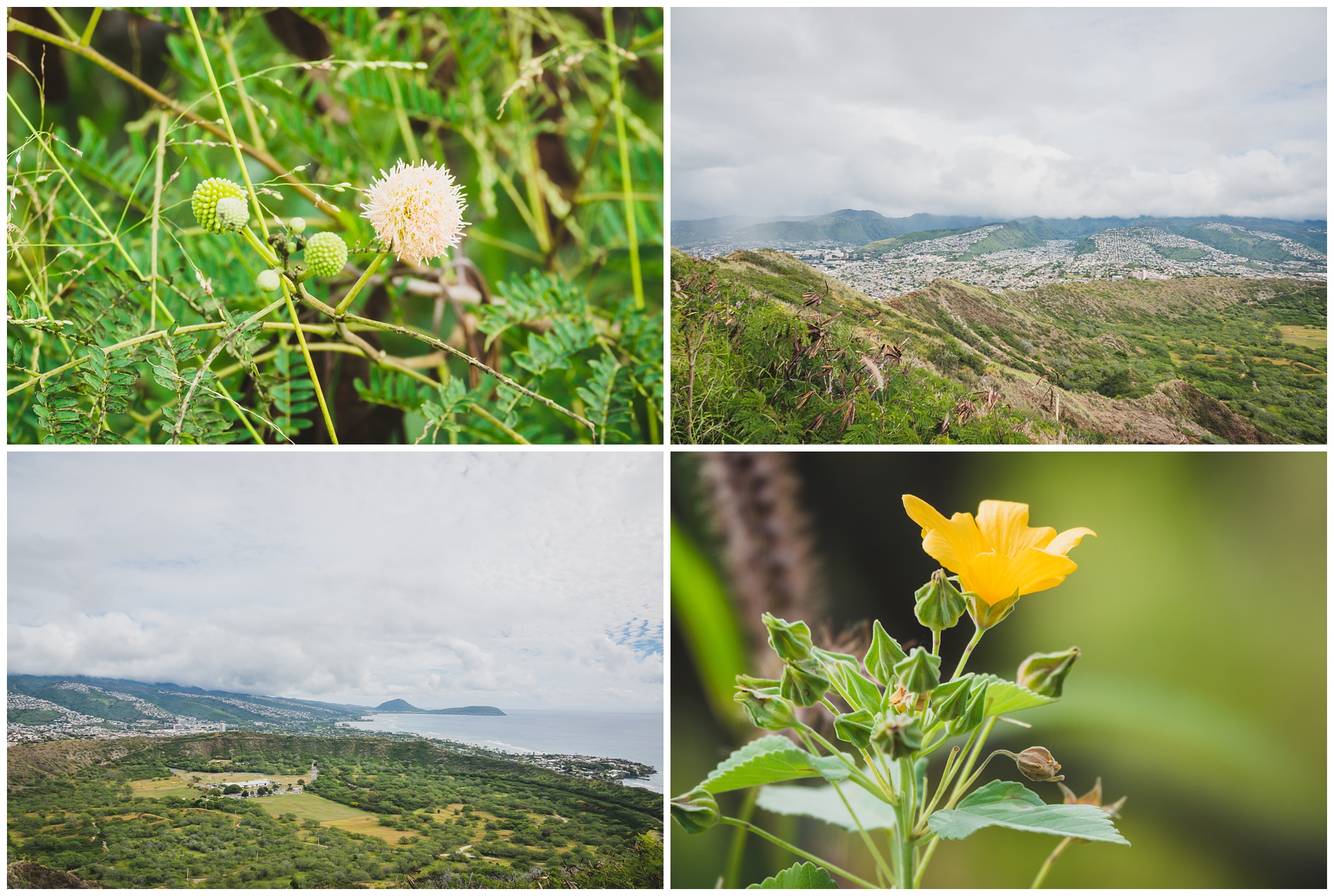
 After Pearl Harbor, we made our way to Diamond Head, a volcanic tuff cone named for sparkling volcanic crystals in nearby sand that sailors mistook for diamonds. It was used as a strategic military lookout in the early 1900s and later named a National Natural Monument (among other honorable designations). Today, it’s one of the most popular places to hike in Honolulu, with a trail that ascends 560 feet in less than a mile from crater floor to summit.
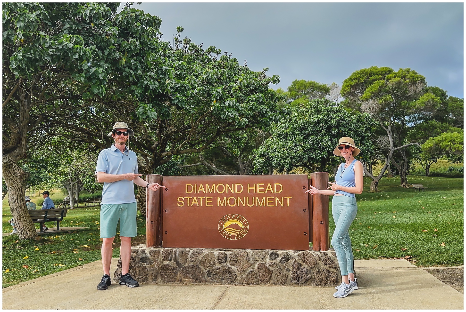
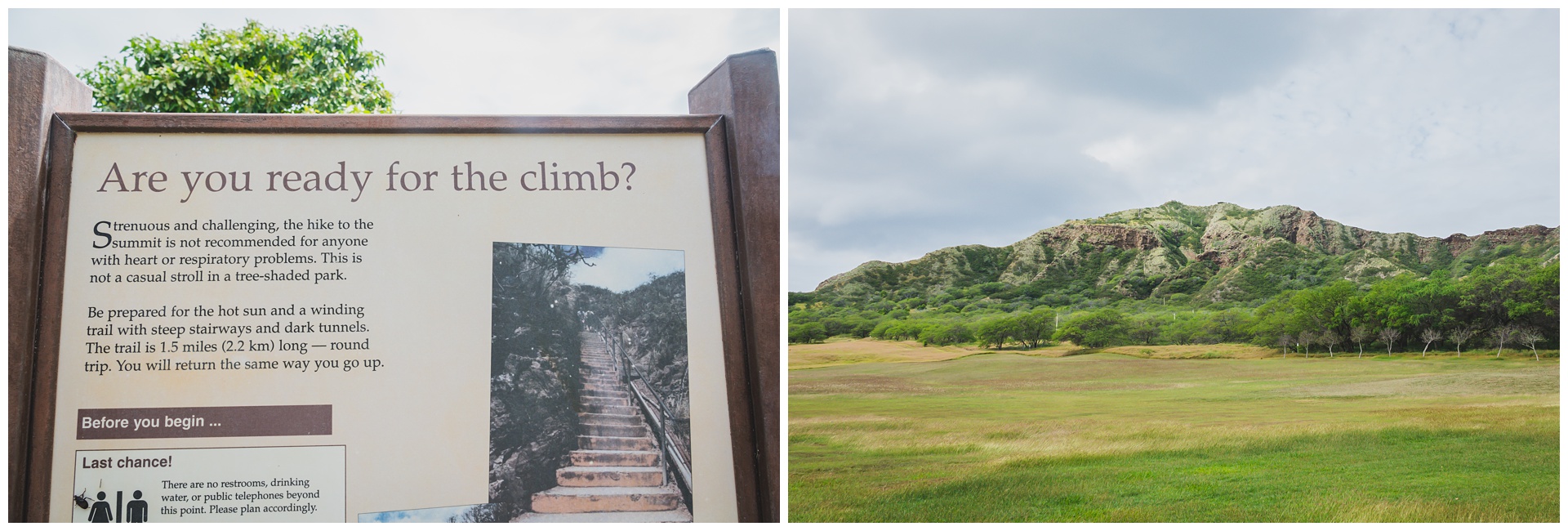
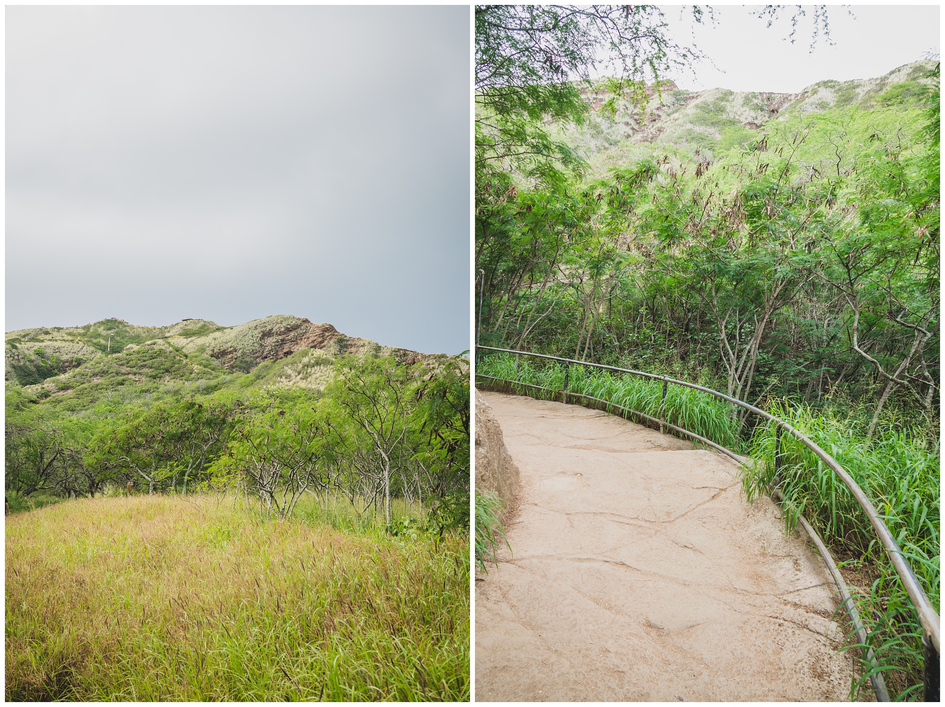
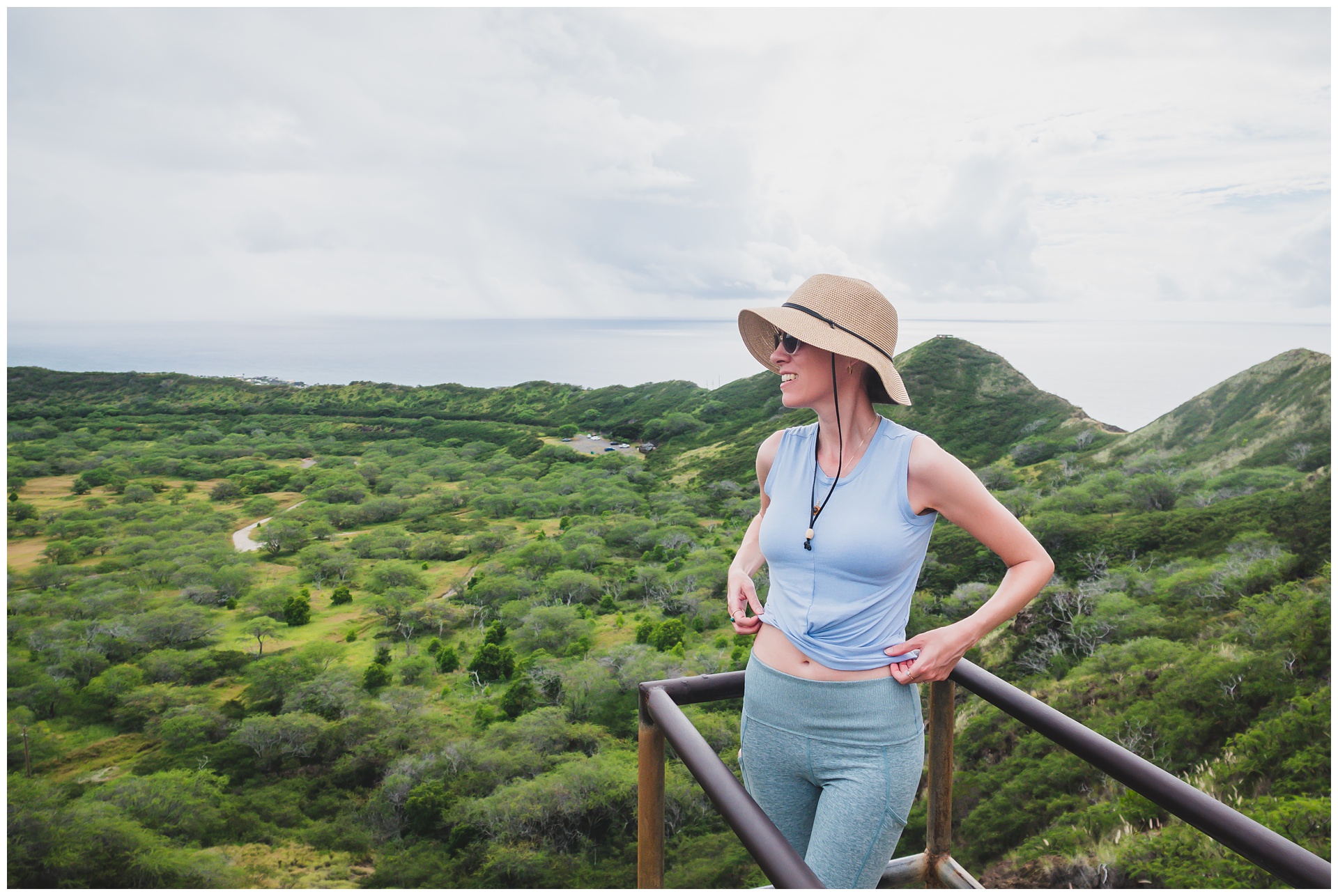
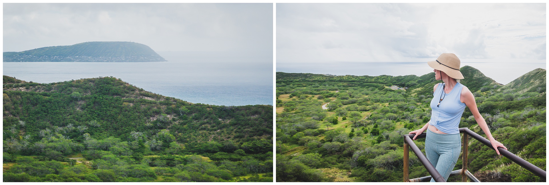
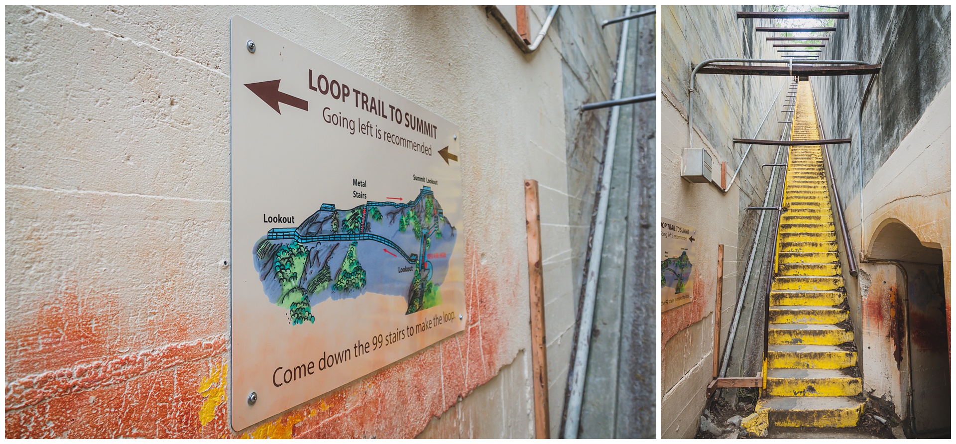
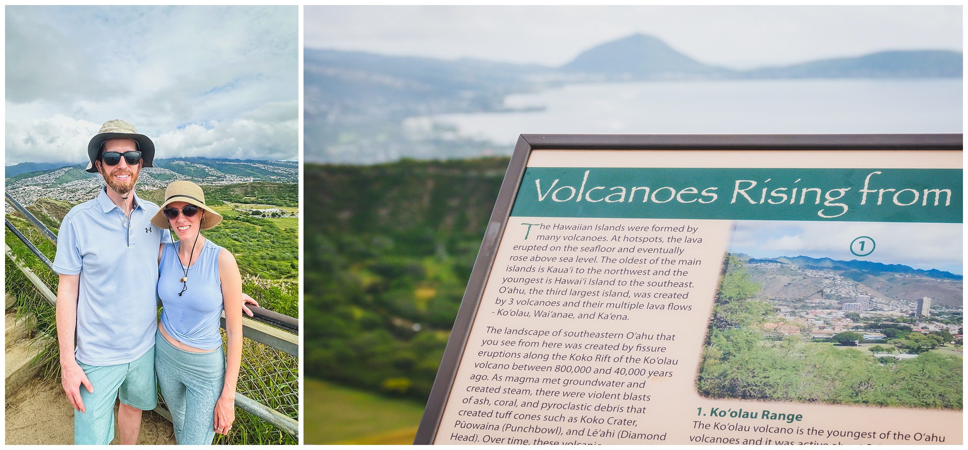
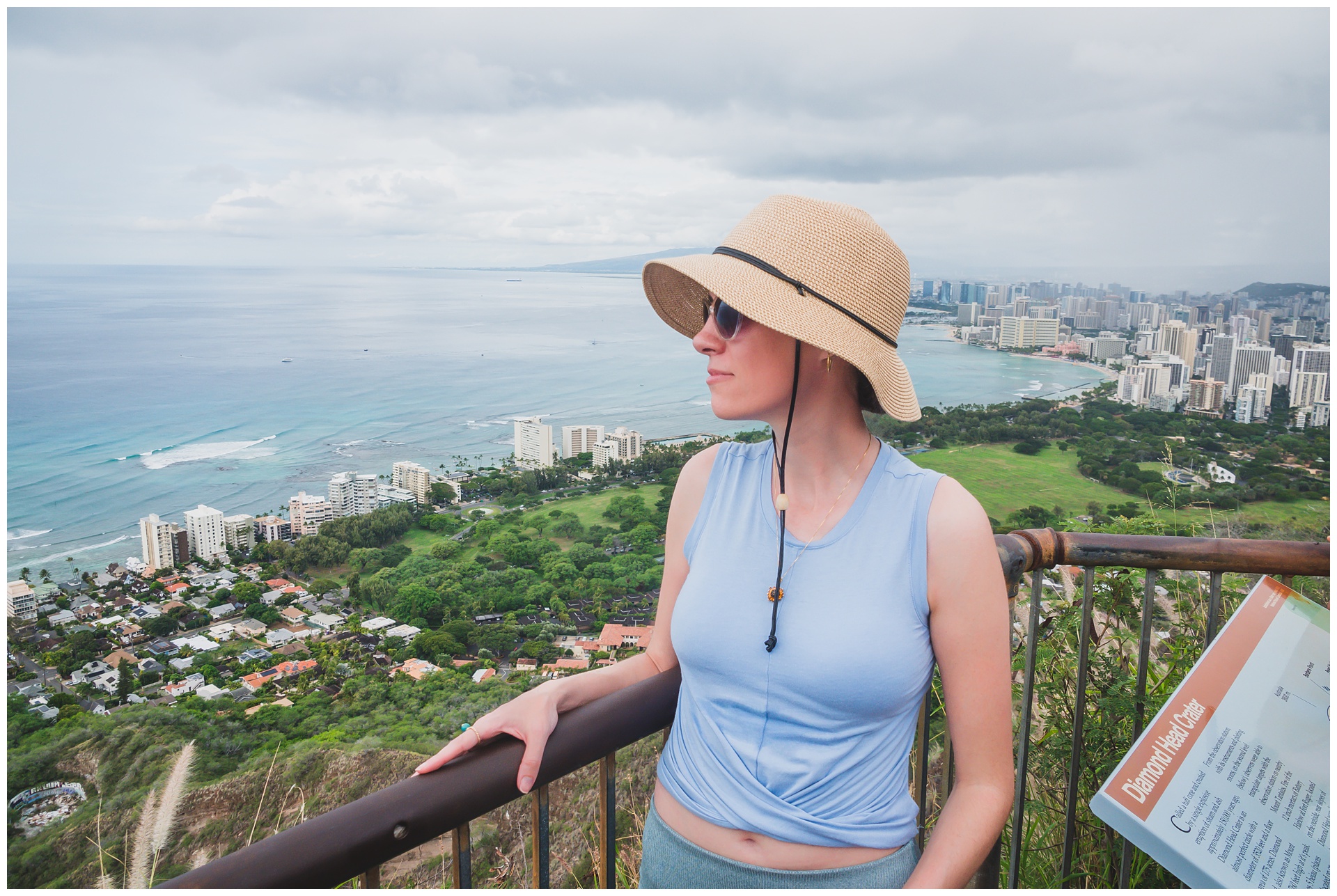 At the summit is the iconic Diamond Head view of Waikiki Beach and downtown Honolulu. Also on top is the former military lookout, which provided shelter while giving panoramic views of Oahu’s south shore:
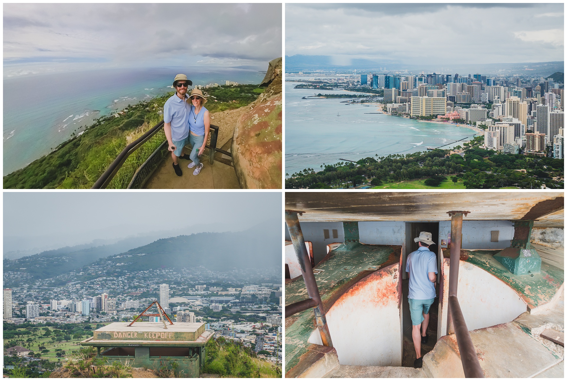
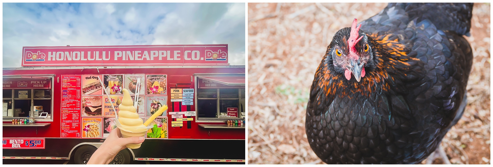
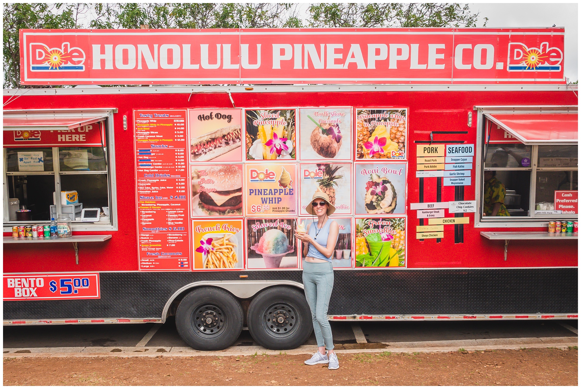 After finishing our hike, we stopped at this food truck for a bento box and some famed pineapple soft serve.
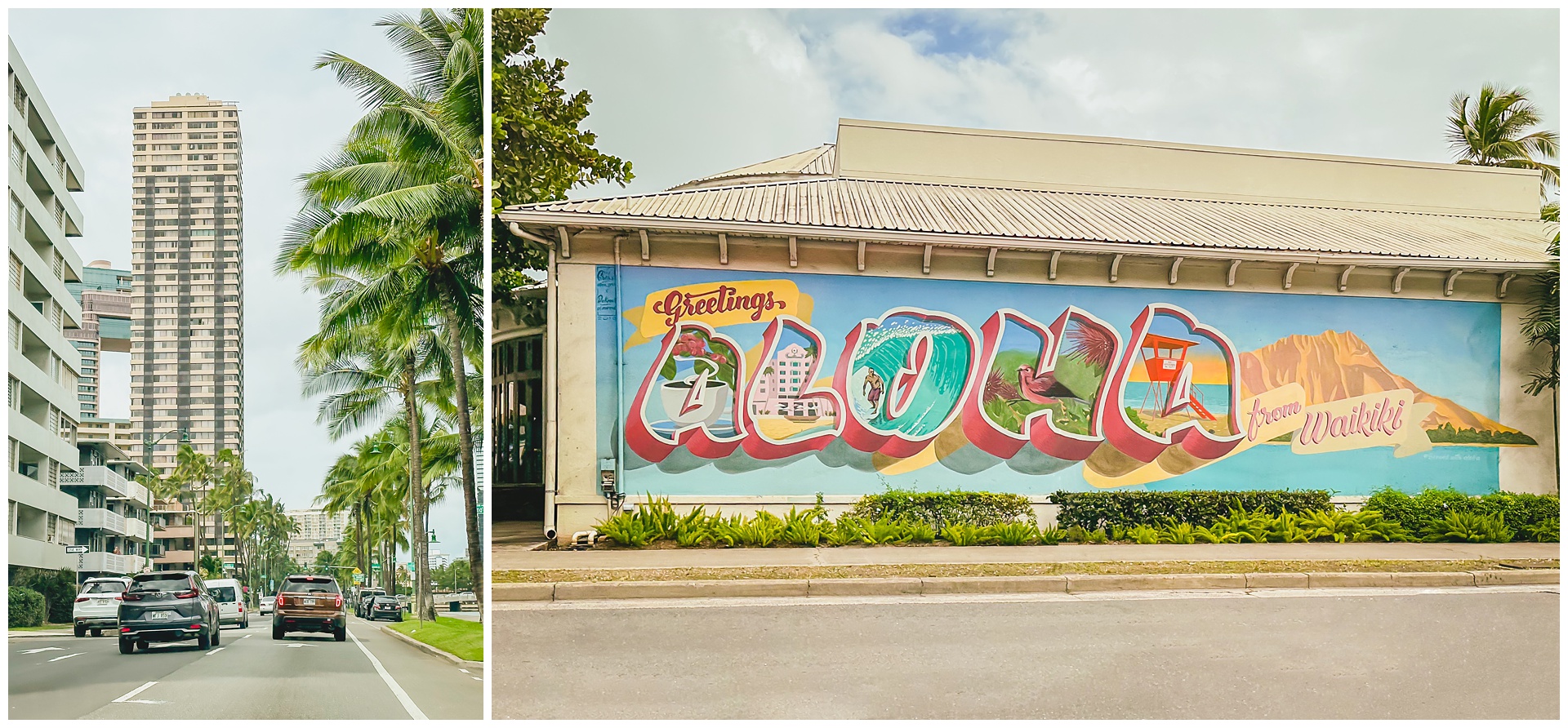
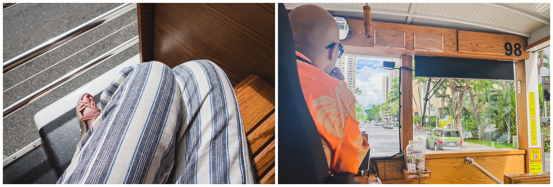 We took a Honolulu trolley tour that afternoon, which was a nice way to see and learn a lot while just sitting!
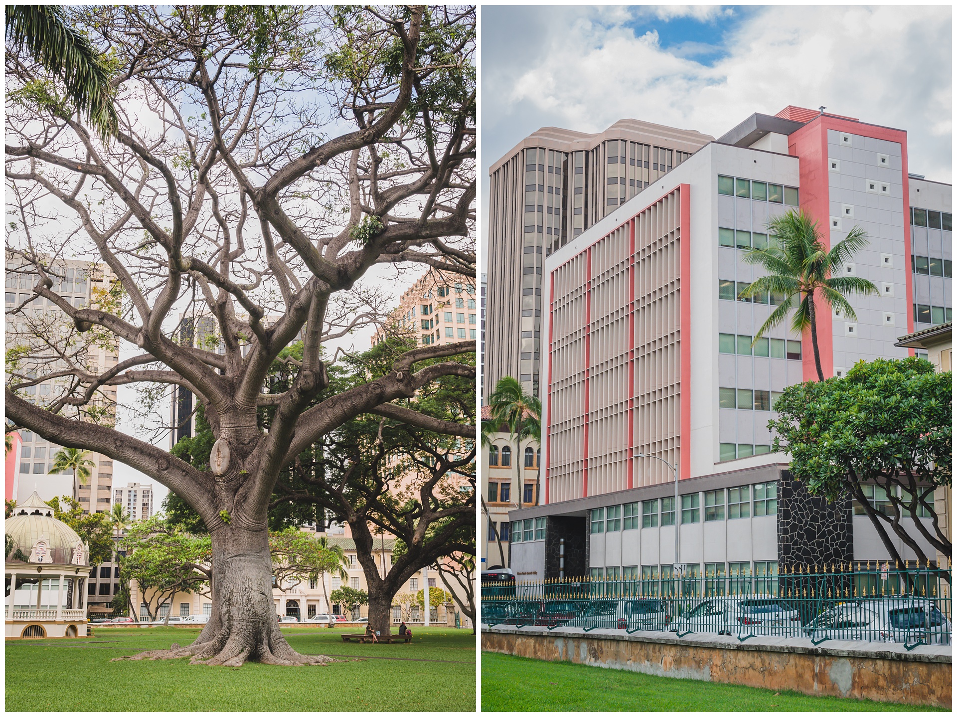
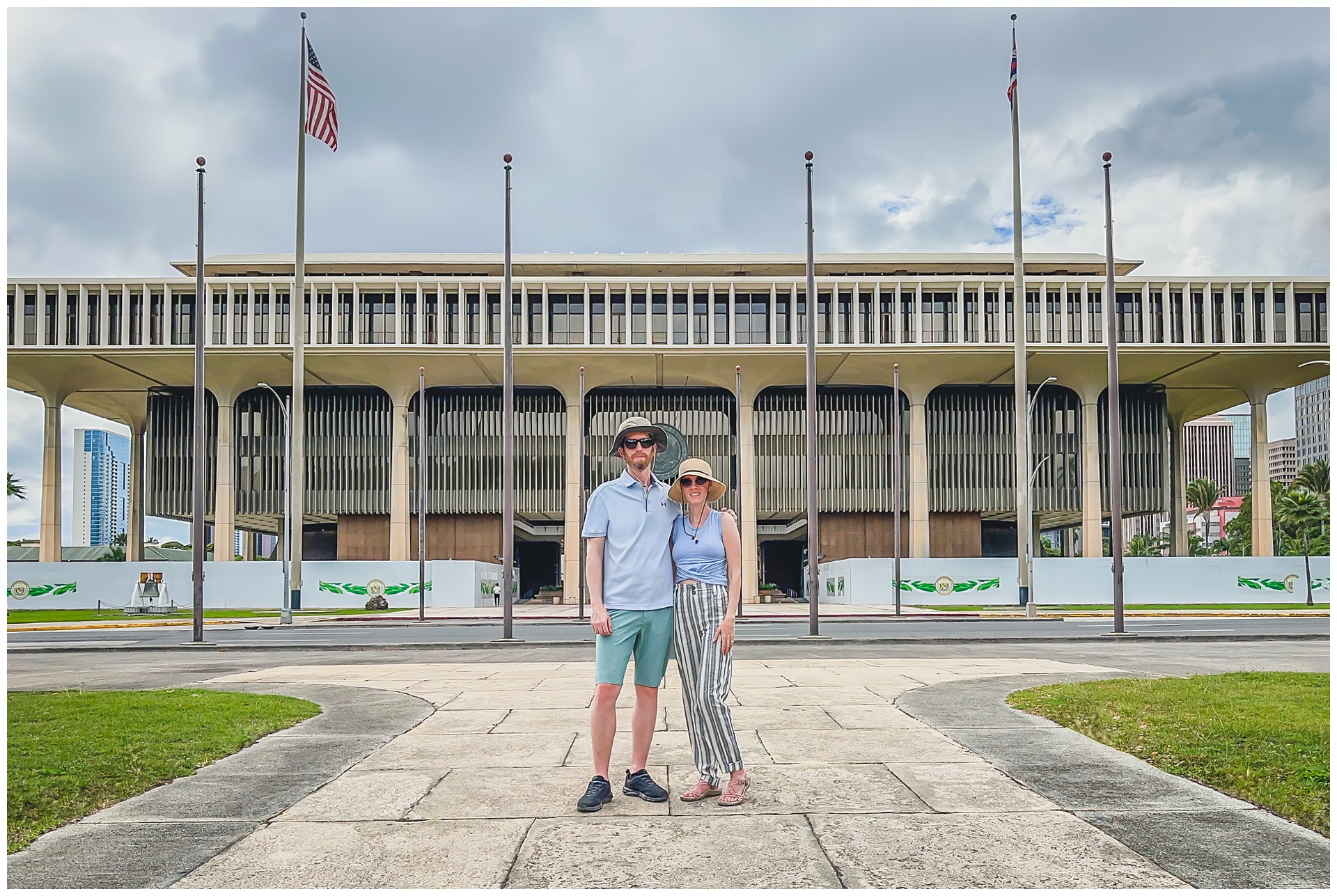 We hopped off the trolley at the Hawaii State Capitol (above), then walked to some other nearby historic sights. At below left is ʻIolani Palace, the residence of rulers of the Kingdom of Hawaii (and the only royal palace in the United States!) until the monarchy was overthrown in 1893. It’s now a National Historic Landmark listed on the National Register of Historic Places. At right below is a statue of King Kamehameha I, who united the Hawaiian islands as one kingdom in 1810. It’s located across the street from ʻIolani Palace, in front of the building that houses Hawaii’s State Supreme Court.
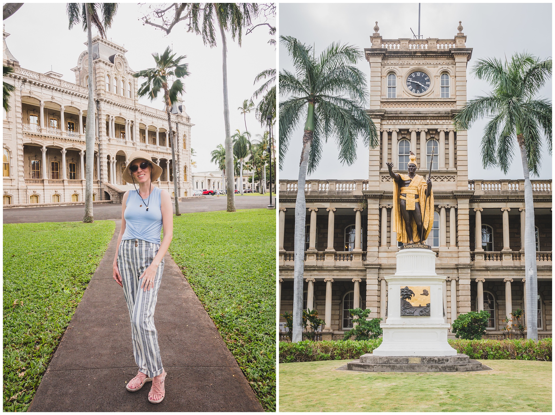
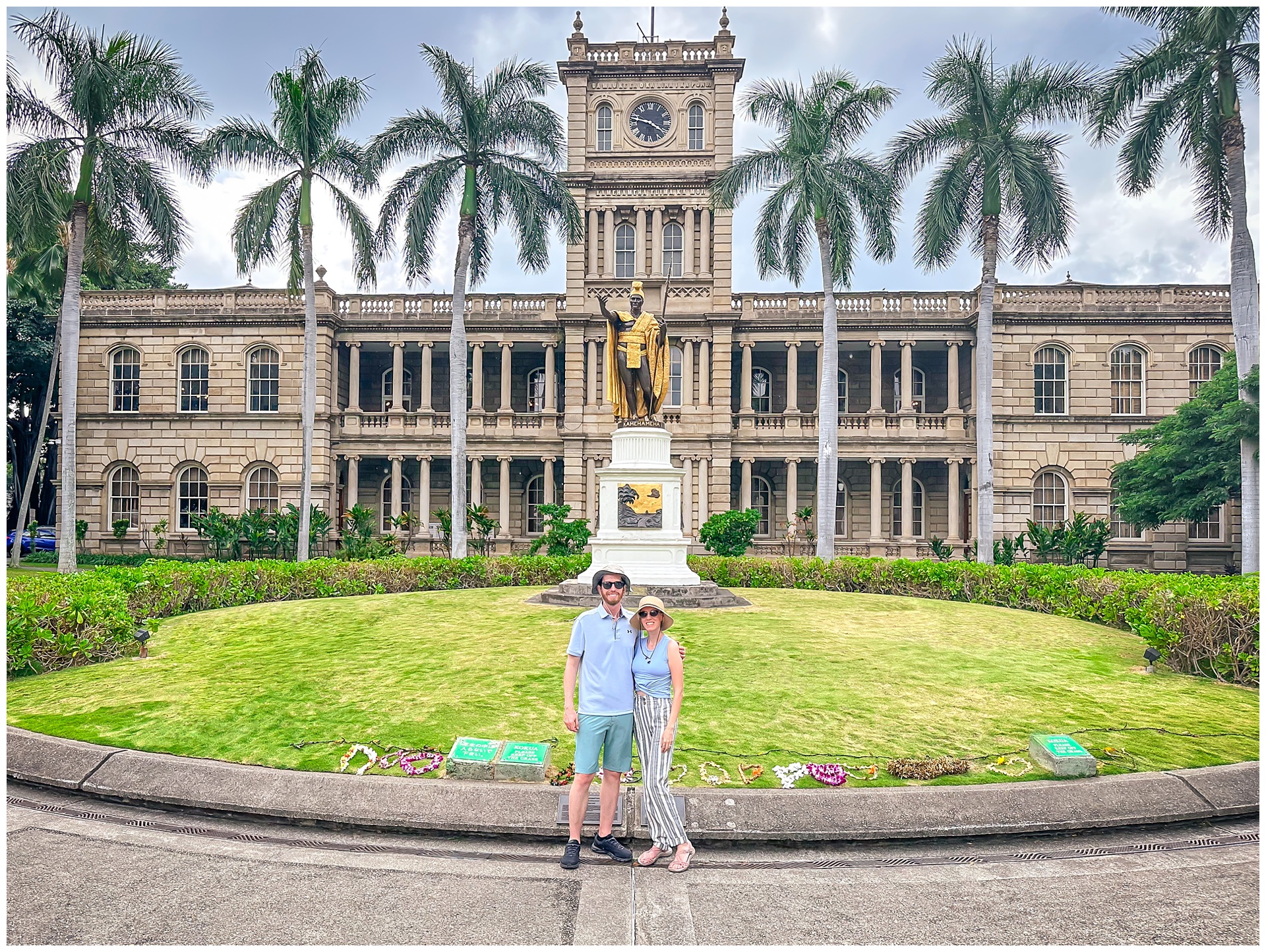
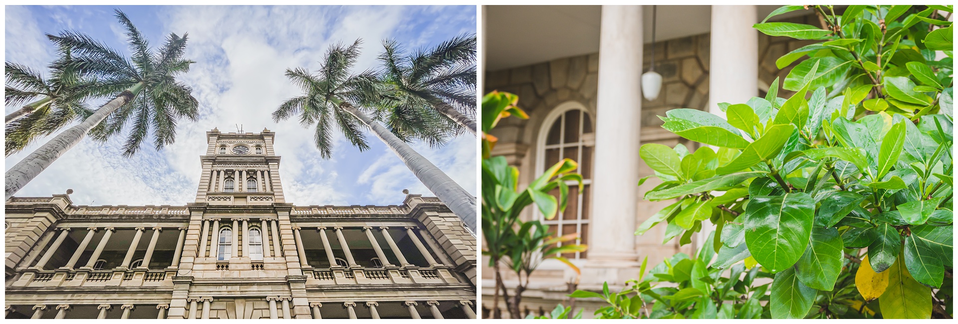
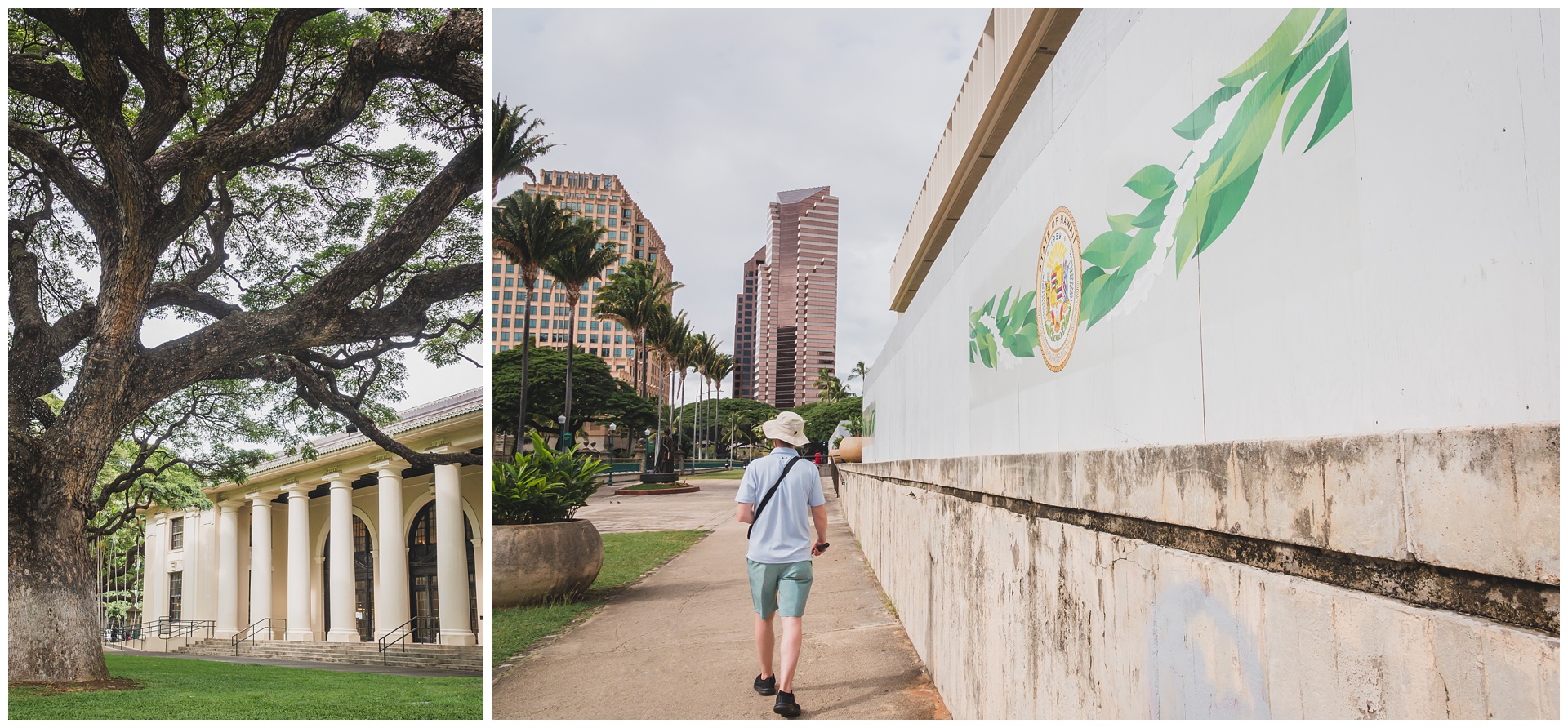
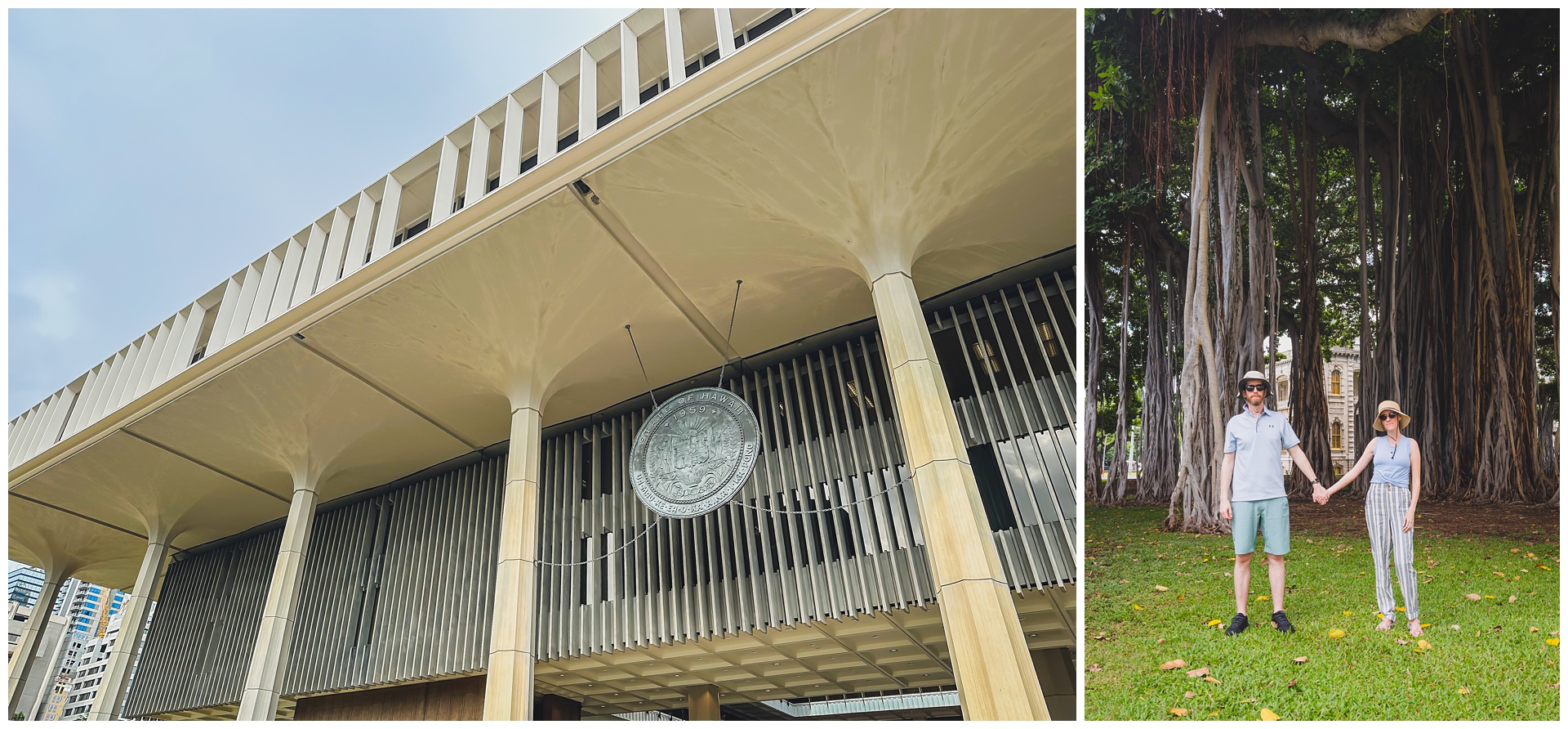 After making our way back to the Capitol, we caught the trolley again just as rain arrived.
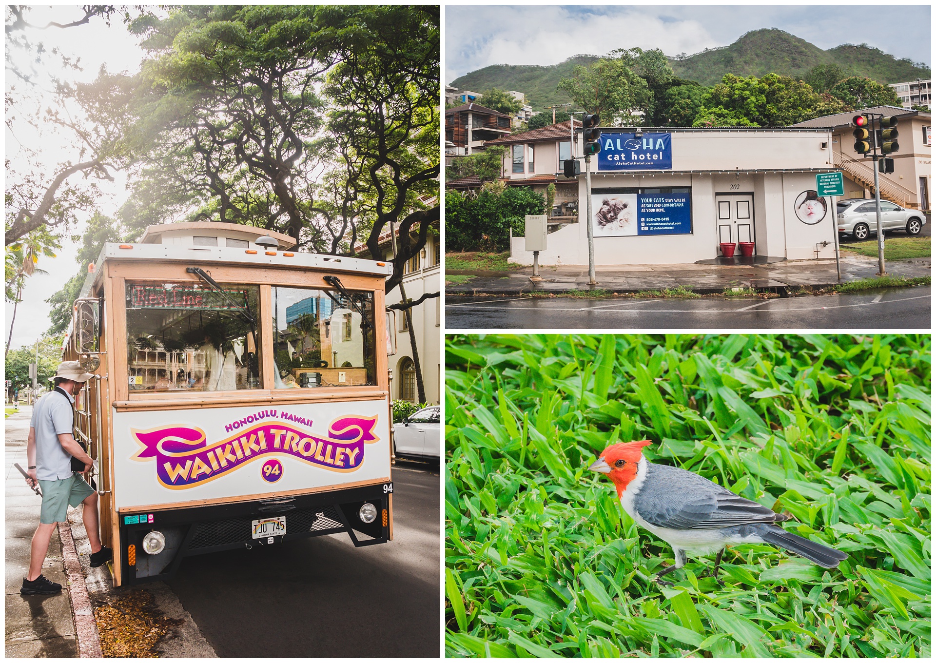
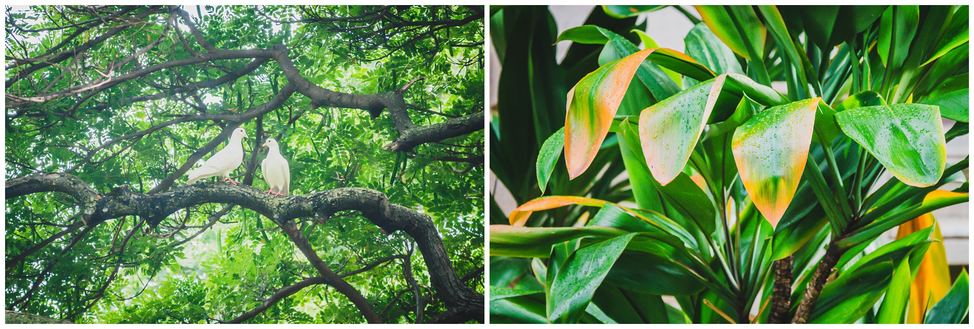
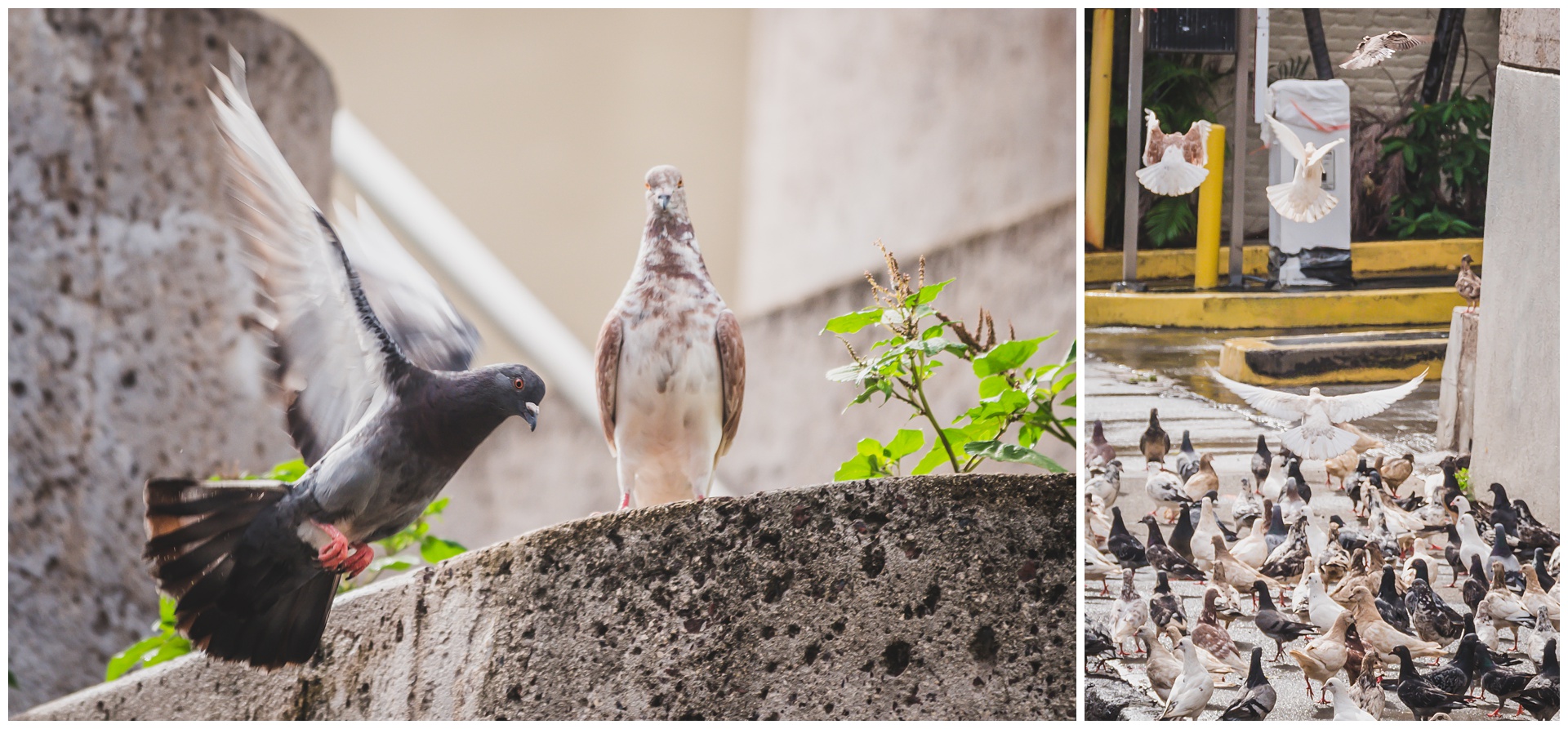
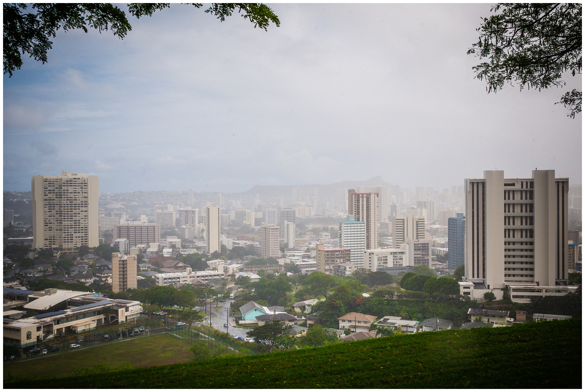
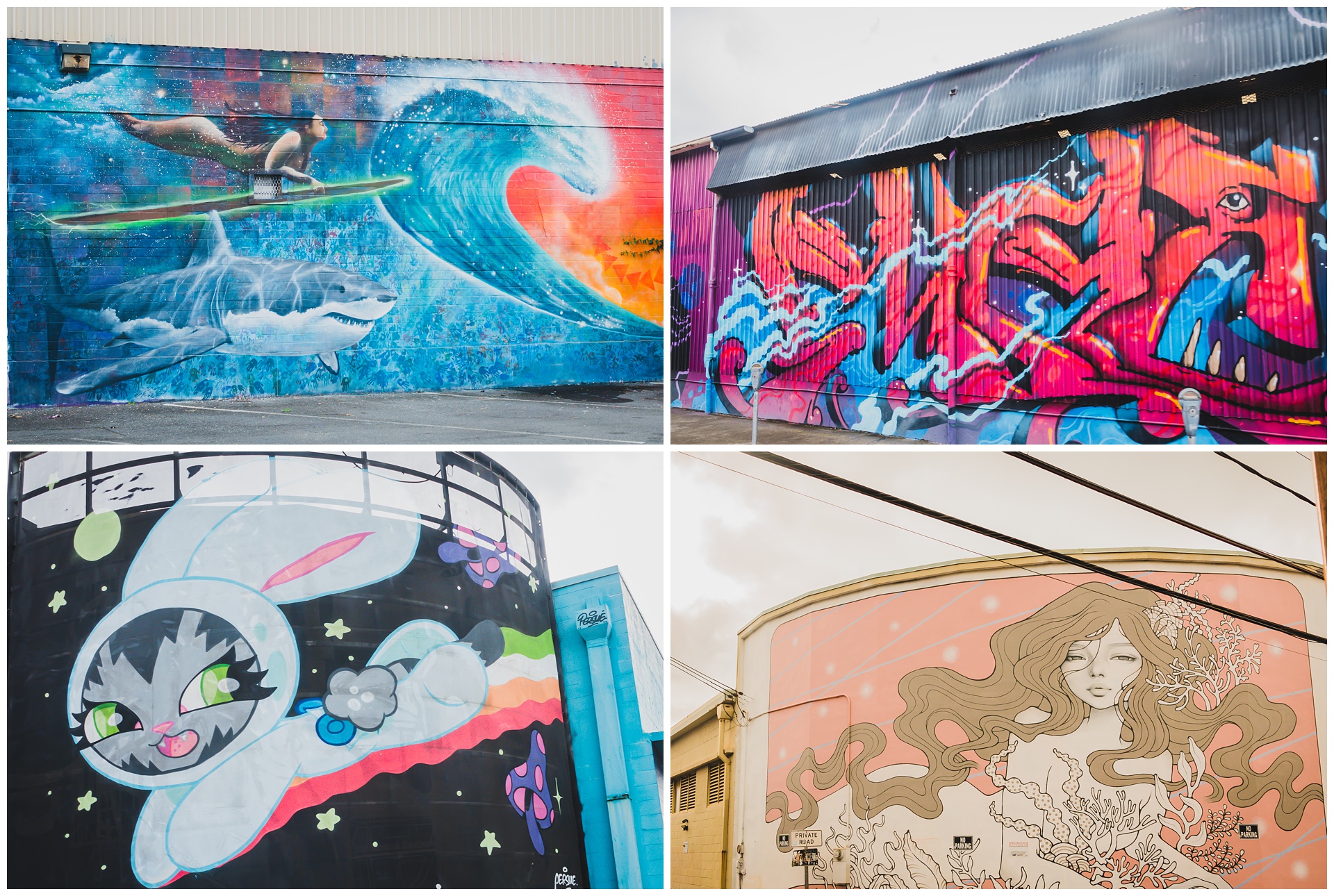
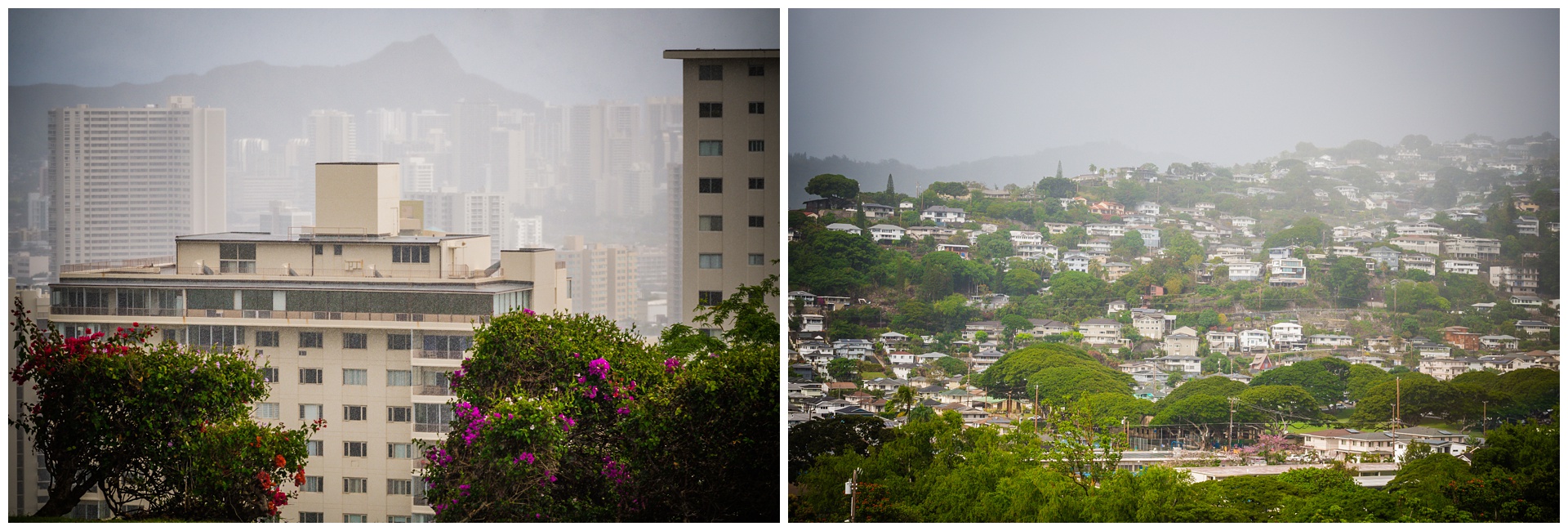 It was nice to stay dry while seeing more of the city – including the National Memorial Cemetery of the Pacific in Punchbowl Crater, Chinatown and many blocks of murals.
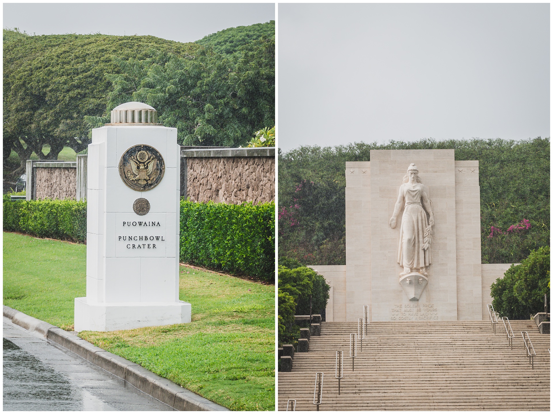
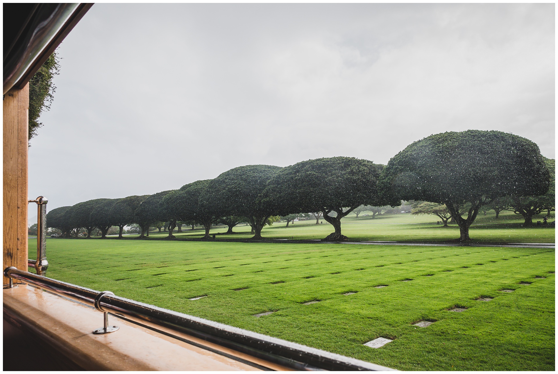
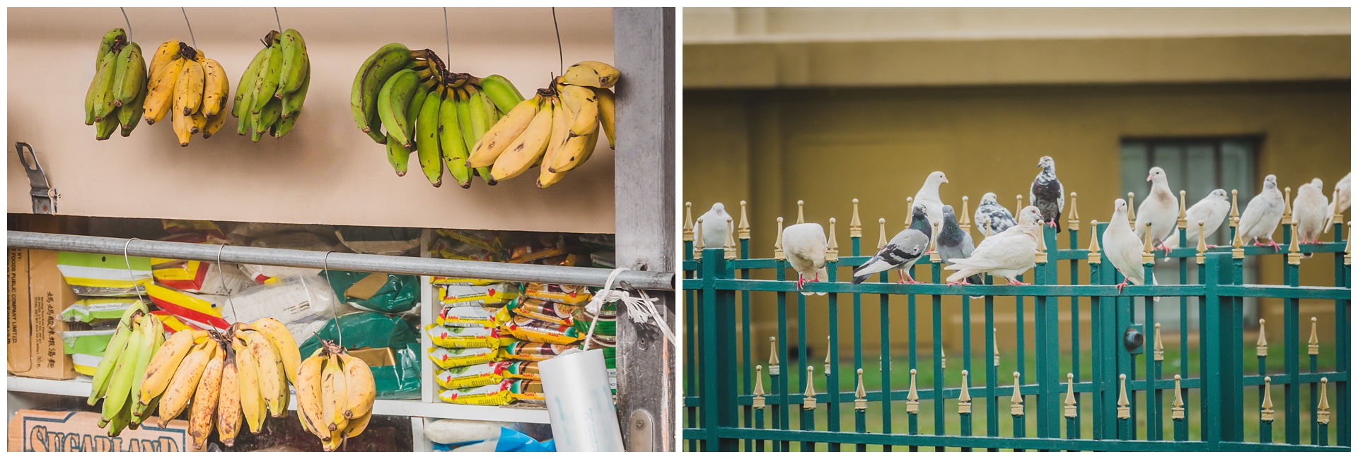
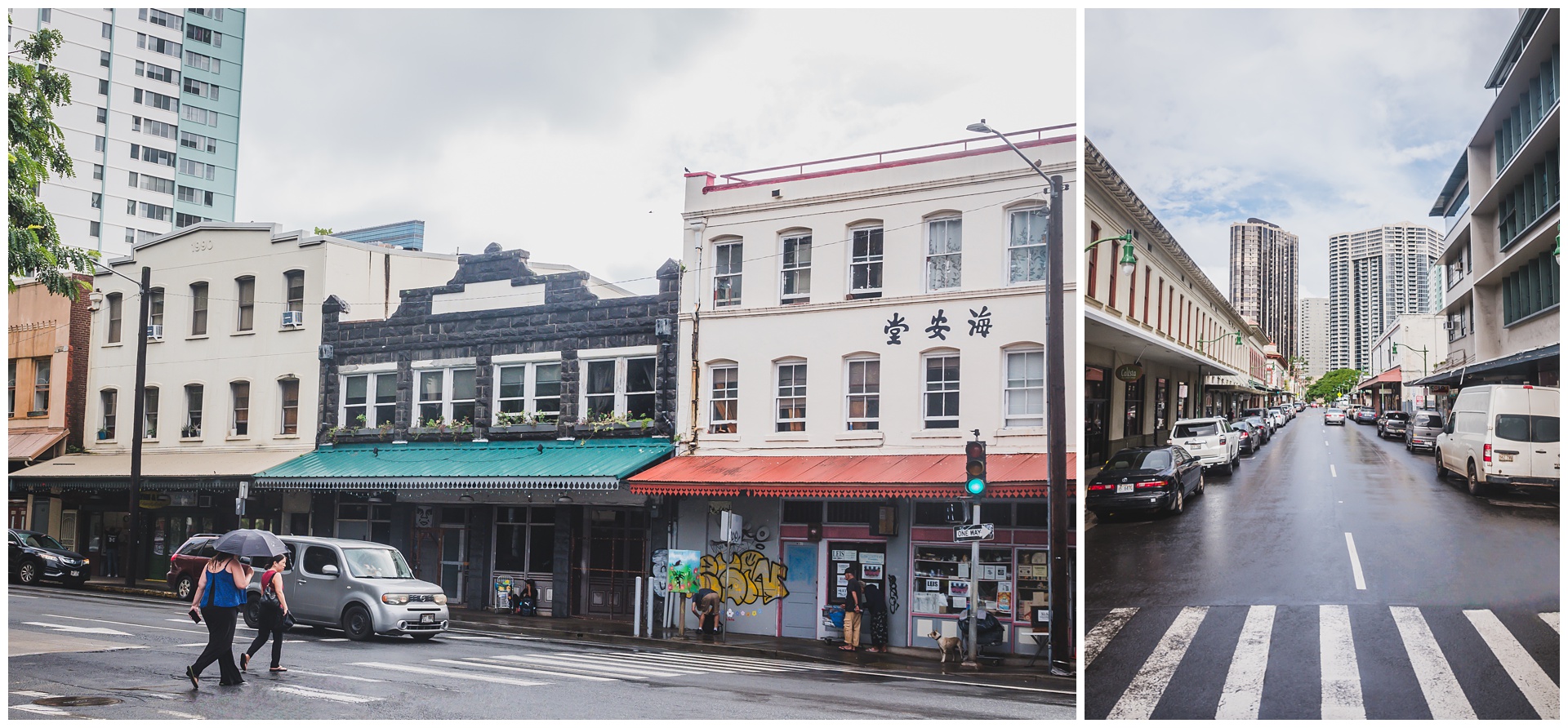
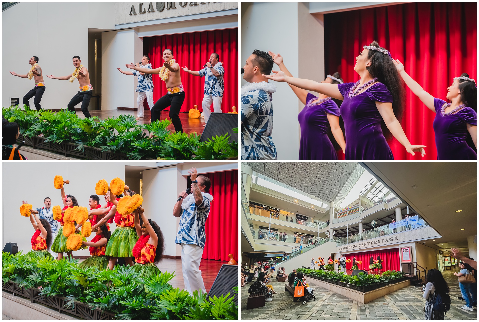
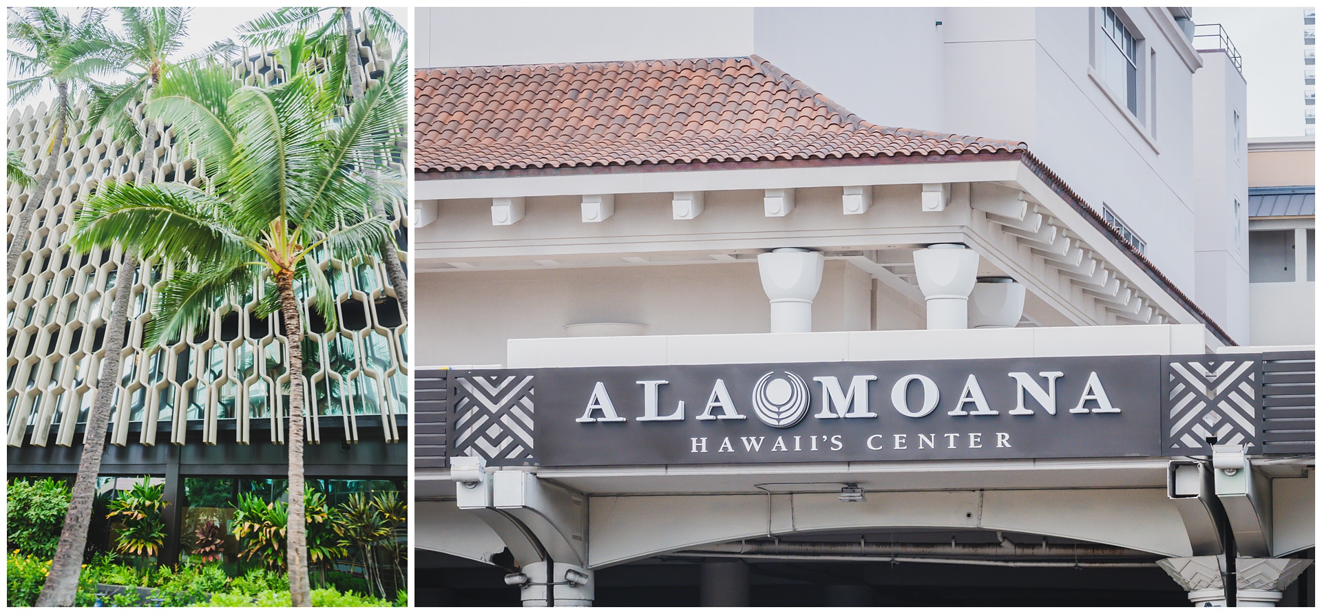 The last trolley stop for us was Ala Moana Center, where we’d parked earlier in the day. It’s the largest open-air shopping center in the world and puts on a free hula show most days of the week, which was a great way for us to have that quintessential Hawaiian experience.
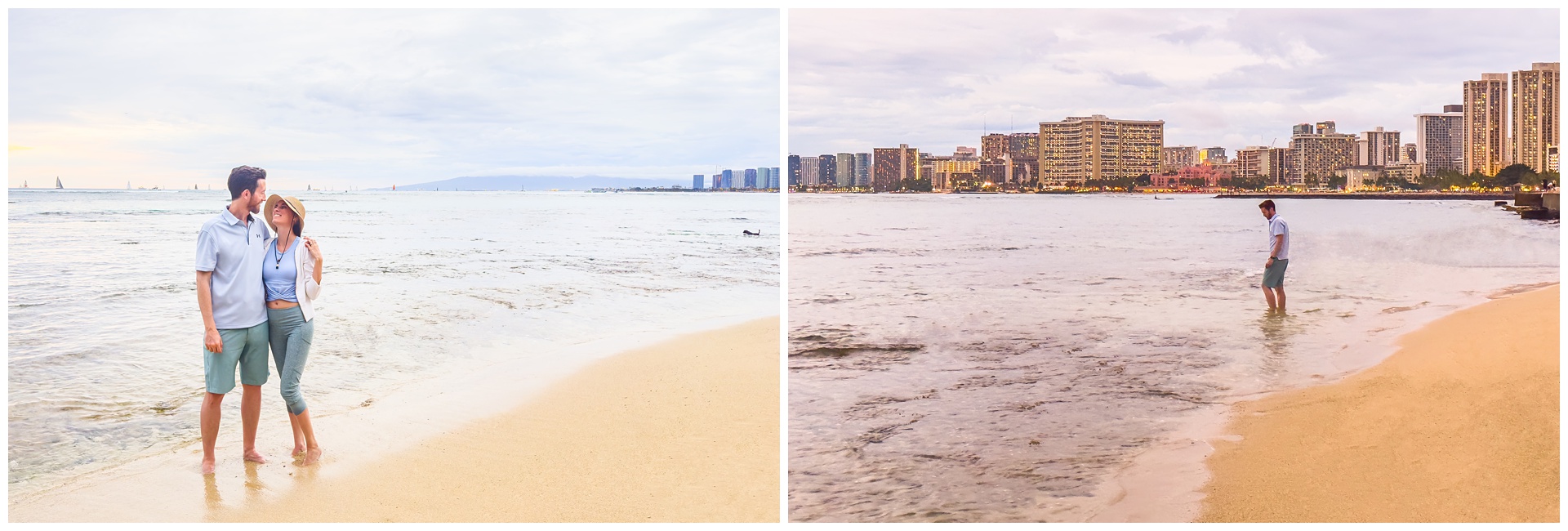
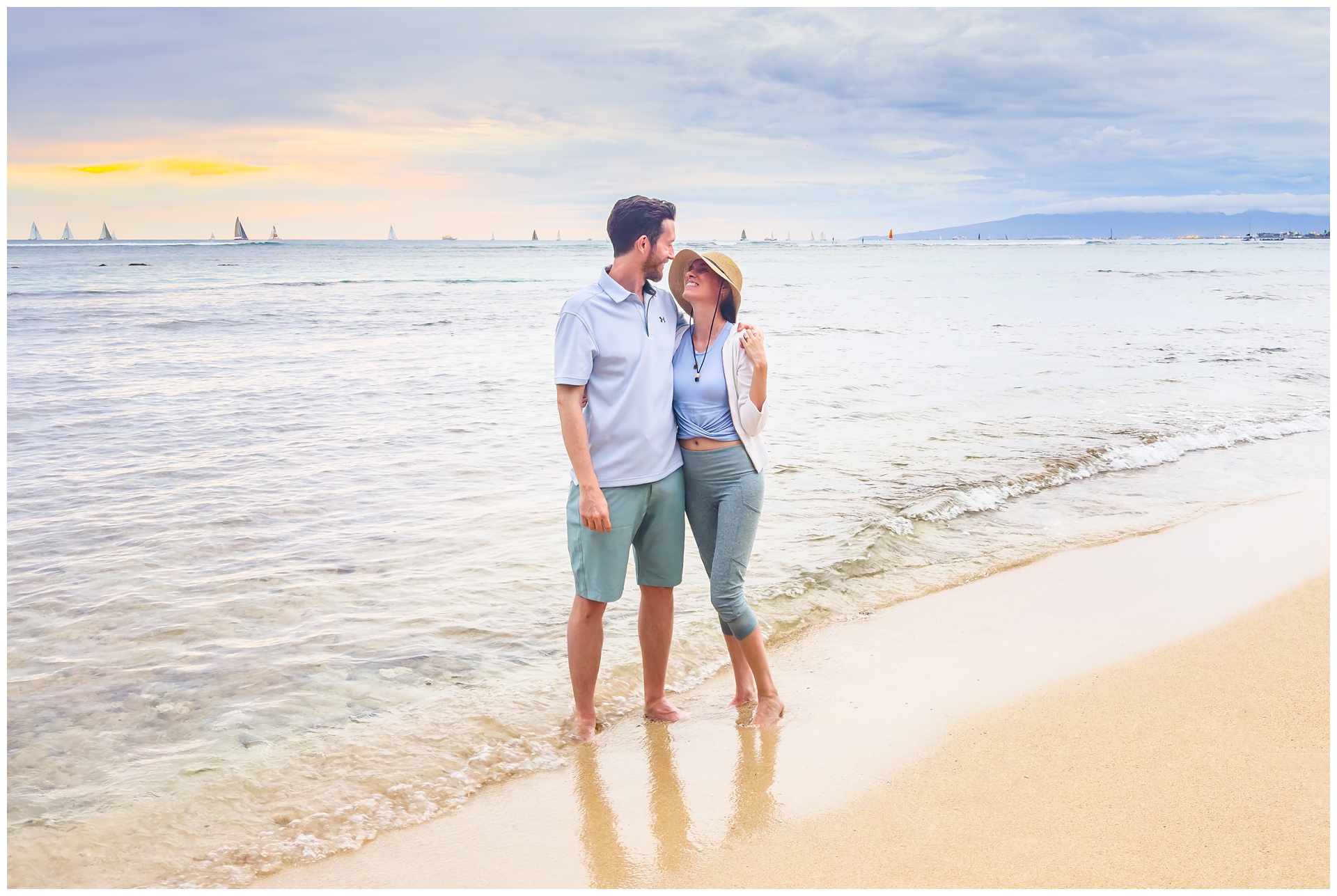 We ended the day at a beach we’ll call Waikiki-adjacent, as parking was easier to find there than at its more famous neighbor. And as an added bonus, we had this little strip of sand all to ourselves as the sun set and lights lit up the skyline.
day 12 • 02.04.23
Hawaii >>> home
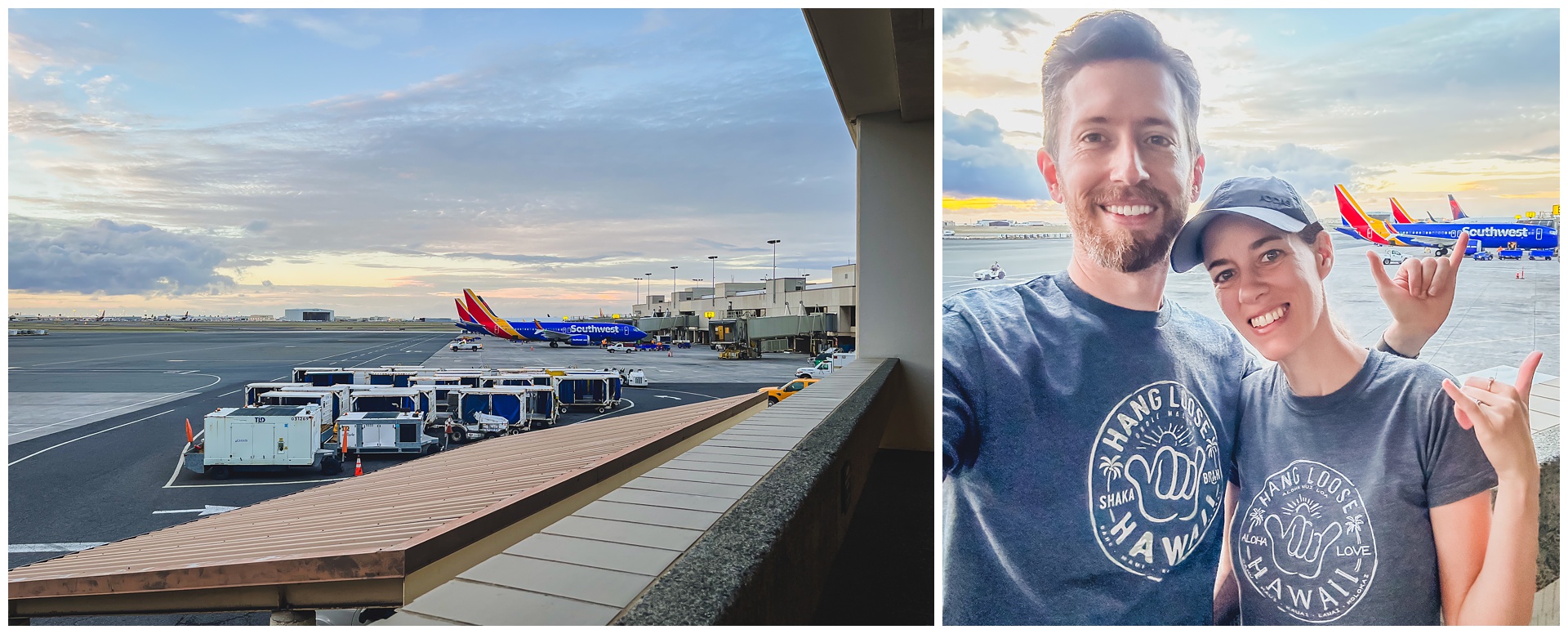 We were at the airport bright and early this morning, wearing souvenir shirts and sad to see this adventure end – but also happy that it happened and that we’d collected so many memories and experiences that will always be a part of our story.
I'm a print-journalist-turned-wedding-photographer who fully believes in the value of telling true stories beautifully. By means of a camera, I am a curator so my clients can be keepers of their most important moments.
start here
weddings over here:
take this quiz to create
a timeline for your day!
a nature trail
session in autumn
an elegant summer wedding at the elms
TIPS FOR TOP-NOTCH TRAVEL PHOTOGRAPHY
weatherproof
your wedding day